Underground photo of a mine site. Tools and various machines sit in front of a wall covered in wire. Text on top of the photo says: Geo Careers Melissa Ng.

Geo Careers: Melissa Ng

One question that I often am asked is, “How did you pick mining as an industry?” That answer is simple: De Beers commissioned a raw diamond exhibit at the University of Alberta where I attended school. This was my first introduction to mining and the idea and complexity around mining, which I found fascinating and challenging. The second question I always get asked is: “How did you get to where you are now?” That answer is a little more complex. We all take different journeys in life and career. Some experiences are within our control, and some are not. People always joke: “If I knew what I knew now, things would be different.” But there is no journey, no growth, and no success without those experiences. They are unique to us and mold us in the unique individual we are. So, to me, the real question should be “How has your experience specific to your career helped you to get to where you are now?” I began my first job search after graduation with enthusiasm, looking for the job opportunity that would launch my career. At the time, the market was hot with international opportunities, as well as Canadian prospects, which meant that I could be picky about the opportunities I pursued. I knew from my summer jobs doing exploration work in the Northwest Territories that I wanted a fly-in fly-out position at an operation and not field exploration work. My husband and I were married in 2007, right after my graduation, so choosing a fly-in fly-out role was a lifestyle choice we were making so that we could stay in Edmonton. My parents were born and raised in Saskatoon, SK so I knew about Cameco Corporation, the uranium producer centered in Saskatchewan. I was excited to have an interview with them. Even during the interview, being able to talk about structurally driven deposits was thrilling. I felt good after the interview, and therefore, was disappointed when I later received a call that hiring had been frozen due to unknown circumstances. Lucky for Cameco, I was so picky during my job search that I had only applied to one other company at the time. In January 2008, I received a call asking if I was still interested and if I could start next week. I didn’t even own a pair of steel toe boots yet, so I couldn’t start the following week, but I was thrilled that I did not have to endure a second round of interviews. The first time I flew into Rabbit Lake operation, which is situated at the edge of the Athabasca Basin in Northern Saskatchewan, I felt what I would describe as contained excitement. Contained because I didn’t want to make it obvious how “green” I really was. In other words, I did not want to stand out or get noticed. Which is very hard to do when you are a woman in a male-dominated industry, and in particular, a young woman in a male-dominated industry. I stuck out like a sore thumb, despite my cargo pants and winter coat. I was fresh meat, and everyone wanted to get to know the new girl. Throughout my career, I have heard stories of women who feel like they made the wrong career choice and have left the industry. When I hear this, I reflect back to those first few days at Cameco. My first room at camp was not my permanent room and there was a nasty draft from the window blowing over my head. I remember wearing my toque and not being able to fall asleep, wondering what I had gotten myself into. After a few days, I moved rooms and, luckily, there was no draft in the second room. I remember sitting around the lunch table with the geologists and engineers and hearing the story about why my hiring was delayed. There was an open historical drilled lake hole that intersected a stope (a stope is a term in mining for dugout space that contains your ore that is to be mined). It was marked as cemented, but after the blast, water started pouring into the mine – a sign you never want to see underground. But the tale was dramatic and heroic, and through teamwork the workers were able to control the situation and mitigate the water. The epic conclusion of the story involved a geologist shoving a piece of PVC pipe into the hole on the shallow lake bottom. I know we all exaggerate our stories, but at that point, I knew this was my crew and this was where I belonged. This was 2008 and when the financial crisis hit hard I was fortunate to be at Cameco. Many of my colleagues from school found themselves without work whereas Cameco sold its product with contracts with locked-in pricing, which meant that Cameco was stable. And so was my career. That geologist who starred in the epic conclusion of the story with the PVC pipe was Dennis Merber, who was also my first mentor in the industry. Once he became the Chief Geologist at Cameco, I learned a lot from him. He gave us the flexibility to make the position our own. He recognized that you need to incorporate fun at work if you want to improve efficiency. He also encouraged sharing of job tasks, which is the primary reason why I was not just exclusively logging core at the start my career. His job as a leader was to take care of the wellbeing of his people and sometimes that was as simple as a break with a little bit of fun. His leadership tactic stayed with me my entire career and I have used it many times, even sometimes when I had to defend my decision to add fun to the work cycle. I stayed with Cameco for 8 years because of the people. I built many great relationships over that time, relationships that I keep to this day.

Read More »
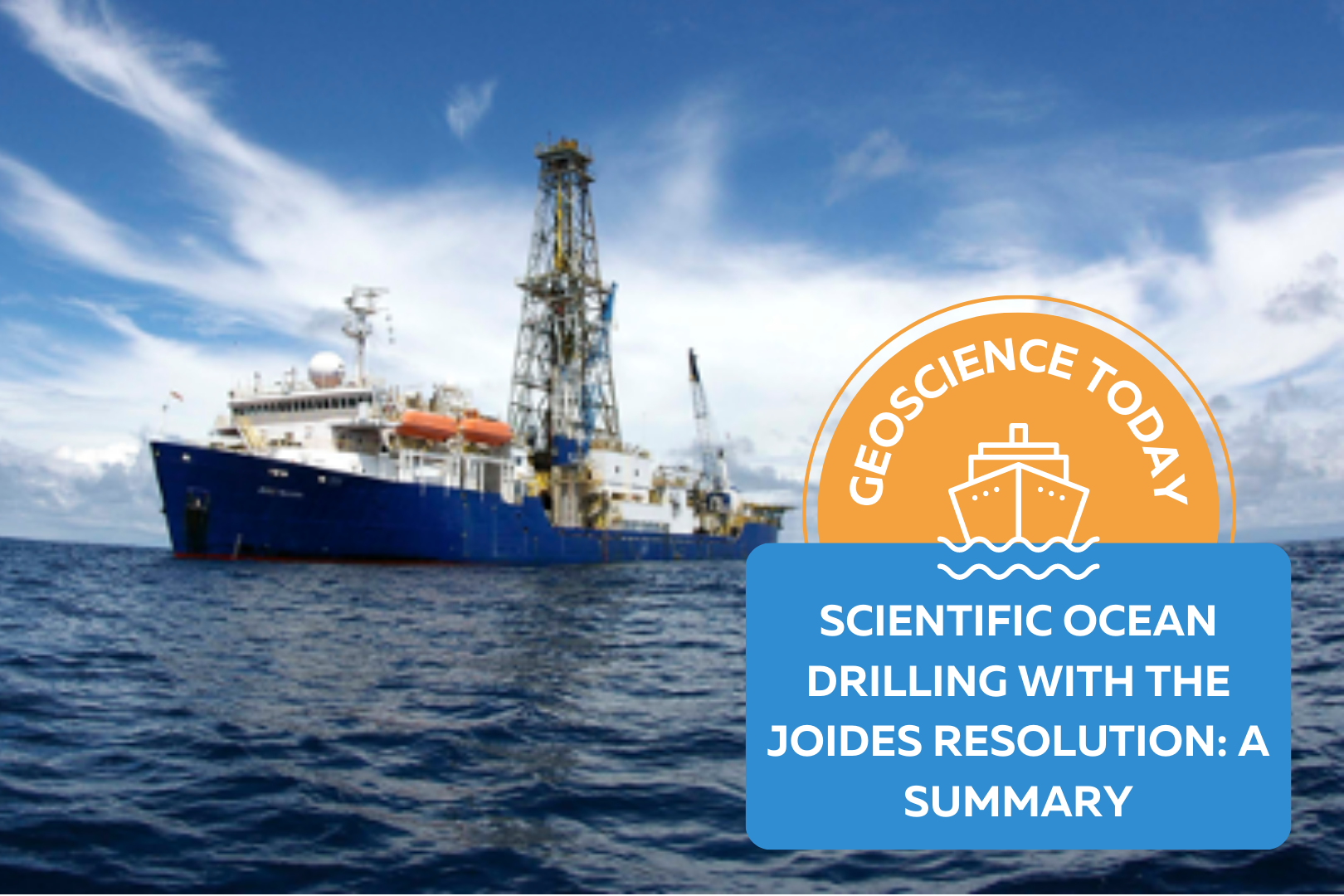
A large boat on the ocean. Text beside the boat reads: "Geoscience Today. Scientific Ocean Drilling with the JOIDES Resolution: A Summary."

Scientific Ocean Drilling with the JOIDES Resolution: A summary

Have you ever wondered how scientists study the rocks and sand on the bottom of the ocean? The International Ocean Discovery Program (IODP) is a research program dedicated to investigating sediments and rocks at the bottom of the ocean as a way to understand the history and structure of the Earth as well as the processes that shape our planet. IODP is funded by the US National Science Foundation and by national research agencies in 25 countries around the world. To be able to do the research as planned they need a research vessel that has the capability to collect rock and sediment samples from deep in the ocean. One of those vessels is called the JOIDES Resolution (often called The JR; see photo below). The JR has an international crew of seafarers, drillers, scientists and engineers all with the goal of improving our understanding of how geology, oceans, life and the atmosphere interact on Earth and how these systems have evolved over millions of years. Scientific ocean drilling has been a highly successful international collaboration for more than 50 years. The first ocean drilling vessel, before the JR, was a famous ship, Glomar Challenger, that roamed the world’s oceans from the late 60’s until the early ‘80s and directly contributed to our understanding of tectonic plates and how they form (see maps below). Today, the JR conducts 4 to 5 expeditions every year collecting samples and data of oceanic crust and sediments from all over the oceans to continue to build a better understanding of our planet, both past and present. Below are some example questions that were asked when the JR and predecessors have gone out on research expeditions: How is the ocean crust formed at ocean ridges? How does the ocean crust react with seawater and change over time? What were climate and oceans like during different times in Earth’s past and can we learn about future climate change? How has life evolved in the oceans? If you can ask a question, they want to answer it. The JR is venturing out to sea yet again this year to complete the IODP Expedition 393, the final chapter of a four-year expedition research project called the South Atlantic Transect. The last time this transect was visited to this extent was with the Glomar Challenger back in the 1960’s. The sites run perpendicular to the western flank of the Mid Atlantic Ridge, a range of submarine mountains that runs down the middle of the Atlantic Ocean where new oceanic crust is made and moves laterally (to the side) as it cools and sinks. This allows many processes related to ocean crust formation and aging to be studied. The Expedition 393 science team includes an array of different science fields. For instance, the team includes geoscientists that will be studying the microscopic fossils that can be found preserved within the ocean sediment. Microscopic refers to a significantly small item that requires the use of a microscope to see it. The science team also includes microbiologists that study the microscopic living organisms that are in the sediment and rock of the ocean floor! This addition to the research will help us better understand the extent of life on our planet. You can read more about the South Atlantic Transect 2 and the expeditions that came before it on the blog of the JR. You can also partake in the adventure and join the Onboard Outreach Officer, Tessa Peixoto, virtually on Zoom for a free ship tour. Expedition 393 will happen between June 7 and August 7, 2022. Whilst on the tour you will have the chance to speak to the scientists on board and ask them questions of what it is like to do research at sea. Email thejoidesresolution@gmail.com to find out more about how to sign up! Sources: Earth’s tectonic plates, Image, Encyclopædia Britannica, Encyclopædia Britannica, https://www.britannica.com/science/plate-tectonics#/media/1/463912/172045, June 11, 2022 IODP – International Ocean Discovery Program IODP Canada The value of rocks.A poem by Tessa Peixoto What is a rock,If not shelter from a predator,Or weather.What is a rockIf not a solid place to attach one’s holdfast.What is a rock,If not a used to be skipped across a calm surface of water. A rock is just that.A shelter.An anchor.A form of entertainment. A rock is also a storyteller.Its parts,If you pay attention long enough are called elements.Its parts,are the keys to understanding history.History that tells of death, change, and renewal. So…What is a rock,If not the burial grounds of fallen foraminifera.What is a rock,If not filled with crystalline rivers of minerals.What is a rock,If not the sedimentary pages of a changing ocean. -Tessa Peixoto, the author of this article, is the Onboard Outreach Officer for Expedition 393. You can find her poem here and the JOIDES resolution blog here.

Read More »
Two photos of Niagara Falls. The one on the left is grey and cloudy. The one on the right is bright and sunny. In front of the photos text reads: "Geoscience Today. GeoscienceINFO celebrates five years of serving the public."

GeoscienceINFO Celebrates Five Years of Serving the Public

The APGO Education Foundation is thrilled to celebrate five wonderful years of sharing our favourite subject with you – geoscience — via GeoscienceINFO.com. The Foundation itself was created in October 2014 as a charitable foundation with two main goals in mind: to help people in their journey in becoming geoscientists, and to provide accurate, reliable, and up-to-date information about geoscience to the public. We began our mission to help inform the public about geoscience by creating our website GeoscienceINFO.com on June 8, 2017. In the beginning, we had two main features we wanted to share with the public: geology-based virtual field trips of locations across Ontario, and short-but-informative Geovideos that explain geoscientific concepts and processes. To provide the highest-quality information to the public, we knew we couldn’t rush things. We started with one virtual field trip, one Geovideo, and a whole lot of enthusiasm! Virtual Field Trips The first virtual field trip released on GeoscienceINFO.com was of the Niagara area in southwestern Ontario, and this virtual field trip continues to be popular today. We were so excited to bring this field trip you the public that we first visited the Niagara peninsula in January to take photos! Needless to say, many of these photos were eventually replaced once the ice thawed and the trees started to bloom. Using Google Earth, seven stops in the Niagara peninsula were chosen for their geological relevance. Each stop has a detailed description of the geological history and relevance of that location. Because we know that learning is a highly visual process, we wanted to include as many photos of each stop as possible. This is why we have a well-stocked section at each stop of photos of the outcrop from as many angles as possible. In addition, we have a section of hand samples to give you a look at what the rocks and minerals are like close-up. Since 2017, we have continued to add more virtual field trips from locations all over Ontario. As of June 2022, we now have 17 virtual field trips available to the public, ranging from Thunder Bay to Ottawa. To better serve our public, we upgraded our platform in 2021 to the latest ArcGIS-based software offered by ESRI. This means our maps are quick to load, easy to navigate, and are supplemented by many high-quality and fast downloading photos. Geovideos In November 2017 we released our first Geovideo entitled “Where Does My Water Come From?” This two-and-a-half-minute video explains from where most people in Ontario receive their drinking water. Did you know that half of people in Ontario get their water from surface water bodies such as the Great Lakes? Knowing that piquing people’s interest is best for active learning and retaining facts, we wanted the Geovideos we released to be relatively short, accurate, and full of interesting facts like this that people can think about long after the Geovideo is over. Since 2017, we have released a number of Geovideos that explain geological processes and concepts. Our Geovideo “How Do Volcanoes Form?”, released in 2018, is our most popular video to-date with over 115,000 views! In 2020 we released a six-part series of Geovideos as part of our “Why Geoscience is Important” spotlight. From metal and mineral exploration to remediating disturbed lands, geoscience is associated with a broad range of activities and processes. As the world moves toward renewable energy sources, mining will continue to play a vital role as we need minerals such as copper, silicon, and silver to construct solar panels to harvest the Sun’s energy. Our Geovideos highlight the continuing importance of geoscience and answer commonly asked questions about various subject matter. Story Maps Our virtual field trips are set up like the university geology field trips that professors and students go on to learn more about geoscience. It’s important to us that everyone can experience this type of learning atmosphere. As such, they do have some limitations. Although our virtual field trips are full of information and photos, we wanted to give people more in order to truly immerse them in the area about which they are learning. ESRI’s new Story Map platform was the perfect way for us to do that. In November 2021, we released the first Story Map, of the Arkona area, at the Geological Association of Canada/Mineralogical Association of Canada (GAC MAC) conference in London, Ontario. In addition to the Arkona virtual field trip, presented in a new format, this Story Map provides a very detailed geological history of the region, and more paleontological environmental information, supplemented with a broad range of media types. Video segments of interviews with professors and local experts, drone footage, 360-degree photos, animations, 3D LiDAR imaging, and unique graphics are all included to provide a multi-faceted learning experience. Audio is also provided for all text, to augment accessibility options for the reader. We are so excited to be able to offer both options to learn about an area: our traditional virtual field trip, and our detailed Story Map. We will be creating Story Maps that will accompany all our virtual field trips, so be sure to look for these in the future! Beneath Your Feet: A Geoscience Blog One of our latest releases is the launch of our blog, Beneath Your Feet: A Geoscience Blog. We weren’t joking around when we decided to release a blog! Veronica Klassen, who has completed an M.Sc. in Science Communications, joined our team in 2021 to oversee the production, launch, and organization of our new blog. Because geoscience (like all science) is a dynamic field that is constantly growing, learning, and expanding, it’s important that we let the public know about the latest research. We publish articles bi-weekly, and articles are written by either our staff or by guest writers who are experts in their field. We feature columns by geoscience professors, students studying geoscience, licensed Professional Geoscientists (P.Geo.s), and local experts. If you’re practicing or studying geoscience and have something you’d like to communicate with the

Read More »
Northern Ontario landscape with text: "Geoscience Today. The significance of Ontario's Ring of Fire to Canada's Climate goals."

The Significance of Ontario’s Ring of Fire to Canada’s Climate Goals

When you hear the term “Ring of Fire,” you might think of Johnny Cash’s famous song by that name. Or, if you remember grade school geography, you might think of the Pacific Ring of Fire—an area of high volcanic activity that surrounds the Pacific Ocean like a ring. But you probably haven’t heard of the third use of the phrase—Ontario’s Ring of Fire. In Ontario, the Ring of Fire is an area of 5000 square kilometres located approximately 400km north of Thunder Bay where there are significant mineral deposits. It’s called the Ring of Fire for two reasons. #1: If you look at a magnetic map of the area, there is a clearly delineated arc of responses. And #2: The founder of Noront, the mining company who first discovered the minerals in the area, was a huge fan of Johnny Cash. The Ring of Fire is made up of shared lands governed by 9 different First Nations. In recent news, the Ring of Fire has come to public attention due to concern from First Nations communities who are opposing the development of mines in the area and criticizing the government’s insufficient involvement with Indigenous communities in decision making processes. Let’s take a step back and look at why the Ring of Fire is geologically and environmentally important. Geologically, the Ring of Fire is an arcuate belt of Archean (approx. 2,750 MA) mafic and ultramafic rocks surrounding an intrusion of granodiorite. Based on exploration to date, the area is rich in deposits of important metals such as nickel, chromium, copper, zinc, and platinum. Since the Ring of Fire’s mineral deposits were discovered in 2007, mining companies have been eager to start developing mines in the area. Some of these deposits would likely be amenable to profitable underground mining (e.g., Noront’s Eagle’s Nest), but most of the chromite deposits discovered to date would require open-pit mining to extract them. There have been estimates of the total in-situ value of the Ring of Fire deposits ranging from $30 billion to $60 billion. However, the investment and costs required to extract them may reach similar levels, such that the actual economics of mining some of these minerals in the area remain to be established. Ecologically, the Ring of Fire is situated in the Hudson Bay Lowlands, which is the largest peatland in North America. Peatlands are waterlogged ecosystems where organic matter never fully decomposes, leading to the buildup of peat. This means that peatlands store large amounts of carbon from partially decomposed organic matter. The peatlands also absorb carbon dioxide from the air, acting as a filter for CO2. Peatlands are therefore important in storing and retaining carbon to mitigate the effects of climate change. As several Indigenous Chiefs have noted, disturbing these peatlands would release their stored carbon dioxide into the atmosphere. Since carbon dioxide is a greenhouse gas, the release of CO2 would go against the promises made by the Canadian Government at the Paris Accord to mitigate climate change. The potential impacts upon the environment from mining in the Ring of Fire are substantial, particularly if it was proposed to extract chromite (the chromium mineral) by open-pit methods. Not only would that process disturb the peatlands, potentially releasing stored carbon from the peatlands, but surface disposal of mine waste and tailings would (at least in part) be deposited on top of the peat. Indigenous communities have also emphasized the potential negative impacts on surface and groundwater from mining, as several First Nations live directly downstream from the Ring of Fire and would be negatively affected by any toxic runoff or damage to the rivers. The Canadian and Provincial governments have made a goal to invest in the production of electric cars to decrease Canada’s emissions from gas- and diesel-powered engines. The mineral deposits in the Ring of Fire contain nickel and copper, essential minerals for building electric car batteries. In March 2022 the Provincial government released a plan to build electric cars from start to finish in Ontario and has stated that this would require minerals to be mined in Ontario as a first step along the production line. Ontario already produces both nickel and copper from existing mines in the province, so new developments in the Ring of Fire would be complementary to those currently operating and could add significantly to the resources available for incorporation in electric vehicles as their production is ramped up over the next few years. Opening mines in the Ring of Fire could be a great boost for Ontario’s economy, as they would generate many job opportunities for local communities. Several of the communities surrounding the Ring of Fire are not currently accessible by road, so building infrastructure to support the mines would connect these communities to Ontario’s provincial highway system and allow electricity to be delivered by powerlines rather than diesel generators, thus reducing the carbon footprint of those communities. There are many different factors to consider when deciding whether mining developments in the Ring of Fire should go forward. Included amongst these is weighing the cost of releasing carbon dioxide into the atmosphere with the potential decrease of released carbon from electric vehicles. Additionally, the potential impact on the watershed or the increase in jobs for First Nation communities should be considered. These factors are some of the issues that comprehensive Environmental Assessments are designed to evaluate thoroughly. One of the major considerations in any new mining development proposal is the duty to consult and engage with local and affected communities. In this case there is strong opposition from some local Indigenous communities. In early January 2021, groups from the 9 affected First Nation communities met with the Minister of Environment and Climate Change Steven Guilbeault to discuss the upcoming Regional Impact Assessment that is planned for the area. The goal of the RIA is to quantify the extent of the ecological impact of mining on the Ring of Fire. Soon after the meeting, chiefs from Attawapiskat, Eabametoong, Kashechewan Cree, Fort Albany, and Neskantaga

Read More »
Aerial photo of Toronto with CN tower and skyscrapers. In front of photo text reads "Geoscience Today. Contrary to popular belief, Eastern Canada is more at risk of earthquakes than perceived."

Contrary to popular belief, Eastern Canada is more at risk of earthquakes than perceived

Author: Alexander Lewis Peace, Assistant Professor (Structural Geology), McMaster UniversityThis article is republished from The Conversation under a Creative Commons license. Read the original article here. Most Canadians believe that the greatest national risk of a devastating earthquake lies in British Columbia. The whole Pacific northwest coast, with its rugged topography and history of the San Francisco and Los Angeles earthquakes farther south, is what typically comes to mind when we talk about the “big one” that has yet to hit. We want to change that perception while there’s time. A closer look at the complex factors at play, both under and on the Earth’s surface, shows that some of the worst risk is actually where Canadians are probably least expecting it: in a zone running from the Great Lakes to the St. Lawrence River that includes major cities like Toronto, Hamilton, Ottawa, Montréal and Québec City. Experienced preparedness It’s true that the same faults that put California and parts of the West Coast of the United States at risk also make B.C. a serious earthquake concern. The notorious “Pacific Ring of Fire,” where massive tectonic plates are constantly threatening to reshape the landscape as they shift, collide and overlap, is aptly named. It’s safe to say coastal B.C. has a culture of earthquake readiness. People on the West Coast are much more aware and better prepared. They are familiar with emergency protocols, and many keep a survival kit handy in case a quick exit becomes necessary. Seismic monitoring is abundant, and far more buildings are designed or retrofitted to mitigate the potential for serious earthquake damage. This is not the case in southern Ontario and southwestern Québec, even though the risk is significant as more than half of Canada’s population lives in this vulnerable corridor. What is the source of this complacency? Understanding risk It likely has to do with the type of risk. In Eastern Canada, the threat is not directly from the interplay between plates of the Earth, as it is in the west. In Ontario and Québec, the risk is from the less sexy but still deadly intraplate activity — seismic activity that occurs in the middle of tectonic plates which are not directly associated with plate boundaries. Intraplate areas also have faults. Some, dating as far back as the formation of the continents, can be reactivated under certain stresses, such as when pressure on the edges of plates thousands of kilometres away push on them, causing them to move. Lines of weakness dating back millions of years can become hazardous once again when new stresses come into play. When the last of the glaciers receded about 11,000 years ago, for example, their massive weight left the Earth’s surface dented. That’s a long time to us, but it’s a snap of the fingers in geological time. In places where the ground has not yet “popped” back into place, it is overdue to do just that, potentially violently pushing people, buildings and infrastructure out of the way. Earthquakes happen all the time in Canada. There are about 4,000 every year, most of them too small or too remote to notice. But from time to time, there are much stronger quakes. A disproportionate number of those have happened in Eastern Canada, especially in the Ottawa Valley and western St. Lawrence Valley, in seismic zones that include Ottawa, Montréal and Québec City, but also farther west, in the highly populated seismic zones of the lower Great Lakes. We are not the first to suggest these hazards in Ontario and Québec need more attention, but our recent research confirms these risks are real and the threat is imminent. Reading the landscape In Canada, there isn’t a very long record of instrument-recorded seismological activity, especially in the eastern region, but we do have abundant physical evidence of significant earthquakes from the past, which still remains the best predictor of future events. The bottoms of major lakes in Ontario and Québec, for example, provide a significant and still visible record of sediment upheaval that could only have been caused by major earthquakes long before human settlement. As scientists we feel bound not to panic anyone unduly. At the same time, we feel a duty to offer warnings where they are needed, and this is certainly one of those instances. The risk in Eastern Canada has less to do with magnitude, which can be measured on the familiar Richter scale, and more with vulnerability. A lower magnitude quake that strikes in a vulnerable area, such as a densely populated city like Montréal, can still be catastrophic, especially if it happens at the wrong time of day, such as rush hour or in the middle of the night. Predicting the timing of earthquakes is still beyond the reach of science, and even if we knew precisely when and where a quake was coming, there would still be nothing we can do to stop it. What we can do is take action to mitigate harm from seismic events through infrastructure design, pinpointing more specific areas of heightened risk through research and making sure that resources, including insurance, are available for recovery. In Canada, most of the anticipation of big earthquakes focuses on the Pacific coast. We’d like everyone to add the Great Lakes and the western St. Lawrence region to that mental file — and to be ready. I am a structural geologist leading the McMaster Structural Geology and Tectonics Group, in the School of Earth, Environment and Society at McMaster University. I research deformation processes and associated hazards as well as resources. I am particularly interested in rifting and breakup, rift-related magmatism, seismic hazards, and structural inheritance. Geographically, I have worked around the North Atlantic, with a particular emphasis on Eastern Canada. The nature of my work requires a multifaceted approach incorporating a wide variety of approaches and methodologies such as: seismic interpretation, field-based studies, numerical modelling, petrology, structural modelling and geochemistry.

Read More »
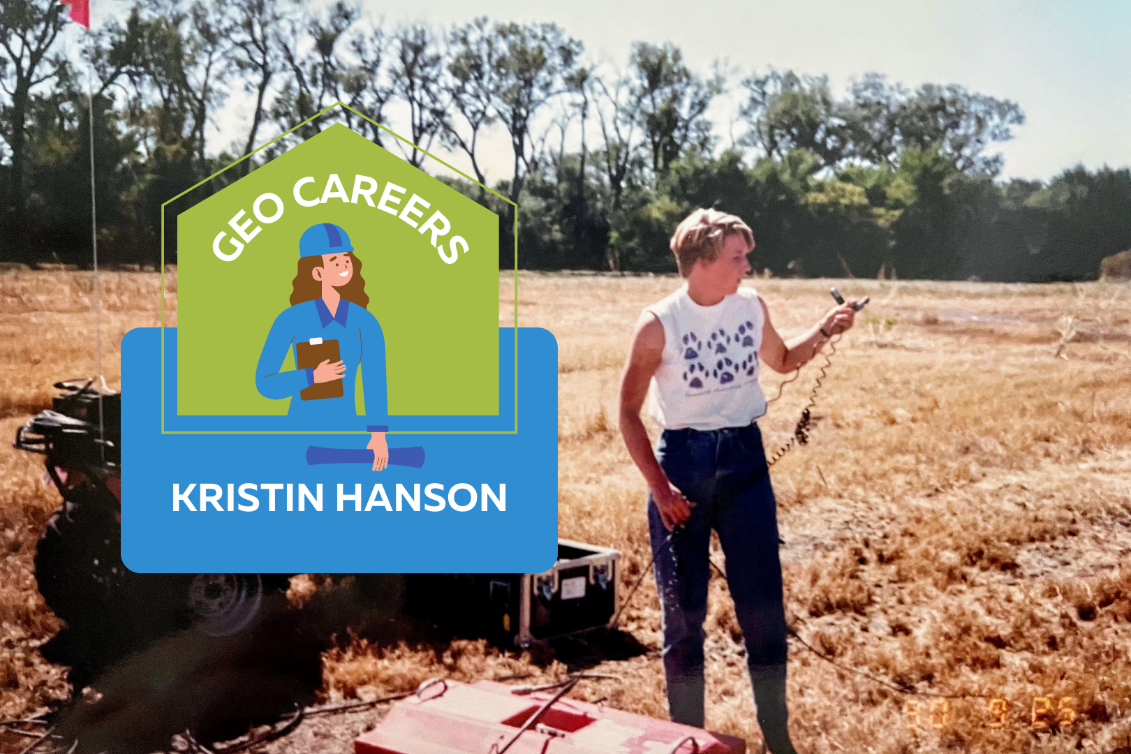
Kristin standing in a field with technical equipment. Text reads: "Geo Careers. Kristin Hanson."

Geo Careers: Kristin Hanson

After 30+ years of work in the consulting industry, I look back at lessons I wish I had learned and advice that I wish I had received earlier in my career.  In sharing these personal lessons learned, I hope to help you with your career. I finished my career in the position of Senior Vice President of Infrastructure Engineering for SNC-Lavalin, one of Canada’s largest engineering companies. I managed a team of engineers and scientists in Ontario who were designing major infrastructure (highways, transit lines, bridges, and buildings), providing geotechnical and environmental support services to infrastructure construction, and investigating and cleaning up contaminated sites. A female geoscientist managing a large infrastructure engineering group. This was a first! But let’s go back to when the story began…. I started my career in the Washington D.C. area working to clean up groundwater at former military bases.  Explosives and chemical warfare agents sound like something from an action movie. But early in my career, they were a daily concern. As I stood in my full PPE in the middle of a field riddled with ticks and unexploded ordnance, I wondered what in the world I was doing! I bonded with my co-workers while we helped each other in and out of our PPE, and even had to practice giving each other injections of an antidote in case of chemical warfare agent exposure. We bonded over this crazy work and relied on one another to accomplish our tasks safely. When I graduated with my B.Sc. in Environmental Geology, I thought I knew everything. I studied geology because I liked science and didn’t really want to work with people. I used to say I don’t like people; I just like rocks – they don’t talk back! My early experiences in the field taught me how little I really knew, and that people could teach me things, if I listened. My work on the military bases projects got me new assignments working on other projects in the western US, France, and Puerto Rico. I would travel from one site to another, often without any breaks in between because managers all wanted me on their projects. I had turned into a pretty good field team leader, and they knew they could count on me to get the scope of work done right. I was managing field teams and drilling crews, often the only female at the site. I felt like I had to be tough and work hard to prove myself. I had no social life, I missed weddings and funerals, but I was busy with work. I thought that my dedication would be recognized and rewarded. Instead, I got exhausted and burned out. I eventually left my job to go to graduate school. I thought having my M.Sc. would help me get what I wanted: a career that I enjoyed as well as a life. PIECE OF ADVICE #1:  Don’t sit back and wait for rewards to come to you. Good work is rewarded with more work. Speak up and ask for what you want! While I was working on my master’s degree, my advisor told me that I should have a “career plan.”  I had no idea what that was at the time, but I thought about it a lot.  I asked my fellow grad students if they had a career plan.  I got some interesting perspectives from them and started talking to more people to see what I could learn from them.  This was a turning point for me.  I realized that my “drive for excellence” mindset that made project managers love me was probably considered aggressive and off-putting to a lot of people. I learned empathy and to listen to learn and understand. PIECE OF ADVICE #2:  Listen, don’t assume. Focus on learning everything you can from those around you. Everyone has something interesting to teach you if you set aside your ego and listen. M.Sc. in hand, I moved to Ontario and worked in the environmental consulting business as a hydrogeologist.  I came to realize that armed with the skills of empathy and listening, I did like working with people after all, and I made a pretty good project manager. In fact, I had leadership skills. I was an excellent “second banana.” I took pride in how much my bosses relied on me to get things done behind the scenes. One day my boss approached me and one of my colleagues in the hall. He said, “I’m planning a reorganization and I need to promote someone to Vice President and it will be one of you two, who wants it?” To this day I don’t really know why I had such a sudden reaction, but I immediately took a step back and pointed at my colleague. I didn’t say a word, just pointed at him. A month later he was my boss. PIECE OF ADVICE #3:  Your career starts out like a leaf in a stream, you float along learning the ropes but if you don’t take charge, you will just end up where you drift. Don’t be passive, make some goals and a plan to achieve them, with these you have a way to navigate the stream to get to where you want to go. When you engage with a mentor, you are adding a motor to get where you want to go faster. After I realized my mistake, I started engaging people as mentors, and trying to demonstrate that I was a senior manager. I had the skills, why didn’t I demonstrate them more openly? I started speaking out – a lot. I came up with ideas and strategies to improve the business. After a few years, there was another re-org, and I got that VP job. I loved it! I had really hit my stride. But it had taken me too long to get here. PIECE OF ADVICE #4:  Go for it! You don’t have to have 90% of the qualifications of a job to apply; if you meet 50% go for it! You can demonstrate that you can quickly learn the rest. If it doesn’t work out this time, you

Read More »
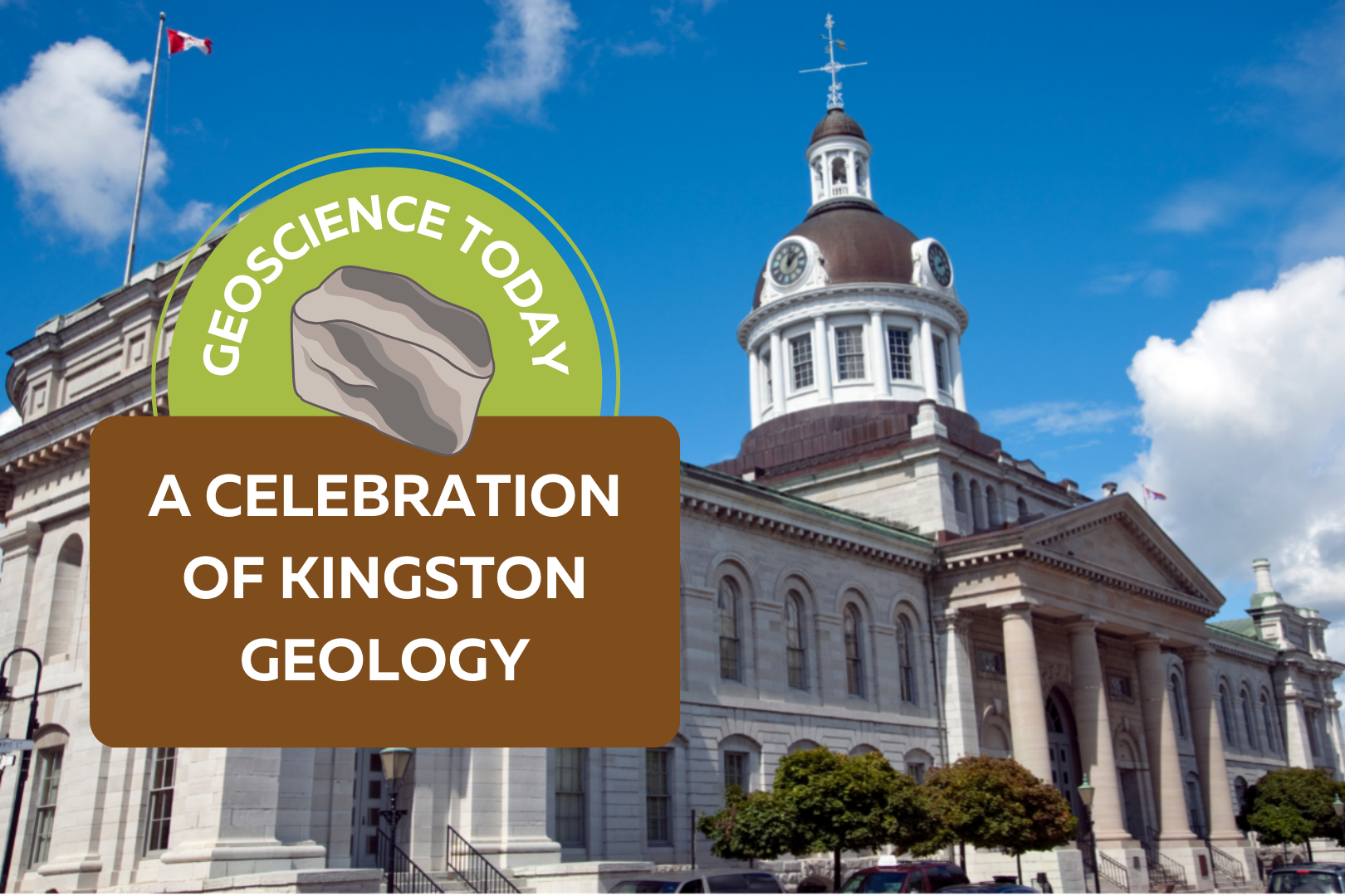
Kingston town hall. In front of the photo text reads: "Geoscience Today. A Celebration of Kingston Geology."

A Celebration of Kingston Geology

We at the APGO Education Foundation are always looking for an excuse to celebrate geology. What better way to do that than to sing the geological praises of the Kingston area! On Saturday, May 7, 2022, the APGO Education Foundation and Mining Matters will be hosting a table at the Science Rendezvous event in Kingston, Ontario, at the Leon’s Centre. We hope that you will drop by and talk a bit of shop with us, because we haven’t been able to talk about geology with you in person for so long! This year our theme is “The Geology of Kingston.” From May 7-22, we will be offering a geology themed scavenger hunt where you can earn your digital “Geo-Explorer Badge” of Kingston, and a chance to win one of five cool prizes. Choose from a list of geologically interesting rocks listed on our site, then visit a minimum of six of those rocks located either on Queen’s campus or along the Kingston Waterfront. Take an original photo of the rocks you visit, then submit them to us online. That’s it! If you have visited the correct rocks and submitted an original photo, then you will qualify to win one of five beautiful geology textbooks. Five winners will be randomly selected from qualifying entries. You can also visit us at our booth on May 7th to look at some rock samples of Kingston and talk about how they formed. Did you know that Kingston is also called the Limestone City? People used to build limestone buildings right on top of the limestone they excavated to make them! But limestone isn’t all that Kingston has to offer. Not even a little bit. To say that Kingston has a complicated past would be a big understatement. The area shows evidence of so many geologic events throughout the past billion-plus years that it requires a lot of detective work by geologists to try and piece these events together. Perhaps we’ll never know the full detailed story; however, we can be sure it will give geologists something to think about for centuries to come. To the northeast of Kingston lies a strip of Precambrian rock called the Frontenac Arch. It connects the Precambrian rocks of Algonquin Park to the northwest to those of the Adirondack Mountains to the southeast. The rocks themselves were formed between 1.1 to 1.4 billion years ago, the later stages of which were thought to be a time when there was quite a bit of volcanic activity, resulting in a lot of magma being deposited on the continent1. As if all this magma spewing all over the ground wasn’t enough excitement, the igneous rocks that formed from this magmatism were then deformed due to a process called metamorphism. This metamorphism was a result of an incredibly massive mountain-building event, or what geoscientists call “orogenesis”. This mountain building event is called the Grenville Orogeny, and it lasted until about 980 million years ago. The mountain range itself was massive – it ran from Labrador, Canada, down to Mexico, in a northeast to southwest direction. The mountains formed when at least two continental landmasses collided with Laurentia, the large North American continental landmass at the time. The term “collide” implies an immediate event. But the movement of continental plates is not instantaneous; average plate movement is 10 cm per year. While this rate of movement might seem inconsequential at first, remember that continents are ridiculously massive in size and just because they come in contact with another on-coming continent does not mean they stop moving! Once a continent collides with another continent head-on, the ground starts to buckle and has nowhere to go but up. Think about the last time you shoveled your driveway (brr!). When you put your shovel down, the snow is flat and beautiful, just as it was deposited. When you start to push your shovel though, the snow buckles and builds upwards, forming little mountain-like structures made of snow on your shovel. In orogenesis, instead of snow, the ground itself is pushed upward on a massive scale, forming mountains. Over many millions of years, the Grenville Orogeny was formed in North America, its western edge giving Kingston, Ontario a high five. You might be thinking “Wait, I’ve been to Kingston and there weren’t any mountains there!” You’re right… and you’re wrong. Like all good things, even mountains must come to an end. Once the continents stopped pushing into each other, the ground was no longer being pushed upwards and the mountain building phase ended. With no upward building, the mountainous sediments had nowhere to go but down. Over the next several hundred millions of years, the powerful effects of weathering and erosion wore the mountains down until not much remained but their roots. When you walk over the Frontenac Arch, you are walking on the roots of an ancient mountain! At one point in time, these very rocks were at the bottom of a mountain as tall as the Himalayan Mountains. With that amount of weight sitting on top of you, you can imagine things would get pretty uncomfortable. The rocks found in the roots of a mountain are commonly subjected to metamorphism. Because of the high temperatures and pressures there, they undergo deformation, which alters the original (or “parent”) rock to form a secondary, and ultimately, metamorphic rock. For example, if a granite rock is buried and subjected to high temperatures and pressures, it can turn into the metamorphic rock gneiss. When you stroll over the Frontenac Arch, you see lots of granite and its metamorphic product gneiss. You’ll also see marble, syenite, monzonite, migmatite, gabbro, quartzite and pegmatite2. As millions of years passed, the North American continent moved so that what is now Kingston was positioned near the equator. By the mid Cambrian Period (approximately 520 million years ago) this area became a shallow tropical sea –a stark contrast to its volcanic phase 700 million years before! By this time, life was in full bloom in

Read More »