

A Guide to Ontario's Urban GeoWalks
Discover the geology and natural environments hidden in plain sight with the Geodiversity Education Foundation's Urban GeoWalks. Explore city streets, parks, buildings and public spaces while uncovering the rocks, geological materials, natural features and urban environments that connect Ontario's cities to a much deeper geological and environmental story.
Have an urban geological or environmental walk you'd like to share?
Help expand our collection of geoscience and environmental experiences by submitting an Urban GeoWalk or field trip for consideration.
Video Instructions
Watch our instructions to learn how to follow an Urban GeoWalk, navigate its stops and discover geological and environmental features throughout the city.
What to Take
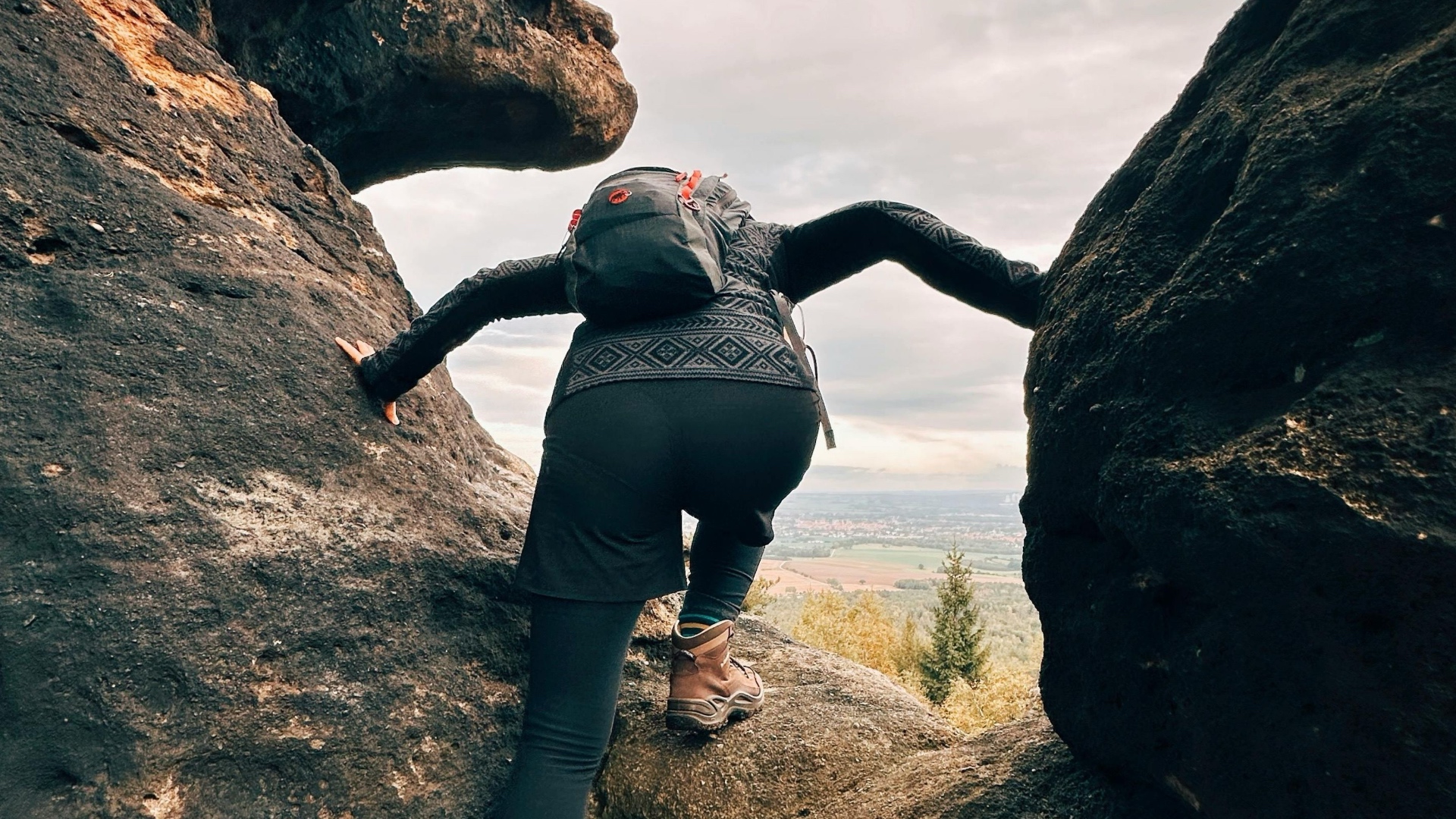
We recommend bringing a hand lens or magnifying glass, comfortable walking shoes or sturdy footwear, a camera, notebook and pen, and clothing appropriate for changing weather conditions.
The Geodiversity Education Foundation encourages responsible exploration: take pictures, not samples, and leave your rock hammer at home.
Safety
Stay on established sidewalks and paths wherever possible, obey pedestrian signals and remain aware of vehicles, cyclists and other surroundings. When observing outcrops or geological and environmental features near roads, remain as far from traffic as possible. Avoid climbing unstable rock faces or structures, and visit stops with at least one other person whenever practical.
Urban GeoWalks Rating Guide
Each Urban GeoWalk includes information about its approximate difficulty, duration and accessibility to help you choose an experience that is right for you.