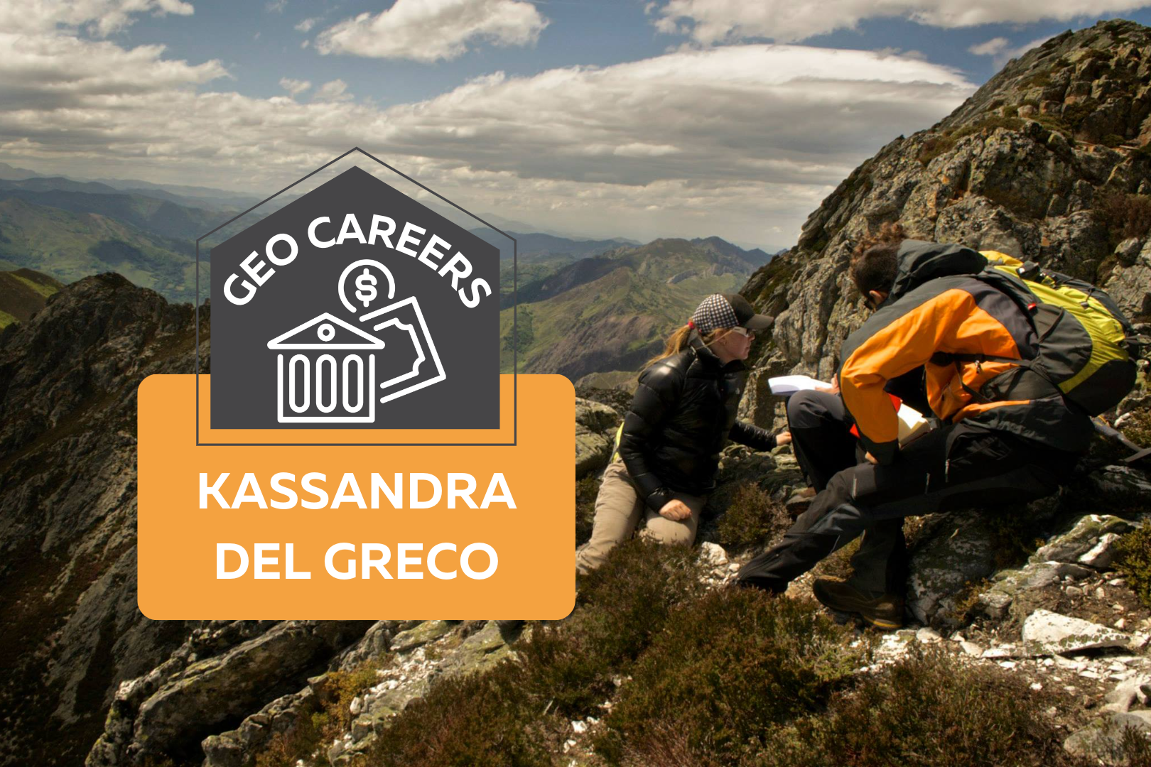
Photo of two people climbing a mountain range. On top of the photo text reads: "Geo Careers: Kassandra Del Greco."

GeoCareers: Kassandra Del Greco

When asked if I could write a little something about my career in geoscience, my gut response was, “I’m not sure I’m qualified to write something.” However, with a little reflection and persuasion, I thought it might be beneficial for others to read about how far an education in geosciences might actually take you. My initial interest in geology came out of my decision to take a “bird” course in CEGEP (Collège d’Enseignement General Et Professionnel), a type of junior college that encompasses the equivalent of grade 12 and the first year of university, to alleviate the heavy math and physics schedule I had lined up for one term. I signed up with a friend, thinking “Won’t it be nice to take a really easy class this semester” and soon found myself completely enthralled with learning about Earth’s history and systems. When university applications came around later that year, I began to consider that the career as a mathematician I had envisioned for myself didn’t quite make sense and I soon found myself wandering over to the geology, mining engineering, and geophysics booths at the McGill University open house. I was reminded during my visit to McGill that I knew two women who had graduated from McGill’s geology program. Two young women from my community, who I knew from extracurricular activities, had graduated with McGill geology degrees a few years prior and from what I could see on Facebook, were living adventure-filled lives working as exploration geologists in places like Australia and Africa. Growing up I had limited travel opportunities; it suddenly occurred to me that there are literally rocks all over the planet and that in theory, I could work anywhere in the world as a geologist, and with a career as a geologist, I might have the opportunity to visit places I’d never dreamed of before. What really sealed the deal was when I heard about the famous “Willy Trips” at McGill’s geology department, where Dr. Anthony Williams-Jones travelled to different destinations with a class of students every year to explore and learn about the geology of a new country. I was hooked. I went through university taking every opportunity to attend as many field trips as I could, and visited places like Chile, Tanzania, Columbia and the Southwest United States during my studies alone. I was so excited to begin my career as an exploration geologist and visit places like the remote Canadian North, Australia, Africa, South America…you name it. Everything was on track until 2012, the year I finally graduated. I entered the job market, top of my class, ready to begin working as an exploration geologist in mid-2012. Little did I know that 2012 would mark the beginning of one of the longest commodity and mining market downturns in history. It was difficult to find a job as an experienced geologist, let alone a freshly graduated geologist with just a summer’s worth of experience. I hustled as much as anyone, applying to literally any job I could find in the industry, but like many of the peers I graduated with, had no luck. It was disheartening, to say the least. After about 8 months of unemployment, I began looking at graduate studies opportunities. I thought that maybe I could either pursue a career in academia, or at the very least, hide out during a Masters degree and hope that within a couple of years the industry would turn and entry level jobs would begin to reappear. During my Masters degree at the University of Victoria I studied the structural geology and tectonics of the Cantabrian mountains in Northern Spain and was fortunate enough to spend a summer in Spain doing field work and attending conferences with geologists from the University of Salamanca. I finished my M.Sc. in mid-2016 and two hours after submitting my final thesis I was called by my first ever boss in the Quebec mining industry who I worked for a summer prospecting. He asked me if I was looking for work (I was) and told me about an opportunity for field work that summer (Holy cr*p, my plan worked!). I had my boots on the ground in Northern Quebec about two weeks later and was thrilled to, four years later, be starting my career as an exploration geologist. It was about 18 months of bliss, working multiple consecutive contracts in exploration for multiple gold exploration companies in Quebec. I was working on rotations that were 21 days on, 10 days off, or 14 days on, 14 days off. Of course, I took every opportunity to travel on my time off, living out of a duffle bag for months on end, visiting places like Portugal, Nicaragua, Costa Rica, and Italy. Essentially, I would go anywhere I could get to for a reasonable price and with less than 7 hours of flight time. However, it was about two years later when I started to feel the pains of the job. It turned out that as much as I loved learning about geology in school, I didn’t exactly love the work. I wasn’t totally enthused by core logging, learning to create geological models, or even spending time in the field. I was beginning to feel worn down by the swamps, the bugs, the heavy bags full of rocks, and spending whole days in the bush soaking wet. On top of this, I started to become acutely aware of the fact that I had no community. Over nearly two years, I had barely spent any time at home, causing me to feel disconnected from friends, unable to get involved in any type of club or activities at home, and forget dating, it was impossible! I began to reflect on whether this was the career for me. Sure, I loved learning about geology, and I loved travelling, but I didn’t really enjoy the work or the life I had built for myself anymore. I began searching for a mentor (I found a great one). I started writing
Read More »
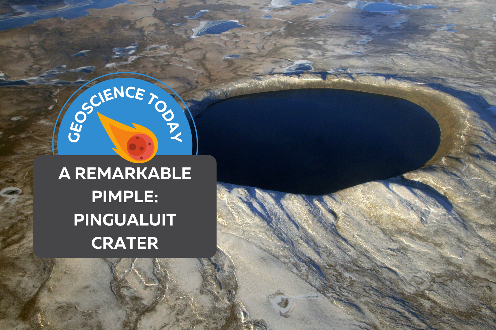
An aerial shot of Pingualuit crater filled with dark water. On top of the image text reads: "Geoscience Today. A Remarkable Pimple: Pingualuit Crater."

A Remarkable Pimple

Excerpted from The Last Speaker of Bear by Lawrence Millman published by Trinity University Press. For more information, please visit tupress.org. Reprinted courtesy of Trinity University Press. A meteorite 400 feet in diameter whisks through the atmosphere in a fiery flash. Traveling at 20 miles per second, it slams into the earth, sending boulder-sized rocks flying off in all directions as well as excavating a gaping hole in the earth’s crust. Some 1.4 million years later, I was seated in a Twin Otter aircraft flying over northern Quebec’s Nunavik region and looking out the window at the seemingly endless tundra. Suddenly I saw a perfectly circular blue eye — the meteorite’s crater filled with water. Formerly called Chubb Crater, it now bears the Inuit name Pingualuit, a word that simply means pimple. Being three miles wide, the crater is a rather large pimple. On landing near the crater, an Inuk named Yaakaa greeted me and showed me where I should pitch my tent. During my visit, I encountered a totally pristine habitat, with none of the broken-down ATVs, candy bar wrappers, or potato chip bags that litter so many other parts of the Canadian North. Apart from a few old Inuit fox traps, there was no evidence that my litter-minded species had spent any time here.   The day after my arrival, Yaakaa and I climbed up the slope cluttered with the granitic boulders that had been ejected by the meteorite’s original impact. Each of these boulders displayed a design created by lichens such as the cartographic Rhizocarpon geographicum and the bright orange Xanthoria elegans. After little more than an hour, we were standing at the crater’s rim, and I looked down at the huge circular lake that I’d seen from the air. The water was the bluest blue I’d ever seen. “We call this lake ‘The Crystal Eye of Nunavik,’” Yaakaa said, “and it may have the purest water of any lake in the world.”    We walked around the edge to a spot where the slope down to the lake was the least steep. As we hiked down, the quietude was interrupted by severaI loud maniacal laughs, followed by a sound similar to an explosion.    I wondered: Was the Crystal Eye looking at me, an outsider? Not at all. The inside of the crater was a giant amphitheater, and its walls amplified any sound inside it. What I heard was a couple of loons chortling at each other and diving for fish. The splashes from their dives were the explosions. When we reached the bottom, I cupped my hands in the lake, then raised them to my mouth. I tasted a rich, full flavour that made all the other water I’d ever tasted seem tacky as well as downright dull. As we were hiking back up to the rim, I could still hear the loons screaming wahoo! quarpp! wahoo wahoo! Since loons are among the very last birds to migrate south for the winter, they would probably be screaming in this fashion right up until the time the lake froze. When we reached the top of the crater, and before heading down the other side, I stared one last time at the remarkable blue eye that seemed to be staring directly at me. The Last Speaker of Bear © 2022 Lawrence Millman Author-explorer-mycologist Lawrence Millman is the author of 19 books, including such titles as Last Places, Northern Latitudes, Fungipedia, A Kayak Full of Ghosts, Hiking to Siberia, and — forthcoming — The Last Speaker of Bear. His compass invariably points North; he has made more than 35 trips and expeditions to the North, but he’s never been to Rome. As a mycologist, he found a fungus in 2006 that had been declared extinct in 1909. He keeps a post office box in Cambridge, MA, USA.

Read More »
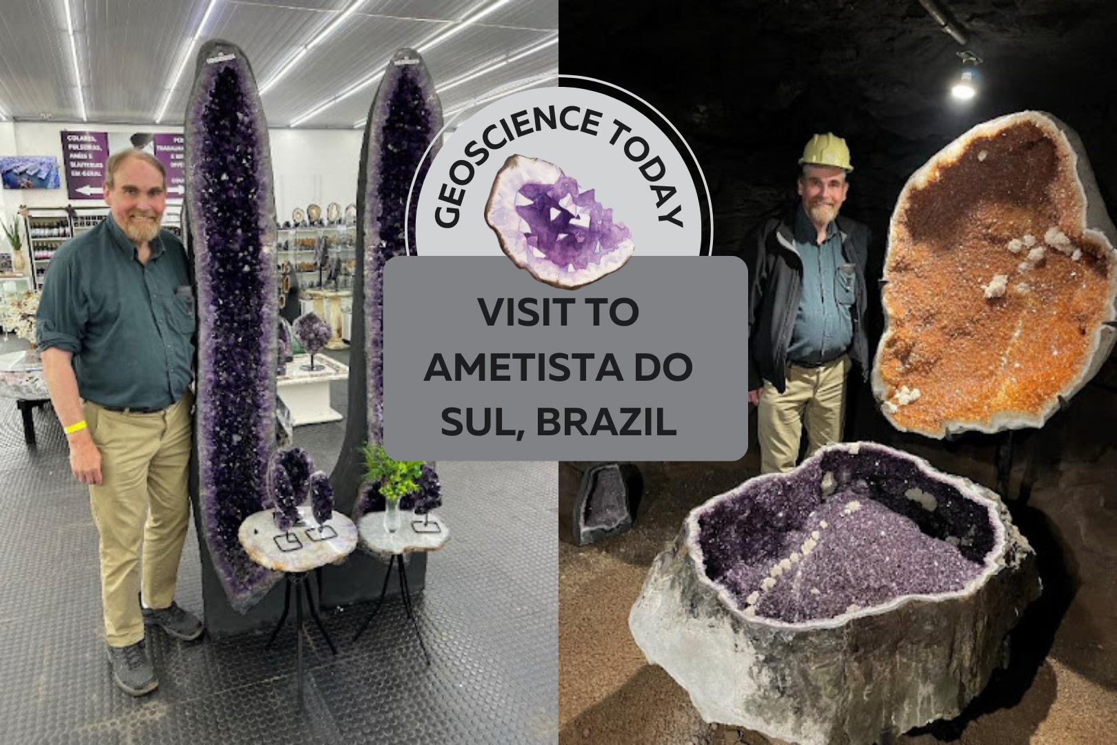
Two photos side by side showing a man standing beside large amethyst geodes. Text in front of the photos reads "Geoscience Today: Visit to Ametisto so Sul, Brazil"

Visit to Ametista do Sul, Brazil

Brazil has long been famous for its tremendous amethyst deposits. I recently checked off a major bucket list item by visiting Ametista do Sul, which is in the northern part of the state of Rio Grande do Sul in southwestern Brazil. This is the main area that produces Brazil’s famous amethyst geodes. Production is about 400 tonnes per month. These geodes occur in basaltic volcanic flows formed about 130 million years ago.   Typically, geodes form in a spherical cap-shape, sometimes elongated vertically. The outer layer of the geode is made of celadonite, a dark green mineral in the mica family. This outer layer is very useful to miners looking for geodes, as the dark green celadonite is easily recognizable. Under the celadonite there is a layer of agate (chalcedony), then colourless quartz, then finally amethystine quartz. At Ametista do Sul, the geodes occur in a 40 to 50m thick basaltic lava flow that formed in the Lower Cretaceous period. When the lava formed, there were especially large gas bubbles trapped in the rock. Water entered the empty spaces through fractures, over time forming the amethyst geodes. First stop was at the Belvedere mine, which has a terrific underground tour including a demonstration of drilling with an old jackleg and an actual blast. They use black power, which is a low impact explosive (gunpowder), to just gently break the rock around the geodes, which are then carefully excavated by hand using chisels. When a geode is located, the miners make a small hole in it and then put a light inside to evaluate the quality of the amethyst. The value of the geode increases the darker the purple and the larger the crystals. Sizes of geodes are very variable but can be up to as much as 3 metres long. The mine has a magnificent display of amethyst geodes in their underground gallery, which you can see in the accompanying photos. These geodes are enormous – up to about 2 metres long by 1 metre wide. Several are accompanied by very beautiful carvings in basalt. Several geodes of citrine are also on display. Geodes with low quality colour are typically heated to form yellow citrine. This converts ferrous iron to oxidized ferric iron causing the colour change. The majority of citrine is formed by heating amethyst as it rarely occurs naturally. In addition to its mine tour and extensive gallery, the mine also has an underground wine bar where you can sample wines made in the area and pick up a bottle or two (which I did). This is also a remarkable underground restaurant at the Belvedere Hotel.  Every table has an enormous geode in the middle of it covered by glass. You can also see some geodes in the wall of the mine and there are some fabulous geodes also on display. In addition, there is an underground pool and hot tub next to the restaurant for hotel guests to relax in. Clearly the hotel is doing very well as it has embarked on a major expansion to its facilities adding a series of cabins and a new major display area. After the marvellous mine tour and lunch, we then went into the centre of town to visit a huge rock and mineral store called LP Minerais (lpminerais.com.br) in downtown Ametista do Sul.  I have never seen so much amethyst, agate, rock carvings, etc, in one place.  It was spectacular.  The back room was filled with more amethyst geodes waiting to be sold and shipped.  I picked up some terrific samples to take home!  This was an absolutely amazing day!! Dr. Bill Pearson, P.Geo. has over 40 years of experience in the national and international mining industry and has carried out exploration and development programs in 17 countries around the world.  He is formerly Vice President, Exploration for Desert Sun Mining Corp. (prior to April 2006 takeover by Yamana Gold Inc.), Executive Vice President, Exploration for Central Sun (prior to April 2009 takeover by B2Gold Inc.) and is currently President & CEO of Coastal Gold Corp., a junior mining company whose principal project is in southwestern Newfoundland. Dr. Pearson is the recipient of the 2015 PDAC Distinguished Service Award for his service to Canada’s Mineral and Exploration Industry. He convened the first meeting of the Committee for the Professional Registration of Geoscientists of Ontario (CPRGO) in March 1989, which he chaired for seven years. He was President of the Association of Geoscientists of Ontario (AGO) from 1996 to 2000 and was the founding President of Professional Geoscientists Ontario (PGO) from 2000 to 2003. In addition to his work for the geoscience profession in Ontario, Dr. Pearson was instrumental in the formation of the Canadian Council of Professional Geoscientists (CCPG now Geoscientists Canada), where he served as one of CCPG’s founding directors.  He is founder and Chair of the APGO Education Foundation.

Read More »
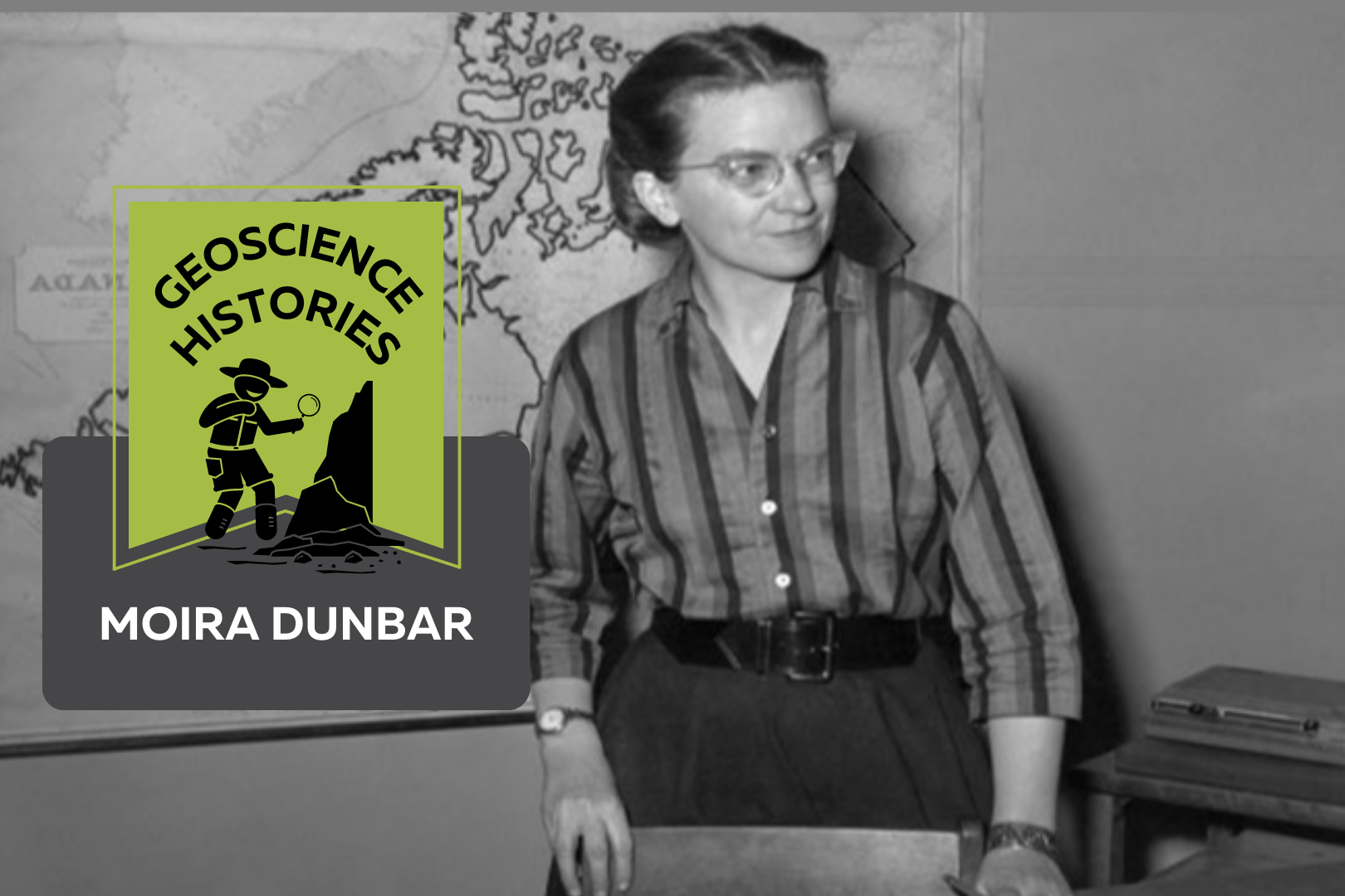
A black and white photograph of a young woman in a striped shirt with glasses. She is standing in front of a desk and there is a map of Canada on the wall behind her. On top of the photo text reads: "Geoscience Histories. Moira Dunbar."

Geoscience Histories: Moira Dunbar

Musician, geographer, actress, and sea ice researcher: Moira Dunbar was a legendary scientist. Born in Edinburgh, Scotland, Moira emigrated to Canada when she was 29 years old and started her career in sea-ice research working for the Government of Canada. She received many awards over her career for her important research and publications on Arctic ice.  Growing up, Moira’s family were academically-inclined. Her brother became a scientist and was made a Fellow of the Royal Society of Canada. Moira studied geography at Oxford University but when she graduated, she didn’t immediately go into research.  During the Second World War, Moira worked as an actress and a stage manager with the English Theatre. She toured Great Britain with the theatre and performed for the armed forces. “I was what is known as a character juvenile,” she said later, “which meant playing a long string of comic maids.” Despite her lacklustre acting career, she also was musically talented, playing the guitar and piano.  In 1947 Dunbar emigrated to Canada. Once there, she became aware that the Canadian government was looking for scientists. She got a job at the Joint Intelligence Bureau of Canada to research the movement of Arctic ice. This was important to the Canadian efforts during the Cold War, since the Canadian and American governments were afraid of nuclear attacks via the Arctic.  In 1952, Dunbar moved from the Intelligence Bureau to the Defense Research Board. Two years later she applied to join a Royal Canadian Navy icebreaker boat taking scientists to the Arctic for research. At this time, naval boats had never taken a woman aboard. Moira recalled that they “expected [her] to go around seducing all the men or something” (The Herald, 1999). She kept applying to go on icebreaker trips and for six months fought against her superiors to be given permission to go. Eventually her request reached the Deputy Minister, who decided that she was, in Moira’s words, “probably harmless.” She was finally allowed to go, but reflected that “they regarded me as some sort of cross between a delicate flower and a dangerous disease” (The Herald, 1999). Over time, however, she was accepted on the team and it was not raised as an issue again.  While on the icebreaker journeys, she analyzed sideways-looking radar in order to determine patterns in the movement of ice. She used photos of sea-ice taken at different times during the day and year to analyze ice conditions and determine the ice’s predicted position at different times of year.  In addition to time spent on icebreakers, she also joined Royal Canadian Air Force flights to study Arctic ice from the air. Dunbar spent nearly 600 hours flying over her career. She was one of the first people to observe and document an Arctic formation called a polynya. This occurs when strong winds flowing south combine with warm upwelling in the sea and melt or thin ice. She worked on standardizing ice terminology and wrote many papers on ice conditions in the Canadian Arctic. In 1956 she published Arctic Canada from the Air, written with Keith Greenaway. This book was a combination of aerial images and descriptions, and introduced many people to Arctic landscapes.  In her studies of Arctic ice, she became aware of the important research happening on the subject in Russia. She studied Russian and became certified as a linguist in Russian. She travelled to the Soviet Union and Finland in 1964 in order to learn from their ice-breaking operations.  In 1958 Dunbar wrote a particularly interesting article for Canadian Art about the Royal Arctic Theatre. Between 1819 and 1876, The Royal Arctic Theatre was a series of theatre productions put on by members of expedition trips to the Arctic during the long winters when the ships were stuck in the ice. Dunbar writes that “surely nowhere have plays been produced in more unlikely surroundings or in more difficult conditions than aboard the ships of British naval expeditions wintering in what is now the Canadian Arctic” (pg 110). Indeed, some of the plays were performed in less than 0 degrees Celsius on scarcely protected ship decks. There were no such equivalent theatre productions on Moira’s icebreaker trips, but being an actress herself, the Royal Arctic Theatre would have held a special appeal to Moira’s interests.  Throughout her career Dunbar received many distinctions for her work, including the Royal Canadian Geographical Society’s Massey Medal and the Centennial Award from the Canadian Meteorological Service. She also became a Fellow of the Royal Society of Canada and an Officer of the Order of Canada. She was a Governor of the Arctic Institute of North America and the Director of the Royal Canadian Geographical Society.  In 1978 Moira Dunbar retired to run a hobby farm and volunteer as a local historian in Ontario. She never married but enjoyed a long and diverse career. From growing up in Scotland, to acting for troops across Europe, to trailblazing on Canadian icebreakers, to flying alongside Air Force pilots over the Arctic; Dunbar’s career was filled with adventures and learning. Her impact in Arctic glaciology and sea-ice research is still felt today.  Sources and Further Reading: Moira’s Legacy of Land, Queen’s University Belfast Women in Geoscience Series, Irish Association for Women in Geosciences Moira Dunbar, The Canadian Encyclopedia Moira Isobel Dunbar, Science.ca Moira Dunbar, The Herald, 1999 A Selection of Moira’s Publications: High Latitude Navigation Flights, The Arctic Circular, pg 88-92, 1951 Ice Islands: Evidence from North Greenland, Arctic Institute of North America, 1953 Thrust Structures in Young Sea Ice, Journal of Glaciology, 1960 Veronica Klassen is the Manager of the Foundation’s blog – Beneath Your Feet: A Geoscience Blog. She studied Arts and Science at McMaster University with a minor in Earth Science and has a Master’s in Science Communication from Laurentian University. She is passionate about making science accessible and engaging to the public.

Read More »
Underwater photo of coral and plant life. Text on the photo reads: "Geoscience Today: Oasis in the deep sea: hydrothermal vents"

Oasis in the Deep Sea: Hydrothermal Vents

The deep sea is so different from other ecosystems on Earth, it’s almost like another planet! In fact, the deep sea is so isolated and mysterious that we know more about the Moon than we do about the ocean floor. Deep-sea hydrothermal vents, also called “black smokers,” are areas along the seafloor that discharge scalding hot water. They are located near areas of high tectonic activity and volcanic sites, commonly near mid-ocean ridges (MORs). These black smokers are important because they host a variety of exotic organisms, can help us to understand hydrothermal processes along mid-ocean ridges, and have economic importance.  In 1976, a series of temperature spikes were observed by scientists exploring a mid-ocean ridge near the Galapagos Rift. From this data, scientists discovered hydrothermal vents, along with new ecosystems and species within these vent systems. The vents were first observed through a seafloor imaging system, in which a camera is submerged in water to take photos of the observation target, and the images are used to create seafloor maps. The first direct observations occurred when a manned submersible, The Alvin, was used to observe and sample the vents and their ecosystems. There was great fascination with this discovery since up until this point scientists thought that life required sunlight to exist. But here there was a thriving ecosystem that found its own source of energy devoid of light. Black smokers are probably the last place you would expect to find life, since they spew toxic material and there is absolutely no light. These eerie vents, however, are home to complex ecosystems with a thriving community of biotic creatures. At the base of the food chain there are bacteria and Archaea, which produce energy through chemosynthesis. Chemosynthesis is a life-process where inorganic carbon is converted into carbohydrates using inorganic molecules. Chemosynthesis involves using energy released by inorganic chemical reactions to produce food. These inorganic reactions include inorganic compounds, such as hydrogen sulfide or hydrogen gas undergoing oxidation, acting as the energy source. Many kinds of chemosynthesis occur, as there are different kinds of bacteria that can oxidize substances varying from sulphur to methane, even iron, and manganese. This variety of bacteria form the base of a food chain that includes deep-sea clams, mussels, and giant tube worm species. These species live in symbiosis with the chemosynthetic bacteria and would not exist without this relationship. Viruses discovered in these environments interact with bacteria. Horizontal Gene Transfer (HGT) is a process in which a virus implants some of its DNA into a bacteria, reaping some of the bacteria’s DNA. Viruses have the power to alter the bacteria’s gene expression, giving the virus the unique ability to carry different kinds of genetic information, which is useful in such extreme environments. This allows the bacteria to survive in ever-changing environments. HGT occurs due to the number of bacteria and viruses suspended in these environments and is important to the species’ evolution. The type of vent, distance from the vent, and lifetime stage of the vent are all factors that dramatically change the temperature and mineral concentration of the region. For bacteria to survive, they need to be able to adapt relatively quickly to rapidly changing habitats. HGT allows the bacteria to survive in its new environment and produce versatile offspring.  The geosphere, hydrosphere, and biosphere are the three main Earth systems that interact with hydrothermal vents. Since there is no sunlight for life processes in hydrothermal vent ecosystems, the energy required by living organisms is gained from tectonic movement near the MORs. Water seeps into the ridges, is heated by magma, then mixes with minerals. Fine-grained sulphide minerals containing metals such as copper, zinc, lead, gold, and silver from the Earth’s crust are dissolved in high concentrations in hot hydrothermal fluids. When these metal sulphides are exposed to cold ocean water, they form black chimney-like sulphide deposits around each vent, hence the name black smoker. The water that is ejected contains methane and sulphides; substances required for chemosynthesis. The nature of chemosynthesis illustrates how intertwined Earth’s systems are; the removal of the biosphere would nullify the existence of such a fascinating ecosystem. Hydrothermal vents contain exotic ecosystems threatened by the prospect of deep-sea mining. Deep-sea mining is becoming a popular consideration for mineral exploitation as the popularity of land mining is rapidly diminishing land-based ore deposits. Mineral ore deposits are composed of fine-grained sulphide minerals containing metals. Although deep-sea mining may benefit the economy due to the abundance of ore deposits, there is controversy about destroying these ecosystems. Some argue that mining near black smoker active volcanic sites is reasonable because the volcanoes will erupt across many square metres of the seafloor, causing destruction in these sites. Environmental advantages for deep-sea mining, as opposed to land-mining, results in no waste rock, no acid mine drainage, and no holes in the ground that could contribute to seismic activity.  Deep-sea hydrothermal vents are vital to both marine ecosystems and mineral ore deposits for deep-sea mining. They contain ecosystems hosting many organisms using exotic life processes to create energy such as chemosynthesis, as well as hosting mineral ore deposits. These hydrothermal vent ecosystems are vital to the environment. Developing ecofriendly deep-sea mining technologies could be important for preserving deep-sea ecosystems.  Kathryn Cheng is an undergraduate student at the University of Toronto, pursuing a B.Sc in Geology and Chemistry. She has an interest in hydrothermal vent systems and isotope geochemistry. She is currently conducting research in the Metal Isotope and Isotope Biochemistry Lab at UofT investigating mercury contamination from artisanal small-scale gold mining in South America. Kathryn is the President of the Undergraduate Earth Sciences Association at UofT and the Women in Mining UofT student chapter.  

Read More »
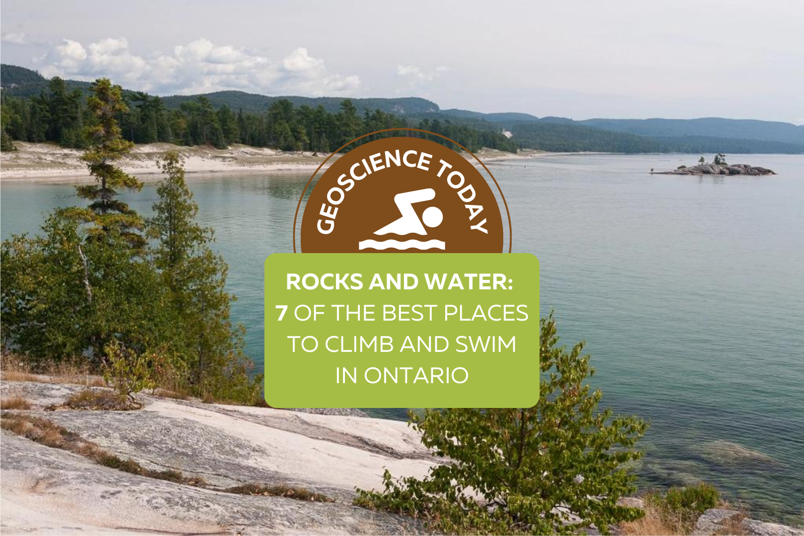
A landscape view of the coast of Lake Superior. Evergreen trees on light coloured rock are in the foreground, with the blue-green water in the background. In this distance Bathtub Island can be seen. Text overtop of the photo says: "Geoscience Today. Rocks and Water: 8 of the best places to climb and swim in Ontario"

Rocks and Water: 7 of the Best Places to Climb and Swim in Ontario

Want to enjoy the last few weeks of summer? Check out these gorgeous locations around Ontario for scenic swims, natural rock slides, turquoise water, limestone cliffs, old quarries, and more! Take our fun quiz to see where you should go to enjoy the natural landscape this summer. Learn a bit more about each of the locations: St. Mary’s Quarry: ​​St. Mary’s Quarry is a great place to swim on a hot day, but if you’re looking for more of an adventure, this old quarry also has cliff jumping, stand up paddle boarding, a volleyball court, and a massive waterpark. St. Mary’s was a limestone Quarry that closed in 1920 and has since been converted to an adventurous swimming hole. Elora Quarry, Elora: This old limestone quarry is surrounded by impressive cliffs with a large sandy beach and turquoise water. Although it can get pretty busy here on weekends, there’s a rock outcrop you can swim to if you’re having trouble finding a spot to sunbathe. While you’re in Elora, check out the nearby Elora Gorge, formed from the same limestone and dolomite that makes up the quarry. If you look closely at the cliffs, you might see some fossils hidden in the sedimentary rocks! These fossils are 350-450 million years old, from a time when Ontario was covered in a warm shallow sea. Lake Kelso, Kelso Conservation Area: Lake Kelso is actually a manmade lake built for flood control of Sixteen Mile Creek. The calm and clear water makes it the perfect place to spend an afternoon. Relax on the sandy beach or go for a walk along the boardwalk. If you don’t have your own boat, Kelso Conservation area also rents canoes, kayaks, paddle boards, and paddle boats.  Paradise Lagoon, near Wanapitei Provincial Park: Paradise Lagoon is a bit of a hike to get to, but the gorgeous blue water makes it so worth it. The lagoon is just outside of Wanapitei Provincial Park in Sudbury. The light blue water is surrounded by impressive quartzite and granite cliffs. The red quartzite that makes up this area as well as nearby Killarney Provincial Park creates a beautiful contrast with the emerald evergreen forest. Algonquin High Falls, Algonquin Provincial Park: Algonquin Provincial Park boasts many natural wonders, but one of my personal favourites is the natural water slide on the Barren River. Here you can slide down the smooth rocks under a foot or so of water into the swimming hole at the bottom. These granite rocks have been polished smooth by the continuous flow of water over time. To get to the falls you have to hike the High Falls Trail 4.5km to the chute. If you want to extend your stay, Algonquin Provincial Park has camping, canoeing, backpacking, hiking, and more.  Bathtub Island, Lake Superior Provincial Park: Have you ever seen a natural infinity pool? Lake Superior Provincial Park has one! This pool on Bathtub island looks like something you’d see in the tropics. To get there you can walk a short distance from Highway 17, or hike the Coastal Trail to the shore. After that you have to wade through the water (or take a small boat) to the island to find the natural pool in the rocks. The water is shallow and warmed by the sun, making it the perfect place to relax for an afternoon. If you want to extend your stay, Lake Superior Provincial Park has great campsites you can book. Crooked Slide Park: The biggest draw to Crooked Slide Park is the reconstruction of an original log chute used by loggers in the early 1900s! Take a step back into Canadian History as you learn about logging and the use of log chutes to avoid log jams. Although a bit remote, the small waterfall and shallow water makes for a picturesque scene that is well worth the drive. Veronica Klassen is the Manager of the Foundation’s blog – Beneath Your Feet: A Geoscience Blog. She studied Arts and Science at McMaster University with a minor in Earth Science and has a masters in Science Communication from Laurentian University. She is passionate about making science accessible and engaging to the public.

Read More »
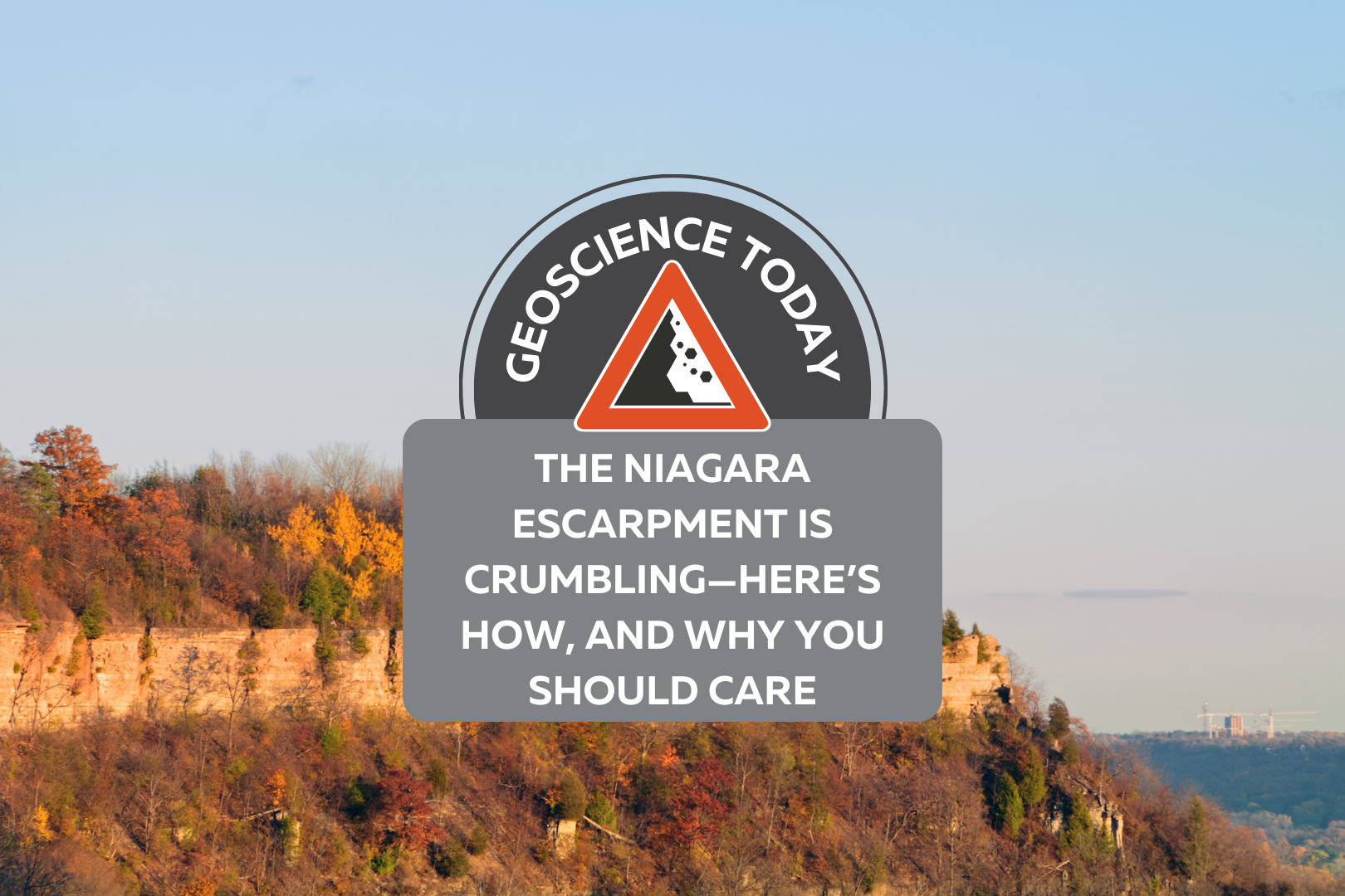
The Niagara Escarpment in the distance at sunset. The cliff is surrounded by autumn coloured trees. On top of the photo text reads: "Geoscience Today. The Niagara Escarpment is crumbling- here's how, and why you should care."

The Niagara Escarpment is Crumbling—Here’s How, and Why You Should Care

If you visit or live near a geological landform, such as an escarpment, waterfall, or hillslope, you may notice that rock debris accumulates over time. Patrons of the Niagara Escarpment’s Bruce Trail, for instance, can observe rock blocks ranging from the size of a cell phone to a small car. To a hiker, fallen rock may not seem concerning. Yet what happens when geology meets urban infrastructure? The Niagara Escarpment is a large sedimentary landform which spans 400km across the northeastern United States and southern Ontario. Composed of dolostones, limestones, sandstones, and shales from the Paleozoic Era, its face is steep and heavily fractured. Each stratum, or layer, of rock has a unique composition which dictates its susceptibility to erosion. For instance, thick, resistant layers of the Irondequoit dolostone are often undercut by the softer Rochester shale which erode at a faster rate. This produces sharp overhangs which create angular blocks when there is not enough rock to support the overlying material. The escarpment bisects a number of urban areas, such as Hamilton, Ontario, where it is integrated into city infrastructure. This poses significant risks because the fractured escarpment face experiences frequent rockfalls which threaten the safety of citizens and have caused considerable infrastructure damage. For many years, the reason for the rapid weathering rates observed on the escarpment was unknown. New research has revealed the role of temperature changes in the development of fractures. How is the Escarpment Weathered? There are a variety of processes responsible for the weathering of rock, such as be chemical, mechanical (e.g., cracking), fluvial (e.g., flowing water), or biological (e.g., tree roots) in nature. However, the escarpment’s location in a temperate climate is unique because it is subject to cold winters and warm summers. This means that temperature plays a significant role in freeing rock from the escarpment face. Freeze-thaw weathering describes processes which create fractures in rock by causing water contained within pores or pre-existing cracks to freeze and thaw over time. When water freezes, it expands. This forces apart a body of rock from the interior, often producing stresses which exceed the strength of the rock. Freeze-thaw processes can occur within individual pores saturated with water, or on larger scales where ice lenses accumulate in pre-existing cracks. During the winter months, this form of weathering produces debris ranging from small flakes to large angular blocks.  Thermal weathering is similar to freeze-thaw in that it involves fluctuations between warmer and cooler temperatures. Rock expands during warming and contracts during cooling, which causes the rock to deform throughout the day.  Over time, these temperature cycles can create enough stress to cause fractures to develop. This is referred to as thermal fatigue, because each fluctuation is not individually powerful enough to fracture the rock, but over time the stresses accumulate. Conversely, thermal shock describes events of rapid temperature change (which can range from 1°C to over 10°C per minute) that induce high stresses as the rock expands or cools. This can cause instantaneous cracking.  These weathering processes are not limited to geological landforms. Sidewalks, buildings, and even prehistoric rock art are all susceptible to temperature changes.  How is Weathering Studied? At McMaster University, our research group studies these processes from a variety of perspectives. My work implements a network of remote temperature probes installed at exposed rock outcrops across the escarpment. At each site, probes are inserted into pre-existing fractures and affixed to the rock surface to measure temperature at one-minute intervals. This reveals changes on short time scales which enables us to identify thermal shock events and freeze-thaw cycles. By collecting data year-round, the temperature probes also provide information about the seasonality of fracturing.  To assess the spatial distribution of weathering, an infrared thermal camera is employed which photographs differences in surface temperature across rock outcrops. Our group uses a rock trap (pictured below), to collect samples of falling rock generated by weathering processes. This is paired with drone-based 3D models which enable us to identify the rate of weathering and location in which blocks have fallen from the escarpment face.  My research also involves climate modelling to predict future changes in weathering intensity using a suite of regional climate models.  Climate Change Our research suggests that climate change may exacerbate weathering processes by increasing the range of temperatures experienced by rock throughout the day. In exposed rock faces, the surface warms rapidly in comparison to pre-existing fractures which are insulated from atmospheric conditions. This creates a thermal gradient between the fracture and rock surface—during the day, the surface is warmer than fractures, whereas at night the fractures are insulated from cooling and remain at higher temperatures than the surface.  As the climate warms, this effect will be exacerbated. Repeated warming and cooling will increase the gradient of temperature between the surface and fractures, promoting processes such as freeze-thaw and thermal weathering which are predicated on thermal cyclicity.  Shifts in the amount of precipitation may also play a role. In areas where climate change will bring increased rain and snowfall, moisture conditions will raise the likelihood for freeze-thaw expansion in rock. This further raises the likelihood for fractures to grow. Why Should I Care? The Niagara Escarpment is well integrated into urban infrastructure. Rapid rates of weathering and the location of exposed rock walls poses significant safety risks to commuters and pedestrians alike.  The portion of the escarpment which passes through the city of Hamilton, Ontario is a pertinent example. Between 2007 and 2017, there were nearly 40 damage claims from falling rocks, and eight major rock falls over a two-year span each incurring $25,000–$500,000 in costs. While the city spends $300,000 annually to update preventative erosion measures, research suggests that numerous areas remain susceptible to rockfall and require $12 million in protective measures. Commuters along the Niagara Escarpment routinely experience rock hazards, such as a 2016 event in which a truck-sized boulder nearly struck cars along the 403 Highway.  These issues are not unique to the Niagara Escarpment alone—geological landforms in all temperate environments

Read More »
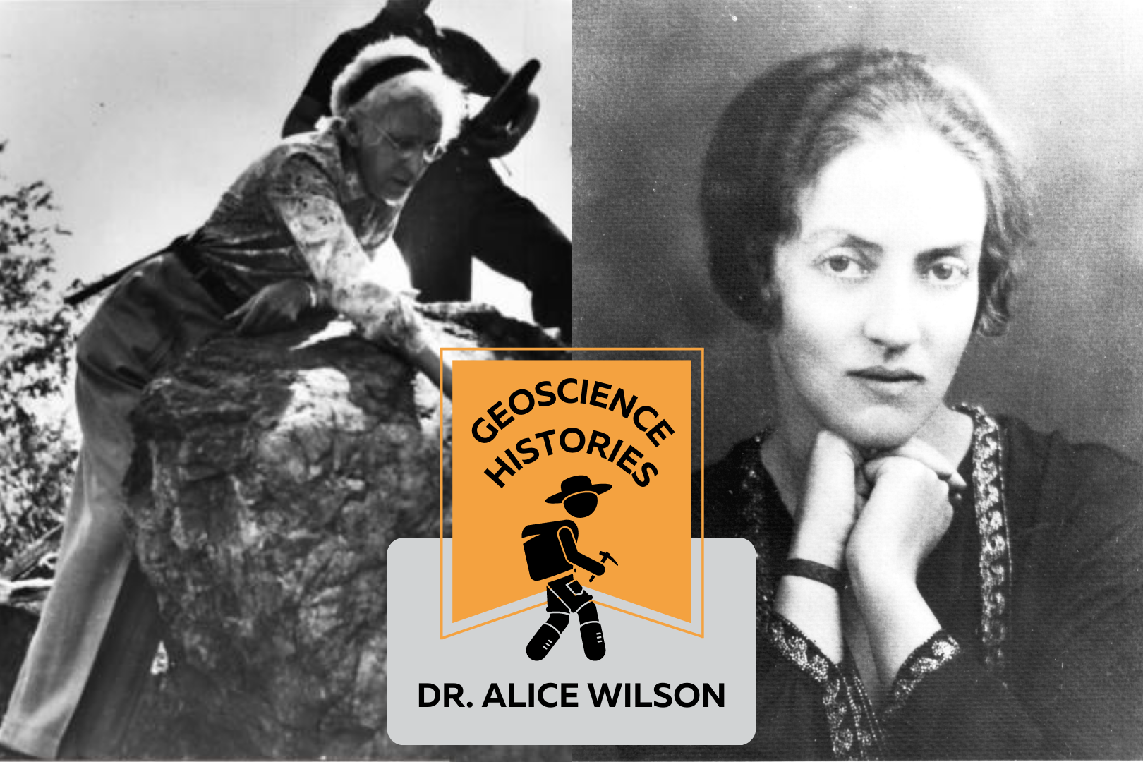
Two black and white images of Alice Wilson side by side. The left image is of Alice bending over a boulder. The right image is a headshot of a young Alice looking at the camera. Over the photos text reads: "Geoscience Histories: Dr. Alice Wilson"

Geoscience Histories: Dr. Alice Wilson

Dr. Alice Wilson, born August 1881, was one of Canada’s first female geologists, and the first female to be hired to work as a geologist at the Geological Survey of Canada. She persevered in the face of many personal and career-related challenges and paved a new path for women in geology in Canada. Alice Wilson grew up in a family that respected and encouraged education and exploration. She spent many summers canoeing, kayaking, and exploring the land and water around her family’s cottage in Ontario. Her father was a professor of Classics at the University of Toronto and both her brothers received PhD’s in their respective fields. When Alice was 20, she decided to study Classics at Victoria College in Toronto, with the goal of becoming a teacher. It’s unclear whether Alice actually wanted to pursue teaching or whether she did this because it was expected of her at the time. According to her friend Winston Sinclair, Alice said that in her youth teaching was the only acceptable field for a young lady. Perhaps this is why she decided to become a teacher. Her career path took a twist in her last year of university when she became very ill with anemia. She was unable to complete her courses and dropped out of school. After a few years in recovery, she started working in 1907 as a clerk at the University of Toronto. She had collected fossils as a child from the Cobourg Limestones near her home and was already passionate about palaeontology. In 1909 she became a museum assistant in the palaeontology department of the Geological Survey of Canada (GSC). In 1911, she finished her degree in Classics and was hired full time at the GSC. During this time, she connected with Percy Raymond who was the Chief Palaeontologist at the GSC. Her knowledge of languages came in handy when Percy needed her to translate a textbook of palaeontology from German to English. Percy connected with Alice and encouraged her to take a leave from the GSC in order to pursue a doctorate degree. Alice applied to take a paid leave in 1915 but she was rejected, despite the fact that other male geologists who applied for the same leave were granted it. Meadowcroft wrote that Alice believed her rejection was based solely on her gender, since the “fundamental reason [for rejection] has been that it would make a woman eligible for the highest positions in the Survey” (Meadowcroft, 1990, p. 208).  While she continued to apply for approval, Alice and Percy published an article on a new species of brachiopod. Unfortunately, when Percy left the GSC, Wilson’s other colleagues were not as eager to include her in their publications, and she was forced to work alone. In 1916, she paid for her own trip to Cold Spring Harbor, Long Island, NY to study comparative anatomy and marine biology for six weeks. When she returned to Canada in 1916, Wilson decided to help in the war effort for World War I. She joined the Canadian Women’s Army Corps (CWAC), an all-female military unit providing aid to the Canadian troops as decoders, drivers, cooks, stenographers, telephone operators and many other positions. The CWAC’s wore uniforms with a badge of three joined maple leaves, and on the collar of every uniform was an image of the helmeted head of Athene– the Goddess of War. As a willing volunteer for the CWAC, it is clear that Wilson didn’t shy away from danger or hard work. Women in the Canadian Women’s Army Corps were often subjected to disdain and discrimination from the Canadian public. General sentiment at the time was that women should be in the home, not in the army, and many people thought that women who joined the CWAC were of low moral standing. Wilson likely had to deal with some of this discrimination while serving with the CWAC.  Once the war was over, Alice Wilson returned to her position at the Geological Survey of Canada and continued to apply for leave to pursue further education. In 1926, she was awarded a scholarship by the Canadian Federation of University Women (CFUW) to fund her education leave. But even with the scholarship, the GSC still denied her leave. The CFUW lobbied for Alice, protesting her denied leave and demanding the GSC let her finish her education. The GSC finally relented and Wilson left to get her doctorate in geology at the University of Chicago. It had taken more than 10 years, but finally she received the education that she wanted.  When she returned to the Geological Survey of Canada, she was required to switch her area of research from Ordovician to Devonian rocks, due to the demand for petroleum in Western Canada. It was the Great Depression, and any research that could help Canada’s economy was prioritized. During this time, Dr. Wilson was responsible for ordering the National Type Collection of fossils, which is still an internationally recognized collection for fossil specimens. As she got older, Alice’s research started gaining recognition. She was the first woman to be elected as a Fellow at the Royal Society of Canada and the second woman to be a Fellow at the Royal Canadian Geographical Society. She received many other notable achievements, one of which was the Order of the British Empire (MBE) in 1935. The GSC, becoming more aware of Wilson’s achievements, promoted her to Assistant Geologist after she received the MBE. This designation should have been automatically given when she received her PhD 7 years earlier. But this wasn’t what Wilson wanted. She requested to be upgraded to Associate Palaeontologist, a title that she was never awarded throughout her career. Additionally, it wasn’t until 1945– nearly 16 years after she received her PhD– that her colleagues finally started referring to her as “Doctor”. During her time at the GSC, it would have been considered very indecent for a woman to join men on field work. So, she did her research by foot and

Read More »
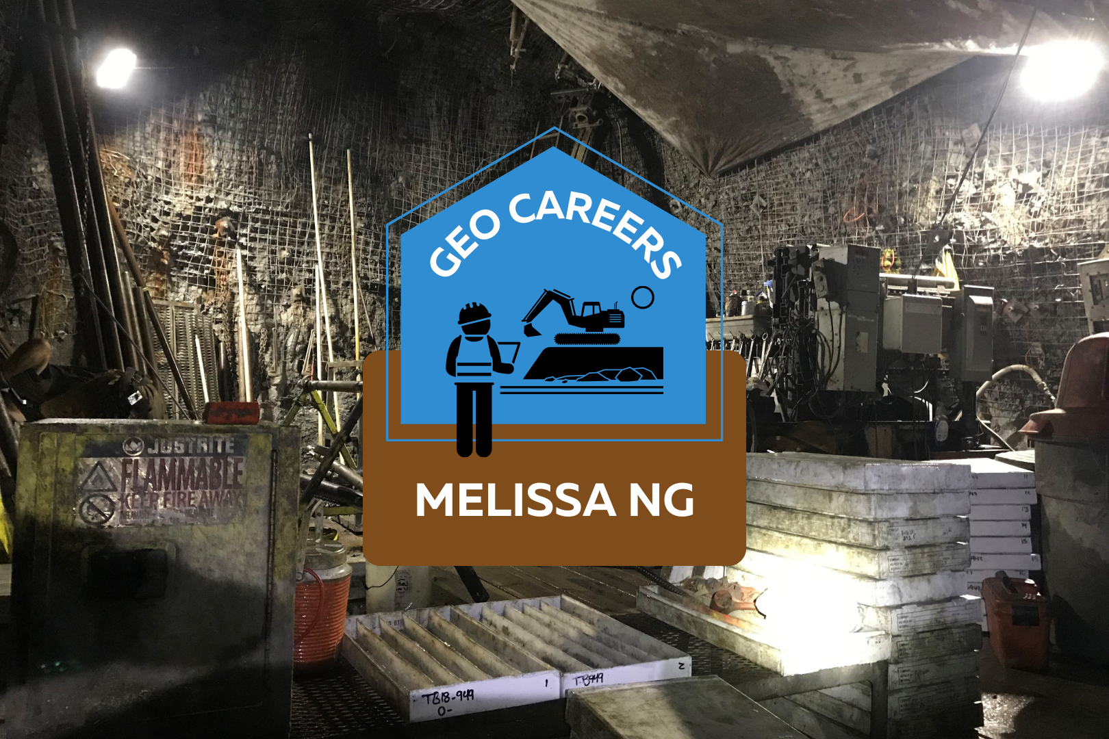
Underground photo of a mine site. Tools and various machines sit in front of a wall covered in wire. Text on top of the photo says: Geo Careers Melissa Ng.

Geo Careers: Melissa Ng

One question that I often am asked is, “How did you pick mining as an industry?” That answer is simple: De Beers commissioned a raw diamond exhibit at the University of Alberta where I attended school. This was my first introduction to mining and the idea and complexity around mining, which I found fascinating and challenging. The second question I always get asked is: “How did you get to where you are now?” That answer is a little more complex. We all take different journeys in life and career. Some experiences are within our control, and some are not. People always joke: “If I knew what I knew now, things would be different.” But there is no journey, no growth, and no success without those experiences. They are unique to us and mold us in the unique individual we are. So, to me, the real question should be “How has your experience specific to your career helped you to get to where you are now?” I began my first job search after graduation with enthusiasm, looking for the job opportunity that would launch my career. At the time, the market was hot with international opportunities, as well as Canadian prospects, which meant that I could be picky about the opportunities I pursued. I knew from my summer jobs doing exploration work in the Northwest Territories that I wanted a fly-in fly-out position at an operation and not field exploration work. My husband and I were married in 2007, right after my graduation, so choosing a fly-in fly-out role was a lifestyle choice we were making so that we could stay in Edmonton. My parents were born and raised in Saskatoon, SK so I knew about Cameco Corporation, the uranium producer centered in Saskatchewan. I was excited to have an interview with them. Even during the interview, being able to talk about structurally driven deposits was thrilling. I felt good after the interview, and therefore, was disappointed when I later received a call that hiring had been frozen due to unknown circumstances. Lucky for Cameco, I was so picky during my job search that I had only applied to one other company at the time. In January 2008, I received a call asking if I was still interested and if I could start next week. I didn’t even own a pair of steel toe boots yet, so I couldn’t start the following week, but I was thrilled that I did not have to endure a second round of interviews. The first time I flew into Rabbit Lake operation, which is situated at the edge of the Athabasca Basin in Northern Saskatchewan, I felt what I would describe as contained excitement. Contained because I didn’t want to make it obvious how “green” I really was. In other words, I did not want to stand out or get noticed. Which is very hard to do when you are a woman in a male-dominated industry, and in particular, a young woman in a male-dominated industry. I stuck out like a sore thumb, despite my cargo pants and winter coat. I was fresh meat, and everyone wanted to get to know the new girl. Throughout my career, I have heard stories of women who feel like they made the wrong career choice and have left the industry. When I hear this, I reflect back to those first few days at Cameco. My first room at camp was not my permanent room and there was a nasty draft from the window blowing over my head. I remember wearing my toque and not being able to fall asleep, wondering what I had gotten myself into. After a few days, I moved rooms and, luckily, there was no draft in the second room. I remember sitting around the lunch table with the geologists and engineers and hearing the story about why my hiring was delayed. There was an open historical drilled lake hole that intersected a stope (a stope is a term in mining for dugout space that contains your ore that is to be mined). It was marked as cemented, but after the blast, water started pouring into the mine – a sign you never want to see underground. But the tale was dramatic and heroic, and through teamwork the workers were able to control the situation and mitigate the water. The epic conclusion of the story involved a geologist shoving a piece of PVC pipe into the hole on the shallow lake bottom. I know we all exaggerate our stories, but at that point, I knew this was my crew and this was where I belonged. This was 2008 and when the financial crisis hit hard I was fortunate to be at Cameco. Many of my colleagues from school found themselves without work whereas Cameco sold its product with contracts with locked-in pricing, which meant that Cameco was stable. And so was my career. That geologist who starred in the epic conclusion of the story with the PVC pipe was Dennis Merber, who was also my first mentor in the industry. Once he became the Chief Geologist at Cameco, I learned a lot from him. He gave us the flexibility to make the position our own. He recognized that you need to incorporate fun at work if you want to improve efficiency. He also encouraged sharing of job tasks, which is the primary reason why I was not just exclusively logging core at the start my career. His job as a leader was to take care of the wellbeing of his people and sometimes that was as simple as a break with a little bit of fun. His leadership tactic stayed with me my entire career and I have used it many times, even sometimes when I had to defend my decision to add fun to the work cycle. I stayed with Cameco for 8 years because of the people. I built many great relationships over that time, relationships that I keep to this day.

Read More »
Two photos of Niagara Falls. The one on the left is grey and cloudy. The one on the right is bright and sunny. In front of the photos text reads: "Geoscience Today. GeoscienceINFO celebrates five years of serving the public."

GeoscienceINFO Celebrates Five Years of Serving the Public

The APGO Education Foundation is thrilled to celebrate five wonderful years of sharing our favourite subject with you – geoscience — via GeoscienceINFO.com. The Foundation itself was created in October 2014 as a charitable foundation with two main goals in mind: to help people in their journey in becoming geoscientists, and to provide accurate, reliable, and up-to-date information about geoscience to the public. We began our mission to help inform the public about geoscience by creating our website GeoscienceINFO.com on June 8, 2017. In the beginning, we had two main features we wanted to share with the public: geology-based virtual field trips of locations across Ontario, and short-but-informative Geovideos that explain geoscientific concepts and processes. To provide the highest-quality information to the public, we knew we couldn’t rush things. We started with one virtual field trip, one Geovideo, and a whole lot of enthusiasm! Virtual Field Trips The first virtual field trip released on GeoscienceINFO.com was of the Niagara area in southwestern Ontario, and this virtual field trip continues to be popular today. We were so excited to bring this field trip you the public that we first visited the Niagara peninsula in January to take photos! Needless to say, many of these photos were eventually replaced once the ice thawed and the trees started to bloom. Using Google Earth, seven stops in the Niagara peninsula were chosen for their geological relevance. Each stop has a detailed description of the geological history and relevance of that location. Because we know that learning is a highly visual process, we wanted to include as many photos of each stop as possible. This is why we have a well-stocked section at each stop of photos of the outcrop from as many angles as possible. In addition, we have a section of hand samples to give you a look at what the rocks and minerals are like close-up. Since 2017, we have continued to add more virtual field trips from locations all over Ontario. As of June 2022, we now have 17 virtual field trips available to the public, ranging from Thunder Bay to Ottawa. To better serve our public, we upgraded our platform in 2021 to the latest ArcGIS-based software offered by ESRI. This means our maps are quick to load, easy to navigate, and are supplemented by many high-quality and fast downloading photos. Geovideos In November 2017 we released our first Geovideo entitled “Where Does My Water Come From?” This two-and-a-half-minute video explains from where most people in Ontario receive their drinking water. Did you know that half of people in Ontario get their water from surface water bodies such as the Great Lakes? Knowing that piquing people’s interest is best for active learning and retaining facts, we wanted the Geovideos we released to be relatively short, accurate, and full of interesting facts like this that people can think about long after the Geovideo is over. Since 2017, we have released a number of Geovideos that explain geological processes and concepts. Our Geovideo “How Do Volcanoes Form?”, released in 2018, is our most popular video to-date with over 115,000 views! In 2020 we released a six-part series of Geovideos as part of our “Why Geoscience is Important” spotlight. From metal and mineral exploration to remediating disturbed lands, geoscience is associated with a broad range of activities and processes. As the world moves toward renewable energy sources, mining will continue to play a vital role as we need minerals such as copper, silicon, and silver to construct solar panels to harvest the Sun’s energy. Our Geovideos highlight the continuing importance of geoscience and answer commonly asked questions about various subject matter. Story Maps Our virtual field trips are set up like the university geology field trips that professors and students go on to learn more about geoscience. It’s important to us that everyone can experience this type of learning atmosphere. As such, they do have some limitations. Although our virtual field trips are full of information and photos, we wanted to give people more in order to truly immerse them in the area about which they are learning. ESRI’s new Story Map platform was the perfect way for us to do that. In November 2021, we released the first Story Map, of the Arkona area, at the Geological Association of Canada/Mineralogical Association of Canada (GAC MAC) conference in London, Ontario. In addition to the Arkona virtual field trip, presented in a new format, this Story Map provides a very detailed geological history of the region, and more paleontological environmental information, supplemented with a broad range of media types. Video segments of interviews with professors and local experts, drone footage, 360-degree photos, animations, 3D LiDAR imaging, and unique graphics are all included to provide a multi-faceted learning experience. Audio is also provided for all text, to augment accessibility options for the reader. We are so excited to be able to offer both options to learn about an area: our traditional virtual field trip, and our detailed Story Map. We will be creating Story Maps that will accompany all our virtual field trips, so be sure to look for these in the future! Beneath Your Feet: A Geoscience Blog One of our latest releases is the launch of our blog, Beneath Your Feet: A Geoscience Blog. We weren’t joking around when we decided to release a blog! Veronica Klassen, who has completed an M.Sc. in Science Communications, joined our team in 2021 to oversee the production, launch, and organization of our new blog. Because geoscience (like all science) is a dynamic field that is constantly growing, learning, and expanding, it’s important that we let the public know about the latest research. We publish articles bi-weekly, and articles are written by either our staff or by guest writers who are experts in their field. We feature columns by geoscience professors, students studying geoscience, licensed Professional Geoscientists (P.Geo.s), and local experts. If you’re practicing or studying geoscience and have something you’d like to communicate with the

Read More »