A hiker stands on the top of an outcrop looking over a distant mountain scene. Text reads: "Beneath Your Feet. A geoscience podcast."

PODCAST EPISODE 2: Stories, Science and Society: Reframing Geoscience Communication with P.Geo. Paul Hubley

Join podcast host Veronica Klassen and guest Professional Geoscientist and CEO of Geoscientists Canada Paul Hubley in this discussion of geoscience communication and the future of geoscience. Hear from Paul on his career, life advice, and how we can start to create a more accurate perception of geoscience in society. Join us in discussing how Earth Science can help us wrestle with the big issues of our time, and the importance of relationship building, storytelling, and listening in addressing these issues. Episode Audio: You can also listen to our podcast on these platforms: Episode Transcript: Veronica Klassen Hello, everyone. Welcome to Beneath Your Feet, a geoscience podcast. I’m Veronica Klassen, science communicator, geology enthusiast and your host. Here at the APGO Education Foundation, our mission is to spark curiosity and passion for the geology of Ontario. Whether you’re a geology nerd, science enthusiast, or nature lover, this podcast is for you. Join us as we geek out over fascinating geology, uncover the hidden stories and secrets of our extraordinary planet, and explore the captivating world beneath your feet. Today I’m meeting with Paul Hubley, and we’re going to be talking a little bit about his career, we’re going to be talking about advice for students, the perception of geoscience in society and some other really cool things. So yeah, if you want to just do like a quick introduction to yourself, that would be great. Paul Hubley, P. Geo Fantastic. Thank you very much. Thanks for inviting me here today, I’m excited to be here. So, Paul Hubley, I’m a male in my in my 50s, born in Halifax, living with my wife, Caroline, and on any given day, between two and three of our five kids are living with us as. We also have a little chihuahua. And I’m a professional geoscientist. Before we go further, geoscience is a regulated profession, just like engineering. So I’m a P. Geo. I’ve been in environmental consulting for 35 years, and the vehicle that brought me there is an education in Earth Sciences. I’ve got a Bachelors of Science with Honours in Geological Sciences from Brock University and a Master’s of Science in Earth Science from the University of Waterloo. That was way back when, in 1995 before the turn of the century, turn of the millennium. Other than being a father and geoscientist, I’m a self described serial volunteer. Just to pick up skills and contribute in ways that work didn’t bring bring to me. I like to landscape and build things outside, as long as it doesn’t have to be too fancy, then count me in. I’m a measure once, cut twice, kind of person. So I like to dabble. And I found out recently I like to do some creative writing, so I’m a bit of a groundskeeper as well. Veronica Yeah. And you’ve been doing some creative writing for our blog, which has been very fun. So you can check out those articles on our website.  Paul Yeah, it’s more of a dabbler. So the groundskeeper is the landscaping and the creative writing is a bit of a dabbler. So yeah, I hope that people do check it out. Veronica Yeah. Yeah, for sure. All right. Thanks so much. Yeah. So tell us a little bit about how you first got interested in geoscience. Like what drew you to geology? Paul Well, I had always been drawn to the ocean. Being born in Halifax and going to Nova Scotia almost every year and summer, the ocean was just part of my life. And somewhere around grade 10 or 11, I was convinced that I wanted to be in the Coast Guard. It would take me to the East Coast that I loved, keep me on the water for my entire life. That’s what I was thinking and I thought I’d like to push myself, I like to travel, all those things. And for some reason I just got the feeling that that particular thing was going to be too limiting. And also the 1980s were the time of deep sea exploration. Jacques Cousteau was sending submarines down to deep sea vents and they were finding these black smokers in the bottom of the Mariana Trench and things like that. And I just thought, this is amazing stuff. So then I switched from the Coast Guard to wanting to be a marine biologist. I was absolutely convinced I was going to be a marine biologist until I took a Grade 13 biology class and felt it wasn’t connecting. It was just a lot of memorization and just technical terms I just wasn’t connecting with. And I also had the opportunity to take a geology class in high school, which is pretty rare. That was inspiring. So, at the same time, the biology bubble was deflating and the geology bubble was inflating. And I thought, wow, I decided that I really wanted to work on environmental issues. And this could be a vehicle to do it. And it is. It has been. And I never looked back. I don’t know where I got it in my head. I thought it was my idea and nobody else had this idea, but apparently I was wrong. There was a whole industry that was building up at the time, so I probably picked it up somewhere else, but I took it on as my own. Veronica That’s awesome. Yeah. So you’ve been on quite a journey. What’s your best piece of advice for young students and how how can they figure out, kind of, what they are interested in, what they want to do? Paul Yeah, ultimately the journey was convoluted and it was difficult and there’s a lot of choices and that can be difficult for people. I guess I could say a couple of things here. One is that what you choose, if you’re lucky enough to feel, it feels right like I was, then go for it, do it.
Read More »
A hiker stands on the top of an outcrop looking over a distant mountain scene. Text reads: "Beneath Your Feet. A geoscience podcast."

PODCAST EPISODE 1: Devonian Discoveries: Fossils at Wainfleet Wetlands with Paleontologist Dr. Daniel Dick

Join podcast host Veronica Klassen and guest paleontologist Dr. Daniel Dick as we delve into the creation of a GeoHike at Wainfleet Wetlands. Discover the unique ecosystem of the middle Devonian period through an array of fascinating features: encounter colonial organisms, massive corals, glacial striations, and pop-up structures. We’ll discuss potentially undiscovered fossils, augmented reality animations to bring fossilized animals to life, and what counting layers on rugose corals can tell us about the speed of the Earth’s rotation in the Devonian. Episode Audio: You can also listen to our podcast on these platforms: Episode Transcript: Dr. Daniel Dick (Dan) It looks like an ecosystem where the water was just drained out of it. It feels alive and it will really help you understand just how different the world used to be. I think that is the main thing that makes paleontology interesting. It just shows you that the world has changed so much, and it will blow your mind. [musical interlude] Veronica Klassen Hello, everyone. Welcome to Beneath Your Feet, a geoscience podcast. I’m Veronica Klassen, science communicator, geology enthusiast and your host. Here at the APGO Education Foundation, our mission is to spark curiosity and passion for the geology of Ontario. Whether you’re a geology nerd, science enthusiast, or nature lover, this podcast is for you. Join us as we geek out over fascinating geology, uncover the hidden stories and secrets of our extraordinary planet, and explore the captivating world beneath your feet. [musical interlude] Veronica All right, let’s get started. Today, I’m going to be talking to Daniel Dick, who is a researcher at McMaster University. Daniel, why don’t you start by telling us a bit about yourself? Dan Yeah, I mean, you covered quite a bit there. I’m Dan. I’m a postdoc at McMaster, primarily working on this public outreach project that we’ve been developing over the last few years. Which, in conjunction with the APGO Education Foundation, is developing this website, GeoscienceINFO, and primarily we are working on the GeoHikes. Research-wise, I’m a paleontologist. I focus primarily on fossils. I work on mass extinction events and trying to understand the dynamics of them, with the end goal of hopefully applying some of the knowledge we might learn from past extinction events to help us understand contemporary extinction dynamics and areas of risk and things like this. Yeah, so, my research sort of takes me all over. It’s primarily focused on Ordovician-Silurian fossils. So that’s a lot of stuff that we find here in Ontario, but also in other parts of Canada and the United States and such. Veronica Amazing. So how did you originally get interested in geoscience? Like, what led you here? Dan I’ve definitely been interested in it for a very long time. I have photos as a kid at the Royal Tyrrell Museum staring at the fossils, and you can sort of see that it’s already something I’m obsessed with at that point. But the beginning of the journey, I think, was in high school because my high school actually had Earth science courses up to grade 12 in B.C., where that’s sort of more standard. And I’d kind of forgotten how much I like geoscience, I think until those late courses. And it reminded me, oh yeah, I forgot that this was a thing. And that was something that I enjoyed and was good at as well, which helped. Veronica So, it was kind of high school, then you decided to study it in university. Did you go straight into geoscience? Dan Yeah, I didn’t actually go straight into it. I went into evolutionary anthropology, so I was focused more on human evolution and human fossils and things like that. But then found myself realizing that the questions and things I was more interested in could more easily be answered by working with non-human fossils, because you need large numbers of things, so you need lots of fossils in order to start to understand things like extinction dynamics and climate change and all that kind of stuff. And so, I switched over to more standard and invertebrate paleontology at that point for my Ph.D., which then looked at those kinds of questions. Veronica So, when you say those kinds of questions, you’re talking about extinction events and how we can learn from that? Is what you mean? Dan Yeah, absolutely. Yeah. Veronica Yeah, for sure. And just for a little bit more context do you want to explain kind of like what the GeoHikes are, what’s like the purpose of the GeoHikes? Dan For sure. So basically, like the GeoHikes are kind of a, they’re sort of a freely accessible trail guide in a literal sense, that’s what they are. They take you along an existing hiking trail that has some sort of geologically interesting features on it, and there’ll be a series of stops which will take you to these different features and will describe for a general audience what’s going on geologically. Occasionally we do other things beyond geology. We also look at ecology, for example, talk about invasive species or we’ll find fossils on some of the hikes, and we’ll talk about ancient ecosystems or mass extinctions or whatever it is we’re doing. And my personal vision for them, is I see them sort of as a living first year Earth science lecture. They’re simple in the sense that they should be understood by anyone. But instead of having a textbook figure or something explaining the process of erosion or soil formation or something, you go to a physical location where this is all on display. And so, the figure that you would normally look at in a textbook is now there in front of you in real life and offers an opportunity to learn this. Ideally, the way I see it is if you do enough of these GeoHikes, you will get all the basic information you would need to understand, you know, the sophistication of

Read More »
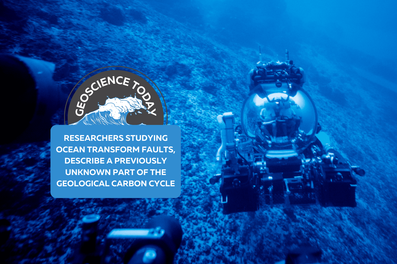
Submarine in the ocean. Text reads: "Geoscience Today: Researchers Studying Ocean Transform Faults, Describe a Previously Unknown Part of the Geological Carbon Cycle"

Researchers Studying Ocean Transform Faults, Describe a Previously Unknown Part of the Geological Carbon Cycle

Chief Scientist Frieder Klein and Deep Rover Pilot Alan Scot exploring a submerged carbonate platform. (Photo by: Novus Select) Woods Hole, Mass. Republished with permission. Original article here. Studying a rock is like reading a book. The rock has a story to tell, says Frieder Klein, an associate scientist in the Marine Chemistry & Geochemistry Department at the Woods Hole Oceanographic Institution (WHOI). The rocks that Klein and his colleagues analyzed from the submerged flanks of the St. Peter and St. Paul Archipelago in the St. Paul’s oceanic transform fault, about 500 km off the coast of Brazil, tells a fascinating and previously unknown story about parts of the geological carbon cycle. Transform faults, where tectonic plates move past each other, are one of three main plate boundaries on Earth and about 48,000 km in length globally, with the others being the global mid-ocean ridge system (about 65,000 km) and subduction zones (about 55,000 km). Carbon cycling at mid-ocean ridges and subduction zones has been studied for decades. In contrast, scientists have paid relatively scant attention to CO2 in oceanic transform faults. The transform faults were considered “somewhat boring” places for quite some time because of the low magmatic activity there, says Klein. “What we have now pieced together is that the mantle rocks that are exposed along these ocean transform faults represent a potentially vast sink for CO2,” he says. Partial melting of the mantle releases CO2 that becomes entrained in hydrothermal fluid, reacts with the mantle closer to the seafloor, and is captured there. This is a part of the geological carbon cycle that was not known before,” says Klein, lead author of a new journal study “Mineral Carbonation of Peridotite Fueled by Magmatic Degassing and Melt Impregnation in an Oceanic Transform Fault,” published in the Proceedings of the National Academy of Sciences (PNAS). Because transform faults have not been accounted for in previous estimates of global geological CO2 fluxes, the mass transfer of magmatic CO2 to the altered oceanic mantle and seawater may be larger than previously thought.” ”The amount of CO2 emitted at the transform faults is negligible compared to the amount of anthropogenic – or human driven – CO2,” says Klein. “However, on geological timescales and before humans emitted so much CO2, geological emissions from Earth’s mantle – including from transform faults – were a major driving force of Earth’s climate.” As the paper states, “global anthropogenic CO2 emissions are estimated to be on the order of 36 gigatons (Gt) per year, dwarfing estimates of average geological emissions (0.26 Gt per year) to the atmosphere and hydrosphere. Yet, over geological timescales, emissions of CO2 sourced from Earth’s mantle have been pivotal in regulating Earth’s climate and habitability, as well as the C [carbon]-concentration in surface reservoirs, including the oceans, atmosphere, and lithosphere.” Klein adds that “this is before anthropogenic combustion of fossil fuels, of course” “In order to fully understand modern human-caused climate change, we need to understand natural climate fluctuations in Earth’s deep past, which are tied to perturbations in Earth’s natural carbon cycle. Our work provides insights into long-timescale fluxes of carbon between Earth’s mantle and the ocean/atmosphere system,” says co-author Tim Schroeder, member of the faculty at Bennington College, Vermont. “Large changes in such carbon fluxes over millions of years have caused Earth’s climate to be much warmer or colder than it is today.” To better understand carbon cycling between Earth’s mantle and the ocean, Klein, Schroeder, and colleagues studied the formation of soapstone “and other magnesite-bearing assemblages during mineral carbonation of mantle peridotite” in the St. Paul’s transform fault, the paper notes. “Fueled by magmatism in or below the root zone of the transform fault and subsequent degassing, the fault constitutes a conduit for CO2-rich hydrothermal fluids, while carbonation of peridotite represents a potentially vast sink for the emitted CO2.” The researchers argue in the paper that “the combination of low extents of melting, which generates melts enriched in incompatible elements, volatiles and particularly CO2, and the presence of peridotite at oceanic transform faults creates conditions conducive to extensive mineral carbonation.” The rocks were collected using human-occupied vehicles during a 2017 cruise to the area. Finding and analyzing these rocks “was a dream come true. We had predicted the presence of carbonate-altered oceanic mantle rocks 12 years ago, but we couldn’t find them anywhere,” says Klein. “We went to the archipelago to explore for low-temperature hydrothermal activity, and we failed miserably in finding any such activity there. It was unbelievable that we were able to find these rocks in a transform fault, because we found them basically by chance while looking for something else.” Funding for this research was provided by the Dalio Ocean Initiative, the Independent Research & Development Program at WHOI, and the National Science Foundation. Authors: Frieder Klein*, Timothy Schroeder, Cédric M. John, Simon Davis3, Susan E. Humphris1, Jeffrey S. Seewald1, Susanna Sichel, Wolfgang Bach, and Daniele Brunelli,1 Affiliations: *Corresponding author About Woods Hole Oceanographic Institution: The Woods Hole Oceanographic Institution (WHOI) is a private, non-profit organization on Cape Cod, Massachusetts, dedicated to marine research, engineering, and higher education. Established in 1930, its primary mission is to understand the ocean and its interaction with the Earth as a whole, and to communicate an understanding of the ocean’s role in the changing global environment. WHOI’s pioneering discoveries stem from an ideal combination of science and engineering—one that has made it one of the most trusted and technically advanced leaders in basic and applied ocean research and exploration anywhere. WHOI is known for its multidisciplinary approach, superior ship operations, and unparalleled deep-sea robotics capabilities. We play a leading role in ocean observation and operate the most extensive suite of data-gathering platforms in the world. Top scientists, engineers, and students collaborate on more than 800 concurrent projects worldwide—both above and below the waves—pushing the boundaries of knowledge and possibility. For more information, please visit www.whoi.edu

Read More »
A desk with a keyboard, headphones, video game controller, toy and candy on it. On top of the photo text reads: Geoscience Today: Geoscience and Video Games.

Geoscience and Video Games

What do geoscience and video games have in common? More than you might think. Geoscience is key to understanding our world and addressing environmental crises. Despite this, geoscience programs continue to see a decline in numbers, and getting youth excited by and interested in geoscience is vital to the continuation of the field.  In Canada, youth spend an average of 7.9 hours per week playing video games. Video games are designed to entertain and often provide immediate rewards. In her 2010 TedTalk “Gaming can make a better world,” Jane McGonigal argues that self-learning from video games is just as important as formal education. By the time the average person in a country with a strong gaming culture turns 21, they will have spent 10,000 hours playing video games (Carnegie Mellon University). That same youth will have spent 10,080 hours in school from grade 5-12. “We have an entire parallel track of education going on, where young people are learning as much about what it takes to be a good gamer as they’re learning about everything else,” Jane states.  When gaming, youth are developing skills, adapting to changing environments, problem solving, and taking in new information. Judy Willis (2007) states that, “when students are engaged and motivated and feel minimal stress, information flows freely through the affective filter in the amygdala and they achieve higher levels of cognition, make connections, and experience “aha” moments. Such learning comes not from quiet classrooms and directed lectures, but from classrooms with an atmosphere of exuberant discovery.” I would argue that this theory applies not just in the classroom, but in informal settings including while youth are playing video games. Research shows that there are two main types of self-learning: tangential learning and incidental learning. Tangential learning is when someone consciously educates themselves on a topic they have been exposed to and in which they have interest. Incidental learning is less conscious and occurs through engaging in activities and tasks that promote learning. Video games are good at both of these types of self-learning. So, youth are learning from video games, but what exactly are they learning? There are two main types of video games: educational and entertainment. Educational, also called serious, games are designed with education as a priority. Often, these types of games sacrifice entertainment and end up being somewhat less engaging than off-the-shelf games. Popular off-the-shelf games usually use larger-than-life experiences or fantastical and magical environments to entertain players. As far as science communication is concerned, both educational and entertainment-focused games have the potential to teach science. However, it has been found that youth playing educational games tend to get bored easily and lose focus, which undermines some of their effectiveness (E. G. McGowan and J. P. Scarlett, 2021).  McGowan and Scarlett (2021) looked at the representation of volcanoes in off-the-shelf, or entertainment-focused, video games. They analyzed 11 of the most popular video games that contain elements of volcanism. They looked at what types of volcanic hazards were represented and whether or not they were scientifically accurate.  They chose to study volcanoes because they are a common geological phenomena that are often used in video games either as part of the background landscape or to provide a dangerous challenge. Volcanoes in real life can of course produce fascinating and beautiful landscapes as well as deadly effects such as lava flows, toxic ash fall, volcanic gases, lahars, pyroclastic flows, lava bombs, and more. This makes volcanoes a good challenge for players and is why they are often included in video games. The researchers wanted to find out if volcanoes were being portrayed with scientific accuracy. They found that the video games studied all had both accurate and inaccurate features of volcanoes, with no single video game being completely inaccurate or completely accurate. This means that any video game will have some aspect that correctly represents volcanoes, and so can inform gamers via incidental or tangential learning. It also means that any video game will have some aspect that may mislead or incorrectly teach people who play them. However, since most of these inaccuracies are used for the purpose of dramatization, it’s not necessarily the case that people are mis-learning from them. After all, people are capable of distinguishing video game landscapes from real ones.  A study by Hut et al. (2019) compared how well geoscientists and non-geoscientists could determine which landscapes in a video game were accurate to reality. They found that while geoscientists could more accurately determine false from real landscapes, non-geoscientists were also able to determine the difference fairly well. They concluded that despite the minor difference, video games can still be used for tangential learning on geoscience subjects.  McGowan and Scarlett (2021) concluded that video games could be used for outreach purposes in order to spark interest and get people invested in geological phenomena that they might not otherwise be interested in. This can lead to incidental and tangential learning, since video games are engaging and exciting. Once people are interested in a topic, they are more likely to seek out more information themselves and put effort into learning, so this can lead to more geoscience education. We can use video games for geoscience education, but we also need gamers for the field of geoscience. In her TedTalk, Jane McGonigal argues that gamers are learning four things while playing video games: urgent optimism, social fabric, blissful productivity, and epic meaning. Firstly, urgent optimism is the ability to act immediately to achieve a goal, with the belief that it is possible to complete. Secondly, gamers weave a tight social fabric through collaboration and competition with others. Next, gamers are experiencing blissful productivity. Video gaming is often associated negatively with laziness or lack of motivation, when in reality, gaming is productive work. It’s work that often feels more immediately rewarding than real-life work due to instant in-game rewards. Finally, epic meaning is the belief you are completing something meaningful and awe-inspiring, even if just to a fictional world.  Chris Skinner (2021),

Read More »
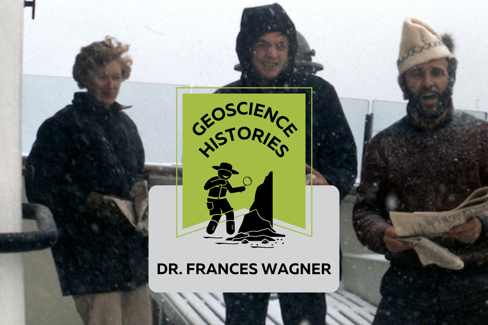
Three people standing on the deck of a boat with snow falling. Text on top of the photo reads: "Geoscience Histories, Frances Wagner"

Geoscience Histories: Dr. Frances Wagner

Frances Wagner was one of Canada’s first female geologists. Her studies in micropaleontology and mapping of Canada’s microscopic fossils were groundbreaking to our understanding of the geology of the continental shelves around Canada, especially the Arctic.  Frances was born in May of 1927 and grew up in Hamilton, Ontario, spending summers enjoying nature at her family’s cottage on Mary Lake. She and her brother would identify the lichens on the Canadian Shield rocks and go canoeing and exploring.  Wagner studied paleontology at the University of Toronto for her undergrad and went on to complete a Master’s degree in invertebrate paleontology at UofT. She researched Ordovician fossils near Ottawa under Dr. Alice Wilson (see our blog post on Dr. Wilson). The summer before she completed her Master’s degree she was hired by the Geological Survey of Canada (GSC) to catalogue fossil samples from the Victoria Museum in Ottawa. She was only the third woman to work at the GSC, in a time where women were considered too weak to do field work. Frances Wagner and her colleague Dr. Helen Belyea were some of the first women to work in the field at the GSC in the summer of 1950 with the support of Dr. Alice Wilson. Wagner went on to complete her PhD in micropaleontology at Stanford University in California. Her thesis was supervised by another groundbreaking female geoscientist Dr. Myra Keen. Her thesis was on marine Pleistocene deposits in southwestern British Columbia. She studied with a Geological Survey of Canada work party on the coast of British Columbia and shipped 350 pounds of samples from British Columbia to California to complete her studies. Her PhD allowed her to pioneer the study of marine micropaleontology. In 1954 Wagner returned to Ottawa to work full time at the GSC and complete her thesis at the same time. In order to complete her PhD she travelled three days by train to Stanford and three days back for her oral exam. In 1964, Wagner’s colleague Charlotte Keen was the first woman to travel on a research ship. The next summer, Dr. Wagner joined Keen and a few other women on the CSS Hudson to map the floor of Hudson’s Bay. The CSS Hudson was the first ship to circumnavigate North America. Wagner joined the ship as it traversed the dangerous Northwest Passage. This was a particularly perlious journey, and they concluded that the Northwest Passage was unsafe for travel. Chief Scientist Dr. Bernard Pelletier wrote in the ship report that at one point, “[the ship] rode up onto a particularly hard floe and slid off one side thereby heeling to port so abruptly and steeply that her guardrail almost touched the broken sea ice.” This is just a taste of the danger that Dr. Pelletier wrote in the report. While on the CSS Hudson, Dr. Wagner studied the ecological history of the Beaufort Sea and published groundbreaking work on the topic. In 1967, Dr. Wagner moved to Nova Scotia to work for the Bedford Institute of Oceanography. She used her experience in marine micropaleontology to study the microbiota of the Arctic and Atlantic continental shelves. In 1973 Dr. Wagner was elected as a Fellow of the Royal Canadian Geographical Society. In 1979 she co-authored a second paper on the Beaufort Shelf, this one focusing on the effects of disturbances, such as hydrocarbon drilling, on the marine ecology of the area. Outside of her career, Frances was an avid horsewoman. She owned two registered Morgan horses, Belle and Jay. She raised Jay from 5 months old and rode him for 24 years. She helped found the Nova Scotia Historical Riding Society and learned to ride sidesaddle in order to do demonstrations of traditional riding techniques at different Museum sites in Nova Scotia. She also researched and sewed traditional clothing for the Uniacke Heritage Society. Wagner was also a dog breeder. She had a kennel called Thicketwood where she bred Shetland Sheepdogs. She helped save the rare Norwegian Lundehund from extinction, importing them to Canada and breeding and showing them. Once she retired in 1984, she focused more of her time and attention on her dog breeding and horseback riding. She always had a love for the outdoors, and was an accomplished canoeist and long distance swimmer.  Wagner never married or had kids. When asked about it she said, “I was a career girl.” In Wagner’s day there was a lot of prejudice against women in the workplace getting married or having families. In Canada there was a law in place that allowed employers to fire female employees if they married. This legislation was only repealed in 1955, when Wagner was already 28 years old. Dr. Wagner had an immense influence on the field of micropaleontology in Canada. You can read one of Dr. Wagner’s publications, “Fossils of Ontario: Part 2: Macroinvertebrates and vertebrates of the Champlain Sea,” published by the Royal Ontario museum. Along with her female colleagues, she defied expectations and made major contributions to her field doing work that was previously considered improper or too difficult for women. Sources:  Science.ca Scientist Profile Frances Wagner Trowelblazers Frances Wagner NecroCanada Obituaries Frances Wagner Ada Lovelace Day Dr Frances Wagner Paleontology and stratigraphy of the marine Pleistocene deposits of Southwestern British Columbia. Fossils of Ontario: Part 2: Macroinvertebrates and vertebrates of the Champlain Sea Author Veronica Klassen is the Manager of the Foundation’s blog – Beneath Your Feet: A Geoscience Blog. She studied Arts and Science at McMaster University with a minor in Earth Science and has a masters in Science Communication from Laurentian University. She is passionate about making science accessible and engaging to the public.

Read More »
Artists rendition of the big bang showing a sphere of light with rays of light flowing outward from the center. Text on top of the image reads: Geoscience Today. The great anthropocene explosion

The Great Anthropocene Explosion

Geodiversity Takes Centre Stage Paul Hubley, P.Geo. All the world’s a stage And all the men and women merely players, They have their exits and their entrances, And one man in his time plays many parts, His acts being seven ages… Excerpt from William Shakespeare As You Like It (spoken by Jacques) An explosion of Homeric (epic) proportions, an estimated 13.8 billion years ago, gave rise to everything physical and chemical around us today. The blast was so great that some even postulate that the early moments of our universe even had several additional dimensions compared to those we know now. And it is all still expanding. Physics tells us that explosions result in a release of energy–a reordering of matter. Chemistry tells us that they are the dismantling of something old and creation of something new. Clinical psychologists refer to explosions as a trauma after which a new awareness can be developed over time. Explosions have shaped our consciousness, informed our rituals, politics and religion, and are often expressed in parables or in oral tradition, theatre, poetry and popular culture. One thing is certain–as the curtain lowers in the aftermath of an explosion, things are not the same as they were.  When we examine our world on the backdrop of explosive events, we judge some events to be acceptable or even good, whereas some we reject as bad. Some explosions play a small part in our history while others occupy centre stage. Natural or manmade, terrible or wonderful, detonation or no detonation, explosions have always been a fascination to many, including geoscientists. Whether it be meteorite strikes resulting in extinction events, or tritium detection from atomic bombs being tracked in groundwater for age-dating, some geoscientists dedicate their careers to understanding explosive events.  In an excerpt of As You Like It, Shakespeare introduced seven Acts for seven ages, beginning with the iconic line “All the World’s a Stage.”  Classical Latin explōdō means “to hiss a bad actor off the stage,” or “to drive an actor off the stage by making noise,” from ex- (“out“) + plaudō (“to clap; to applaud“), hence meaning “to drive out” or “to reject.” The modern meaning developed later. In Shakespeare’s time, just as with the ancient Greeks, men were the only ones allowed to be theatre actors–fortunately in theatre we’ve generally developed a more sensible sense of diversity since that time, and benefited greatly from it.  Shakespeare described seven ages of a man’s life, from young to old. Our play also has seven Acts for seven ages on the World stage, but in reverse order, from oldest to youngest, with some key explosive events as the backdrop. It is presented in two parts, converging in Ontario. In Part I we encounter physical-chemical-biological explosions in the abiotic and biotic world. In Part II we implode (focus inward), in hopes of blending our natural world with our community, actions and interactions with others–an implosion of nature and culture, to see what post-play chatter we can initiate.  Now we welcome our principal company of actors: geodiversity, having this basic definition: Geodiversity is the variety of earth materials, forms and processes that constitute and shape the Earth, either the whole or a specific part of it. Relevant materials include minerals, rocks, sediments, fossils, soils and water. Forms may comprise folds, faults, landforms and other expressions of morphology or relations between units of earth material. Any natural process that continues to act upon, maintain or modify either material or form (for example tectonics, sediment transport, pedogenesis) represents another aspect of geodiversity. However geodiversity is not normally defined to include the likes of landscaping, concrete or other significant human influence.  At this point in our story our world is formed and the stage is set. The stage is suspended in the vastness of space. It’s a place of spectacular beauty, with a slow rotation of players. The audience is in a hushed silence, waiting for the first Act in our diversity play, ready if needed to boo bad actors off the stage…  PART I Act I – All the World’s a Stage It took over 9 billion years after the initial explosion, so about 4.6 billion years ago, to get sufficient cosmic dust and rocks to agree with each other enough to form the accretion of a new celestial body, a world we here call Earth (which is one name of many). Here we find the basic building blocks for everything we know and everything we have ever known.   As the world cooled sufficiently, and for billions of years, all the world’s been a stage for a slow but steady rise in geodiversity, with a few exiting the stage, and many others entering. Throughout this time there were numerous explosions, the biggest is believed to be when a Mars-sized planetoid we named Theia crashed into Earth, ejecting the material for the moon. A meteorite is generally considered to be responsible for the Sudbury Nickel Rim–this would have been an explosive event of epic proportions. No doubt there were new minerals formed as a result of these events. But generally speaking, over this vast timescale of billions of years, geodiversity was not particularly explosive. In a series of studies, Hazen et al (2008), Hazen et al (2017) and Hazen and Morrison (2022) describe geodiversity as a function of mineral diversity. The research identifies that the world stage has hosted between 5,000 and 6,000 minerals, much of it believed to be biologically-mediated (formed as a result of biological processes), even in the early days of world history. The research describes a slow increase over deep time, culminating in the Great Oxidation Event, resulting in a groundswell of new minerals due to the availability of oxygen in the atmosphere to react with other elements (relatively speaking, oxygen is highly reactive and found all sorts of ways to combine with rocks and minerals). But despite this reactivity, throughout this deep time period of billions of years there’s nothing even close to being considered an

Read More »
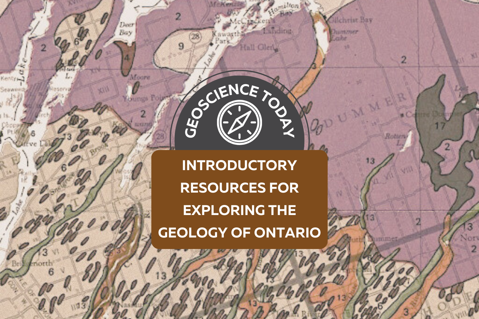
A geologic map showing different coloured rock units. Text over the map reads: "Geoscience Today. Introductory Resources for Exploring the Geology of Ontario."

Introductory Resources for Exploring the Geology of Ontario

A note from APGOEF:  Today we are publishing something a bit different than our regular blog posts! It is our primary goal at APGOEF to educate and spread awareness about geoscience, so when Ken Lyon presented us with this comprehensive list of resources, we couldn’t resist sharing it with our readers. We hope you will find this compilation useful to your exploration of earth science. APGOEF does not take responsibility for the content of the resources provided, and cannot vouch for their validity. Preface The following is written by: Ken Lyon, MSc, P.Geo, kenlyongeo@gmail.com, Peterborough, ON The impetus for this compilation of over 50 publications and internet resources came from Laura Mancini of the Ontario Geological Survey. Laura reached out to me in 2021 in my capacity as Newsletter Editor of the Kawartha Rock and Fossil Club. She had been contacted by someone who was looking to explore the geology of Ontario, and wondered if the Kawartha club might have something to help. Laura’s question fit in with a list of resources that I had started compiling for rockhounds, field naturalists and other people who like these kinds of things. Perhaps now more than ever with climate change and related issues front-and-centre, we are coming to appreciate that geoscience is hugely significant and fun to learn about and explore. In compiling this list, I have tried to offer some guidance by assigning levels to the resources ranging from Level 1 for those who know nothing or little about geology to Level 3 for those who feel comfortable with basic concepts. Resources marked with a * are particularly recommended. I have included some of my favourite books that cost money and also many good resources that are free of charge. Level 3 and beyond takes you into the worlds of serious mineral, rock and fossil collectors and people who have taken college and university courses. This is not to say that you need formal study. I am constantly learning from members of the Kawartha and other clubs who are self-taught and know more about some topics than I ever will. This compilation is a work-in-progress and I have made some minor revisions since 2021. Hopefully, you will find a few “nuggets” of information to help you get out and have some fun. Amethyst rock from Thunder Bay area, ON. Photo: Ken Lyon Amethyst is a purple variety of quartz and the official gemstone of Ontario. The reddish-brown crystals on the left are amethyst crystals coated with the iron mineral, hematite. The length of the rock shown is 40 cm. My wife bought this as a treasured addition to her rock garden. Acknowledgements While I take responsibility for selection of the resource list and comments, I would like to gratefully acknowledge review comments and encouragement provided by the following in alphabetical order: Andy Fyon, PhD, formerly of the Ontario Geological Survey; Kevin Kidd of the Kawartha Rock and Fossil Club and the Gem and Mineral Club of Scarborough; Laura Mancini, MSc, PGeo, of the Ontario Geological Survey; Bill Pearson, PhD, PGeo, and Deana Schwarz, PhD, PGeo, of the APGO Education Foundation; and Ashley Pollock of the London Gem, Mineral and Fossil Society, the Walker Mineralogical Club, and the Central Canadian Federation of Mineralogical Societies (CCFMS) Some Important Precautions and Disclaimers You are responsible for knowing where you can go, where you can park, what safety hazards may exist and what personal protective equipment you need, and what you can pick up and take back home. Parking rules change from road to road and place to place.  Respect all laws and rights governing private and Crown property, and obey all rules and regulations covering any access to and from any of locations. Bedrock outcrops and other locations can pose traffic, slip-trip-fall and other hazards. The use of hammers can be dangerous and in some cases destroys the outcrop for future observation. Rock, mineral and fossil samples cannot be removed from protected areas such as parks and conservation areas or from private property without permission. If you are rockhounding, please follow the CCFMS Code of Ethics for Rockhounds (https://ccfms.ca/Copied_Field_Trips.php) and Safety for Field Trippers (https://ccfms.ca/CCFMS-Safety-Rules.php). I have not personally visited most of the sites listed and cannot vouch for the accuracy of the content of the resources. And finally, I have to disclaim any liability in connection with the use of the information presented and my annotated comments and recommendations. Great Unconformity bedrock outcrop at Galesburg just northeast of Peterborough in The Land Between. Photo: Ken Lyon Paleozoic Ordovician limestone about 450 million years old overlying Precambrian granitic mountain core about 1 billion years old; incredible time spans. Annotated List Alphabetically by Author (or source when no author is available) Resources marked * are particularly recommended. Level 1 Resources Brachiopod and bryozoa fossils in limestone near Lindsay, ON. Photo: Don McLeod used with permission. Don maintains a good nature blog at https://www.donaldmcleod.com Fossiliferous Ordovician limestone about 450 million years old. At the time we were under a warm shallow sea south of the equator. The large fossil is about 3 cm across. Other Museums, Science Centres, Geo-Parks There are many museums and other facilities across southern Ontario that feature geology exhibits. Here are a few that were recommended by my reviewers: Arkona Lions Museum –  Arkona, ON Bancroft Mineral and Mining Museum, Bancroft, ON Canadian Museum of Nature, Ottawa, ON Hooper Virtual Natural History Museum – Carleton University, Ottawa, ON Metcalfe Geoheritage Park – Almonte  Miller Museum of Geology, Queens University, Kingston, ON Oil Museum of Canada, Oil Springs, ON Science North – Sudbury, ON Additional Fossil Resources Some additional fossil references recommended by my reviewers are listed below: Level 2 Resources Physiographic features of the Peterborough – Stoney Lake, ON area. Small portion of Physiography of the South Central Portion of Southern Ontario. Ont. Dept. of Mines and Northern Affairs, Map 2226. Scale 1:253,440. © Queen’s Printer for Ontario 1972. Reprinted 1984 with minor revisions. Features shown include till moraine (purple), sand plains

Read More »
Landscape with mossy boulders and shrubs with a forest in the background. There is fog making the photo blurry. Text on the photo reads: "Geoscience Today. 7 Beautiful Autumn Hikes in Ontario"

7 Beautiful Autumn Hikes in Ontario

Looking to explore Ontario this fall season? Autumn is one of the best times to grab a warm drink and get outside to appreciate the colourful landscape.  Here’s a list of some of the best hiking spots across Ontario. Each of these places has a unique history, geology, flora, and fauna. The fall colours in Ontario are generally best between mid-September and mid-October, but Ontario Parks also publishes a map showing the changing colours across Provincial Parks in Ontario! The fall colour map is updated weekly with current colours at each park, so make sure to check it out before you go! If you do go to any of these locations, be sure to come prepared with water, snacks, and emergency first aid. Please check the park or trail’s website before going to ensure they are open and see if you need to pre-book a parking spot. Some places close late October for the winter season, so make sure to double check that the trail is open before you leave. In order from south to north, here are the hikes to check out this fall: Point Pelee is at the southernmost point in Ontario, and is known for its diversity of ecology and wildlife. The autumn season sees visits from migrating Monarch butterflies on their way south. Visit the park from late August to mid-October in the early morning or just before sunset for a chance to view these gorgeous migrating butterflies. Point Pelee has a diverse mix of ecosystems including the Lake Erie Sand Spit Savannah – a unique mix of Red Cedar Savannah, Shoreline Savannah, and woodland. The difference between a savannah and a woodland or a forest has to do with the amount of light that reaches the undergrowth. In a savannah, less than 25% of the ground is covered by the canopy, allowing light-loving plants to grow underneath the trees. A woodland is defined by 25-50% canopy cover, and more than 50% cover is a forest.  At Point Pelee you can also find a large marsh home to frogs, turtles, muskrats, snakes, insects, fish, and zooplankton; a swamp forest home to many species of birds, frogs and butterflies; and a dry forest with unique trees and wildflowers. Learn more about the ecology of Point Pelee on the Government of Canada website or on the Ontario Parks Blog. The hiking and walking trails at Point Pelee are also accessible to strollers and wheelchairs. Check out the trail maps here to plan your visit. 2. Dundas Peak Dundas Peak in Hamilton Ontario is surrounded on all sides by a gorgeous deciduous forest full of vibrant autumn colours. Standing on a large outcrop on the Niagara Escarpment, Dundas Peak overlooks the Spencer Gorge to the cliffs of the Escarpment beyond. Dundas Peak is located in the popular Spencer Gorge Conservation Area, where visitors come to see either the view from the peak or the two large waterfalls in the area. Note that entering the conservation area requires a booked appointment and a paid parking spot. Please read the Conservation Hamilton website carefully before you go, as they have recently made changes to limit the number of people on the trails. If you want to avoid the crowds, local blogger Lauren Yakiwchuk recommends the Sydenham lookout as a good alternative to Dundas Peak with almost the same view. 3. Pinery Provincial Park Pinery Provincial Park lies on the shores of Lake Huron and boasts beautiful oak trees. Due to its southern location and the moderating effect of Lake Huron, the trees at Pinery change colour later in the fall season and will be at their peak between mid-October and early-November. Pinery is also home to a very rare ecosystem – an oak savannah.  Not only is the savannah rare, but the very landforms that make up Pinery Provincial Park are also unique. Pinery is situated on sand dunes formed over the last 6,000 years. Did you know that less than 0.5% of Ontario is made up of coastal sand dunes? About 7,500 years ago, most of southern Ontario was covered in one large lake called Lake Nipissing. As Lake Nipissing receded, sand and rocks were moved southward along the Eastern coast of Lake Huron from Grand Bend towards Kettle Point (see map below). Checkout the Friends of Pinery website for different hikes to try at Pinery. Creation of Dunes at Pinery Provincial Park. © King’s Printer for Ontario, 2019. 4. The Cheltenham Badlands The Cheltenham Badlands are famous for their unique geological formation. The rolling red rocks were formed 450 million years ago at the bottom of a lake. These rocks, part of the Queenston Shale Formation, were exposed over the years due to poor farming practices that eroded the topsoil. The red rocks match the red autumn leaves in the fall, adding to the magic of the landscape. There is also a 1.4 km hike in the conservation area that takes you through the forest surrounding the exposed rocks. The conservation area was previously closed to the public in order to preserve the rocks, but has since been reopened with a boardwalk over the rocks. The boardwalk is wheelchair accessible and there are educational information signs along it. You can no longer walk on the rocks in order to preserve them and prevent quick erosion of the landform. Make sure to go to the Cheltenham Badlands website to book a spot at least one day before you go. 5. Algonquin Provincial Park Algonquin is famous for its expansive forest and wildlife. Algonquin has forests of sugar maples and red maples, which turn brilliant orange and red colours in the fall. The colours will be at their best between mid-September and mid-October. There are so many walking trails that it can be hard to choose which one to do. Even if you visit Algonquin many times, there is always something new to see. The Fire Tower Trail in particular has a great lookout over the fall colours at the

Read More »
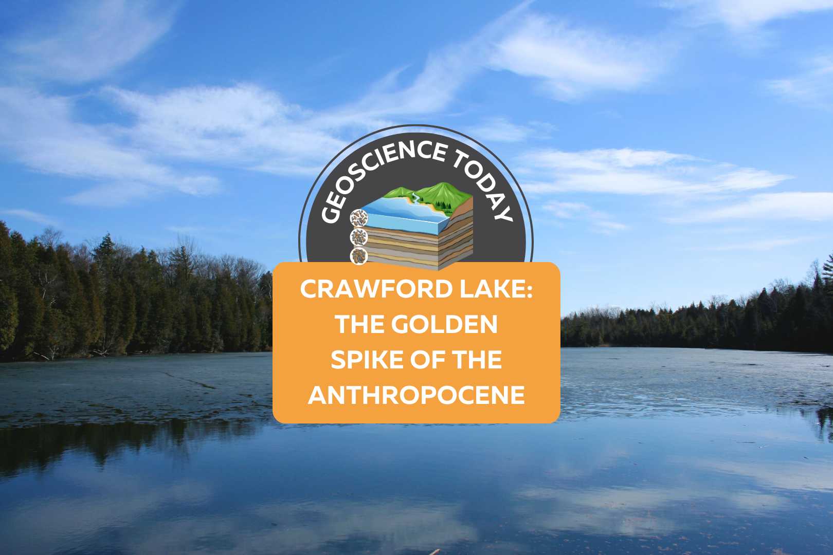
A still, flat lake with evergreen trees on the opposite shore and a blue sky above. On top of the photo text reads: Geoscience Today. Crawford Lake: The Golden Spike of the Anthropocene.

Crawford Lake: The Golden Spike of the Anthropocene

Crawford Lake is a small lake near Milton Ontario, also called “Kionywarihwaen” meaning “where we have a story to tell” in the Wendat language. The lake was just designated as the “Golden Spike” for Earth’s proposed new epoch: The Anthropocene. The lake represents an extremely well preserved example of the impact humans have had on the geology and environment of the Earth in the last century. If the Anthropocene is officially accepted as a new epoch, then Crawford Lake will receive a physical golden spike in the rock to highlight the sediment layers that signal the new epoch. First, let’s back up a bit: What exactly is an epoch? And what is the Anthropocene? You may have seen a graph such as the one below that demonstrates the segments of geologic time. An epoch is one of the categories of time on the geologic time scale. From largest to smallest, the categories are: eon, era, period, epoch, and age. Each of these categories is separated by a significant event in geologic history, for example, the asteroid that finished off the dinosaurs defines the end of the Cretaceous period and the start of the Tertiary period. The Anthropocene is a potential new epoch that is proposed to have started around 1950. This epoch is defined by human impact on the Earth’s climate, environment and geology. Many geologists argue that the impacts of human development can be seen in the rock record, and mark a distinct change from the geology of the Earth pre-1950. So what does this have to do with a small lake near Milton, Ontario? Crawford Lake has a very unique ecosystem. The different levels of water in Crawford Lake do not mix together. The lake is very deep and not very wide, so the top layers of the water do not mix with the bottom layers. Lakes like this are called meromictic. Although in most meromictic lakes the bottom layer of water is oxygen-depleted, in Crawford Lake, the whole water column is oxygenated, making it especially unique. The layers of water at the bottom of the lake are virtually undisturbed by currents. The lack of sea life in the deep of the lake also ensures that the sediments are not disturbed from burrowing organisms. These unique features of Crawford Lake mean that each layer of sediment is not mixed with the last, and each yearly deposition of sediment can be distinguished from the last. There is nearly 10,000 years of layering that can be seen at the bottom of Crawford Lake. When geoscientists first recognized this, they were excited to find corn pollen preserved in layers from the Middle Ages, supporting the theory that the peoples of the time were farming corn. This also led to the discovery of a nearby Indigenous settlement with longhouses from the 15th Century. Now however, the layers are being examined again for evidence of human-related change. An increase in carbon-based particles in the 1950s reflects the increase in coal-fired steel-making in nearby Hamilton, Ontario. Nuclear testing has created an increase in plutonium in some of the layers. Additionally, nitrogen isotopes have been changed due to fertilizers and there’s evidence of acid rain. These are all further evidence that support the Anthropocene. So what happens next? The Anthropocene Working Group, part of the International Commission on Stratigraphy, is still determining whether or not the evidence supports the proposed epoch. It’s still possible that the International Commission on Stratigraphy will ultimately decide that there is not enough evidence to proclaim the start of the Anthropocene. Alternatively, they could decide that the Crawfordian age has begun, but that we are still in the Holocene epoch. Or they will accept the Anthropocene epoch and the Crawfordian era as the newest unit of geological time. If this happens, this will be the first epoch influenced by and observed by humans. It will also represent concrete evidence that humans have irreversibly changed the nature of the Earth down to even the rock record. This is a huge step forward in scientific knowledge and understanding of the interactions between humans and geology. For more information about Crawford Lake, check out this interactive illustrated article from the Washington Post. Sources: CBC Canada’s Crawford Lake chosen as ‘golden spike’ to mark proposed new epoch CBC A new geological epoch, the Anthropocene, has begun, scientists say Yale Environment: A Golden Spike Would Mark the Earth’s Next Epoch: But Where? The Washington Post: Crawford Lake shows humans started a new chapter in geologic time, scientists say Canadian Geographic: The Anthropocene is here — and tiny Crawford Lake has been chosen as the global ground zero Conservation Halton: Crawford Lake Studies International Society for Diatom Research: A small lake with a large story to tell: what does it take to represent an Epoch Veronica Klassen is the Manager of the Foundation’s blog – Beneath Your Feet: A Geoscience Blog. She studied Arts and Science at McMaster University with a minor in Earth Science and has a Master’s in Science Communication from Laurentian University. She is passionate about making science accessible and engaging to the public.

Read More »