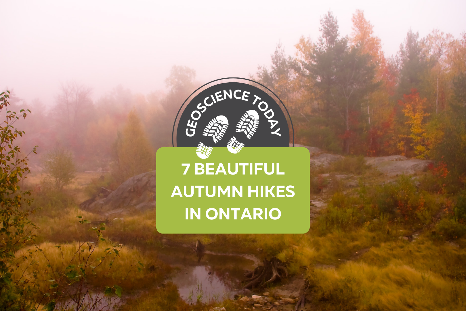
Landscape with mossy boulders and shrubs with a forest in the background. There is fog making the photo blurry. Text on the photo reads: "Geoscience Today. 7 Beautiful Autumn Hikes in Ontario"

7 Beautiful Autumn Hikes in Ontario

Looking to explore Ontario this fall season? Autumn is one of the best times to grab a warm drink and get outside to appreciate the colourful landscape.  Here’s a list of some of the best hiking spots across Ontario. Each of these places has a unique history, geology, flora, and fauna. The fall colours in Ontario are generally best between mid-September and mid-October, but Ontario Parks also publishes a map showing the changing colours across Provincial Parks in Ontario! The fall colour map is updated weekly with current colours at each park, so make sure to check it out before you go! If you do go to any of these locations, be sure to come prepared with water, snacks, and emergency first aid. Please check the park or trail’s website before going to ensure they are open and see if you need to pre-book a parking spot. Some places close late October for the winter season, so make sure to double check that the trail is open before you leave. In order from south to north, here are the hikes to check out this fall: Point Pelee is at the southernmost point in Ontario, and is known for its diversity of ecology and wildlife. The autumn season sees visits from migrating Monarch butterflies on their way south. Visit the park from late August to mid-October in the early morning or just before sunset for a chance to view these gorgeous migrating butterflies. Point Pelee has a diverse mix of ecosystems including the Lake Erie Sand Spit Savannah – a unique mix of Red Cedar Savannah, Shoreline Savannah, and woodland. The difference between a savannah and a woodland or a forest has to do with the amount of light that reaches the undergrowth. In a savannah, less than 25% of the ground is covered by the canopy, allowing light-loving plants to grow underneath the trees. A woodland is defined by 25-50% canopy cover, and more than 50% cover is a forest.  At Point Pelee you can also find a large marsh home to frogs, turtles, muskrats, snakes, insects, fish, and zooplankton; a swamp forest home to many species of birds, frogs and butterflies; and a dry forest with unique trees and wildflowers. Learn more about the ecology of Point Pelee on the Government of Canada website or on the Ontario Parks Blog. The hiking and walking trails at Point Pelee are also accessible to strollers and wheelchairs. Check out the trail maps here to plan your visit. 2. Dundas Peak Dundas Peak in Hamilton Ontario is surrounded on all sides by a gorgeous deciduous forest full of vibrant autumn colours. Standing on a large outcrop on the Niagara Escarpment, Dundas Peak overlooks the Spencer Gorge to the cliffs of the Escarpment beyond. Dundas Peak is located in the popular Spencer Gorge Conservation Area, where visitors come to see either the view from the peak or the two large waterfalls in the area. Note that entering the conservation area requires a booked appointment and a paid parking spot. Please read the Conservation Hamilton website carefully before you go, as they have recently made changes to limit the number of people on the trails. If you want to avoid the crowds, local blogger Lauren Yakiwchuk recommends the Sydenham lookout as a good alternative to Dundas Peak with almost the same view. 3. Pinery Provincial Park Pinery Provincial Park lies on the shores of Lake Huron and boasts beautiful oak trees. Due to its southern location and the moderating effect of Lake Huron, the trees at Pinery change colour later in the fall season and will be at their peak between mid-October and early-November. Pinery is also home to a very rare ecosystem – an oak savannah.  Not only is the savannah rare, but the very landforms that make up Pinery Provincial Park are also unique. Pinery is situated on sand dunes formed over the last 6,000 years. Did you know that less than 0.5% of Ontario is made up of coastal sand dunes? About 7,500 years ago, most of southern Ontario was covered in one large lake called Lake Nipissing. As Lake Nipissing receded, sand and rocks were moved southward along the Eastern coast of Lake Huron from Grand Bend towards Kettle Point (see map below). Checkout the Friends of Pinery website for different hikes to try at Pinery. Creation of Dunes at Pinery Provincial Park. © King’s Printer for Ontario, 2019. 4. The Cheltenham Badlands The Cheltenham Badlands are famous for their unique geological formation. The rolling red rocks were formed 450 million years ago at the bottom of a lake. These rocks, part of the Queenston Shale Formation, were exposed over the years due to poor farming practices that eroded the topsoil. The red rocks match the red autumn leaves in the fall, adding to the magic of the landscape. There is also a 1.4 km hike in the conservation area that takes you through the forest surrounding the exposed rocks. The conservation area was previously closed to the public in order to preserve the rocks, but has since been reopened with a boardwalk over the rocks. The boardwalk is wheelchair accessible and there are educational information signs along it. You can no longer walk on the rocks in order to preserve them and prevent quick erosion of the landform. Make sure to go to the Cheltenham Badlands website to book a spot at least one day before you go. 5. Algonquin Provincial Park Algonquin is famous for its expansive forest and wildlife. Algonquin has forests of sugar maples and red maples, which turn brilliant orange and red colours in the fall. The colours will be at their best between mid-September and mid-October. There are so many walking trails that it can be hard to choose which one to do. Even if you visit Algonquin many times, there is always something new to see. The Fire Tower Trail in particular has a great lookout over the fall colours at the

Read More »
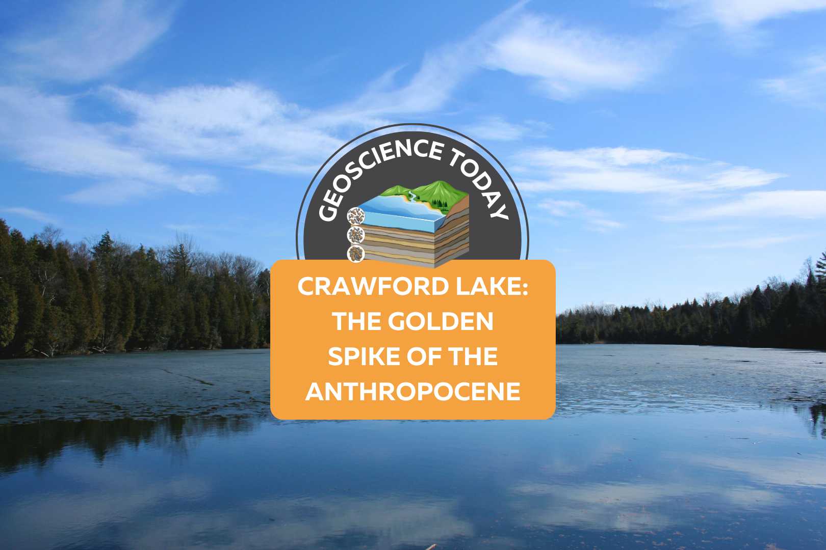
A still, flat lake with evergreen trees on the opposite shore and a blue sky above. On top of the photo text reads: Geoscience Today. Crawford Lake: The Golden Spike of the Anthropocene.

Crawford Lake: The Golden Spike of the Anthropocene

Crawford Lake is a small lake near Milton Ontario, also called “Kionywarihwaen” meaning “where we have a story to tell” in the Wendat language. The lake was just designated as the “Golden Spike” for Earth’s proposed new epoch: The Anthropocene. The lake represents an extremely well preserved example of the impact humans have had on the geology and environment of the Earth in the last century. If the Anthropocene is officially accepted as a new epoch, then Crawford Lake will receive a physical golden spike in the rock to highlight the sediment layers that signal the new epoch. First, let’s back up a bit: What exactly is an epoch? And what is the Anthropocene? You may have seen a graph such as the one below that demonstrates the segments of geologic time. An epoch is one of the categories of time on the geologic time scale. From largest to smallest, the categories are: eon, era, period, epoch, and age. Each of these categories is separated by a significant event in geologic history, for example, the asteroid that finished off the dinosaurs defines the end of the Cretaceous period and the start of the Tertiary period. The Anthropocene is a potential new epoch that is proposed to have started around 1950. This epoch is defined by human impact on the Earth’s climate, environment and geology. Many geologists argue that the impacts of human development can be seen in the rock record, and mark a distinct change from the geology of the Earth pre-1950. So what does this have to do with a small lake near Milton, Ontario? Crawford Lake has a very unique ecosystem. The different levels of water in Crawford Lake do not mix together. The lake is very deep and not very wide, so the top layers of the water do not mix with the bottom layers. Lakes like this are called meromictic. Although in most meromictic lakes the bottom layer of water is oxygen-depleted, in Crawford Lake, the whole water column is oxygenated, making it especially unique. The layers of water at the bottom of the lake are virtually undisturbed by currents. The lack of sea life in the deep of the lake also ensures that the sediments are not disturbed from burrowing organisms. These unique features of Crawford Lake mean that each layer of sediment is not mixed with the last, and each yearly deposition of sediment can be distinguished from the last. There is nearly 10,000 years of layering that can be seen at the bottom of Crawford Lake. When geoscientists first recognized this, they were excited to find corn pollen preserved in layers from the Middle Ages, supporting the theory that the peoples of the time were farming corn. This also led to the discovery of a nearby Indigenous settlement with longhouses from the 15th Century. Now however, the layers are being examined again for evidence of human-related change. An increase in carbon-based particles in the 1950s reflects the increase in coal-fired steel-making in nearby Hamilton, Ontario. Nuclear testing has created an increase in plutonium in some of the layers. Additionally, nitrogen isotopes have been changed due to fertilizers and there’s evidence of acid rain. These are all further evidence that support the Anthropocene. So what happens next? The Anthropocene Working Group, part of the International Commission on Stratigraphy, is still determining whether or not the evidence supports the proposed epoch. It’s still possible that the International Commission on Stratigraphy will ultimately decide that there is not enough evidence to proclaim the start of the Anthropocene. Alternatively, they could decide that the Crawfordian age has begun, but that we are still in the Holocene epoch. Or they will accept the Anthropocene epoch and the Crawfordian era as the newest unit of geological time. If this happens, this will be the first epoch influenced by and observed by humans. It will also represent concrete evidence that humans have irreversibly changed the nature of the Earth down to even the rock record. This is a huge step forward in scientific knowledge and understanding of the interactions between humans and geology. For more information about Crawford Lake, check out this interactive illustrated article from the Washington Post. Sources: CBC Canada’s Crawford Lake chosen as ‘golden spike’ to mark proposed new epoch CBC A new geological epoch, the Anthropocene, has begun, scientists say Yale Environment: A Golden Spike Would Mark the Earth’s Next Epoch: But Where? The Washington Post: Crawford Lake shows humans started a new chapter in geologic time, scientists say Canadian Geographic: The Anthropocene is here — and tiny Crawford Lake has been chosen as the global ground zero Conservation Halton: Crawford Lake Studies International Society for Diatom Research: A small lake with a large story to tell: what does it take to represent an Epoch Veronica Klassen is the Manager of the Foundation’s blog – Beneath Your Feet: A Geoscience Blog. She studied Arts and Science at McMaster University with a minor in Earth Science and has a Master’s in Science Communication from Laurentian University. She is passionate about making science accessible and engaging to the public.

Read More »
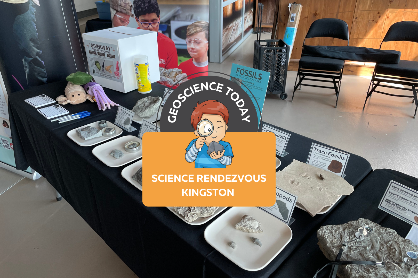
The APGOEF table at Science Rendezvous with fossils and stuffed animals. On top of the image text reads "Geoscience today: Science Rendezvous Kingston"

AGPOEF at Science Rendezvous Kingston

The APGO Education Foundation was excited to participate in Science Rendezvous in Kingston on May 13th, 2023! APGOEF has attended Science Rendezvous Kingston in previous years, and it has always been an incredible outreach event.  The day started with opening ceremonies where the official town crier announced the decision to make May 13th, 2023, the official “Science Rendezvous Day.” The town crier along with the mayor opened the doors at 10am to allow the crowd of families into the Leon’s Centre on the Tragically Hip Way by Kingston’s waterfront.  APGOEF collaborated with Mining Matters to create a fun table about the fossils of Kingston! Our booth was right next to the entrance to the Leon’s Centre and the crowd was instantly lining up to take a look at our fossils. We had an extensive fossil collection on display; some of which were donated to us by Bob O’Donnell.  We engaged kids by handing out stickers that said “I love fossils.” The kids loved them, putting them on their hands and t-shirts or tucking them away safely into their tote bags provided by Science Rendezvous. We also brought our signature colour-changing pencils, which are always a hit at any event we go to. We showed the children how, if you rub the pencil between your hands, it will change from black to pink or blue! Everyone was obsessed with the pencils and we handed out 500 or more.  We also had an interactive trace fossil activity with Play Doh. We provided an assortment of invertebrate fossils such as brachiopods, bryozoans, and corals, and encouraged people to press the fossils into the Play Doh and lift them out leaving behind a pattern. These patterns are similar to how trace fossils are made when the organism is alive, and sometimes all we have preserved of an organism is records of its behaviour in the sediment and not the animal itself! We also had some fun trace fossils on hand to surprise kids, such as footprints and coprolites (fossilized poop!) Once the kids were finished playing with the fossils and Play Doh, they moved further down the table to take a look at some cool fossil samples that could be found in the Kingston area. We explained how Kingston used to be under a massive shallow sea, and how all the sea creatures we see fossilized here used to live in the sea. We encouraged kids and parents to look around the limestones of Kingston to see some of the same fossils that were displayed here. At the end of the table we held a giveaway for three really cute fossil plushies as well as a copy of Four Billion Years and Counting, the beautifully illustrated geology textbook. We had families fill out a slip of paper answering questions about the fossils they interacted with in order to enter the giveaway. We picked three winners from the ballots the following day and mailed them their prizes. Approximately 1,300 people visited our booth during the 5 hour event. We really enjoyed talking to parents, kids, and individuals about the fossils of Kingston. A lot of the children expressed interest in fossils and some said that they had some fossils or rocks at home already. One child mentioned that he found a fossil on the way to school recently, and a few kids said that they loved dinosaurs. Although we didn’t have any dinosaurs at our table (you won’t find any dinosaur fossils in Kingston, or Ontario generally), we were still excited to connect with the kids about their passions.  The other organizations at Science Rendezvous all had incredible booths! We did not have much of a chance to walk around and see the other exhibits because we were so busy, but the whole event looked like a big success.  We would like to thank Science Rendezvous Kingston for having us again this year and for hosting such an incredible event. We also want to thank Bob O’Donnell for donating some of the beautiful fossils that really made our table a hit. We look forward to doing this again in the future!     Veronica Klassen is the Manager of the Foundation’s blog – Beneath Your Feet: A Geoscience Blog. She studied Arts and Science at McMaster University with a minor in Earth Science and has a Master’s in Science Communication from Laurentian University. She is passionate about making science accessible and engaging to the public.

Read More »
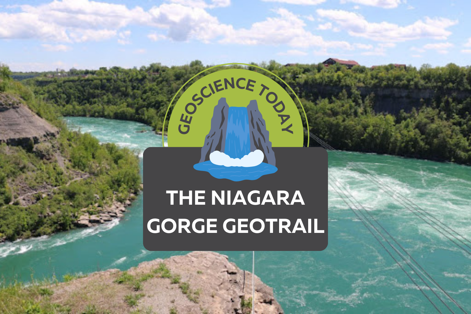
Aerial image of a turqoise river with white water. Surrounding the river is cliffs with greenery. Text on top of the photo reads "Geoscience Today. The Niagara Gorge Geotrail."

The Niagara Gorge Geotrail

The beautiful Niagara Gorge is made up of steep walls that rise on either side of the Niagara River, downstream of Niagara Falls, extending to Queenston, Ontario (and Lewiston, New York, depending which side of the river you’re standing on). The gorge itself is a geoscientist’s dream. The colourful rock units that lie one on top of the other may look like layers on a wedding cake but are in fact more like pages of a really good book (see image 1). Our book begins in the Late Ordovician Period, approximately 448 million years ago, at the bottom of the gorge, just above the river’s surface, with a long and juicy chapter called the Queenston Shale. The plot oscillates throughout the book as you read upwards through chapters of dolostone, limestone, sandstone, and shale. The book ends powerfully (note: spoilers ahead) in the Late Silurian Period (about 425 million years ago) with the limestones and dolostones of the Lockport Group, located at the very top of the gorge. The composition of each rock unit can tell us so much information about what the environment was like here, water depth, the types of organisms that lived at the time that the sediment was deposited, and much more. We don’t see giant 11-kilometre-long rock walls like this everywhere, so who or what do we have to thank for this geologic feature? Turns out, it’s just water being water. Southern Ontario has been through its fair share of glacial events. The most recent glacial event, called the Wisconsin Glaciation, lasted roughly 75,000 to 11,000 years ago. The amount of ice that was present in the area cannot be overstated; an ice sheet approximately 1-3 kilometres thick covered the Niagara region! As you can imagine, once this ice started to melt, it produced massive amounts of water. It was all this water that reshaped the water landscape of Ontario, creating new lakes, rivers, and streams, in addition to carving out land features that affect drainage patterns. The Niagara River was formed from this glacial meltwater, as it flowed from early Lake Erie to what is now Lake Ontario (but was the ancient Lake Iroquois at the time). When the Niagara River first started to flow, it would fall over the Niagara Escarpment at its original location, flush with the rest of the escarpment in the Queenston area. It didn’t take long, however, for the water to start eroding away at the escarpment in the river channel (see image 2). The rock units of the escarpment vary in their resistance to erosion. Shale, for example, is more easily eroded by fast-flowing water than limestone. As such, these rock units would erode away first beneath the top Lockport Group layer of dolostone and limestone (we call this top erosion-resistant layer a “caprock”), which would eventually lead to the dolostone/limestone caprock breaking off due to a lack of underlying support. Over the last 12,000 years, Niagara Falls has moved upstream (due to erosion) approximately 11 km! This makes it one of the fastest moving waterfalls in the world (see video below)! Even though Niagara Falls gets all the glory, no trip to the area would be complete without visiting the Whirlpool. Located downstream from the falls, it has a maximum depth of 83 metres and produces such powerful currents that the resulting change in water levels resembles marine tides (see image 3)! When the falls eroded from the rest of the Niagara Escarpment to the location of the Whirlpool, it began to erode through the ancient glacial sediments that had filled in the St. David’s Buried Gorge. These glacial sediments were less resistant to erosion than the surrounding Paleozoic sediments, so more erosion occurred here, forming a wider section of the gorge. This also caused the Niagara River to change direction; this direction change is responsible for the turbulent waters in the Whirlpool (see image 4). The Niagara Whirlpool area has some fantastic geology that can be visited in person, but you have to know where to look. The Niagara Gorge Geotrail, available through GeoscienceINFO.com is a great resource that not only provides exact map-based GPS locations, but it also tells you what geological features you are looking at and how they formed. The Niagara Gorge Geotrail begins by setting the scene beside the Niagara Glen Nature Centre. At this stop you are standing directly on the Wintergreen Flats, which at this location form a promontory – a point of high land that extends out as a headland. Stop #2 provides a fantastic view of the magnificent rock units of the escarpment on the American side. This is best viewed in the early afternoon, as the sun lights up the different coloured layers of shales, sandstones, dolostones, and limestones. When you look at this horizontal rainbow of rocks, think about the different environments that were present at the time they were deposited. From the deeper seas that deposited the shales, to the shallower seas of the sandstones, to the often-busy metropolises of marine organisms that led to the limestone deposits. If fossils are your thing (which I know they are), stops three and five have just what you need. A giant fossilized coral reef allows you to play detective and search for all kinds of little critters from bryozoans to little now-disarticulated crinoid ossicles that once stood tall one on top of each other, holding up the fleshy part of the animal in its calyx at the top. A fallen block of dolostone contains a fossilized trilobite, a class of invertebrates that went completely extinct just before the dinosaurs came on the scene, approximately 250 million years ago (see image 5). The Geotrail wraps up with a large rock block with a strange-looking tunnel in it. It looks like this tunnel was man-made, as it’s exceptionally round and extends right through the rock. This tunnel, actually called a “pothole”, was naturally made through the abrasive action of rocks and water. Potholes form through the repetitive circular movement of

Read More »
A pirate ship sailing into the sunset with a black flag with a photo of the earth on it. Text over the photo read: "Geoscience Today. Pirates and Geoethical privateers."

Pirates and Geo-Ethical Privateers

By Paul Hubley, P.Geo. “True Fact – the lack of pirates is causing global warming” – Forbes (2012) When Forbes Magazine published this graph along with the claim above, it caught my eye. In the graph, the average global temperature is increasing (on the vertical axis) as the number of pirates (on the horizontal axis) is decreasing. The reduction of pirates to “approximately” 17, roughly corresponding to the highest recorded temperature, is an oddly specific measurement (and my favourite part). There is even a handy timestamp along the curve and a familiar but outdated and partially obscured world map background for added authenticity. Taken together, the visual story woven by Forbes cleverly serves to reinforce some of our existing biases and our assumptions – it suggests that we need to pay attention as a society to this global issue of concern, that its all hands on deck concerning the increasing severity of the problem, its based on historical fact … and … global temperature rise is caused by an acute lack of pirates1. Geoscience publications are usually not awash with correlations of Earth systems and the activities of pirates, so this raised a red flag. Though as perhaps you’ve guessed, the graph is “tongue-in-cheek”, challenging those purveyors of “fact” to not confuse simultaneity with causation, in other words, to ensure that we take due care to link measured effects to their causes. It reminds us that we have a collective responsibility to ensure integrity in our data, use applicable scientific methods, and provide unbiased reporting – to stand on our moral and ethical footings.  Broadly, morals are guiding principles, and ethics speaks to rules, behaviours or actions. The graph’s issues of data, methods and communication cause us to drift us into ethical territory. It is reasons such as this that geoscientists (and other professionals) have a Code of Ethics to abide by, usually focused on honesty, integrity in data collection, due consideration of uncertainty using scientific methods and employing unbiased interpretation (etc.). Turns out that there is a Code for pirates too…   Context is Everything! Pirates in the Elizabethan era (the Golden Age of pirates, provided you weren’t Spanish) had codes of conduct to keep harmony on the ship and align the objectives of the crew. Bartholomew Roberts Shipboard Articles of 1721 consisted of a number of agreements between the Captain and crew. The articles were necessary as pirates were not governed by any other rules such as Naval regulations. For some aspects (stealing from each other, gambling, etc.) the rules were very tight, but generally all bets were off once on shore. One of the more interesting elements was Article 9, that is if injury should befall a pirate while on the job, they would be paid a sum commensurate with their injury – in other words, they had a meaningful worker’s compensation program.  Pirate captains were elected and could lose their position for abuse of their authority. However, aside from the agreed articles, there wasn’t much elaboration on what constituted abuse of ethics. Using a modification of Cressey’s Fraud Triangle (Source: David Bailey, 2015 (adapted from Cressey, 1951)), it’s clear that pirates already had the pressure and opportunity to move them into ethical risk territory when a ship was sighted – the promise of riches and glory saw to that. The only thing holding a pirate captain back from ethical shark-infested waters was rationalization2. But rationalization is a fickle passenger. At least, until society gets on board…  Canadian nautical society has a naughty history with piratical negotiations. Pirates receiving a Letter of Marque from the British Admiralty were thus commissioned as Privateers, notably during the War of 1812. These legal pirates were free to conduct their business provided their actions were aligned with the wider interests of society (i.e. the British Crown). One ship owner, Enos Collins, did rather well in 1812, becoming Canada’s wealthiest person; he also co-founded the Halifax Banking Company, a predecessor to the CIBC bank, using the spoils of privateering. If you’re in Halifax you can still see the oft-celebrated results of such shenanigans, starting at the Privateers Wharf (Sources: CIBC and East Coast Heritage. Photo by Thomas Goldsworthy Dutton via Wikimedia Commons). It is social context that allows a scurvy scallywag to turn into a prizewinning Privateer, without fundamentally changing their behaviours. Societal expectations (in the example above, articulated by the Crown) provide the necessary rationalization to justify naughty behaviour.   On the other hand, the inspiration of society can increase the strength of winds in a positive direction, creating neo (new) ethical expectations for the betterment of society – this became evident in the 1970s when the “Blue Marble” was first hoisted3. The Blue Marble Flag of the Earthship You have probably seen the Earth portion of this image without even noticing, as we take images like this for granted today. But it’s one of the most widely distributed print images in history.  It was this NASA photo taken from Apollo 17 in 1972 that became the essential symbol of the public’s collective imagination and expectations. It was widely circulated in the 1970s as a symbol, or flag of the Earth’s fragility, representing vulnerability and isolation in the limitlessness of space, a tiny Earthship alone in the vast ocean. The implied message was, without better care, the Earth would be replaced with a skull and crossbones – society no longer accepted the wanton polluting of the environment, and this trend continues today. This example demonstrates that societal awareness may push to shore as might a sustained wind.  Notably, the photo was not the first of its kind – a few years earlier there were similar photos available from NASA – but earlier photos failed to capture society’s collective imagination like this one, because they were not connected to society’s collective anxieties and will (therefore = shifting winds).  And so for our voyage, it is the 1972 Blue Marble photo that is selected as our Earthship flag.    These days many of us are on

Read More »
A old map with text on top of it: "Geoscience Today. The Pendulum, Familial Geoscience and Hobbits."

The Pendulum, Familial Geoscience and Hobbits

By Paul J. Hubley, P.Geo. Part I – Introduction I write this from the floors of ancient seas, drinking connate groundwater filtered through Ordovician limestones of the Iapetus Ocean mixed with proglacial Champlain Sea water. In all things and over vast expanses of time we are connected. – Paul Hubley, inspired by a passage in Geo-Logic (Frodeman 2003). Part II – Bilbo Baggins, Foucault, and Donald Rumsfeld  “It’s a dangerous business Frodo, going out your front door, you step onto the road and if you don’t keep your feet there’s no knowing where you might be swept off to” – Bilbo Baggins, The Hobbit. J.R.R.Tolkien. Bilbo Baggins was speaking from his hard-earned wisdom, entitling his book “There And Back Again, A Hobbit’s Tale”. On the surface it is an episodic tale involving the mysteries of earth and perhaps an early awareness of risk management. But really it’s about relationships. From the title we can relate something of the adventure to our own lives – these days we fill time with our “to’ing” and “fro’ing”, physically and emotionally – going here, coming back, going there, and coming back, often with subtle changes, hopefully mainly positive changes. Stand in one place for long enough and you will observe the back and forth of your life and that of your environment. Losing wallets, finding wallets, losing pens, finding pencils, losing faith in one, restoring faith through another. Birds migrating south, birds migrating north, water heaping onto shore, water receding, daylight coming and going. Back and forth. Repeated. Someone unfortunate enough to experience a hurricane feels the strong winds from one direction followed by calm followed by strong winds from the other direction – back and forth, possibly without ever having the perspective of seeing its regional rotation. At particular scales, circularity may be invisible, linearity is unclear – life can appear as a pendulum.  But what appears to be a There and Back Again pendulum effect on a narrow perspective is typically “corrected” by geoscientists that have come to understand that processes occur on broad cycles, often repetitive, over many millennia and over vast areas. But here we’re going to ignore all of that and do the dangerous business of going out the front door for a moment, exploring the pendulum from another perspective.  “A pendulum is a tool that is used to connect to your higher self and ‘source’ by asking questions to help guide, clarify, and raise your awareness.” reiki healer Kelsey Patel After cleansing the pendulum and preparing questions relative to your life, Patel instructs us to (i) learn how the pendulum moves; (ii) start with what you know; and (iii) remain open (that’s a tough one for us..). In the mid 19th century it was already widely established in science circles that the Earth was round and rotating, but definitive proof was lacking. Jean Bernard Léon Foucault’s pendulum (Foucault’s Pendulum) provided a simple and visual connection between theory and demonstration that was repeatable by anyone. Its key contribution was the insight it provided to a vast audience, especially those from other entry points to the idea: non-scientist, child, believer and skeptic alike. For the first time this was demonstrable proof of theory that could now be seen and felt and readily repeated – it provided needed perspective to the public. These are now found in learning institutions throughout the world. Foucault’s Pendulum exploits the differential between the faster velocity of rotation near the equator and the slower velocity closer to the poles. One of these pendulums activated far enough from the equator will reveal a slow but easily measurable rotation (about 270 degrees over a day of operation in Paris, for example). This doesn’t work at the equator, as there is no speed differential.  Reiki healer Patel asks us to go with what we know. One thing I know is that I don’t know reiki healing. But when I read the following nugget I always feel better about struggling with the vastness of the unknown: Reports that say that something hasn’t happened are always interesting to me, because as we know, there are known knowns; there are things we know we know. We also know there are known unknowns; that is to say we know there are some things we do not know. But there are also unknown unknowns—the ones we don’t know we don’t know. And if one looks throughout the history of our country and other free countries, it is the latter category that tends to be the difficult ones. Donald Rumsfeld Geoscientists know a lot about technical things and are particularly good at knowing known knowns – either within geoscience or connecting to other technical sciency and engineery things. Also, we are slowly and collectively developing an awareness that we (most of us, me included) don’t know as much about the people sciences (humanities and philosophy, etc.) but that we should – a growing awareness of the known unknowns, if you will.  Geo-Logic (Frodeman, 2003) attempts to connect geoscience to philosophy, which is about as unknown unknown as some of us with sciency backgrounds can get. He postulates that “Geologic” seeing is poetic vision constrained by the sobriety of science, a series of daring imaginative leaps disciplined by examination and measurement.  I don’t know about daring but let’s move slightly in that direction for a short time. Part III – Familial Geoscience If you look up this term in an online dictionary you find all sorts of things, like familiar geology, family as it relates to geologic formations, etc., but no Familial Geology or Familial Geoscience. I did not see a definition so I propose one here. How about this: Familial Geology is the relationality of members of a familiar group with the landscape – how relationships are fostered, change and develop related to specific geological processes, geological events or areas of geological significance, etc. There are probably plenty of modern examples of families that episodically go rock collecting together, strengthening bonds between each other

Read More »
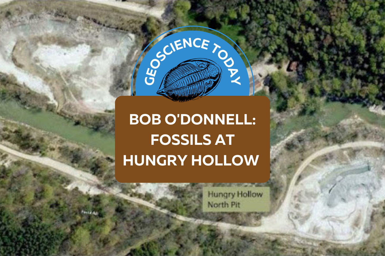
An aerial shot of two excavation sites in Hungry Hollow. On the top left of the photo a pit is labelled "Hungry Hollow South Pit." On the bottom right a pit is labelled "Hungry Hollow North Pit." On top of the photo text reads: "Geoscience Today. Bob ODonnell: Fossils at Hungry Hollow."

Bob O’Donnell: Fossils at Hungry Hollow

The fossils at Hungry Hollow in North Middlesex are mid-Devonian in age (between 393-382 million years), during a time known as the Age of Fishes. There was a warm shallow inland saltwater sea that covered Southern Ontario, making it the perfect environment for crinoids, trilobites, starfish, corals, and many more organisms. Part of the fossil-bearing area was exposed by geological processes and melt waters from retreating glaciers that carved out the gorge at Rock Glen Conservation Area.  Years ago, shales from the locally-exposed Arkona Formation were quarried for the production of drainage tiles and brick, resulting in the two quarries that are still present today. These quarries are called the Hungry Hollow North pit and South pit, and they expose a handful of sometimes fossiliferous rock layers from the mid-Devonian Period. Both quarries are presently owned by a brick company.  Over 150 years of fossil hunting in the Arkona area, including many visits by well-known paleontologists has made Hungry Hollow famous worldwide. American paleontologist James Hall studied many fossils from Hungry Hollow such as a common coral, Heliophyllum halli, which was named after him. Another American paleontologist, Niles Eldredge, also has a local fossilized organism named after him, a trilobite called Eldredgeops. Charles Southworth was a very well-known fossil collector that lived in the nearby town of Thedford. He collected so often at Hungry Hollow that he became an expert on fossils in the area. As such, many professional paleontologists sought his advice when visiting the quarries. Several fossils are named after him, such as Phacops iowensis southworthi, a rare trilobite species found in Hungry Hollow. Today, many fossil enthusiasts come to the Hungry Hollow quarries to dig. Two brothers from Michigan, Mike and John Topor, have visited the area over 500 times, and have found numerous holotype fossils (holotype fossils are the first of that species to be found and described). One of these holotype fossils is a pyritized polychaete worm that was subsequently named after the town of Arkona and the Topor brothers themselves, Arkonips topororum. Another amazing fossil they found is a 28-armed starfish named Arkonaster topororum. Several fossils have been named after towns in the area such as a brachiopod named after the town of Arkona, Mucrospirifier arkonensis, and the town of Thedford, Mucrospirifer thedfordensis, and even the former town of Widder has a fossilized trilobite named after it, Greenops widderensis. Latin words are often used when naming fossils. For example, Microcyclus is Latin for “small wheel”. Microcyclus is a small coral that looks like a thin round wheel or button. The brachiopod fossil Petrocrania hamiltoniae is named after a collection of rock units in southern Ontario known as the Hamilton Group, that is mid Devonian in age. There are many fossils that have been found in the area that are named after paleontologists, collectors, and local town names. It is a reflection of why Hungry Hollow is so important and known worldwide.  The rock formation at the bottom of the quarry at Hungry Hollow is the Arkona Formation. It is a bluish coloured shale that is 20 metres thick, and contains fossils such as crinoids, trilobites, brachiopods, gastropods, cephalopods, pelecypods, corals, bryozoans, phyllocarids, starfish, brittlestars, and more.  The rock formation that lies above the Arkona Formation is the Hungry Hollow Member of the Widder Formation. It is two metres thick. The lower (older) half  is called the encrinal unit, and is a grey limestone that is rich in crinoid fossils. The upper (younger) half is a soft shale that is rich in fossilized corals, bryozoans, trilobites, and crinoids. Near the base of the Hungry Hollow Member is a layer of black shale that is rich in a fossilized brachiopod species called Leiorhynchus. This black shale represents a period of time when oxygen levels were low. Above the Hungry Hollow Member is the Widder Formation, which is not exposed in the Hungry Hollow North and South pits. It is, however, exposed on the north and south banks along the Ausable River, which runs between the two quarries. The Widder Formation is exposed high on the cliffs and is approximately 14 metres thick. It is a succession of grey, calcareous shale with thin limestone layers, and contains fossilized trilobites, phyllocarids, cephalopods, pelecypods, crinoids, and gastropods.   A wide variety of microfossils can be found in the area such as fish scales, fish and sharks’ teeth, conodont and scolecodont jaw elements, ostracods, and more. Throughout the formations you can find fossils that look like gold; however, they are not. These fossils have been pyritized, which occurs in oxygen-poor environments, when bacteria breaks down the original organic material, replacing it with pyrite (FeS2). The Widder Formation contains cephalopods that are completely pyritized, making them look like a gold spear or spike. Epifauna are animals that live attached to the seafloor or on the surfaces of other aquatic organisms. The fossils of these types of animals (e.g., bryozoans) are common at Hungry Hollow. There has been much research done on the fossils and formations at Hungry Hollow. One study in particular used fossilized corals from Hungry Hollow to infer mid-Devonian climate, and the degree of current turbidity (a measure of the cloudiness of water) in the marine environment in which the coral lived. The coral’s eating habits were investigated by cutting corals from the cup to the tip. The thicknesses of the growth layers was an indicator of food availability. Interestingly, if all the lines on the exterior of the coral are present, you can count them (under a microscope) from the tip to the cup to determine its age when it died.  Much information has been collected about the paleoenvironment at Hungry Hollow just by looking at the small, conical shells of Tentaculites, found in the Arkona Formation. If all the fossils of Tentaculites are aligned (end-to-end) in the same orientation, it is a good indicator of the direction of the water current, as the force of the current would have aligned the shells in the same direction.  After

Read More »
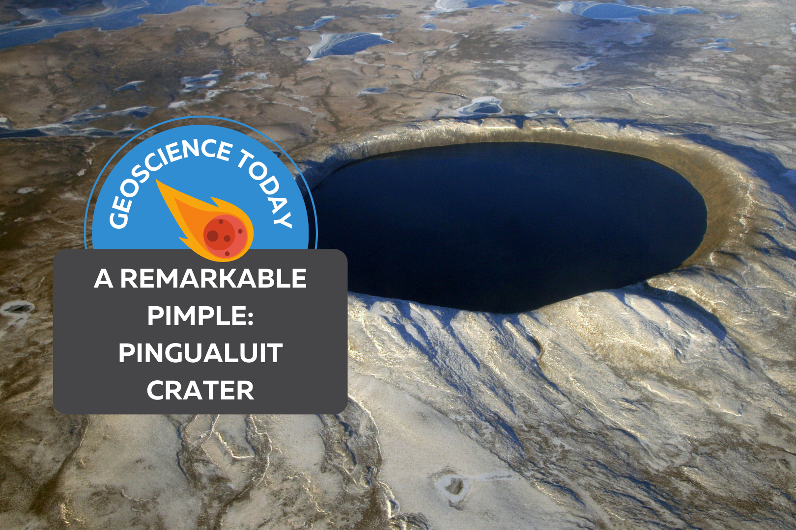
An aerial shot of Pingualuit crater filled with dark water. On top of the image text reads: "Geoscience Today. A Remarkable Pimple: Pingualuit Crater."

A Remarkable Pimple

Excerpted from The Last Speaker of Bear by Lawrence Millman published by Trinity University Press. For more information, please visit tupress.org. Reprinted courtesy of Trinity University Press. A meteorite 400 feet in diameter whisks through the atmosphere in a fiery flash. Traveling at 20 miles per second, it slams into the earth, sending boulder-sized rocks flying off in all directions as well as excavating a gaping hole in the earth’s crust. Some 1.4 million years later, I was seated in a Twin Otter aircraft flying over northern Quebec’s Nunavik region and looking out the window at the seemingly endless tundra. Suddenly I saw a perfectly circular blue eye — the meteorite’s crater filled with water. Formerly called Chubb Crater, it now bears the Inuit name Pingualuit, a word that simply means pimple. Being three miles wide, the crater is a rather large pimple. On landing near the crater, an Inuk named Yaakaa greeted me and showed me where I should pitch my tent. During my visit, I encountered a totally pristine habitat, with none of the broken-down ATVs, candy bar wrappers, or potato chip bags that litter so many other parts of the Canadian North. Apart from a few old Inuit fox traps, there was no evidence that my litter-minded species had spent any time here.   The day after my arrival, Yaakaa and I climbed up the slope cluttered with the granitic boulders that had been ejected by the meteorite’s original impact. Each of these boulders displayed a design created by lichens such as the cartographic Rhizocarpon geographicum and the bright orange Xanthoria elegans. After little more than an hour, we were standing at the crater’s rim, and I looked down at the huge circular lake that I’d seen from the air. The water was the bluest blue I’d ever seen. “We call this lake ‘The Crystal Eye of Nunavik,’” Yaakaa said, “and it may have the purest water of any lake in the world.”    We walked around the edge to a spot where the slope down to the lake was the least steep. As we hiked down, the quietude was interrupted by severaI loud maniacal laughs, followed by a sound similar to an explosion.    I wondered: Was the Crystal Eye looking at me, an outsider? Not at all. The inside of the crater was a giant amphitheater, and its walls amplified any sound inside it. What I heard was a couple of loons chortling at each other and diving for fish. The splashes from their dives were the explosions. When we reached the bottom, I cupped my hands in the lake, then raised them to my mouth. I tasted a rich, full flavour that made all the other water I’d ever tasted seem tacky as well as downright dull. As we were hiking back up to the rim, I could still hear the loons screaming wahoo! quarpp! wahoo wahoo! Since loons are among the very last birds to migrate south for the winter, they would probably be screaming in this fashion right up until the time the lake froze. When we reached the top of the crater, and before heading down the other side, I stared one last time at the remarkable blue eye that seemed to be staring directly at me. The Last Speaker of Bear © 2022 Lawrence Millman Author-explorer-mycologist Lawrence Millman is the author of 19 books, including such titles as Last Places, Northern Latitudes, Fungipedia, A Kayak Full of Ghosts, Hiking to Siberia, and — forthcoming — The Last Speaker of Bear. His compass invariably points North; he has made more than 35 trips and expeditions to the North, but he’s never been to Rome. As a mycologist, he found a fungus in 2006 that had been declared extinct in 1909. He keeps a post office box in Cambridge, MA, USA.

Read More »
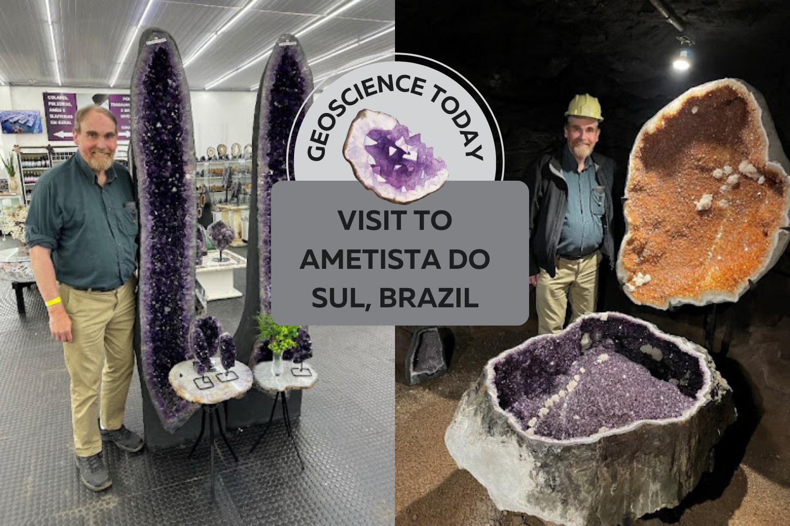
Two photos side by side showing a man standing beside large amethyst geodes. Text in front of the photos reads "Geoscience Today: Visit to Ametisto so Sul, Brazil"

Visit to Ametista do Sul, Brazil

Brazil has long been famous for its tremendous amethyst deposits. I recently checked off a major bucket list item by visiting Ametista do Sul, which is in the northern part of the state of Rio Grande do Sul in southwestern Brazil. This is the main area that produces Brazil’s famous amethyst geodes. Production is about 400 tonnes per month. These geodes occur in basaltic volcanic flows formed about 130 million years ago.   Typically, geodes form in a spherical cap-shape, sometimes elongated vertically. The outer layer of the geode is made of celadonite, a dark green mineral in the mica family. This outer layer is very useful to miners looking for geodes, as the dark green celadonite is easily recognizable. Under the celadonite there is a layer of agate (chalcedony), then colourless quartz, then finally amethystine quartz. At Ametista do Sul, the geodes occur in a 40 to 50m thick basaltic lava flow that formed in the Lower Cretaceous period. When the lava formed, there were especially large gas bubbles trapped in the rock. Water entered the empty spaces through fractures, over time forming the amethyst geodes. First stop was at the Belvedere mine, which has a terrific underground tour including a demonstration of drilling with an old jackleg and an actual blast. They use black power, which is a low impact explosive (gunpowder), to just gently break the rock around the geodes, which are then carefully excavated by hand using chisels. When a geode is located, the miners make a small hole in it and then put a light inside to evaluate the quality of the amethyst. The value of the geode increases the darker the purple and the larger the crystals. Sizes of geodes are very variable but can be up to as much as 3 metres long. The mine has a magnificent display of amethyst geodes in their underground gallery, which you can see in the accompanying photos. These geodes are enormous – up to about 2 metres long by 1 metre wide. Several are accompanied by very beautiful carvings in basalt. Several geodes of citrine are also on display. Geodes with low quality colour are typically heated to form yellow citrine. This converts ferrous iron to oxidized ferric iron causing the colour change. The majority of citrine is formed by heating amethyst as it rarely occurs naturally. In addition to its mine tour and extensive gallery, the mine also has an underground wine bar where you can sample wines made in the area and pick up a bottle or two (which I did). This is also a remarkable underground restaurant at the Belvedere Hotel.  Every table has an enormous geode in the middle of it covered by glass. You can also see some geodes in the wall of the mine and there are some fabulous geodes also on display. In addition, there is an underground pool and hot tub next to the restaurant for hotel guests to relax in. Clearly the hotel is doing very well as it has embarked on a major expansion to its facilities adding a series of cabins and a new major display area. After the marvellous mine tour and lunch, we then went into the centre of town to visit a huge rock and mineral store called LP Minerais (lpminerais.com.br) in downtown Ametista do Sul.  I have never seen so much amethyst, agate, rock carvings, etc, in one place.  It was spectacular.  The back room was filled with more amethyst geodes waiting to be sold and shipped.  I picked up some terrific samples to take home!  This was an absolutely amazing day!! Dr. Bill Pearson, P.Geo. has over 40 years of experience in the national and international mining industry and has carried out exploration and development programs in 17 countries around the world.  He is formerly Vice President, Exploration for Desert Sun Mining Corp. (prior to April 2006 takeover by Yamana Gold Inc.), Executive Vice President, Exploration for Central Sun (prior to April 2009 takeover by B2Gold Inc.) and is currently President & CEO of Coastal Gold Corp., a junior mining company whose principal project is in southwestern Newfoundland. Dr. Pearson is the recipient of the 2015 PDAC Distinguished Service Award for his service to Canada’s Mineral and Exploration Industry. He convened the first meeting of the Committee for the Professional Registration of Geoscientists of Ontario (CPRGO) in March 1989, which he chaired for seven years. He was President of the Association of Geoscientists of Ontario (AGO) from 1996 to 2000 and was the founding President of Professional Geoscientists Ontario (PGO) from 2000 to 2003. In addition to his work for the geoscience profession in Ontario, Dr. Pearson was instrumental in the formation of the Canadian Council of Professional Geoscientists (CCPG now Geoscientists Canada), where he served as one of CCPG’s founding directors.  He is founder and Chair of the APGO Education Foundation.

Read More »