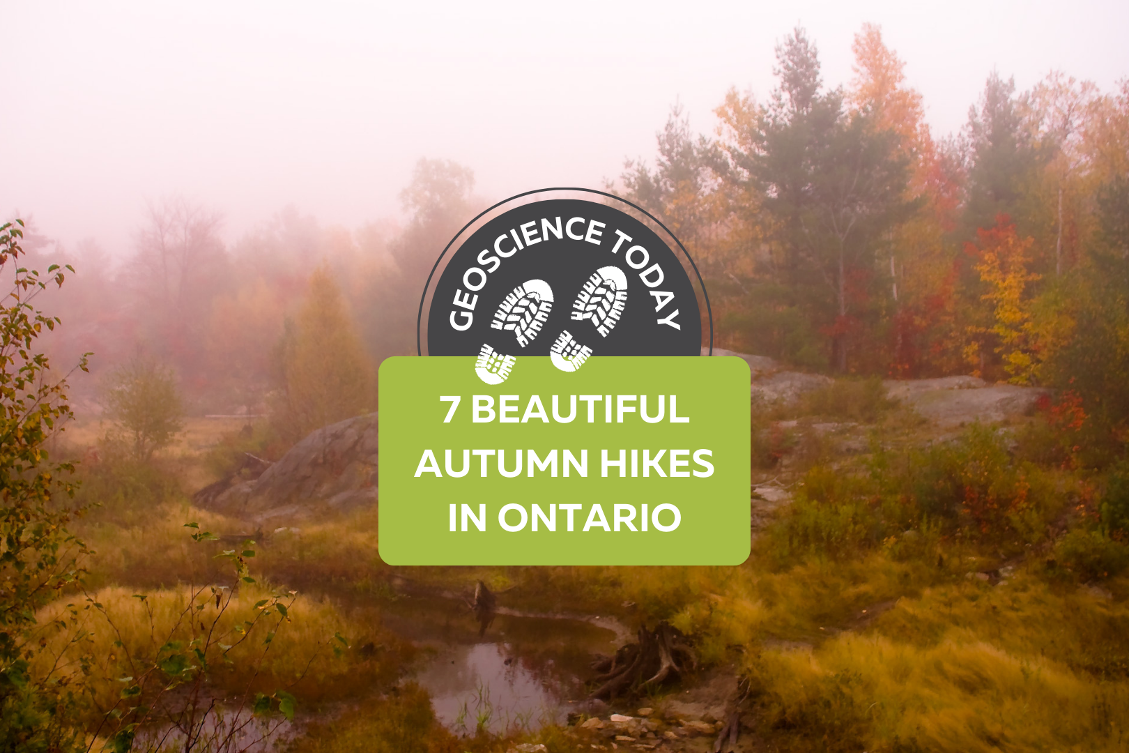
Landscape with mossy boulders and shrubs with a forest in the background. There is fog making the photo blurry. Text on the photo reads: "Geoscience Today. 7 Beautiful Autumn Hikes in Ontario"

7 Beautiful Autumn Hikes in Ontario

Looking to explore Ontario this fall season? Autumn is one of the best times to grab a warm drink and get outside to appreciate the colourful landscape.  Here’s a list of some of the best hiking spots across Ontario. Each of these places has a unique history, geology, flora, and fauna. The fall colours in Ontario are generally best between mid-September and mid-October, but Ontario Parks also publishes a map showing the changing colours across Provincial Parks in Ontario! The fall colour map is updated weekly with current colours at each park, so make sure to check it out before you go! If you do go to any of these locations, be sure to come prepared with water, snacks, and emergency first aid. Please check the park or trail’s website before going to ensure they are open and see if you need to pre-book a parking spot. Some places close late October for the winter season, so make sure to double check that the trail is open before you leave. In order from south to north, here are the hikes to check out this fall: Point Pelee is at the southernmost point in Ontario, and is known for its diversity of ecology and wildlife. The autumn season sees visits from migrating Monarch butterflies on their way south. Visit the park from late August to mid-October in the early morning or just before sunset for a chance to view these gorgeous migrating butterflies. Point Pelee has a diverse mix of ecosystems including the Lake Erie Sand Spit Savannah – a unique mix of Red Cedar Savannah, Shoreline Savannah, and woodland. The difference between a savannah and a woodland or a forest has to do with the amount of light that reaches the undergrowth. In a savannah, less than 25% of the ground is covered by the canopy, allowing light-loving plants to grow underneath the trees. A woodland is defined by 25-50% canopy cover, and more than 50% cover is a forest.  At Point Pelee you can also find a large marsh home to frogs, turtles, muskrats, snakes, insects, fish, and zooplankton; a swamp forest home to many species of birds, frogs and butterflies; and a dry forest with unique trees and wildflowers. Learn more about the ecology of Point Pelee on the Government of Canada website or on the Ontario Parks Blog. The hiking and walking trails at Point Pelee are also accessible to strollers and wheelchairs. Check out the trail maps here to plan your visit. 2. Dundas Peak Dundas Peak in Hamilton Ontario is surrounded on all sides by a gorgeous deciduous forest full of vibrant autumn colours. Standing on a large outcrop on the Niagara Escarpment, Dundas Peak overlooks the Spencer Gorge to the cliffs of the Escarpment beyond. Dundas Peak is located in the popular Spencer Gorge Conservation Area, where visitors come to see either the view from the peak or the two large waterfalls in the area. Note that entering the conservation area requires a booked appointment and a paid parking spot. Please read the Conservation Hamilton website carefully before you go, as they have recently made changes to limit the number of people on the trails. If you want to avoid the crowds, local blogger Lauren Yakiwchuk recommends the Sydenham lookout as a good alternative to Dundas Peak with almost the same view. 3. Pinery Provincial Park Pinery Provincial Park lies on the shores of Lake Huron and boasts beautiful oak trees. Due to its southern location and the moderating effect of Lake Huron, the trees at Pinery change colour later in the fall season and will be at their peak between mid-October and early-November. Pinery is also home to a very rare ecosystem – an oak savannah.  Not only is the savannah rare, but the very landforms that make up Pinery Provincial Park are also unique. Pinery is situated on sand dunes formed over the last 6,000 years. Did you know that less than 0.5% of Ontario is made up of coastal sand dunes? About 7,500 years ago, most of southern Ontario was covered in one large lake called Lake Nipissing. As Lake Nipissing receded, sand and rocks were moved southward along the Eastern coast of Lake Huron from Grand Bend towards Kettle Point (see map below). Checkout the Friends of Pinery website for different hikes to try at Pinery. Creation of Dunes at Pinery Provincial Park. © King’s Printer for Ontario, 2019. 4. The Cheltenham Badlands The Cheltenham Badlands are famous for their unique geological formation. The rolling red rocks were formed 450 million years ago at the bottom of a lake. These rocks, part of the Queenston Shale Formation, were exposed over the years due to poor farming practices that eroded the topsoil. The red rocks match the red autumn leaves in the fall, adding to the magic of the landscape. There is also a 1.4 km hike in the conservation area that takes you through the forest surrounding the exposed rocks. The conservation area was previously closed to the public in order to preserve the rocks, but has since been reopened with a boardwalk over the rocks. The boardwalk is wheelchair accessible and there are educational information signs along it. You can no longer walk on the rocks in order to preserve them and prevent quick erosion of the landform. Make sure to go to the Cheltenham Badlands website to book a spot at least one day before you go. 5. Algonquin Provincial Park Algonquin is famous for its expansive forest and wildlife. Algonquin has forests of sugar maples and red maples, which turn brilliant orange and red colours in the fall. The colours will be at their best between mid-September and mid-October. There are so many walking trails that it can be hard to choose which one to do. Even if you visit Algonquin many times, there is always something new to see. The Fire Tower Trail in particular has a great lookout over the fall colours at the
Read More »
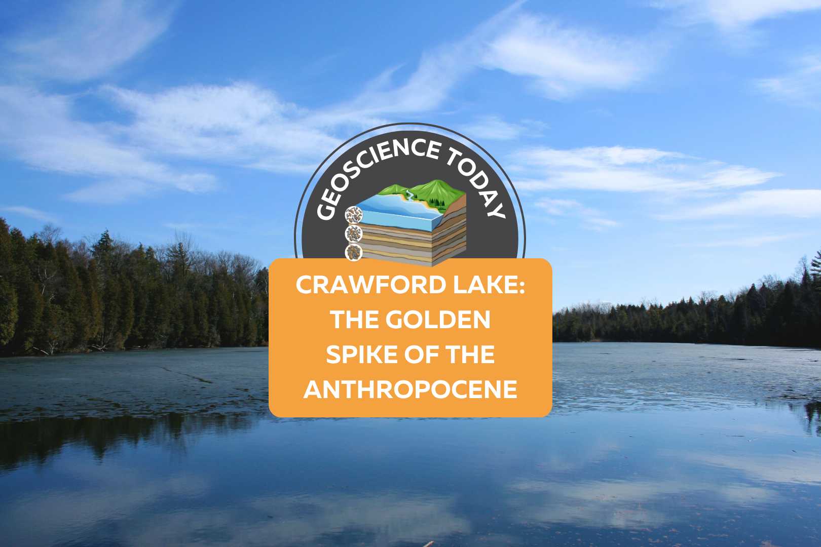
A still, flat lake with evergreen trees on the opposite shore and a blue sky above. On top of the photo text reads: Geoscience Today. Crawford Lake: The Golden Spike of the Anthropocene.

Crawford Lake: The Golden Spike of the Anthropocene

Crawford Lake is a small lake near Milton Ontario, also called “Kionywarihwaen” meaning “where we have a story to tell” in the Wendat language. The lake was just designated as the “Golden Spike” for Earth’s proposed new epoch: The Anthropocene. The lake represents an extremely well preserved example of the impact humans have had on the geology and environment of the Earth in the last century. If the Anthropocene is officially accepted as a new epoch, then Crawford Lake will receive a physical golden spike in the rock to highlight the sediment layers that signal the new epoch. First, let’s back up a bit: What exactly is an epoch? And what is the Anthropocene? You may have seen a graph such as the one below that demonstrates the segments of geologic time. An epoch is one of the categories of time on the geologic time scale. From largest to smallest, the categories are: eon, era, period, epoch, and age. Each of these categories is separated by a significant event in geologic history, for example, the asteroid that finished off the dinosaurs defines the end of the Cretaceous period and the start of the Tertiary period. The Anthropocene is a potential new epoch that is proposed to have started around 1950. This epoch is defined by human impact on the Earth’s climate, environment and geology. Many geologists argue that the impacts of human development can be seen in the rock record, and mark a distinct change from the geology of the Earth pre-1950. So what does this have to do with a small lake near Milton, Ontario? Crawford Lake has a very unique ecosystem. The different levels of water in Crawford Lake do not mix together. The lake is very deep and not very wide, so the top layers of the water do not mix with the bottom layers. Lakes like this are called meromictic. Although in most meromictic lakes the bottom layer of water is oxygen-depleted, in Crawford Lake, the whole water column is oxygenated, making it especially unique. The layers of water at the bottom of the lake are virtually undisturbed by currents. The lack of sea life in the deep of the lake also ensures that the sediments are not disturbed from burrowing organisms. These unique features of Crawford Lake mean that each layer of sediment is not mixed with the last, and each yearly deposition of sediment can be distinguished from the last. There is nearly 10,000 years of layering that can be seen at the bottom of Crawford Lake. When geoscientists first recognized this, they were excited to find corn pollen preserved in layers from the Middle Ages, supporting the theory that the peoples of the time were farming corn. This also led to the discovery of a nearby Indigenous settlement with longhouses from the 15th Century. Now however, the layers are being examined again for evidence of human-related change. An increase in carbon-based particles in the 1950s reflects the increase in coal-fired steel-making in nearby Hamilton, Ontario. Nuclear testing has created an increase in plutonium in some of the layers. Additionally, nitrogen isotopes have been changed due to fertilizers and there’s evidence of acid rain. These are all further evidence that support the Anthropocene. So what happens next? The Anthropocene Working Group, part of the International Commission on Stratigraphy, is still determining whether or not the evidence supports the proposed epoch. It’s still possible that the International Commission on Stratigraphy will ultimately decide that there is not enough evidence to proclaim the start of the Anthropocene. Alternatively, they could decide that the Crawfordian age has begun, but that we are still in the Holocene epoch. Or they will accept the Anthropocene epoch and the Crawfordian era as the newest unit of geological time. If this happens, this will be the first epoch influenced by and observed by humans. It will also represent concrete evidence that humans have irreversibly changed the nature of the Earth down to even the rock record. This is a huge step forward in scientific knowledge and understanding of the interactions between humans and geology. For more information about Crawford Lake, check out this interactive illustrated article from the Washington Post. Sources: CBC Canada’s Crawford Lake chosen as ‘golden spike’ to mark proposed new epoch CBC A new geological epoch, the Anthropocene, has begun, scientists say Yale Environment: A Golden Spike Would Mark the Earth’s Next Epoch: But Where? The Washington Post: Crawford Lake shows humans started a new chapter in geologic time, scientists say Canadian Geographic: The Anthropocene is here — and tiny Crawford Lake has been chosen as the global ground zero Conservation Halton: Crawford Lake Studies International Society for Diatom Research: A small lake with a large story to tell: what does it take to represent an Epoch Veronica Klassen is the Manager of the Foundation’s blog – Beneath Your Feet: A Geoscience Blog. She studied Arts and Science at McMaster University with a minor in Earth Science and has a Master’s in Science Communication from Laurentian University. She is passionate about making science accessible and engaging to the public.

Read More »
Aerial view of a landscape with rolling hills, a valley, and a river. On top of the photo text reads: "Geo Careers. Mary-Anne Hildebrandt." with the icon of a pickaxe hitting a rock.

Geo Careers: Mary-Anne Hildebrandt

What is a career? Merriam-Webster defines career as “a profession for which one trains, and which is undertaken as a permanent calling.” With more workplaces embracing the idea of flexibility, the weight of words like “permanent” and “calling” evoke something else entirely. Career originates from the Latin carrus, as in a wheeled cart, which some interpret to mean chariot (Online Etymology Dictionary, n.d.). It sounds a great deal more epic than logging into a laptop for another Zoom call. Imagine you and your coworkers embarking on a journey in chariots each day. Surely, with that as your vision, nothing is out of reach. So, what do you do for a living? It’s a common question for any social gathering, and yet, my answer is met with surprise. People are surprised to learn that I am not a teacher or nurse or some other career that matches their perception of who I am. No one has ever guessed that I am a geoscientist. Why? Do I not look or sound like a geologist? This encounter is not exclusive to the public. In truth, I’ve even been mistaken for an administrative assistant when standing in my office wearing head to toe safety gear surrounded by rock samples, and that’s not to say administration staff don’t do field work. They most certainly can and do! It’s that everyone carries bias, and when no other information is available, we fill in the missing data with assumptions based on our own perceptions of the world. Even recently at PDAC, I was asked if I was there as a member of the media, and not a geologist. Who knew that you could work in an industry for 17 years and still feel at times that you don’t quite fit other people’s perceptions of your job title. Every day there are lessons, and some are only learned much later.  When I left university for my first summer field position in 2006, I intended to return for a Master of Science, but looming student debt and other family obligations drove me to stay in the industry. I dreamed about continuing to hone my skills in the areas of geoscience that I enjoyed. Early on, I had a conversation with a manager of a team I wanted to join about my career aspirations, and he tried to put an end to those dreams. He explained that no company would invest their finite resources to support my development in this field because I was a woman, and at the age of 25, I was too old. In his experience, it wouldn’t be long before I would marry, have children, and pursue a different career. I left that conversation feeling devastated because this manager was someone that I truly respected. At the time, I didn’t know how to challenge the underlying beliefs and assumptions that he had conveyed about me. I questioned whether saying anything at all would make a difference. Who was he to decide what my future would hold? That evening, I resolved to not let his ignorance define me.   Did you stay in Geoscience? I have had the good fortune to have worked in the field of geoscience since graduating and successfully achieved my designation as a Professional Geoscientist (P.Geo.) in 2017. Drilling, sampling, mapping, and modelling led me to a deeper understanding of the influence of geological processes, sample bias, and error within spatial models and mineral estimates. In addition, the depth and breadth of the technical projects I have been able to work on has increased not only my technical skills but also my leadership skills. After working for several years as the person performing the annual reconciliation for Mineral Resources and co-authoring the technical report on the resource, I was appointed to carry out the duties of Competent Person (as defined in the SAMREC and the JORC codes) for the deposit I had spent years mapping and modelling. A Competent Person is responsible for preparing the technical report used for public disclosure of a Mineral Resource and Reserve. In the Canadian context, a CP would be similar to a Qualified Person or QP under the National Instrument 43-101 Standard. CPs, like QPs, are considered to be competent to sign-off because they meet or exceed the knowledge requirements and have enough time working in a particular commodity, like gold. There are other requirements, and for those working in the industry, it is best to be well-versed in the governing code or standard for your jurisdiction. It’s an incredibly important responsibility that cannot be taken lightly, and I was honoured to know that those in power trusted my capabilities to appoint me into that role. Although I enjoy the technical aspects of my work, I have found mentoring and coaching others to be equally, if not more, rewarding. My career has carried me to remote areas across Canada and even overseas to Botswana and South Africa. I am forever grateful to have been mentored and supervised by professionals who are highly respected in their field. These are the people who saw the value I could add to a team and a project, and they were instrumental in why I stayed the course. I found professionals from all disciplines were always there to lend a hand or an ear to help find a solution to the latest problem.  One project that I had been assigned was to create a spatial estimate for a stockpile. This was not the norm and fell outside of our regular workflow. A stockpile is not an in-situ deposit. To use it in a business plan, my work still needed to answer similar questions that would be asked during mineral classification of an in-situ deposit. There are a number of factors involved in this work, but to keep this brief, these are the types of questions that needed to be considered: How did the mining team place the rock? Do we have confidence in the volume of the stockpile? How was the volume measured? At what frequency was the volume measured? Do

Read More »
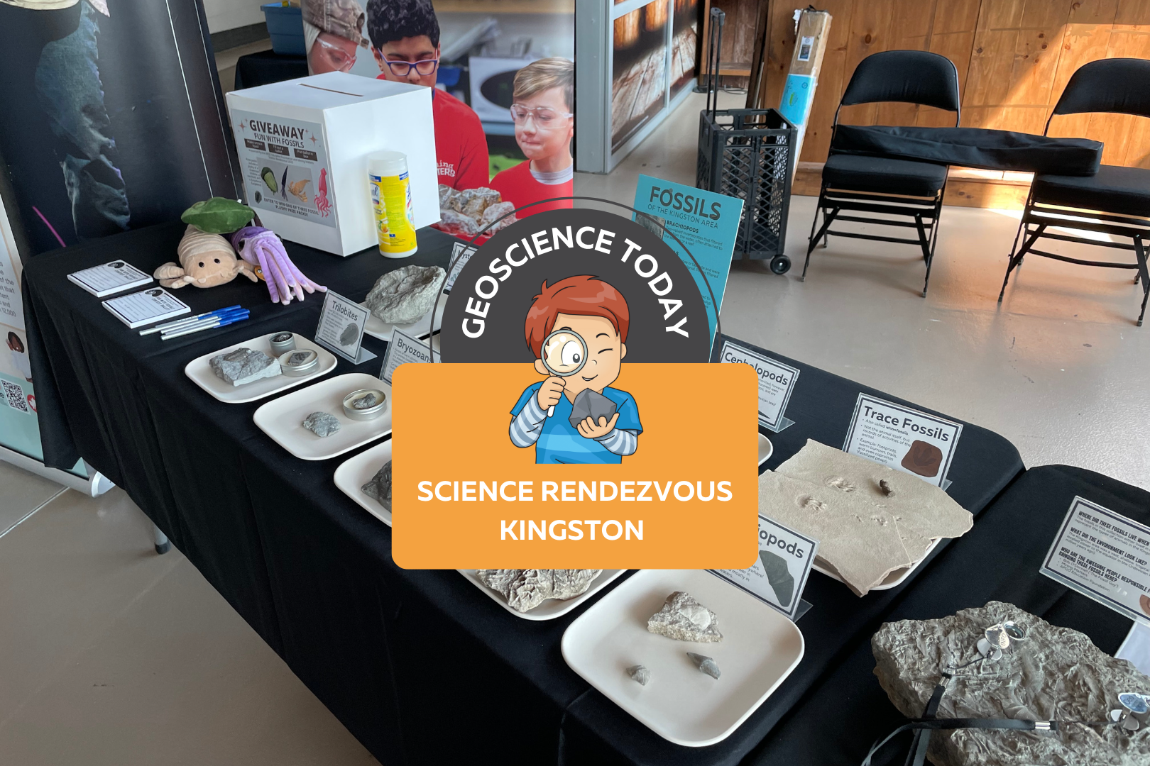
The APGOEF table at Science Rendezvous with fossils and stuffed animals. On top of the image text reads "Geoscience today: Science Rendezvous Kingston"

AGPOEF at Science Rendezvous Kingston

The APGO Education Foundation was excited to participate in Science Rendezvous in Kingston on May 13th, 2023! APGOEF has attended Science Rendezvous Kingston in previous years, and it has always been an incredible outreach event.  The day started with opening ceremonies where the official town crier announced the decision to make May 13th, 2023, the official “Science Rendezvous Day.” The town crier along with the mayor opened the doors at 10am to allow the crowd of families into the Leon’s Centre on the Tragically Hip Way by Kingston’s waterfront.  APGOEF collaborated with Mining Matters to create a fun table about the fossils of Kingston! Our booth was right next to the entrance to the Leon’s Centre and the crowd was instantly lining up to take a look at our fossils. We had an extensive fossil collection on display; some of which were donated to us by Bob O’Donnell.  We engaged kids by handing out stickers that said “I love fossils.” The kids loved them, putting them on their hands and t-shirts or tucking them away safely into their tote bags provided by Science Rendezvous. We also brought our signature colour-changing pencils, which are always a hit at any event we go to. We showed the children how, if you rub the pencil between your hands, it will change from black to pink or blue! Everyone was obsessed with the pencils and we handed out 500 or more.  We also had an interactive trace fossil activity with Play Doh. We provided an assortment of invertebrate fossils such as brachiopods, bryozoans, and corals, and encouraged people to press the fossils into the Play Doh and lift them out leaving behind a pattern. These patterns are similar to how trace fossils are made when the organism is alive, and sometimes all we have preserved of an organism is records of its behaviour in the sediment and not the animal itself! We also had some fun trace fossils on hand to surprise kids, such as footprints and coprolites (fossilized poop!) Once the kids were finished playing with the fossils and Play Doh, they moved further down the table to take a look at some cool fossil samples that could be found in the Kingston area. We explained how Kingston used to be under a massive shallow sea, and how all the sea creatures we see fossilized here used to live in the sea. We encouraged kids and parents to look around the limestones of Kingston to see some of the same fossils that were displayed here. At the end of the table we held a giveaway for three really cute fossil plushies as well as a copy of Four Billion Years and Counting, the beautifully illustrated geology textbook. We had families fill out a slip of paper answering questions about the fossils they interacted with in order to enter the giveaway. We picked three winners from the ballots the following day and mailed them their prizes. Approximately 1,300 people visited our booth during the 5 hour event. We really enjoyed talking to parents, kids, and individuals about the fossils of Kingston. A lot of the children expressed interest in fossils and some said that they had some fossils or rocks at home already. One child mentioned that he found a fossil on the way to school recently, and a few kids said that they loved dinosaurs. Although we didn’t have any dinosaurs at our table (you won’t find any dinosaur fossils in Kingston, or Ontario generally), we were still excited to connect with the kids about their passions.  The other organizations at Science Rendezvous all had incredible booths! We did not have much of a chance to walk around and see the other exhibits because we were so busy, but the whole event looked like a big success.  We would like to thank Science Rendezvous Kingston for having us again this year and for hosting such an incredible event. We also want to thank Bob O’Donnell for donating some of the beautiful fossils that really made our table a hit. We look forward to doing this again in the future!     Veronica Klassen is the Manager of the Foundation’s blog – Beneath Your Feet: A Geoscience Blog. She studied Arts and Science at McMaster University with a minor in Earth Science and has a Master’s in Science Communication from Laurentian University. She is passionate about making science accessible and engaging to the public.

Read More »
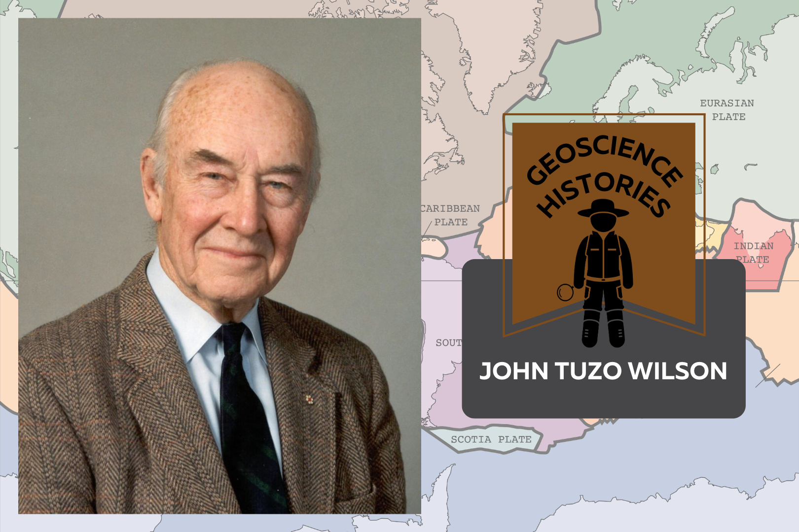
Headshot of John Tuzo Wilson beside text saying: Geoscience Histories: John Tuzo Wilson. In the background there is a colourful map of the world with the tectonic plates outlined

Geoscience Histories: John Tuzo Wilson

Canada’s history is full of geoscientists who have made important discoveries in the field of geoscience. Geoscientists work to help advance technology, solve problems, preserve the environment, and understand Earth’s processes. One important geologist in Canada’s history is John Tuzo Wilson, known for his contributions to the field of plate tectonics.  John was born in Ottawa, in 1908, to Robert Wilson and Annie Tuzo. His father worked for the Canadian government as an engineer and his mother was an adventurous mountain-climber. Annie had a mountain peak named after her, Mount Tuzo, after she and her guide, Christian Bohren, were the first people to ascend the peak. John’s interest in geology began when he was quite young, and he used to collect rocks and fossils on family trips growing up. John studied physics and geology in his undergrad at the University of Toronto (U of T), graduating in 1930. At the time there was no geophysics program at U of T, however, John found instruction wherever he could and did a joint degree instead. He then moved to England on a Massey Fellowship to study at Cambridge. John moved to Princeton for his Ph.D., completing field work on his own in the Beartooth Mountains in Montana.  After his studies, Tuzo Wilson worked for the Geological Survey of Canada as an Assistant Geologist. In 1938, John married Isabel Dickson in Ottawa. When World War II started, he joined the Royal Canadian Engineers, gaining rank to become a colonel. Isabel followed John to England to be closer to him during the war. They returned to Canada together in 1944 and he started a job as a Professor at the University of Toronto. It was here that John Wilson would spend the bulk of the rest of his career.  John Tuzo Wilson via Smorris123 at English Wikipedia, CC BY-SA 3.0, via Wikimedia Commons John’s research at U of T greatly influenced the field of plate tectonics. At the time, Alfred Wegener’s theory of continental drift was largely disputed. Wegener’s theory, published in the early 1900s, asserted that the continents move in relation to one another over long periods of time. But there were inconsistencies in his theory and a lack of evidence. John initially opposed the theory like most of his colleagues, but reconsidered his position later on. This reconsideration ultimately led to Wilson’s theory of plate tectonics.  One of John’s significant contributions to the theory of plate tectonics was the idea of “hot spots.” He drew inspiration from studying the Hawaiian Islands, theorizing that the islands were created as the Pacific tectonic plate moved northwest, over a magma plume in the mantle. This created the chain of volcanoes decreasing in size and intensity to the southwest. This theory resolved some of the contradictions in Wegener’s continental drift theory. Wegner’s theory asserted that volcanoes form solely as a result of movement at the edges of tectonic plates and so was highly disputed because of the lack of explanation for volcanoes located away from plate boundaries (such as Hawaii). Wilson’s new hot spot theory provided an explanation for why there are volcanoes in other places as well as at plate boundaries.  John’s second major discovery was that of transform faults. A transform fault occurs when two plates move past one another,  sometimes resulting in a build-up of stress (e.g., shear stress). Transform faults may cause landforms to break and move past each other, thereby looking offset from each other in aerial view. This new theory of faults explained the topography of mid-ocean ridges and greatly contributed to the larger theory of plate tectonics.  John continued to teach and research at U of T for many years, but even after he retired from the University, he continued to teach his theories, travelling to over 100 countries. He particularly loved travelling to China, and even wrote a book about his trip to China in 1958 entitled “One Chinese Moon.” He produced the tv series “Planet Earth,” and introduced many episodes, continuing his love for teaching. After Wilson retired, he became the director of the Ontario Science Centre, encouraging exploration and interest in science. He famously posted “please touch” signs on the exhibits. He wanted the centre to be a combination of artefacts and hands-on experiments, and often interacted with visitors and school groups. He also supported the introduction of travelling science exhibits in order to make science accessible to remote Ontario communities. The success of the travelling exhibits contributed to the creation of Science North in Sudbury, which Wilson supported.  John Tuzo Wilson’s many discoveries led to our current theory of plate tectonics. His willingness to test the boundaries of science is what gave him great success. His passion for teaching and love for student exploration has greatly impacted the effectiveness of science centres in Ontario.  Nick Eyles recently published a book about John Tuzo Wilson entitled “Tuzo: the unlikely revolutionary of plate tectonics.” It is an enlightening look at Tuzo’s life and career. APGOEF’s president Dr. Bill Pearson describes the book such: Nick has done a tremendous job pulling together a vast amount of historical information not just on the remarkable life and prodigious achievements of Tuzo Wilson but also documenting in fascinating detail the long and protracted battle between those that believed in a contracting earth versus those that believed in continental drift which eventually evolved into what we now know as plate tectonics…The book wonderfully documents the incredible technical revolution especially following WWII that revolutionized the science of geology and moved it rapidly forward…The account of his WWII service is outstanding, and Nick eloquently outlines how his experiences then gave Tuzo many lifelong skills in communication and leadership that would serve him well in future years…It is a fitting tribute to a remarkable man who is unquestionably Canada’s greatest geoscientist.  Dr. Bill Pearson Check out the book at the University of Toronto Press or Amazon. Sources: Brittanica: J. Tuzo Wilson The Canadian Encyclopedia: John Tuzo Wilson The Canadian Encyclopedia: John Tuzo Wilson’s Theory

Read More »
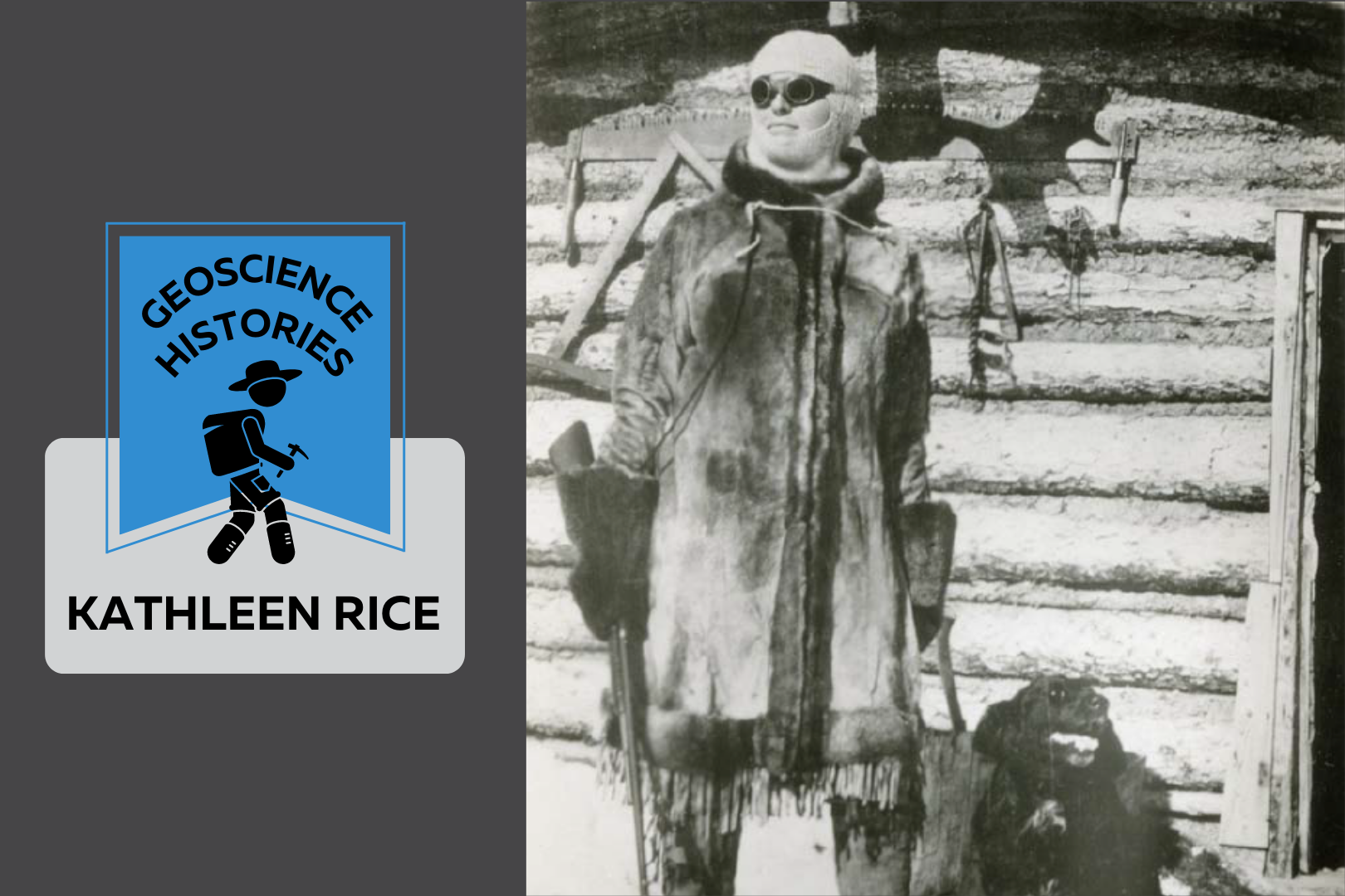
Black and white photo of Kate Rice. She stands looking into the distance dressed in a large coat and dark sunglasses. She is holding a gun and behind her is her log cabin. Beside the photo text reads: Geoscience Histories. Kate Rice.

Geoscience Histories: Kathleen Rice

Kathleen (Kate) Rice, also known as the Lady of the Lake, was an adventurer, prospector, wilderness survivalist, musher, hunter, trapper, and writer—despite living in a time where it was considered improper for middle- and upper-class women to do any of these things. She defied the expectations put on her as a single woman and lived her life in the wilderness of Northern Manitoba. She consistently chose nature over civilization and became proficient in the skills necessary to make a life for herself as a mineral prospector. Born in St. Mary’s Ontario, Kate’s parents taught her a love of nature growing up. Her dad showed her how to canoe and camp and told her stories of pioneering and exploration. Kate’s dad wanted to be an explorer himself, but instead took a more practical job teaching. Her father’s dreams and aspirations were possibly part of the reason that Kate became an explorer herself. Kate Rice studied mathematics, physics and astronomy in the early 1900s at the University of Toronto. She was awarded the prestigious Edward Blake scholarship twice and became a math teacher once she graduated. She was smart and gifted, but it wasn’t all easy going for her. When talking about teaching in a very male-dominated subject, she described that she was “constantly up against a feeling that [she] ought not to be there” (CIM Magazine). Maybe it was this feeling that drove Rice to live alone in the woods, or maybe it was simply the call of nature. In 1911, Rice moved near the Rocky Mountains for a teaching job and decided to take up mountaineering. She explored the Cascade Mountains and joined the Alpine Club of Canada, falling in love with a life outdoors. After only 5 years of teaching, she decided to give up her job and move up North to start a homestead. The Canadian government at the time was encouraging European settlers to explore the “new frontier”—Canada’s North. Of course, northern areas of Canada were not in fact new or unexplored, as Indigenous peoples had lived and travelled there since time immemorial. Kate moved up North as a colonial settler, which makes it difficult to decipher the true nature of Kate’s relationship with Indigenous people. We do know that she forged friendships with local Cree people, learned to speak Cree, and learned many life skills from her friends. However, the colonial nature of Canadian exploration adds complexity to her relationship with the Cree people which we cannot discount. Although the Canadian government wanted settlers to move up North, Kate was not legally allowed to buy land. Women weren’t considered people in Canada until 1929, so she enlisted her brother to buy a piece of land for her in his name. She bought a piece of land north of The Pas in Manitoba and she moved there in 1913. She started gardening, farming, fishing and writing, but there were many skills that she had to learn in order to survive on her own in Northern Manitoba. It was around this time that there was a gold rush near Beaver Lake. Rice decided to teach herself everything she could about geology and prospecting in the hopes of staking a claim for gold. In 1914, she hired a Cree guide to take her by dogsled to Beaver Lake. She continued from there by canoe to Brochet where she tried her hand at prospecting. She found some zinc and vanadium at Reindeer Lake, but she decided not to stake a claim there because it was inaccessible due to the lack of a railway. The following year, she hired “Old Isaac,” a local Cree elder, to take her back to Beaver Lake. She learned from Old Isaac how to shoot, hunt, trap, and mush dogs. It’s said that he called her “Mooniasquao,” or white woman. It was on this trip that she staked her first claims for gold and base metals near Beaver Lake. In 1916, she entered a prospecting partnership with Richard “Dick” Woosey. Dick had moved from England to Canada at age 25 with his wife, but his wife strongly disliked life in the bush and returned to England soon after. Dick and Kate connected and worked as prospectors together. She moved into his cabin on Chisel Lake, but despite rumours that they were romantically involved, Kate always made clear that their relationship was strictly a business partnership and friendship, nothing else. Almost 10 years later, Rice and Woosey built a cabin together on Assessment Island in Wekusko Lake. The island would later get renamed Rice Island for the 16 different prospecting claims that they made there. Woosey and Rice created the Rice Island Nickel Company in 1928 and attempted to sell their claims for $1 million. They were offered $500 000 but held out for a better offer. Instead of getting the payoff they had hoped, Kate and Dick ended up selling the claims to INCO for $20,000 many years later. Although they may not have seen much payment for the claims, Rice and Dick’s discoveries of copper and nickel were the reason that INCO originally came to Northern Manitoba, eventually turning Thompson into an important mining hub. At around 60 years old, Dick Woosey passed away, leaving Kate alone on the island. She continued to write, garden, fish, mush, and trap— taking care of the homestead for another 20 years after his death. She took her small 12ft canoe called “Duckling” on prospecting trips all over Manitoba and beyond. Kate was a skilled musher, becoming known for her ability to raise and train sled dogs, as well as mush without using a whip. She became somewhat of a local celebrity in Toronto where the rest of her family lived. Whenever she came to visit them, she would be hounded by papers wanting to write about her adventures. Although Kate never catered to the journalists, she did write several articles and scientific papers. A main topic for her writing was the Aurora Borealis because, after all, she

Read More »
Grey and red stones. Text overlay reads "Geo Careers. Sisyphus Mountain, A career reflection by Melanie Siewert, President of PGO"

Sisyphus Mountain: A Career Reflection by Melanie Siewert, President of PGO

In ancient Greek mythology, Sisyphus is known as the guy destined to push a rock up a mountain for all of eternity, with the rock rolling back to the bottom of the hill each time. For those that do not know the rest of the story, King Sisyphus was a mortal man, known for his arrogance. He made demands of the gods, claiming that his feats as a mortal made him worthy of becoming a god. He claimed he deserved, even demanded, that the gods grant him immortality. The Greek gods were ever obliging but in their twisted way, their gifts were rarely without a price. It is thought that the gods responded to King Sisyphus’ arrogance by rewarding him with a lesson in humility. This story of incessant effort with no reward is often used as a metaphor for our daily slog –  wake up, go to work, put in your hours, come home, go to sleep and do it all over again tomorrow. If this is what you are doing, you are not living a fulfilling career. You are merely collecting a pay cheque. It shouldn’t be that way! After over twenty years practicing as a geoscientist, I often get questions about what I like about my profession and what keeps me engaged. Indefinitely, my answer revolves around lifelong learning. I’ve seen a lot of change in the industry over my time. When I started in the industry, I thought it was about soil, rocks, water and their interactions with contaminants. Since that time, I’ve learned that a career in environmental consulting is about much more than the physical matrices we assess. I’ve learned about various site characterization and remediation technologies, human health and ecological risk assessment, ecological considerations, environmental liability and legal considerations. I’ve seen regulation changes that made previously ‘clean’ sites contaminated once more. I’ve even seen the evolution of methods to deal with contaminants of concern that had not even been identified when I first started practicing. Over the years, I’ve learned invaluable lessons about health and safety, professional ethics, client satisfaction and staff motivation. Some lessons were not necessarily by choice, like experiencing the look of disdain on the face of a driller’s helper that I sent home because he showed up at the drill site in running shoes or experiencing the gut-wrenching feeling of shutting down a job site after hitting a buried line after the public utility locator rushed and missed a traffic line. Other lessons are earned, like the understanding of how different contaminant plumes migrate and the telling evidence to suggest a commingled plume. And some lessons come from investing 10,000 hours in listening to client needs and learning how to tailor the products we provide to satisfy project specific objectives.  One of the most fulfilling aspects of my profession is passing those lessons on to the next generation of professionals: explaining the importance of listening to clients and hearing what drives their decisions. Is it fear of a health and safety incident or fear of a financial audit? Or is their priority protecting site aesthetics like a showcased tulip garden at a public park or avoiding disruptions to site operations like a profitable coffee drive through at a gas station. Or teaching reporting staff that how we present results can be as important as the actual results. I had a tough lesson very early in my career that always stuck with me. A reporter from a small town newspaper took a sentence from my publicly accessible environmental report and presented it out of context. It left me keenly aware of the importance of making every sentence count. I am immensely proud to know that young professionals that I have mentored over my career are now found throughout our industry in regulatory positions.  In my career, I’ve been blessed with daily challenges and opportunities for problem solving. I once visited a job site to perform a safety observation on field staff. Instead, we spent most of our time troubleshooting our drilling location as site logistics wouldn’t allow us to place the borehole where we needed to characterize soil contamination. Sitting in the van after finding a workable solution, he asked me “Have you ever had a job run exactly as planned?” I searched my memory bank and came up with nothing. Consulting is an industry of thinking on our feet and managing change. That same individual from the van left me thoroughly impressed when he applied his determination to a monitoring site where we had “lost” a well for several monitoring events. Other monitoring teams had been to the site and reported back that they couldn’t find the well based on the measurements provided. I remember the look on that determined individual’s face when he said “I saw that well before. I know I can find it.”  And he did! It had incorrectly been recorded relative to two adjacent survey pins; when he shifted his search to the next set of pins, the well was at the exact measurements provided on the figure. I find I have met the most interesting people over the years because consulting attracts people that thrive in an environment of discovery and change. For my part, I have never shied away from accepting those opportunities.  I’ve learned that geoscience is more than geology. You need to be part historian and part detective to piece together a complete conceptual site model. You need to be part interpreter and part politician to bring the right group of technical experts to the table to collaborate on multidisciplinary projects. Any environmental consultant will tell you that there is never a dull moment. We are masters in logistics and contingency planning. If your day to day feels like you are merely punching a time clock, perhaps you are not listening to what the universe is offering.  So back to the guy with the rock. There is an alternate theory to explain the lesson the Greek gods had for King Sissyphus. In

Read More »
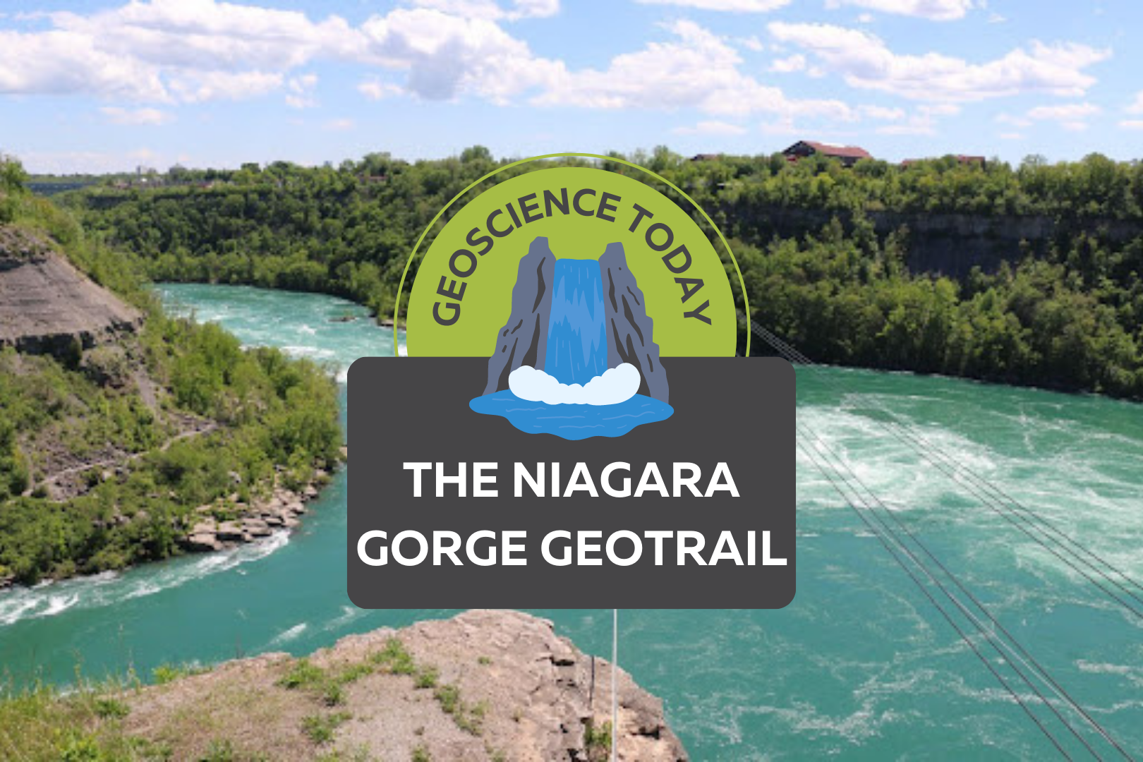
Aerial image of a turqoise river with white water. Surrounding the river is cliffs with greenery. Text on top of the photo reads "Geoscience Today. The Niagara Gorge Geotrail."

The Niagara Gorge Geotrail

The beautiful Niagara Gorge is made up of steep walls that rise on either side of the Niagara River, downstream of Niagara Falls, extending to Queenston, Ontario (and Lewiston, New York, depending which side of the river you’re standing on). The gorge itself is a geoscientist’s dream. The colourful rock units that lie one on top of the other may look like layers on a wedding cake but are in fact more like pages of a really good book (see image 1). Our book begins in the Late Ordovician Period, approximately 448 million years ago, at the bottom of the gorge, just above the river’s surface, with a long and juicy chapter called the Queenston Shale. The plot oscillates throughout the book as you read upwards through chapters of dolostone, limestone, sandstone, and shale. The book ends powerfully (note: spoilers ahead) in the Late Silurian Period (about 425 million years ago) with the limestones and dolostones of the Lockport Group, located at the very top of the gorge. The composition of each rock unit can tell us so much information about what the environment was like here, water depth, the types of organisms that lived at the time that the sediment was deposited, and much more. We don’t see giant 11-kilometre-long rock walls like this everywhere, so who or what do we have to thank for this geologic feature? Turns out, it’s just water being water. Southern Ontario has been through its fair share of glacial events. The most recent glacial event, called the Wisconsin Glaciation, lasted roughly 75,000 to 11,000 years ago. The amount of ice that was present in the area cannot be overstated; an ice sheet approximately 1-3 kilometres thick covered the Niagara region! As you can imagine, once this ice started to melt, it produced massive amounts of water. It was all this water that reshaped the water landscape of Ontario, creating new lakes, rivers, and streams, in addition to carving out land features that affect drainage patterns. The Niagara River was formed from this glacial meltwater, as it flowed from early Lake Erie to what is now Lake Ontario (but was the ancient Lake Iroquois at the time). When the Niagara River first started to flow, it would fall over the Niagara Escarpment at its original location, flush with the rest of the escarpment in the Queenston area. It didn’t take long, however, for the water to start eroding away at the escarpment in the river channel (see image 2). The rock units of the escarpment vary in their resistance to erosion. Shale, for example, is more easily eroded by fast-flowing water than limestone. As such, these rock units would erode away first beneath the top Lockport Group layer of dolostone and limestone (we call this top erosion-resistant layer a “caprock”), which would eventually lead to the dolostone/limestone caprock breaking off due to a lack of underlying support. Over the last 12,000 years, Niagara Falls has moved upstream (due to erosion) approximately 11 km! This makes it one of the fastest moving waterfalls in the world (see video below)! Even though Niagara Falls gets all the glory, no trip to the area would be complete without visiting the Whirlpool. Located downstream from the falls, it has a maximum depth of 83 metres and produces such powerful currents that the resulting change in water levels resembles marine tides (see image 3)! When the falls eroded from the rest of the Niagara Escarpment to the location of the Whirlpool, it began to erode through the ancient glacial sediments that had filled in the St. David’s Buried Gorge. These glacial sediments were less resistant to erosion than the surrounding Paleozoic sediments, so more erosion occurred here, forming a wider section of the gorge. This also caused the Niagara River to change direction; this direction change is responsible for the turbulent waters in the Whirlpool (see image 4). The Niagara Whirlpool area has some fantastic geology that can be visited in person, but you have to know where to look. The Niagara Gorge Geotrail, available through GeoscienceINFO.com is a great resource that not only provides exact map-based GPS locations, but it also tells you what geological features you are looking at and how they formed. The Niagara Gorge Geotrail begins by setting the scene beside the Niagara Glen Nature Centre. At this stop you are standing directly on the Wintergreen Flats, which at this location form a promontory – a point of high land that extends out as a headland. Stop #2 provides a fantastic view of the magnificent rock units of the escarpment on the American side. This is best viewed in the early afternoon, as the sun lights up the different coloured layers of shales, sandstones, dolostones, and limestones. When you look at this horizontal rainbow of rocks, think about the different environments that were present at the time they were deposited. From the deeper seas that deposited the shales, to the shallower seas of the sandstones, to the often-busy metropolises of marine organisms that led to the limestone deposits. If fossils are your thing (which I know they are), stops three and five have just what you need. A giant fossilized coral reef allows you to play detective and search for all kinds of little critters from bryozoans to little now-disarticulated crinoid ossicles that once stood tall one on top of each other, holding up the fleshy part of the animal in its calyx at the top. A fallen block of dolostone contains a fossilized trilobite, a class of invertebrates that went completely extinct just before the dinosaurs came on the scene, approximately 250 million years ago (see image 5). The Geotrail wraps up with a large rock block with a strange-looking tunnel in it. It looks like this tunnel was man-made, as it’s exceptionally round and extends right through the rock. This tunnel, actually called a “pothole”, was naturally made through the abrasive action of rocks and water. Potholes form through the repetitive circular movement of

Read More »
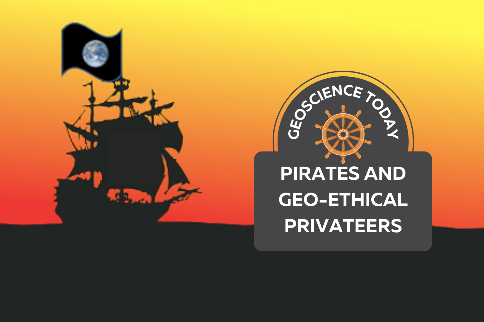
A pirate ship sailing into the sunset with a black flag with a photo of the earth on it. Text over the photo read: "Geoscience Today. Pirates and Geoethical privateers."

Pirates and Geo-Ethical Privateers

By Paul Hubley, P.Geo. “True Fact – the lack of pirates is causing global warming” – Forbes (2012) When Forbes Magazine published this graph along with the claim above, it caught my eye. In the graph, the average global temperature is increasing (on the vertical axis) as the number of pirates (on the horizontal axis) is decreasing. The reduction of pirates to “approximately” 17, roughly corresponding to the highest recorded temperature, is an oddly specific measurement (and my favourite part). There is even a handy timestamp along the curve and a familiar but outdated and partially obscured world map background for added authenticity. Taken together, the visual story woven by Forbes cleverly serves to reinforce some of our existing biases and our assumptions – it suggests that we need to pay attention as a society to this global issue of concern, that its all hands on deck concerning the increasing severity of the problem, its based on historical fact … and … global temperature rise is caused by an acute lack of pirates1. Geoscience publications are usually not awash with correlations of Earth systems and the activities of pirates, so this raised a red flag. Though as perhaps you’ve guessed, the graph is “tongue-in-cheek”, challenging those purveyors of “fact” to not confuse simultaneity with causation, in other words, to ensure that we take due care to link measured effects to their causes. It reminds us that we have a collective responsibility to ensure integrity in our data, use applicable scientific methods, and provide unbiased reporting – to stand on our moral and ethical footings.  Broadly, morals are guiding principles, and ethics speaks to rules, behaviours or actions. The graph’s issues of data, methods and communication cause us to drift us into ethical territory. It is reasons such as this that geoscientists (and other professionals) have a Code of Ethics to abide by, usually focused on honesty, integrity in data collection, due consideration of uncertainty using scientific methods and employing unbiased interpretation (etc.). Turns out that there is a Code for pirates too…   Context is Everything! Pirates in the Elizabethan era (the Golden Age of pirates, provided you weren’t Spanish) had codes of conduct to keep harmony on the ship and align the objectives of the crew. Bartholomew Roberts Shipboard Articles of 1721 consisted of a number of agreements between the Captain and crew. The articles were necessary as pirates were not governed by any other rules such as Naval regulations. For some aspects (stealing from each other, gambling, etc.) the rules were very tight, but generally all bets were off once on shore. One of the more interesting elements was Article 9, that is if injury should befall a pirate while on the job, they would be paid a sum commensurate with their injury – in other words, they had a meaningful worker’s compensation program.  Pirate captains were elected and could lose their position for abuse of their authority. However, aside from the agreed articles, there wasn’t much elaboration on what constituted abuse of ethics. Using a modification of Cressey’s Fraud Triangle (Source: David Bailey, 2015 (adapted from Cressey, 1951)), it’s clear that pirates already had the pressure and opportunity to move them into ethical risk territory when a ship was sighted – the promise of riches and glory saw to that. The only thing holding a pirate captain back from ethical shark-infested waters was rationalization2. But rationalization is a fickle passenger. At least, until society gets on board…  Canadian nautical society has a naughty history with piratical negotiations. Pirates receiving a Letter of Marque from the British Admiralty were thus commissioned as Privateers, notably during the War of 1812. These legal pirates were free to conduct their business provided their actions were aligned with the wider interests of society (i.e. the British Crown). One ship owner, Enos Collins, did rather well in 1812, becoming Canada’s wealthiest person; he also co-founded the Halifax Banking Company, a predecessor to the CIBC bank, using the spoils of privateering. If you’re in Halifax you can still see the oft-celebrated results of such shenanigans, starting at the Privateers Wharf (Sources: CIBC and East Coast Heritage. Photo by Thomas Goldsworthy Dutton via Wikimedia Commons). It is social context that allows a scurvy scallywag to turn into a prizewinning Privateer, without fundamentally changing their behaviours. Societal expectations (in the example above, articulated by the Crown) provide the necessary rationalization to justify naughty behaviour.   On the other hand, the inspiration of society can increase the strength of winds in a positive direction, creating neo (new) ethical expectations for the betterment of society – this became evident in the 1970s when the “Blue Marble” was first hoisted3. The Blue Marble Flag of the Earthship You have probably seen the Earth portion of this image without even noticing, as we take images like this for granted today. But it’s one of the most widely distributed print images in history.  It was this NASA photo taken from Apollo 17 in 1972 that became the essential symbol of the public’s collective imagination and expectations. It was widely circulated in the 1970s as a symbol, or flag of the Earth’s fragility, representing vulnerability and isolation in the limitlessness of space, a tiny Earthship alone in the vast ocean. The implied message was, without better care, the Earth would be replaced with a skull and crossbones – society no longer accepted the wanton polluting of the environment, and this trend continues today. This example demonstrates that societal awareness may push to shore as might a sustained wind.  Notably, the photo was not the first of its kind – a few years earlier there were similar photos available from NASA – but earlier photos failed to capture society’s collective imagination like this one, because they were not connected to society’s collective anxieties and will (therefore = shifting winds).  And so for our voyage, it is the 1972 Blue Marble photo that is selected as our Earthship flag.    These days many of us are on

Read More »
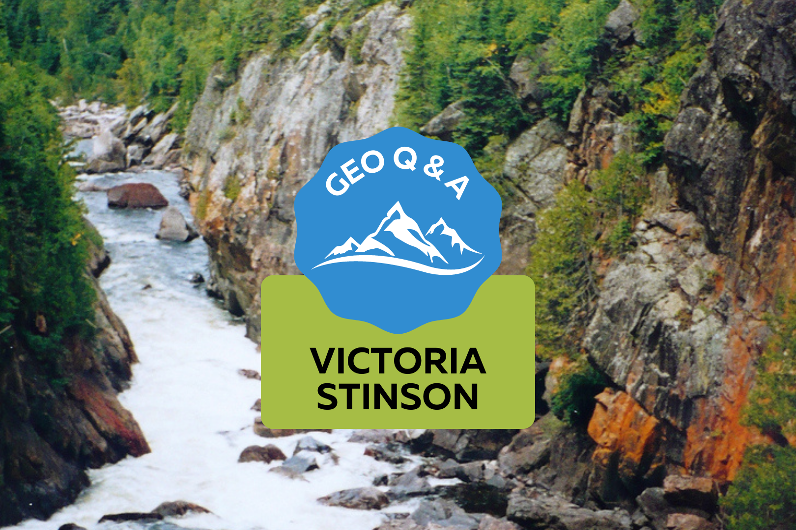
Pukaskwa National Park: a river flows away from the camera with some boulders on the right side. On either side cliffs go up from the river and there are trees on top of the cliffs. Text on the photo reads: "Geo Q & A: Victoria Stinson"

Q and A with Victoria Stinson, Inaugural Parks Canada Geologist-In-Residence

What is the Geologist-In-Residence Program? The Geologist-In-Residence Program provides an opportunity for the public to learn about the geological history of the natural landscapes in Canadian National Parks, in this case at Pukaskwa National Park. What were you doing at Pukaskwa National Park? Throughout my stay as Geologist-In-Residence I provided tours along Lake Superior describing the ancient geological processes that created these natural phenomena. Drop-in sessions with the public were also offered where visitors could come by to the campsite to discuss the geological features they encountered during their stay and learn how they were created. Children’s activities in these drop-in sessions involved creating artwork that displayed the geological processes that formed the unique features throughout Pukaskwa National Park. I also created a Rock Collection for the Visitors Centre so that everyone has an opportunity to learn more about the exceptional geology at the park! What geological formations did you teach about? I taught about all of the geological formations at the park but one of the most important contributions was a collaboration with the Interpretation Officer and her team. I identified a carbonate mineral, and other minerals rich in calcium, in a metamorphic rock that provides nutrients to unique arctic plants in the region. The Parks Canada team also put me in touch with a fellow geologist who visited the park earlier that summer that had hypothesized the presence of these minerals! This is an excellent example of the Scientific Method and the importance of collaboration between different types of sciences. What’s a fun story from your time at Pukaskwa? During the Geologist-In-Residence tour for the public a young boy whispered in my ear that I forgot to explain that sedimentary rocks start as sediments. What a great catch! I had forgotten to explain that important part of the Rock Cycle and it shows how important science communication and education are – even with experts! Victoria Stinson is from Fort Frances, Ontario and specializes in ancient tectonic processes on Earth and how they control gold mineralization throughout northern Ontario and globally. Victoria started her geology studies (HBSc. and MSc.) at Lakehead University in Thunder Bay and completed them at the University of Saskatchewan (PhD.). She loves teaching and mentoring, especially in the field, and is open to new collaborative opportunities! The honour of being the inaugural Parks Canada Geologist-In-Residence is a highlight in her life and believes that it is a great first step in improving scientific literacy and appreciation for the natural world in Canada.

Read More »