A old map with text on top of it: "Geoscience Today. The Pendulum, Familial Geoscience and Hobbits."

The Pendulum, Familial Geoscience and Hobbits

By Paul J. Hubley, P.Geo. Part I – Introduction I write this from the floors of ancient seas, drinking connate groundwater filtered through Ordovician limestones of the Iapetus Ocean mixed with proglacial Champlain Sea water. In all things and over vast expanses of time we are connected. – Paul Hubley, inspired by a passage in Geo-Logic (Frodeman 2003). Part II – Bilbo Baggins, Foucault, and Donald Rumsfeld  “It’s a dangerous business Frodo, going out your front door, you step onto the road and if you don’t keep your feet there’s no knowing where you might be swept off to” – Bilbo Baggins, The Hobbit. J.R.R.Tolkien. Bilbo Baggins was speaking from his hard-earned wisdom, entitling his book “There And Back Again, A Hobbit’s Tale”. On the surface it is an episodic tale involving the mysteries of earth and perhaps an early awareness of risk management. But really it’s about relationships. From the title we can relate something of the adventure to our own lives – these days we fill time with our “to’ing” and “fro’ing”, physically and emotionally – going here, coming back, going there, and coming back, often with subtle changes, hopefully mainly positive changes. Stand in one place for long enough and you will observe the back and forth of your life and that of your environment. Losing wallets, finding wallets, losing pens, finding pencils, losing faith in one, restoring faith through another. Birds migrating south, birds migrating north, water heaping onto shore, water receding, daylight coming and going. Back and forth. Repeated. Someone unfortunate enough to experience a hurricane feels the strong winds from one direction followed by calm followed by strong winds from the other direction – back and forth, possibly without ever having the perspective of seeing its regional rotation. At particular scales, circularity may be invisible, linearity is unclear – life can appear as a pendulum.  But what appears to be a There and Back Again pendulum effect on a narrow perspective is typically “corrected” by geoscientists that have come to understand that processes occur on broad cycles, often repetitive, over many millennia and over vast areas. But here we’re going to ignore all of that and do the dangerous business of going out the front door for a moment, exploring the pendulum from another perspective.  “A pendulum is a tool that is used to connect to your higher self and ‘source’ by asking questions to help guide, clarify, and raise your awareness.” reiki healer Kelsey Patel After cleansing the pendulum and preparing questions relative to your life, Patel instructs us to (i) learn how the pendulum moves; (ii) start with what you know; and (iii) remain open (that’s a tough one for us..). In the mid 19th century it was already widely established in science circles that the Earth was round and rotating, but definitive proof was lacking. Jean Bernard Léon Foucault’s pendulum (Foucault’s Pendulum) provided a simple and visual connection between theory and demonstration that was repeatable by anyone. Its key contribution was the insight it provided to a vast audience, especially those from other entry points to the idea: non-scientist, child, believer and skeptic alike. For the first time this was demonstrable proof of theory that could now be seen and felt and readily repeated – it provided needed perspective to the public. These are now found in learning institutions throughout the world. Foucault’s Pendulum exploits the differential between the faster velocity of rotation near the equator and the slower velocity closer to the poles. One of these pendulums activated far enough from the equator will reveal a slow but easily measurable rotation (about 270 degrees over a day of operation in Paris, for example). This doesn’t work at the equator, as there is no speed differential.  Reiki healer Patel asks us to go with what we know. One thing I know is that I don’t know reiki healing. But when I read the following nugget I always feel better about struggling with the vastness of the unknown: Reports that say that something hasn’t happened are always interesting to me, because as we know, there are known knowns; there are things we know we know. We also know there are known unknowns; that is to say we know there are some things we do not know. But there are also unknown unknowns—the ones we don’t know we don’t know. And if one looks throughout the history of our country and other free countries, it is the latter category that tends to be the difficult ones. Donald Rumsfeld Geoscientists know a lot about technical things and are particularly good at knowing known knowns – either within geoscience or connecting to other technical sciency and engineery things. Also, we are slowly and collectively developing an awareness that we (most of us, me included) don’t know as much about the people sciences (humanities and philosophy, etc.) but that we should – a growing awareness of the known unknowns, if you will.  Geo-Logic (Frodeman, 2003) attempts to connect geoscience to philosophy, which is about as unknown unknown as some of us with sciency backgrounds can get. He postulates that “Geologic” seeing is poetic vision constrained by the sobriety of science, a series of daring imaginative leaps disciplined by examination and measurement.  I don’t know about daring but let’s move slightly in that direction for a short time. Part III – Familial Geoscience If you look up this term in an online dictionary you find all sorts of things, like familiar geology, family as it relates to geologic formations, etc., but no Familial Geology or Familial Geoscience. I did not see a definition so I propose one here. How about this: Familial Geology is the relationality of members of a familiar group with the landscape – how relationships are fostered, change and develop related to specific geological processes, geological events or areas of geological significance, etc. There are probably plenty of modern examples of families that episodically go rock collecting together, strengthening bonds between each other
Read More »
An aerial shot of two excavation sites in Hungry Hollow. On the top left of the photo a pit is labelled "Hungry Hollow South Pit." On the bottom right a pit is labelled "Hungry Hollow North Pit." On top of the photo text reads: "Geoscience Today. Bob ODonnell: Fossils at Hungry Hollow."

Bob O’Donnell: Fossils at Hungry Hollow

The fossils at Hungry Hollow in North Middlesex are mid-Devonian in age (between 393-382 million years), during a time known as the Age of Fishes. There was a warm shallow inland saltwater sea that covered Southern Ontario, making it the perfect environment for crinoids, trilobites, starfish, corals, and many more organisms. Part of the fossil-bearing area was exposed by geological processes and melt waters from retreating glaciers that carved out the gorge at Rock Glen Conservation Area.  Years ago, shales from the locally-exposed Arkona Formation were quarried for the production of drainage tiles and brick, resulting in the two quarries that are still present today. These quarries are called the Hungry Hollow North pit and South pit, and they expose a handful of sometimes fossiliferous rock layers from the mid-Devonian Period. Both quarries are presently owned by a brick company.  Over 150 years of fossil hunting in the Arkona area, including many visits by well-known paleontologists has made Hungry Hollow famous worldwide. American paleontologist James Hall studied many fossils from Hungry Hollow such as a common coral, Heliophyllum halli, which was named after him. Another American paleontologist, Niles Eldredge, also has a local fossilized organism named after him, a trilobite called Eldredgeops. Charles Southworth was a very well-known fossil collector that lived in the nearby town of Thedford. He collected so often at Hungry Hollow that he became an expert on fossils in the area. As such, many professional paleontologists sought his advice when visiting the quarries. Several fossils are named after him, such as Phacops iowensis southworthi, a rare trilobite species found in Hungry Hollow. Today, many fossil enthusiasts come to the Hungry Hollow quarries to dig. Two brothers from Michigan, Mike and John Topor, have visited the area over 500 times, and have found numerous holotype fossils (holotype fossils are the first of that species to be found and described). One of these holotype fossils is a pyritized polychaete worm that was subsequently named after the town of Arkona and the Topor brothers themselves, Arkonips topororum. Another amazing fossil they found is a 28-armed starfish named Arkonaster topororum. Several fossils have been named after towns in the area such as a brachiopod named after the town of Arkona, Mucrospirifier arkonensis, and the town of Thedford, Mucrospirifer thedfordensis, and even the former town of Widder has a fossilized trilobite named after it, Greenops widderensis. Latin words are often used when naming fossils. For example, Microcyclus is Latin for “small wheel”. Microcyclus is a small coral that looks like a thin round wheel or button. The brachiopod fossil Petrocrania hamiltoniae is named after a collection of rock units in southern Ontario known as the Hamilton Group, that is mid Devonian in age. There are many fossils that have been found in the area that are named after paleontologists, collectors, and local town names. It is a reflection of why Hungry Hollow is so important and known worldwide.  The rock formation at the bottom of the quarry at Hungry Hollow is the Arkona Formation. It is a bluish coloured shale that is 20 metres thick, and contains fossils such as crinoids, trilobites, brachiopods, gastropods, cephalopods, pelecypods, corals, bryozoans, phyllocarids, starfish, brittlestars, and more.  The rock formation that lies above the Arkona Formation is the Hungry Hollow Member of the Widder Formation. It is two metres thick. The lower (older) half  is called the encrinal unit, and is a grey limestone that is rich in crinoid fossils. The upper (younger) half is a soft shale that is rich in fossilized corals, bryozoans, trilobites, and crinoids. Near the base of the Hungry Hollow Member is a layer of black shale that is rich in a fossilized brachiopod species called Leiorhynchus. This black shale represents a period of time when oxygen levels were low. Above the Hungry Hollow Member is the Widder Formation, which is not exposed in the Hungry Hollow North and South pits. It is, however, exposed on the north and south banks along the Ausable River, which runs between the two quarries. The Widder Formation is exposed high on the cliffs and is approximately 14 metres thick. It is a succession of grey, calcareous shale with thin limestone layers, and contains fossilized trilobites, phyllocarids, cephalopods, pelecypods, crinoids, and gastropods.   A wide variety of microfossils can be found in the area such as fish scales, fish and sharks’ teeth, conodont and scolecodont jaw elements, ostracods, and more. Throughout the formations you can find fossils that look like gold; however, they are not. These fossils have been pyritized, which occurs in oxygen-poor environments, when bacteria breaks down the original organic material, replacing it with pyrite (FeS2). The Widder Formation contains cephalopods that are completely pyritized, making them look like a gold spear or spike. Epifauna are animals that live attached to the seafloor or on the surfaces of other aquatic organisms. The fossils of these types of animals (e.g., bryozoans) are common at Hungry Hollow. There has been much research done on the fossils and formations at Hungry Hollow. One study in particular used fossilized corals from Hungry Hollow to infer mid-Devonian climate, and the degree of current turbidity (a measure of the cloudiness of water) in the marine environment in which the coral lived. The coral’s eating habits were investigated by cutting corals from the cup to the tip. The thicknesses of the growth layers was an indicator of food availability. Interestingly, if all the lines on the exterior of the coral are present, you can count them (under a microscope) from the tip to the cup to determine its age when it died.  Much information has been collected about the paleoenvironment at Hungry Hollow just by looking at the small, conical shells of Tentaculites, found in the Arkona Formation. If all the fossils of Tentaculites are aligned (end-to-end) in the same orientation, it is a good indicator of the direction of the water current, as the force of the current would have aligned the shells in the same direction.  After

Read More »
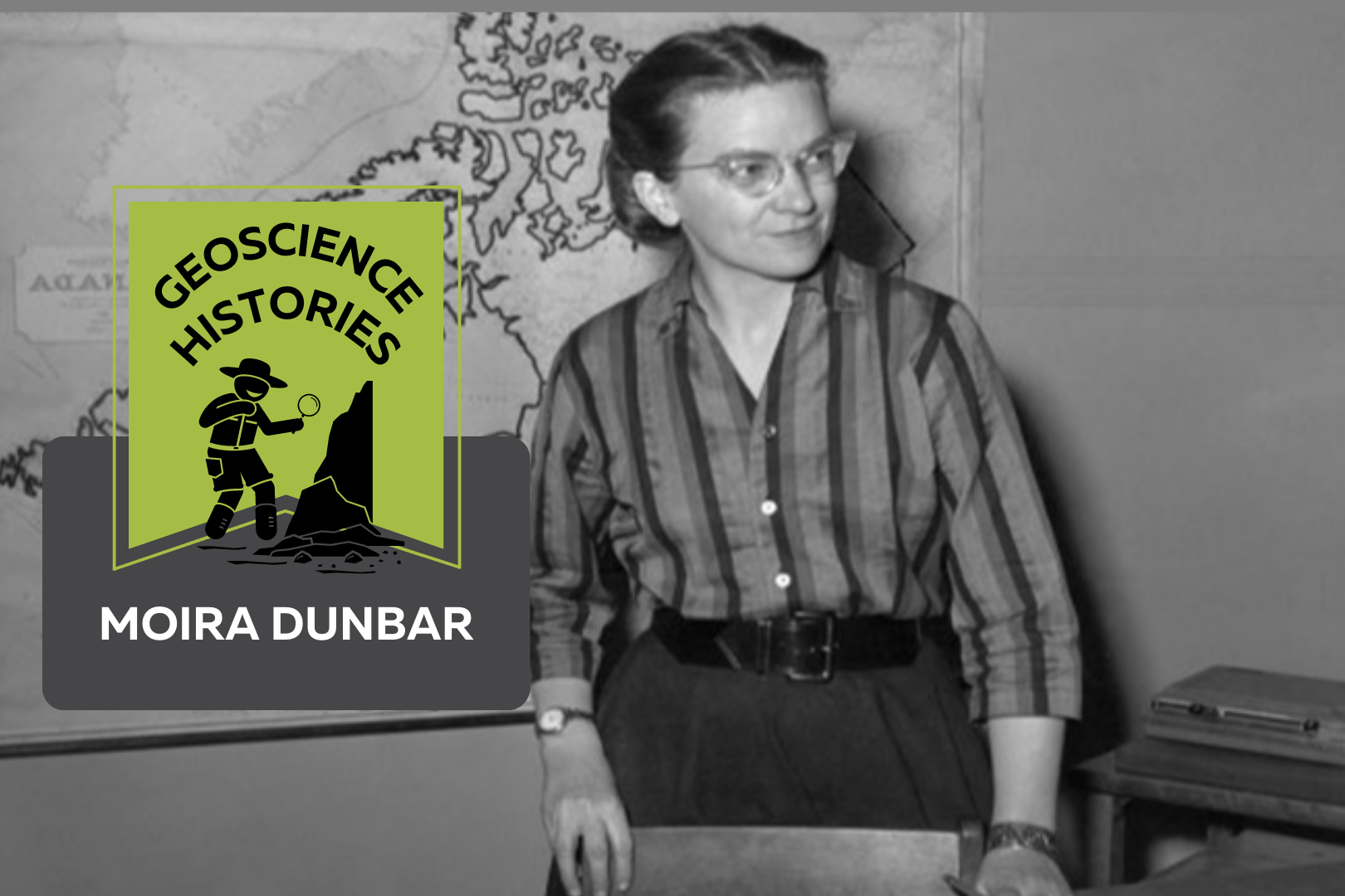
A black and white photograph of a young woman in a striped shirt with glasses. She is standing in front of a desk and there is a map of Canada on the wall behind her. On top of the photo text reads: "Geoscience Histories. Moira Dunbar."

Geoscience Histories: Moira Dunbar

Musician, geographer, actress, and sea ice researcher: Moira Dunbar was a legendary scientist. Born in Edinburgh, Scotland, Moira emigrated to Canada when she was 29 years old and started her career in sea-ice research working for the Government of Canada. She received many awards over her career for her important research and publications on Arctic ice.  Growing up, Moira’s family were academically-inclined. Her brother became a scientist and was made a Fellow of the Royal Society of Canada. Moira studied geography at Oxford University but when she graduated, she didn’t immediately go into research.  During the Second World War, Moira worked as an actress and a stage manager with the English Theatre. She toured Great Britain with the theatre and performed for the armed forces. “I was what is known as a character juvenile,” she said later, “which meant playing a long string of comic maids.” Despite her lacklustre acting career, she also was musically talented, playing the guitar and piano.  In 1947 Dunbar emigrated to Canada. Once there, she became aware that the Canadian government was looking for scientists. She got a job at the Joint Intelligence Bureau of Canada to research the movement of Arctic ice. This was important to the Canadian efforts during the Cold War, since the Canadian and American governments were afraid of nuclear attacks via the Arctic.  In 1952, Dunbar moved from the Intelligence Bureau to the Defense Research Board. Two years later she applied to join a Royal Canadian Navy icebreaker boat taking scientists to the Arctic for research. At this time, naval boats had never taken a woman aboard. Moira recalled that they “expected [her] to go around seducing all the men or something” (The Herald, 1999). She kept applying to go on icebreaker trips and for six months fought against her superiors to be given permission to go. Eventually her request reached the Deputy Minister, who decided that she was, in Moira’s words, “probably harmless.” She was finally allowed to go, but reflected that “they regarded me as some sort of cross between a delicate flower and a dangerous disease” (The Herald, 1999). Over time, however, she was accepted on the team and it was not raised as an issue again.  While on the icebreaker journeys, she analyzed sideways-looking radar in order to determine patterns in the movement of ice. She used photos of sea-ice taken at different times during the day and year to analyze ice conditions and determine the ice’s predicted position at different times of year.  In addition to time spent on icebreakers, she also joined Royal Canadian Air Force flights to study Arctic ice from the air. Dunbar spent nearly 600 hours flying over her career. She was one of the first people to observe and document an Arctic formation called a polynya. This occurs when strong winds flowing south combine with warm upwelling in the sea and melt or thin ice. She worked on standardizing ice terminology and wrote many papers on ice conditions in the Canadian Arctic. In 1956 she published Arctic Canada from the Air, written with Keith Greenaway. This book was a combination of aerial images and descriptions, and introduced many people to Arctic landscapes.  In her studies of Arctic ice, she became aware of the important research happening on the subject in Russia. She studied Russian and became certified as a linguist in Russian. She travelled to the Soviet Union and Finland in 1964 in order to learn from their ice-breaking operations.  In 1958 Dunbar wrote a particularly interesting article for Canadian Art about the Royal Arctic Theatre. Between 1819 and 1876, The Royal Arctic Theatre was a series of theatre productions put on by members of expedition trips to the Arctic during the long winters when the ships were stuck in the ice. Dunbar writes that “surely nowhere have plays been produced in more unlikely surroundings or in more difficult conditions than aboard the ships of British naval expeditions wintering in what is now the Canadian Arctic” (pg 110). Indeed, some of the plays were performed in less than 0 degrees Celsius on scarcely protected ship decks. There were no such equivalent theatre productions on Moira’s icebreaker trips, but being an actress herself, the Royal Arctic Theatre would have held a special appeal to Moira’s interests.  Throughout her career Dunbar received many distinctions for her work, including the Royal Canadian Geographical Society’s Massey Medal and the Centennial Award from the Canadian Meteorological Service. She also became a Fellow of the Royal Society of Canada and an Officer of the Order of Canada. She was a Governor of the Arctic Institute of North America and the Director of the Royal Canadian Geographical Society.  In 1978 Moira Dunbar retired to run a hobby farm and volunteer as a local historian in Ontario. She never married but enjoyed a long and diverse career. From growing up in Scotland, to acting for troops across Europe, to trailblazing on Canadian icebreakers, to flying alongside Air Force pilots over the Arctic; Dunbar’s career was filled with adventures and learning. Her impact in Arctic glaciology and sea-ice research is still felt today.  Sources and Further Reading: Moira’s Legacy of Land, Queen’s University Belfast Women in Geoscience Series, Irish Association for Women in Geosciences Moira Dunbar, The Canadian Encyclopedia Moira Isobel Dunbar, Science.ca Moira Dunbar, The Herald, 1999 A Selection of Moira’s Publications: High Latitude Navigation Flights, The Arctic Circular, pg 88-92, 1951 Ice Islands: Evidence from North Greenland, Arctic Institute of North America, 1953 Thrust Structures in Young Sea Ice, Journal of Glaciology, 1960 Veronica Klassen is the Manager of the Foundation’s blog – Beneath Your Feet: A Geoscience Blog. She studied Arts and Science at McMaster University with a minor in Earth Science and has a Master’s in Science Communication from Laurentian University. She is passionate about making science accessible and engaging to the public.

Read More »
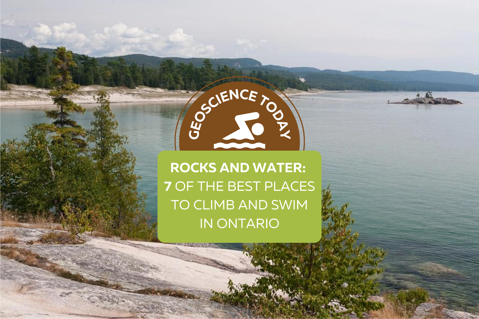
A landscape view of the coast of Lake Superior. Evergreen trees on light coloured rock are in the foreground, with the blue-green water in the background. In this distance Bathtub Island can be seen. Text overtop of the photo says: "Geoscience Today. Rocks and Water: 8 of the best places to climb and swim in Ontario"

Rocks and Water: 7 of the Best Places to Climb and Swim in Ontario

Want to enjoy the last few weeks of summer? Check out these gorgeous locations around Ontario for scenic swims, natural rock slides, turquoise water, limestone cliffs, old quarries, and more! Take our fun quiz to see where you should go to enjoy the natural landscape this summer. Learn a bit more about each of the locations: St. Mary’s Quarry: ​​St. Mary’s Quarry is a great place to swim on a hot day, but if you’re looking for more of an adventure, this old quarry also has cliff jumping, stand up paddle boarding, a volleyball court, and a massive waterpark. St. Mary’s was a limestone Quarry that closed in 1920 and has since been converted to an adventurous swimming hole. Elora Quarry, Elora: This old limestone quarry is surrounded by impressive cliffs with a large sandy beach and turquoise water. Although it can get pretty busy here on weekends, there’s a rock outcrop you can swim to if you’re having trouble finding a spot to sunbathe. While you’re in Elora, check out the nearby Elora Gorge, formed from the same limestone and dolomite that makes up the quarry. If you look closely at the cliffs, you might see some fossils hidden in the sedimentary rocks! These fossils are 350-450 million years old, from a time when Ontario was covered in a warm shallow sea. Lake Kelso, Kelso Conservation Area: Lake Kelso is actually a manmade lake built for flood control of Sixteen Mile Creek. The calm and clear water makes it the perfect place to spend an afternoon. Relax on the sandy beach or go for a walk along the boardwalk. If you don’t have your own boat, Kelso Conservation area also rents canoes, kayaks, paddle boards, and paddle boats.  Paradise Lagoon, near Wanapitei Provincial Park: Paradise Lagoon is a bit of a hike to get to, but the gorgeous blue water makes it so worth it. The lagoon is just outside of Wanapitei Provincial Park in Sudbury. The light blue water is surrounded by impressive quartzite and granite cliffs. The red quartzite that makes up this area as well as nearby Killarney Provincial Park creates a beautiful contrast with the emerald evergreen forest. Algonquin High Falls, Algonquin Provincial Park: Algonquin Provincial Park boasts many natural wonders, but one of my personal favourites is the natural water slide on the Barren River. Here you can slide down the smooth rocks under a foot or so of water into the swimming hole at the bottom. These granite rocks have been polished smooth by the continuous flow of water over time. To get to the falls you have to hike the High Falls Trail 4.5km to the chute. If you want to extend your stay, Algonquin Provincial Park has camping, canoeing, backpacking, hiking, and more.  Bathtub Island, Lake Superior Provincial Park: Have you ever seen a natural infinity pool? Lake Superior Provincial Park has one! This pool on Bathtub island looks like something you’d see in the tropics. To get there you can walk a short distance from Highway 17, or hike the Coastal Trail to the shore. After that you have to wade through the water (or take a small boat) to the island to find the natural pool in the rocks. The water is shallow and warmed by the sun, making it the perfect place to relax for an afternoon. If you want to extend your stay, Lake Superior Provincial Park has great campsites you can book. Crooked Slide Park: The biggest draw to Crooked Slide Park is the reconstruction of an original log chute used by loggers in the early 1900s! Take a step back into Canadian History as you learn about logging and the use of log chutes to avoid log jams. Although a bit remote, the small waterfall and shallow water makes for a picturesque scene that is well worth the drive. Veronica Klassen is the Manager of the Foundation’s blog – Beneath Your Feet: A Geoscience Blog. She studied Arts and Science at McMaster University with a minor in Earth Science and has a masters in Science Communication from Laurentian University. She is passionate about making science accessible and engaging to the public.

Read More »
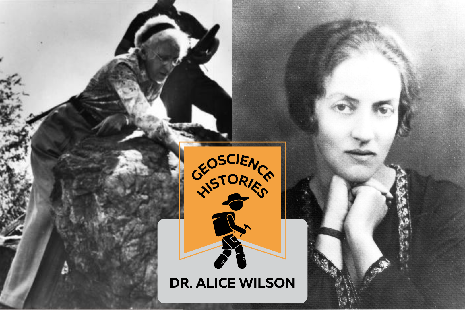
Two black and white images of Alice Wilson side by side. The left image is of Alice bending over a boulder. The right image is a headshot of a young Alice looking at the camera. Over the photos text reads: "Geoscience Histories: Dr. Alice Wilson"

Geoscience Histories: Dr. Alice Wilson

Dr. Alice Wilson, born August 1881, was one of Canada’s first female geologists, and the first female to be hired to work as a geologist at the Geological Survey of Canada. She persevered in the face of many personal and career-related challenges and paved a new path for women in geology in Canada. Alice Wilson grew up in a family that respected and encouraged education and exploration. She spent many summers canoeing, kayaking, and exploring the land and water around her family’s cottage in Ontario. Her father was a professor of Classics at the University of Toronto and both her brothers received PhD’s in their respective fields. When Alice was 20, she decided to study Classics at Victoria College in Toronto, with the goal of becoming a teacher. It’s unclear whether Alice actually wanted to pursue teaching or whether she did this because it was expected of her at the time. According to her friend Winston Sinclair, Alice said that in her youth teaching was the only acceptable field for a young lady. Perhaps this is why she decided to become a teacher. Her career path took a twist in her last year of university when she became very ill with anemia. She was unable to complete her courses and dropped out of school. After a few years in recovery, she started working in 1907 as a clerk at the University of Toronto. She had collected fossils as a child from the Cobourg Limestones near her home and was already passionate about palaeontology. In 1909 she became a museum assistant in the palaeontology department of the Geological Survey of Canada (GSC). In 1911, she finished her degree in Classics and was hired full time at the GSC. During this time, she connected with Percy Raymond who was the Chief Palaeontologist at the GSC. Her knowledge of languages came in handy when Percy needed her to translate a textbook of palaeontology from German to English. Percy connected with Alice and encouraged her to take a leave from the GSC in order to pursue a doctorate degree. Alice applied to take a paid leave in 1915 but she was rejected, despite the fact that other male geologists who applied for the same leave were granted it. Meadowcroft wrote that Alice believed her rejection was based solely on her gender, since the “fundamental reason [for rejection] has been that it would make a woman eligible for the highest positions in the Survey” (Meadowcroft, 1990, p. 208).  While she continued to apply for approval, Alice and Percy published an article on a new species of brachiopod. Unfortunately, when Percy left the GSC, Wilson’s other colleagues were not as eager to include her in their publications, and she was forced to work alone. In 1916, she paid for her own trip to Cold Spring Harbor, Long Island, NY to study comparative anatomy and marine biology for six weeks. When she returned to Canada in 1916, Wilson decided to help in the war effort for World War I. She joined the Canadian Women’s Army Corps (CWAC), an all-female military unit providing aid to the Canadian troops as decoders, drivers, cooks, stenographers, telephone operators and many other positions. The CWAC’s wore uniforms with a badge of three joined maple leaves, and on the collar of every uniform was an image of the helmeted head of Athene– the Goddess of War. As a willing volunteer for the CWAC, it is clear that Wilson didn’t shy away from danger or hard work. Women in the Canadian Women’s Army Corps were often subjected to disdain and discrimination from the Canadian public. General sentiment at the time was that women should be in the home, not in the army, and many people thought that women who joined the CWAC were of low moral standing. Wilson likely had to deal with some of this discrimination while serving with the CWAC.  Once the war was over, Alice Wilson returned to her position at the Geological Survey of Canada and continued to apply for leave to pursue further education. In 1926, she was awarded a scholarship by the Canadian Federation of University Women (CFUW) to fund her education leave. But even with the scholarship, the GSC still denied her leave. The CFUW lobbied for Alice, protesting her denied leave and demanding the GSC let her finish her education. The GSC finally relented and Wilson left to get her doctorate in geology at the University of Chicago. It had taken more than 10 years, but finally she received the education that she wanted.  When she returned to the Geological Survey of Canada, she was required to switch her area of research from Ordovician to Devonian rocks, due to the demand for petroleum in Western Canada. It was the Great Depression, and any research that could help Canada’s economy was prioritized. During this time, Dr. Wilson was responsible for ordering the National Type Collection of fossils, which is still an internationally recognized collection for fossil specimens. As she got older, Alice’s research started gaining recognition. She was the first woman to be elected as a Fellow at the Royal Society of Canada and the second woman to be a Fellow at the Royal Canadian Geographical Society. She received many other notable achievements, one of which was the Order of the British Empire (MBE) in 1935. The GSC, becoming more aware of Wilson’s achievements, promoted her to Assistant Geologist after she received the MBE. This designation should have been automatically given when she received her PhD 7 years earlier. But this wasn’t what Wilson wanted. She requested to be upgraded to Associate Palaeontologist, a title that she was never awarded throughout her career. Additionally, it wasn’t until 1945– nearly 16 years after she received her PhD– that her colleagues finally started referring to her as “Doctor”. During her time at the GSC, it would have been considered very indecent for a woman to join men on field work. So, she did her research by foot and

Read More »
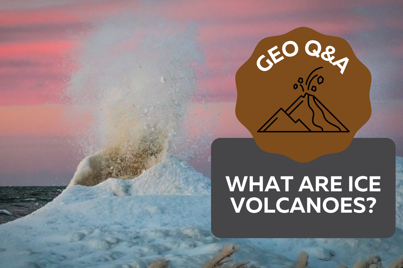
Ice volcanoes on the shore of a frozen lake. Text on top reads: Geo Q&A What are ice volcanoes?

Geo Q&A: What are ice volcanoes?

If you’ve ever walked on the shoreline of one of the Great Lakes in the winter, you might have seen some inconspicuous mounds of ice on the water. These mounds, often forming in lines parallel to the shore, are known as ice volcanoes. Although they don’t spew fire like their rocky counterparts, if conditions are right, ice volcanoes can erupt icy cold water up to 10 metres high! They are typically conical in shape, like a stratovolcano, and have a hole going down the middle. What are the conditions for an ice volcano to form? Ice volcanoes can grow in a matter of hours—but only if the conditions are right. Usually, ice volcanoes only form on freshwater lakes because salt water has a lower freezing temperature. The lake must not be completely frozen, because they depend on wave action to form. It also must be cold enough outside for the spray from the waves to freeze into ice. If all these conditions are present, then there is the potential for an ice volcano to form. How do ice volcanoes form? Firstly, water freezes on the edge of the lake forming an ice shelf. The waves from the lake hit the ice shelf and go over and underneath it. When the water flows under the shelf, it sprays up through any cracks or holes in the ice. The spray from the water freezes on top of the shelf around any cracks or holes. If this process continues for long enough, the ice can grow into a mini volcano surrounding an existing hole! Where can I go to see them? If you want to see an ice volcano, be sure to keep a safe distance away and always stay on shore. The best place to see ice volcanoes is on the southern shores of Lake Erie and Lake Ontario. When the onshore wind is above 40km/hour and the temperature is below freezing, there are often rows of volcanoes by the shore. They can also form over sand bars or rocky reefs, although this is less common. This process is similar because the water is pushed upward under an ice shelf as it reaches shallower depths. From shore, you might even be able to locate a sand bar by the distinctive row of volcanoes on top of it. Why are ice volcanoes dangerous? Although icy cold spray from an erupting volcano may not be pleasant, the real danger from ice volcanoes is getting stuck inside one. If someone were to climb a volcano and fall inside the mouth, it would be extremely difficult for them to get out of the cold lake water surrounded by ice. Ice shelves are often unstable and cannot hold much weight. It is very important to never try to walk on an ice shelf or climb ice mounds.  Always view them safely from shore. Why are ice volcanoes important? Ice volcanoes are useful in helping protect shorelines from erosion caused by waves and storms. While this protection doesn’t last long because the life of an ice volcano is relatively short, their presence still contributes to reducing shore erosion. Geoscientists study how erosion impacts the stability of shorelines and slopes in order to protect infrastructure from damage. If you’re curious about how geoscientists research and protect oceans, lakes, rivers and groundwater, checkout this video from GeoscienceINFO.com: Can we see ice volcanoes in other places? The Great Lakes are an excellent location to see ice volcanoes, but that’s not the only place you’ll find these types of structures. Astronomers have seen similar formations on other planets and celestial bodies! Off Earth, these formations are called cryovolcanoes, literally meaning “cold volcano.” They don’t only spew water, they can also erupt other volatiles like methane and ammonia. How do cryovolcanoes form? Similar to ice volcanoes on Earth, the temperature must be cool enough to freeze volatiles like water, methane, and ammonia. This most often happens on planets on the outer edges of solar systems, like the dwarf planet Pluto, or on moons and asteroids. The essential elements of cryovolcanoes are the same as ice volcanoes on Earth: an icy cone with liquid erupting up from underneath. But the actual formation of cryovolcanoes can be quite different. It has been theorized that a process called tidal friction is responsible for the formation of some cryovolcanoes. Jupiter’s moon Europa is made up of a worldwide ocean of liquid water or slushy ice with an overlying icy crust. The liquid under the crust moves due to the gravitational pull of Jupiter, creating tides. The moving liquid puts pressure on the ice, making cracks and fissures. As the liquid sloshes through these cracks in the crust and freezes, cryovolcanoes grow around the cracks and holes. However, tidal friction isn’t the only possible explanation for the formation of cryovolcanoes. If the inside of a planet is hot enough, materials that are melted will rise to the surface and create cryovolcanoes, similar to how magma rises through the mantle on Earth. There are two potential sources of heat on these celestial bodies. The first is caused by the decay of radioactive elements creating radiogenic heat. The second is heat left over from the formation of the planet, called primordial heat. Why are cryovolcanoes important? Cryovolcanoes can tell us a lot about the makeup of celestial bodies. For example, the finding of a giant cryovolcano on Saturn’s moon Titan helped to explain a prexisting mystery of the moon. The atmosphere of Titan has a large amount of methane in it, but since methane breaks down in sunlight, there should be less methane in the atmosphere than there is. The presence of the cryovolcano suggests that the methane is replenished from the interior of the planet by eruptions from the cryovolcano. Cryovolcanoes can help scientists to understand the mechanisms that create formations on celestial bodies. The beauty of ice volcanoes If you want to see ice volcanoes in action, go to the shore of a Great Lake this winter.

Read More »