

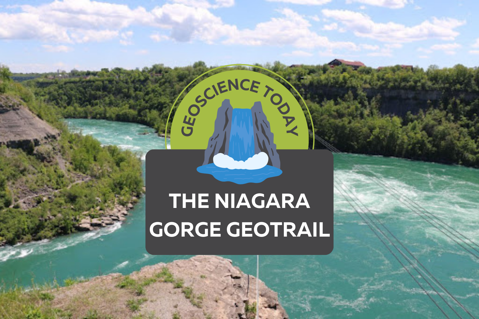
Aerial image of a turqoise river with white water. Surrounding the river is cliffs with greenery. Text on top of the photo reads "Geoscience Today. The Niagara Gorge Geotrail."

The Niagara Gorge Geotrail

The beautiful Niagara Gorge is made up of steep walls that rise on either side of the Niagara River, downstream of Niagara Falls, extending to Queenston, Ontario (and Lewiston, New York, depending which side of the river you’re standing on). The gorge itself is a geoscientist’s dream. The colourful rock units that lie one on top of the other may look like layers on a wedding cake but are in fact more like pages of a really good book (see image 1). Our book begins in the Late Ordovician Period, approximately 448 million years ago, at the bottom of the gorge, just above the river’s surface, with a long and juicy chapter called the Queenston Shale. The plot oscillates throughout the book as you read upwards through chapters of dolostone, limestone, sandstone, and shale. The book ends powerfully (note: spoilers ahead) in the Late Silurian Period (about 425 million years ago) with the limestones and dolostones of the Lockport Group, located at the very top of the gorge. The composition of each rock unit can tell us so much information about what the environment was like here, water depth, the types of organisms that lived at the time that the sediment was deposited, and much more. We don’t see giant 11-kilometre-long rock walls like this everywhere, so who or what do we have to thank for this geologic feature? Turns out, it’s just water being water. Southern Ontario has been through its fair share of glacial events. The most recent glacial event, called the Wisconsin Glaciation, lasted roughly 75,000 to 11,000 years ago. The amount of ice that was present in the area cannot be overstated; an ice sheet approximately 1-3 kilometres thick covered the Niagara region! As you can imagine, once this ice started to melt, it produced massive amounts of water. It was all this water that reshaped the water landscape of Ontario, creating new lakes, rivers, and streams, in addition to carving out land features that affect drainage patterns. The Niagara River was formed from this glacial meltwater, as it flowed from early Lake Erie to what is now Lake Ontario (but was the ancient Lake Iroquois at the time). When the Niagara River first started to flow, it would fall over the Niagara Escarpment at its original location, flush with the rest of the escarpment in the Queenston area. It didn’t take long, however, for the water to start eroding away at the escarpment in the river channel (see image 2). The rock units of the escarpment vary in their resistance to erosion. Shale, for example, is more easily eroded by fast-flowing water than limestone. As such, these rock units would erode away first beneath the top Lockport Group layer of dolostone and limestone (we call this top erosion-resistant layer a “caprock”), which would eventually lead to the dolostone/limestone caprock breaking off due to a lack of underlying support. Over the last 12,000 years, Niagara Falls has moved upstream (due to erosion) approximately 11 km! This makes it one of the fastest moving waterfalls in the world (see video below)! Even though Niagara Falls gets all the glory, no trip to the area would be complete without visiting the Whirlpool. Located downstream from the falls, it has a maximum depth of 83 metres and produces such powerful currents that the resulting change in water levels resembles marine tides (see image 3)! When the falls eroded from the rest of the Niagara Escarpment to the location of the Whirlpool, it began to erode through the ancient glacial sediments that had filled in the St. David’s Buried Gorge. These glacial sediments were less resistant to erosion than the surrounding Paleozoic sediments, so more erosion occurred here, forming a wider section of the gorge. This also caused the Niagara River to change direction; this direction change is responsible for the turbulent waters in the Whirlpool (see image 4). The Niagara Whirlpool area has some fantastic geology that can be visited in person, but you have to know where to look. The Niagara Gorge Geotrail, available through GeoscienceINFO.com is a great resource that not only provides exact map-based GPS locations, but it also tells you what geological features you are looking at and how they formed. The Niagara Gorge Geotrail begins by setting the scene beside the Niagara Glen Nature Centre. At this stop you are standing directly on the Wintergreen Flats, which at this location form a promontory – a point of high land that extends out as a headland. Stop #2 provides a fantastic view of the magnificent rock units of the escarpment on the American side. This is best viewed in the early afternoon, as the sun lights up the different coloured layers of shales, sandstones, dolostones, and limestones. When you look at this horizontal rainbow of rocks, think about the different environments that were present at the time they were deposited. From the deeper seas that deposited the shales, to the shallower seas of the sandstones, to the often-busy metropolises of marine organisms that led to the limestone deposits. If fossils are your thing (which I know they are), stops three and five have just what you need. A giant fossilized coral reef allows you to play detective and search for all kinds of little critters from bryozoans to little now-disarticulated crinoid ossicles that once stood tall one on top of each other, holding up the fleshy part of the animal in its calyx at the top. A fallen block of dolostone contains a fossilized trilobite, a class of invertebrates that went completely extinct just before the dinosaurs came on the scene, approximately 250 million years ago (see image 5). The Geotrail wraps up with a large rock block with a strange-looking tunnel in it. It looks like this tunnel was man-made, as it’s exceptionally round and extends right through the rock. This tunnel, actually called a “pothole”, was naturally made through the abrasive action of rocks and water. Potholes form through the repetitive circular movement of
Read More »
Two photos of Niagara Falls. The one on the left is grey and cloudy. The one on the right is bright and sunny. In front of the photos text reads: "Geoscience Today. GeoscienceINFO celebrates five years of serving the public."

GeoscienceINFO Celebrates Five Years of Serving the Public

The APGO Education Foundation is thrilled to celebrate five wonderful years of sharing our favourite subject with you – geoscience — via GeoscienceINFO.com. The Foundation itself was created in October 2014 as a charitable foundation with two main goals in mind: to help people in their journey in becoming geoscientists, and to provide accurate, reliable, and up-to-date information about geoscience to the public. We began our mission to help inform the public about geoscience by creating our website GeoscienceINFO.com on June 8, 2017. In the beginning, we had two main features we wanted to share with the public: geology-based virtual field trips of locations across Ontario, and short-but-informative Geovideos that explain geoscientific concepts and processes. To provide the highest-quality information to the public, we knew we couldn’t rush things. We started with one virtual field trip, one Geovideo, and a whole lot of enthusiasm! Virtual Field Trips The first virtual field trip released on GeoscienceINFO.com was of the Niagara area in southwestern Ontario, and this virtual field trip continues to be popular today. We were so excited to bring this field trip you the public that we first visited the Niagara peninsula in January to take photos! Needless to say, many of these photos were eventually replaced once the ice thawed and the trees started to bloom. Using Google Earth, seven stops in the Niagara peninsula were chosen for their geological relevance. Each stop has a detailed description of the geological history and relevance of that location. Because we know that learning is a highly visual process, we wanted to include as many photos of each stop as possible. This is why we have a well-stocked section at each stop of photos of the outcrop from as many angles as possible. In addition, we have a section of hand samples to give you a look at what the rocks and minerals are like close-up. Since 2017, we have continued to add more virtual field trips from locations all over Ontario. As of June 2022, we now have 17 virtual field trips available to the public, ranging from Thunder Bay to Ottawa. To better serve our public, we upgraded our platform in 2021 to the latest ArcGIS-based software offered by ESRI. This means our maps are quick to load, easy to navigate, and are supplemented by many high-quality and fast downloading photos. Geovideos In November 2017 we released our first Geovideo entitled “Where Does My Water Come From?” This two-and-a-half-minute video explains from where most people in Ontario receive their drinking water. Did you know that half of people in Ontario get their water from surface water bodies such as the Great Lakes? Knowing that piquing people’s interest is best for active learning and retaining facts, we wanted the Geovideos we released to be relatively short, accurate, and full of interesting facts like this that people can think about long after the Geovideo is over. Since 2017, we have released a number of Geovideos that explain geological processes and concepts. Our Geovideo “How Do Volcanoes Form?”, released in 2018, is our most popular video to-date with over 115,000 views! In 2020 we released a six-part series of Geovideos as part of our “Why Geoscience is Important” spotlight. From metal and mineral exploration to remediating disturbed lands, geoscience is associated with a broad range of activities and processes. As the world moves toward renewable energy sources, mining will continue to play a vital role as we need minerals such as copper, silicon, and silver to construct solar panels to harvest the Sun’s energy. Our Geovideos highlight the continuing importance of geoscience and answer commonly asked questions about various subject matter. Story Maps Our virtual field trips are set up like the university geology field trips that professors and students go on to learn more about geoscience. It’s important to us that everyone can experience this type of learning atmosphere. As such, they do have some limitations. Although our virtual field trips are full of information and photos, we wanted to give people more in order to truly immerse them in the area about which they are learning. ESRI’s new Story Map platform was the perfect way for us to do that. In November 2021, we released the first Story Map, of the Arkona area, at the Geological Association of Canada/Mineralogical Association of Canada (GAC MAC) conference in London, Ontario. In addition to the Arkona virtual field trip, presented in a new format, this Story Map provides a very detailed geological history of the region, and more paleontological environmental information, supplemented with a broad range of media types. Video segments of interviews with professors and local experts, drone footage, 360-degree photos, animations, 3D LiDAR imaging, and unique graphics are all included to provide a multi-faceted learning experience. Audio is also provided for all text, to augment accessibility options for the reader. We are so excited to be able to offer both options to learn about an area: our traditional virtual field trip, and our detailed Story Map. We will be creating Story Maps that will accompany all our virtual field trips, so be sure to look for these in the future! Beneath Your Feet: A Geoscience Blog One of our latest releases is the launch of our blog, Beneath Your Feet: A Geoscience Blog. We weren’t joking around when we decided to release a blog! Veronica Klassen, who has completed an M.Sc. in Science Communications, joined our team in 2021 to oversee the production, launch, and organization of our new blog. Because geoscience (like all science) is a dynamic field that is constantly growing, learning, and expanding, it’s important that we let the public know about the latest research. We publish articles bi-weekly, and articles are written by either our staff or by guest writers who are experts in their field. We feature columns by geoscience professors, students studying geoscience, licensed Professional Geoscientists (P.Geo.s), and local experts. If you’re practicing or studying geoscience and have something you’d like to communicate with the

Read More »