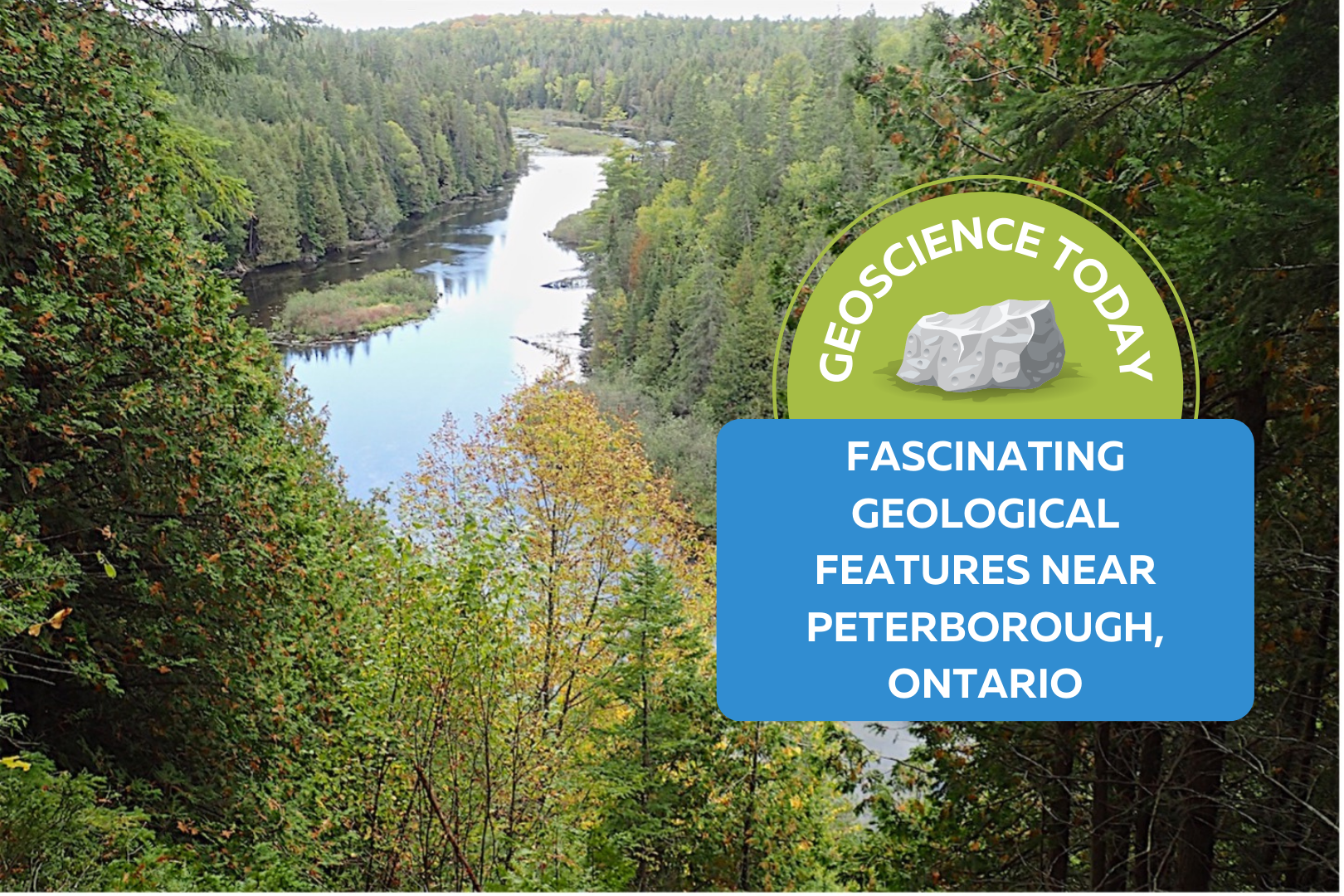
Fascinating Geological Features near Peterborough, Ontario
If you’ve ever wanted to time travel, looking at rock outcrops probably wasn’t your first thought. But if you know where to look, you can see a glimpse of history written in the rock layers.


If you’ve ever wanted to time travel, looking at rock outcrops probably wasn’t your first thought. But if you know where to look, you can see a glimpse of history written in the rock layers.
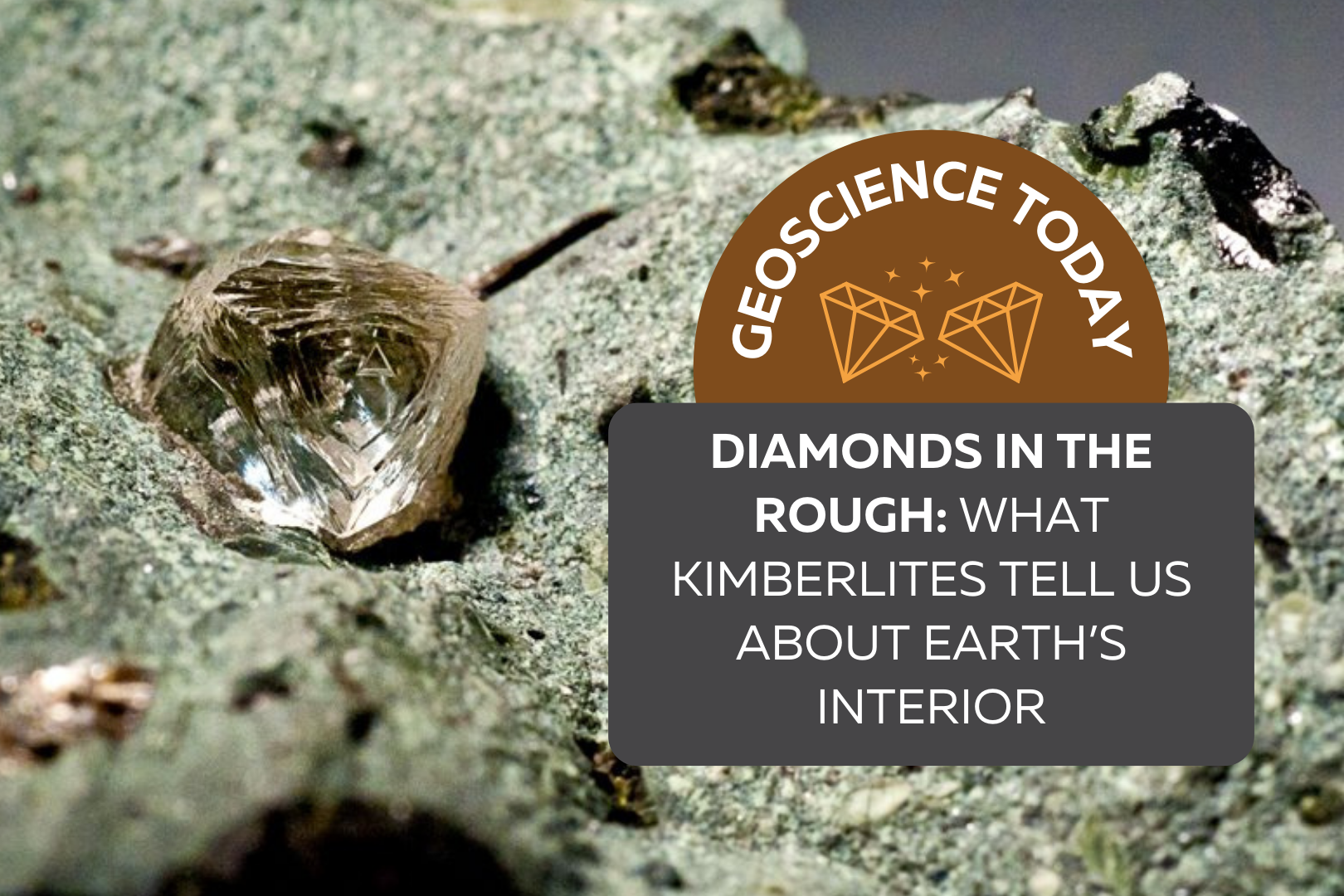
Everyone recognizes a diamond when they see one. Mounted on a ring or embedded in a necklace, these gemstones are prized for their use in jewelry around the world. What many people don’t realize, however, is that diamonds offer much more than commercial value. While the use of diamonds has been traced back to ancient times, large-scale modern diamond mining began in the late 1860s with the discovery of diamonds in Kimberly, South Africa. The rock from which the diamonds were extracted was creatively named kimberlite, after the town. Today, kimberlite is by far the most important source of naturally occurring diamonds, and deposits are found around the world. Diamonds originate from deep in the mantle, hundreds of kilometres beneath Earth’s surface. A common misconception is that diamonds are formed through the metamorphism of coal. This is not the case – although they are both composed of carbon, coal deposits are a result of the burial of plants, whereas diamonds are much older than the first plants on Earth! The journey of a diamond from the mantle to the surface is fascinating, and to properly set the stage, we need to first learn about plate tectonics. Large, rigid continental plates move slowly on Earth’s surface, repeatedly reshaping our continents over millions of years. In some parts of the continental lithosphere, there are massive and ancient blocks that haven’t been a part of subduction or continental rifting processes in billions of years. These are called cratons, and they form the geologically stable interiors of present-day continents. Cratons are found on all continents, including North America; for example, the Superior Province extends across Ontario and Manitoba and forms the core of the Canadian Shield. Typically, cratons are older than 2.5 billion years, meaning they come from a geological eon called the Archean. These cratons are thick enough to reach into the mantle, creating the perfect environment for diamonds to grow – anywhere else, and the pressures and temperatures are not suitable for the crystallization of carbon atoms in diamond form. It’s on the surface of these ancient cratons that diamond-rich kimberlites are found, but the kimberlites themselves are significantly younger than their Archean hosts; most are younger than 150 million years old. So how did they get there? Transporting a diamond from beneath an Archean craton to the surface of Earth is no easy feat, not least of all because the conditions of Earth’s surface are far below a diamond’s “comfort zone”, so to speak. If you were to bring a diamond to the surface at normal geological speeds, it would convert to graphite, the physical arrangement of carbon atoms that is stable at normal pressure and temperature conditions. To keep its diamond passengers happy, the magma must follow a few rules. Kimberlite magmas are full of volatiles, like water and carbon dioxide, and are more magnesium-rich than typical magmas. This type of chemistry produces low-density, low-viscosity magma that wants to separate from the mantle and rise to the surface in a truly remarkable way. Geological models show that kimberlitic magma begins to move upward at speeds ranging from 4–20 metres per second, propelled to even faster speeds by decreasing pressures towards an eventual 200 m/s explosive eruption on the surface. Assuming a starting depth of about 300 kilometres below the surface, a kimberlite could complete its diamond delivery within 15 hours! Considering that many geological features occur over millions of years, kimberlites move from the mantle to the surface relatively instantaneously. The combination of the unique volatile-rich magma chemistry and rapid ascent help to keep the diamonds stable, so they don’t convert to graphite or dissolve into the magma. This eruptive transport gives kimberlite pipes their characteristic “carrot” shape that is sometimes accompanied by a fallback of ejected pyroclastic material, like ash and rock fragments. Since diamonds do not crystallize within the original kimberlite magma and are instead picked up from the mantle as the magma ascends, they’re called xenocrysts, or foreign crystals. But while diamonds tend to get most of the attention, kimberlites can also carry other mantle rock fragments (xenoliths) to the surface. In fact, diamonds themselves often contain mineral inclusions, and while these are heartlessly referred to as flaws by a jeweller, they can be immensely important for understanding the pressure and temperature conditions of diamond growth. So, not only are kimberlites an important source of economic geology, but they can also provide geologists with information about the chemistry and conditions of the deep mantle that we would otherwise be unable to observe. Sadly, there hasn’t been much kimberlite activity in the last 50 million years, which means that the diamonds on our surface today are likely the only ones we’ll ever find on Earth. Even though kimberlite deposits occur on all continents, they can be somewhat difficult to track down. Rocks from the mantle tend to be unstable on the surface of Earth, so even though kimberlites are much younger than their surrounding rock, their composition makes them more vulnerable to weathering and erosion processes. However, specific minerals in kimberlites, like garnet and ilmenite, can survive weathering and in the case of many deposits in Canada, glacial transport. When the kimberlite deposit is hit by an advancing glacier, resistant minerals from the kimberlite are carried along by the ice and exploration geologists can follow the path of these minerals against the direction of glacier transport to find the source kimberlite pipe. Indicator minerals are abundant in kimberlites and relatively rare in other igneous rocks, making them a very useful tool for finding a kimberlite pipe that today might be a crater filled by water or vegetation. This method, also known as drift prospecting, is widely used across Ontario and the northern territories to search for diamond deposits because of Canada’s extensive glacial history. While diamonds are relatively rare and difficult to find on Earth, they’re actually exceedingly common in space. However, at a billionth of a meter in diameter, they’re nowhere near big enough for an
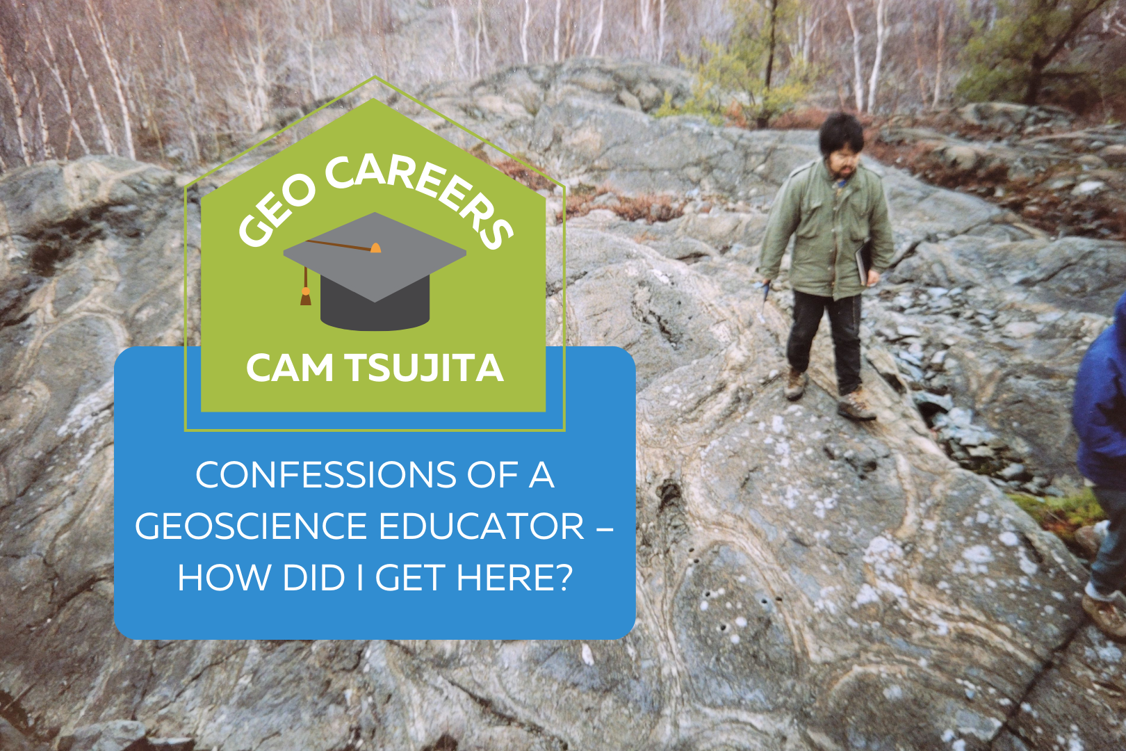
It is common to hear stories of highly gifted individuals pursuing a career path and ultimately landing their dream job after years of climbing the ladder. Sometimes I even tell people that I am very lucky to have landed my dream job. “Lucky” is certainly true, but the fact is, I’m not particularly gifted, nor did I imagine working in the career I have now, that is, being an educator. That sort of happened by accident. My job is amazing, but my work does not quite match what I originally envisioned. Yes, I have always wanted to be a paleontologist, and yes, people call me a paleontologist, but my main passion is teaching geology (and not much of it is actually paleontology). When people asked me what I did for a living, I used to reply that I was a paleontologist. Now, I’m more inclined to say that I’m a university teacher. I guess I am getting to that age where I wake up and think, “Well, how did I get here?”” (and now I’m cursing David Byrne because I know I’ll have that certain song in my head for the rest of the day). I am slightly bothered by the fact that I was born in 1966. This means I’m about as old as the theory of plate tectonics. I have only recently come to fully embrace this without the eye twitch! Plot it on the geologic time scale and it doesn’t look quite so bad. But I digress… I was born in the town of Olds, Alberta. My earliest memory of a rock that interested me was a piece of shale that a friend of the family showed me. It had a trilobite in it. Apparently, I had already shown an interest in rocks at this point, and she thought I might be interested in looking at it. I remember seeing it and thinking that it was the coolest thing I had ever seen. It looked kind of creepy, but beautiful at the same time. And a dead animal in a rock? Sign me up! I’ve noticed that a disproportionate number of photos I have of me as a kid show me looking at the ground for fossils (or rocks). I don’t know exactly what drew me to fossils and rocks. Maybe it has something to do with always having been vertically challenged (and being so close to the ground)? Or maybe it’s an obsession with dead things? I still don’t know exactly what it was… This obsession with fossils got me in trouble at times. I remember my mom being very upset with me for being nearly hit by a train while looking at the stones in the ballast of the train tracks. I was nearly hit by a car once when I was inspecting gravel on the side of the road too. I was developing an interest in dinosaurs as my parents would take me to Drumheller (about an hour and a half drive from Olds) to look for dinosaur fossils (the Royal Tyrrell Museum wasn’t yet constructed). Then my dad (a professor in horticulture) got a job at the University of Guelph. In Ontario. Well, dang – there goes dinosaur hunting. Fortunately, I found out that there were a lot of old invertebrate fossils to be found in Ontario. I started finding fossils in…driveway gravel (of course). I was very, very fortunate to have parents who were supportive of my strange interests. My fossil obsession continued through my teen years. I kept it hidden from most others, as I thought most people would think it was a really weird thing (but who are we kidding? Teens think everything is weird). One thing I did discover during high school is I always learned more about something if I had to explain it to someone else. This still holds true for me today. There are a whole lot of things I wouldn’t know now if I didn’t have to teach about them in my courses. The fantasy of becoming a paleontologist sat in the back of my mind for years. But I had always assumed that I would have to be an exceptional student to get into that sort of field. The thing was, I was not an exceptional student. Especially in science. And I was hopeless at math (and I’m still hopeless at math). My teachers in high school (and my guidance counsellor) told me that if I was to go to university after high school, my best bet would be visual art, music or maybe English. I don’t think any of them expected me to go into science. My grades, although definitely not stellar, were good enough to get me into the University of Western Ontario for science, and ultimately into the geology program. By the second year of my undergraduate program, I found my people. I became friends with other students interested in geology and was delighted to learn that a lot of my peers really sucked at math too. One of the most transformative realizations I came to appreciate from the courses I took was that paleontology was part of something much bigger than I formerly realized. Taking courses in a variety of subdisciplines – sedimentology, geochemistry, structural geology, petrology, and many others – made me appreciate the complexity and interconnectedness of natural processes in the Earth system as a whole. The idea that (in conjunction with characteristics of the rocks that contained them) fossils could be used to interpret past environments just blew my mind. And gaining the ability to visualize, in my minds eye, how a given rock formed (something I often to refer to as “looking beyond the rock”) felt like acquiring a superpower. So, while I came to my undergraduate degree wanting to study fossils, I left with a deeper appreciation of rocks – the context for fossils. So, l kept looking down, but my view of the ground became much, much bigger. From my undergraduate degree
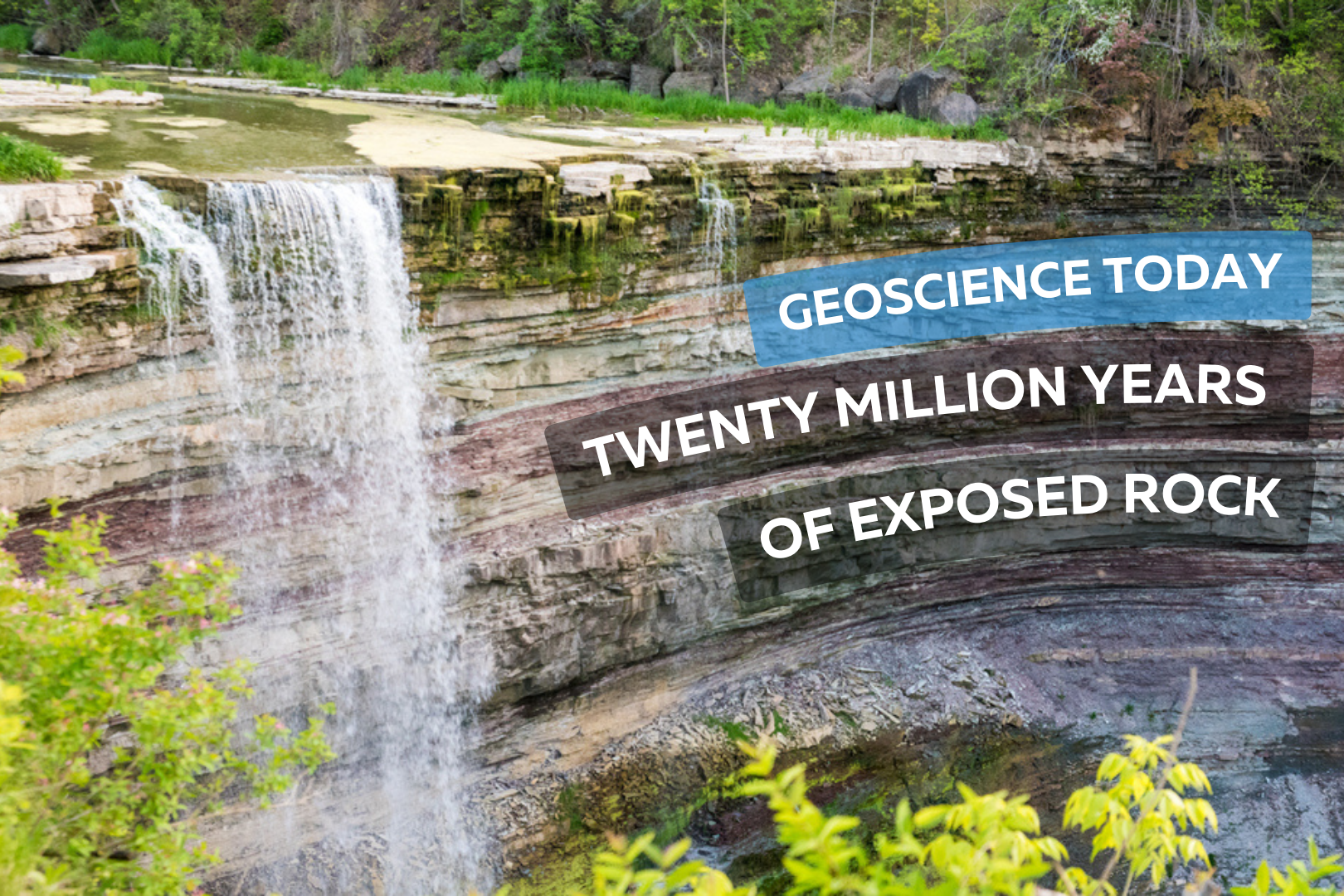
This article has been republished with permission from the Niagara Peninsula Aspiring Geopark website. Read the original article here. The Balls Falls Conservation Area, located prominently on the edge of the Niagara Escarpment, beautifully exposes a succession of Upper Ordovician and Lower Silurian rocks along a length of over 2.5km and a vertical dimension of about 65m. This excellent exposure is the result of river and slope erosion dominated by the northward flow of Twenty Mile Creek, over the Upper and Lower Falls, and ultimately into Lake Ontario. Paleozoic Geology Aside from the Niagara Gorge, Balls Falls is one of the few locations in the Geopark where bedrock formations are so well exposed to reveal the geologic history of the region. As shown on this geologic cross section, rock seen along the length of the valley spans a time of roughly 20 million years from the Upper Ordovician Queenston Shale to the Lower Silurian Lockport Formation Limestone. Many of the rock layers can be seen at the Lower Falls located next to the grist mill. It is astounding to realize that from this single vantage point, one can witness so much of the earth’s history. The oldest visible rock formation, the Power Glen Shale (438 my), lies at the base of the falls and the youngest, Reynales Formation Limestone and Shale, is seen at the top. Formations both younger and older are exposed along the valley. Overlying Rochester Shale and Lockport Dolostone form the structure of the Upper Falls while older rocks are exposed below the Lower Falls – buff coloured Whirlpool Sandstone is seen within the gorge walls and river bed and the Queenston Shale Formation, the oldest rock exposed in the Geopark, outcrops further downstream in the prominent cliff just north of King St. The Waterfalls The Upper and Lower Falls are located at two different levels in the stratigraphy. These two levels were created by a combination of scouring glacial action, ending as the last glacier retreated about 12,000 years ago, and by the erosive power of flowing water – most significantly as torrential glacial melt runoff at various periods in history, and later in a more subdued manner as drainage along Twenty Mile Creek. The Upper Falls at 11m high is classified as a curtain falls since the width is greater than its height. About 1.5km downstream, the main Lower Falls at 27m high is considered a classical falls because the height and width are almost equal. Further downstream there is a collapsed waterfall that formed over the course of the past 10,000 to 12,000 years, as the rock layers receded due to erosion. The Gorges The erosional history of the Gorges at Ball’s Falls is complex. Today, you see two active gorges – one below each of the two waterfalls. They have been excavated by two, and possibly more periods of erosion, separated by phases in which the entire area was covered by glacial ice. When the ice last retreated (which was at its peak was at least 1km thick) it left the area covered with glacial till, clay and silt thereby plugging these previously excavated sections of the gorge. As the glacier retreated and water flowed again in the gorge, the weak and loosely consolidated glacial remains were washed out and the “buried gorge” was revealed again. There are also two abandoned gorges – one on the west side of each of the two waterfalls. These abandoned gorges were active over 25,000 years ago. The Valley Slopes Weathering on the steep slopes of the gorges gives rise to two main types of slope movement: individual rock falls and rock slides. Individual rock falls take place unnoticed most of the time and is very common on open exposed cliff faces. Large rockslides take place less often – once every six to ten years – but produce a much more obvious result. In 1981, a slide on the east side of the valley occurred as rock at the top of the slope failed, slid down the slope towards the gorge floor and forced the closure of the road. This occurrence was an excellent example of how the gorge evolves – the gorge enlarges and rock is delivered to the river channel to be gradually eroded and carried downstream. The River and Water Flow Twenty Mile Creek is named for the location of its mouth, twenty miles (32 km) west of the Niagara River along the Lake Ontario shoreline. The Indigenous name for the Twenty Mile Creek is the Kenachdaw, which translates to Lead River. It is 50 km in length and drains an area of roughly 290 sq km. River flow in the river normally dries up in the late summer and early fall, although there can be considerable variation in the timing. The largest flood events are usually between January and April as rainfall and melting show pack on saturated ground with little vegetation cover often combine to produce dramatic floods. At the Upper Falls, water flows underground and re-emerges at the cliff on the east side of the falls. Contributor: Niagara Peninsula Conservation Authority Author (photo on left): Perry Hartwick, P.Geo, Niagara Peninsula Aspiring Global Geopark Director and Resident Geologist, Co-founder and President of Upper Canada Stone Company, Ltd., which successfully operates a dozen quarries in Ontario under the Aggregate Resources Act.
Author: Alexander Lewis Peace, Assistant Professor (Structural Geology), McMaster UniversityThis article is republished from The Conversation under a Creative Commons license. Read the original article. Pangaea was the Earth’s latest supercontinent — a vast amalgamation of all the major landmasses. Before Pangaea began to disintegrate, what we know today as Nova Scotia was attached to what seems like an unlikely neighbour: Morocco. Newfoundland was attached to Ireland and Portugal. About 250 million years ago, Pangaea was still stitched together, yet to be ripped apart by the geological forces that shaped the continents as we know them today. For many years, geologists have pondered how all the pieces originally fit together, why they came apart the way they did and how they ended up spread across the globe. As an assistant professor in structural geology, I research plate tectonics — specifically how and why continents break up — and the related igneous rocks, natural resources and hazards. Puzzle Pieces We know that Nova Scotia and Morocco were once attached because their coastal areas — or margins — match up perfectly. We can also trace their path from the structure of the ocean floor now separating them. Today, we are much closer to understanding the shifting of the continents, including the movement of land masses, but there is still much to learn. The science of exactly why they ended up 5,000 km away from each other — and how other parts of the continental jigsaw puzzle pulled apart the way they did — has been extensively researched and debated. One camp believes the continents were dragged apart by the movement of tectonic plates driven by forces elsewhere. The other group believes that hot material from deeper underground forced its way up and pushed the continents apart. Whether one theory or the other or some combination of both is correct, this much is certain: whatever happened, didn’t happen quickly! Plate tectonics is an ongoing story that unfolds by mere millimetres each year. The change has added up over eons, placing us where we are today — still drifting, though almost imperceptibly. The North Atlantic An area of especially intensive study and lingering mystery is the North Atlantic — the area bounded by Greenland, Eastern Canada and Western Europe — where the final stages of Pangaea’s breakup played out. Curiously, perhaps, it is the region that spawned much of the geoscience that would successfully be applied to understanding the continental makeup of other regions of the world. When the North Atlantic began opening up, the continent started separating along the west side of Greenland. It then stopped and instead continued opening between eastern Greenland and Europe. Why? To solve this and related questions, two colleagues and I brought together about 30 researchers from many different fields of geoscience in the North Atlantic Working Group. Our research team includes geophysicists (who apply physics to understand processes in the Earth), geochemists (who apply chemistry to understand the composition of the materials that make up the Earth) and many others who study the structure and evolution of the Earth. To date, the North Atlantic Working Group has held a number of workshops and published a set of papers that propose a new model for answering some of the long-unanswered questions about what happened in the North Atlantic. Structural Inheritance Our North Atlantic Working Group was able to draw many types of data together and to tackle the problem from multiple angles. We concluded that most important geological events were strongly influenced by earlier activity — a process called “inheritance.” Throughout the history of the Earth, the continental landmasses have several times come together and then subsequently been torn apart. This process of amalgamation and subsequent dispersal is known as a “supercontinent cycle.” These previous events left behind scars and lines of weakness. When Pangaea was stressed again, it tore open along these older structures. While this process was suggested in the early days of plate tectonic theory, it is only now becoming clear just how important and far reaching it is. At the largest scale, the tear that formed the North Atlantic started first to the west of Greenland. There, it hit ancient mountain belts that would not break apart. There was less resistance to the east of Greenland, which opened like a zipper and eventually took up all the widening to form the North Atlantic Ocean. In addition, relics from these previous plate tectonic cycles left remnants deep in the Earth’s mantle that were susceptible to melting, explaining much of the widespread molten rocks that accompanied breakup. And at the smaller scale, it appears that the hydrocarbon bearing basins left behind on the continental margins were also influenced by previous events. Much of what we know about this was gathered in the search for oil and gas. Our most detailed knowledge comes from coastal areas closest to the markets where those commodities are processed and sold, and most of it has been obtained since the 1960s, using post-war technology to scan the bottom of the oceans. These economic factors mean that our knowledge of the subsurface drastically diminishes beyond Newfoundland. North of that, there is much to explore and to understand, where the answers to the remaining mystery of how we got here lie miles beneath the waves. I am a structural geologist leading the McMaster Structural Geology and Tectonics Group, in the School of Earth, Environment and Society at McMaster University. I research deformation processes and associated hazards as well as resources. I am particularly interested in rifting and breakup, rift-related magmatism, seismic hazards, and structural inheritance. Geographically, I have worked around the North Atlantic, with a particular emphasis on Eastern Canada. The nature of my work requires a multifaceted approach incorporating a wide variety of approaches and methodologies such as: seismic interpretation, field-based studies, numerical modelling, petrology, structural modelling and geochemistry.
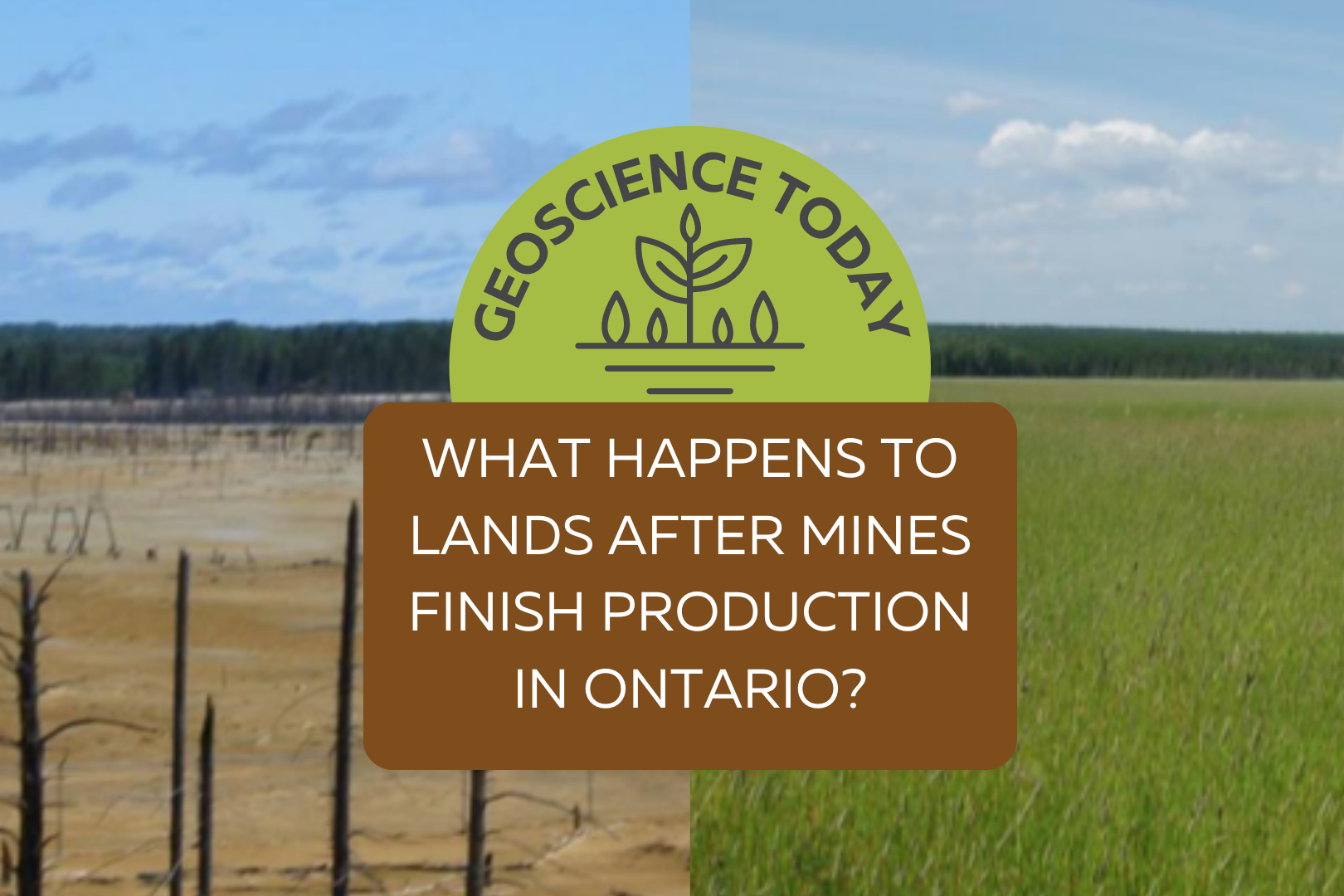
Have you ever wondered about mining? How and why we mine and what happens to a mine when the valuable minerals that it contains are depleted? Did you know that if something can’t be grown then it comes from mining? Mining is an essential industry that provides the raw materials necessary to many of the goods and services that we use we use every day, including concrete and asphalt used to create roads and buildings; stainless steel used in construction, transportation and medicine; electronics such as computers and smart phones; and renewable energy technologies such as solar panels, wind turbines and batteries, important to the transition to a low carbon economy. Mining is the process of removing minerals, metals or other geological materials from the Earth’s crust. Reclamation is the process of restoring land that has been affected by mining. It is an important part of the mining cycle, a sequence of four stages that represents the “life” of a mineral deposit. The stages of the mining cycle follow an order and include exploration, which involves searching for minerals and evaluating a mineral discovery; development, which involves constructing a mine; mining and processing which is operating the mine and creating a mineral product; and the final stage which involves closing or decommissioning the mine, and reclaiming the lands disturbed by the mining process. Reclamation, or rehabilitation as it is defined in law, is the process of restoring the lands of a mine site to their former use or condition or making them suitable for a different use. Mining activities can have impacts to the surrounding environment, affecting vegetation, soils, wildlife, and the quality of air, and ground and surface water. These effects can pose hazards to public health and safety. As a result, all land affected by mining must be rehabilitated. The goals of rehabilitation are critical and include minimizing risks to human health and safety and the environment; and achieving a productive after use for a site. Rehabilitation rules, practices, and requirements are set by the Province of Ontario and differ depending on whether an operation is an underground or surface mine. Underground operations include mined–out voids and rocks structures that must be stabilized, along with any openings to the surface must be covered. All mining operations must rehabilitate tailings, the waste materials that remain after the valuable minerals have been extracted and are typically stored on the mine lands, and revegetate lands. Rehabilitation is defined and described in a Closure Plan, a requirement under the Ontario Mining Act. A Closure Plan is a mine site specific, legal document that outlines all of the actions to which a mining company commits in order to rehabilitate a mine during and at the end of its operation. Indigenous consultation is a requirement of the closure planning process. Local communities and the general public can play a role in the development of a Closure Plan, at the outset of the process, when it has been finalized and amended. Companies are also required to provide financial assurance to the Province, equal to the estimated cost of rehabilitation of the mine, as part of closure planning. You might be surprised to learn that Closure Plans and Financial Assurance must be in place before a mine is able to start operating! They are required as part of an extensive permitting process. Progressive rehabilitation occurs while the operation of a mine is still “in progress.” It can involve the revegetation of mined out areas, the revegetation of dry tailings and waste rock, the rock that is removed in the mining process to provide access to the ore but does not undergo any further processing, and the removal of buildings that are no longer in use. When a mine is no longer operating, the closure process can start. First, the mine’s infrastructure and facilities, including buildings, roads, and equipment are removed from the site. Then, the reclamation of vegetation, soil cover materials, surface water and waste rock takes place. This involves reshaping lands, restoring topsoil, and planting native vegetation, including grasses, trees, or ground cover. How tailings are reclaimed depends on whether they are inert (chemically inactive) or reactive (can react with other substances). Inert tailings can be rehabilitated using a vegetative cover. Materials called amendments are applied to cover the tailings before vegetation is planted in an effort to improve outcomes. Reactive tailings can pose a risk to the environment. Reclaiming these types of tailings can involve covering them with water or earth materials, preventing the tailings from oxidizing and mobilizing toxic metals as a result. At some operations in Ontario, thickened tailings are used to backfill underground mines. This is a sustainable way in which to reduce water use on site and stabilize reactive tailings. When the reclamation work is complete, the site is inspected by a government representative to ensure that commitments made in the Closure Plan are met and the financial assurance is returned to the mining company. In some situations reclamation becomes the responsibility of the Province. This can be the case for mines in operation before legal requirements for reclamation were in place. This is the case with the Kam Kotia site, located near Timmins Ontario. Operating for 30 years, the mine produced copper and zinc but did not undertake any land reclamation. Exposed reactive tailings and waste rock created acidic run-off that impacted the creeks and rivers located in close proximity to the mine. The lands and mineral rights were forfeited to the Crown in the 1980s, meaning that the rehabilitation became the responsibility of the government. Involving multiple projects and tremendous costs, rehabilitation work ultimately reduced the footprint of the Kam Kotia Mine from 600 million tonnes of unmanaged, acid generating tailings originally covering a 500-hectare site to an approximately 200 hectares of covered, sealed and controlled tailings, resulting in a 60 per cent improvement. The environmental conditions have significantly improved and can now sustain vegetation, control erosion, reduce contamination and support wildlife. Mine reclamation and rehabilitation practices
Dinosaurs were some of the biggest animals to ever roam our planet. This massively large group of reptiles were around from the late Triassic Period (approximately 230 million years ago) until they went extinct at the end of the Cretaceous Period, approximately 65.5 million years ago (not including their flying descendants, which evolved into today’s birds!). For a remarkable 165 million years, they were seemingly ubiquitous; dinosaur fossils have been found on every continent! When dinosaurs first evolved, Earth’s plates were arranged into one large continent called Pangea. This single-continent arrangement no doubt facilitated their migration to all corners of the globe. It should stand to reason therefore that if I start digging in my backyard here in London, Ontario, I should eventually find some kind of dinosaur fossil, should it not? Turns out, the answer is a disappointing no. Only disappointing, though, if dinos are your only area of interest. Don’t get me wrong, I love dinosaurs (although I would not want to meet one in a back alley. Or even a front alley); however, there is still a treasure trove of fossils just waiting to be uncovered here in Ontario. The fossils here are just much, much older than any dinosaur, because the time they lived in and thus the rocks that their remains eventually became fossilized within are much older. The rocks in southwestern Ontario range in age from the late Ordovician Period (about 455 million years) to the Late Devonian Period (about 360 million years). That is roughly 205-130 million years before the first dinosaur strutted on the scene! If there are no dinosaur fossils to be found in southwestern Ontario, does this mean that dinosaurs never lived here at all? Fear not. Ask any paleontologist, and they will all agree that dinosaurs almost certainly did live in what is now Ontario, Canada. The Mesozoic Era, sometimes colloquially called the Age of the Dinosaurs, lasted approximately 165 million years. During such a long geological time span, there were no doubt times of deposition that added to the rock record. Given that there would have been many billions of individual dinosaurs during that time, the remains of many little and big critters would have absolutely been buried in the sediments and later undergone fossilization across Ontario. So, the big question remains: where are the dinosaurs? Up until about 2.5 million years ago, these fossilized dinosaur bones were likely still in the rocks in southern Ontario, just waiting to be discovered by future paleontologists. But then something big happened. Something really big. Things started to get very cold. Global temperatures began to drop significantly, and ice sheets started to grow on the continents. The cause of this change to colder conditions isn’t as clear as you’d think for something that occurred relatively recently (at least in geological terms that is). If you ask three different respected geologists why, you might get three slightly different respectable answers. That doesn’t mean that two of them are wrong, it just means that the cause is likely a result of an interplay of different factors that all contributed to lower global temperatures. The position of Earth’s continental plates no doubt played a big factor in the overall cooling of the planet, as their arrangement greatly affects oceanic and atmospheric circulation patterns. Other variables such as atmospheric CO2 levels and even predictable changes to Earth’s orbit could have facilitated the cooling process. In North America, the Laurentide ice sheet covered most of Canada and some parts of the United States a number of times, as it advanced and retreated repeatedly in cycles of growth and shrinkage in response to climatic conditions. You can imagine the havoc that a sheet of ice reaching a few kilometres in thickness would have on the ground as it makes its way forward and backward! The ice sheet literally scraped many layers of rock away, turning whatever got in its way into a fine powder called “rock flour”. All those poor dinosaur fossils that waited so patiently to get their place of honour in a paleontology museum were instead ground up into dust. Far be it from the scientific community to see this as a bad thing. Although glacial activity removed the fascinating rocks layers of the dinosaur-saturated Mesozoic Era here in Ontario, it ended up exposing the just-as-fascinating rock layers of the even older Paleozoic Era! The rocks that lie at or near the surface in southwestern Ontario range in age from the Upper (or late) Ordovician Period (about 455 million years old) around the Belleville to Peterborough area and get progressively younger as you drive southwest towards the Arkona area, where they are late Devonian in age (about 360 million years old). Although the fossils found in these rocks differ among species, there are many common types of fossils found in many of the limestone, dolostone, and shale outcrops throughout southwestern Ontario, from Ordovician to Devonian rock units. Some of the most common types of fossils found in southwestern Ontario are corals. Although they look like plants, corals are actually marine animals that usually lived attached to the seafloor. The fossilized corals here in southwestern Ontario are either tabulate (colonial-type) or rugose (solitary and colonial type) corals, and if you find them, it can tell you quite a bit about what the environment was like when they were alive. Since they thrive in relatively shallow, warm, marine seas, we can reconstruct their living conditions and make some accurate conclusions about the environment when these rock units were deposited. There are also many other fossils to be found in these rocks, such as brachiopods, gastropods, bivalves, crinoid parts, trilobites, bryozoans, and much more. The animation here shows what life could have looked like in the shallow, tropical seas of the Devonian Period, in southwestern Ontario. This is all fine and dandy, but the question still remains: where are the dinosaurs? To find them, you’ll need either a good-working car or a plane ticket; however, you
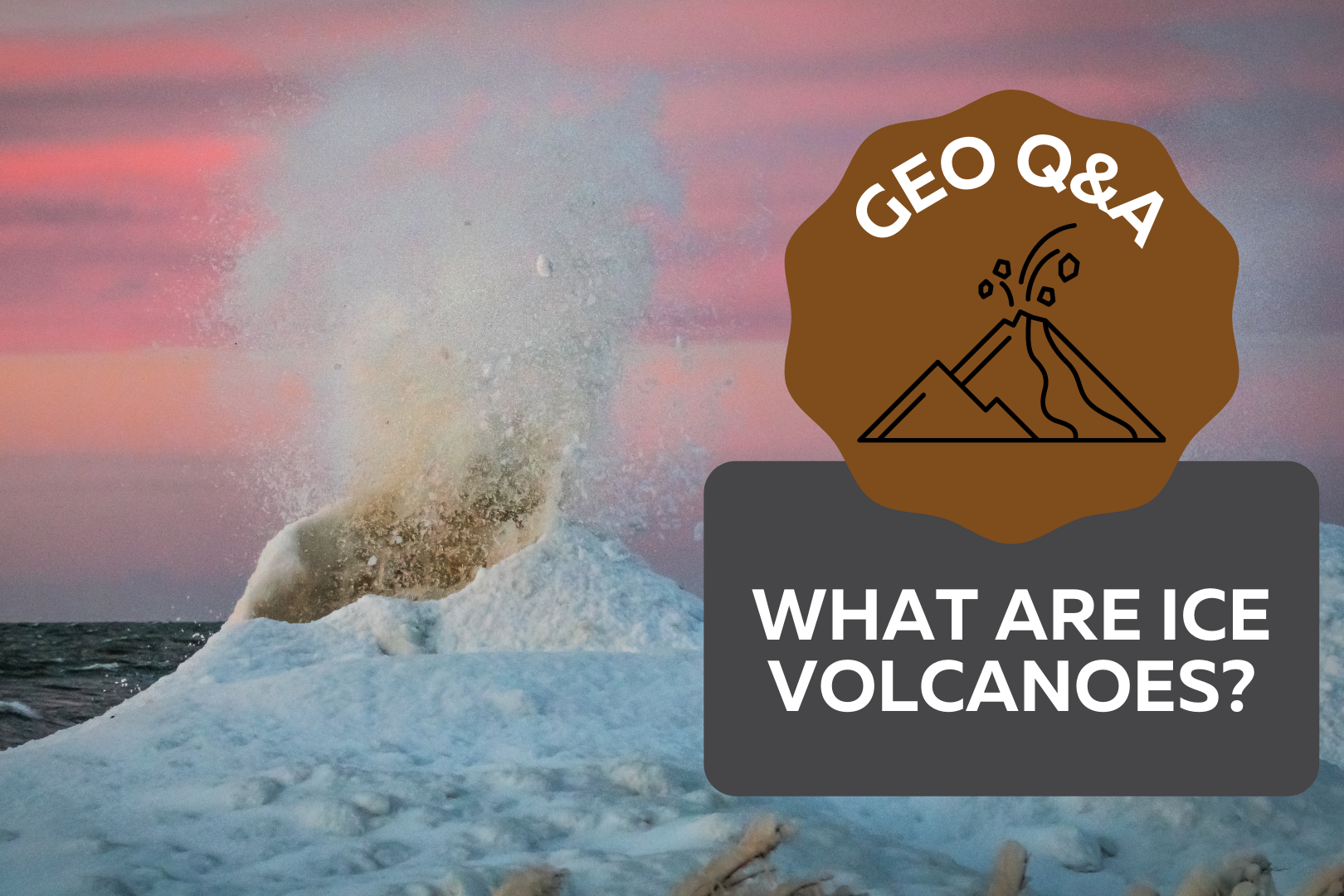
If you’ve ever walked on the shoreline of one of the Great Lakes in the winter, you might have seen some inconspicuous mounds of ice on the water. These mounds, often forming in lines parallel to the shore, are known as ice volcanoes. Although they don’t spew fire like their rocky counterparts, if conditions are right, ice volcanoes can erupt icy cold water up to 10 metres high! They are typically conical in shape, like a stratovolcano, and have a hole going down the middle. What are the conditions for an ice volcano to form? Ice volcanoes can grow in a matter of hours—but only if the conditions are right. Usually, ice volcanoes only form on freshwater lakes because salt water has a lower freezing temperature. The lake must not be completely frozen, because they depend on wave action to form. It also must be cold enough outside for the spray from the waves to freeze into ice. If all these conditions are present, then there is the potential for an ice volcano to form. How do ice volcanoes form? Firstly, water freezes on the edge of the lake forming an ice shelf. The waves from the lake hit the ice shelf and go over and underneath it. When the water flows under the shelf, it sprays up through any cracks or holes in the ice. The spray from the water freezes on top of the shelf around any cracks or holes. If this process continues for long enough, the ice can grow into a mini volcano surrounding an existing hole! Where can I go to see them? If you want to see an ice volcano, be sure to keep a safe distance away and always stay on shore. The best place to see ice volcanoes is on the southern shores of Lake Erie and Lake Ontario. When the onshore wind is above 40km/hour and the temperature is below freezing, there are often rows of volcanoes by the shore. They can also form over sand bars or rocky reefs, although this is less common. This process is similar because the water is pushed upward under an ice shelf as it reaches shallower depths. From shore, you might even be able to locate a sand bar by the distinctive row of volcanoes on top of it. Why are ice volcanoes dangerous? Although icy cold spray from an erupting volcano may not be pleasant, the real danger from ice volcanoes is getting stuck inside one. If someone were to climb a volcano and fall inside the mouth, it would be extremely difficult for them to get out of the cold lake water surrounded by ice. Ice shelves are often unstable and cannot hold much weight. It is very important to never try to walk on an ice shelf or climb ice mounds. Always view them safely from shore. Why are ice volcanoes important? Ice volcanoes are useful in helping protect shorelines from erosion caused by waves and storms. While this protection doesn’t last long because the life of an ice volcano is relatively short, their presence still contributes to reducing shore erosion. Geoscientists study how erosion impacts the stability of shorelines and slopes in order to protect infrastructure from damage. If you’re curious about how geoscientists research and protect oceans, lakes, rivers and groundwater, checkout this video from GeoscienceINFO.com: Can we see ice volcanoes in other places? The Great Lakes are an excellent location to see ice volcanoes, but that’s not the only place you’ll find these types of structures. Astronomers have seen similar formations on other planets and celestial bodies! Off Earth, these formations are called cryovolcanoes, literally meaning “cold volcano.” They don’t only spew water, they can also erupt other volatiles like methane and ammonia. How do cryovolcanoes form? Similar to ice volcanoes on Earth, the temperature must be cool enough to freeze volatiles like water, methane, and ammonia. This most often happens on planets on the outer edges of solar systems, like the dwarf planet Pluto, or on moons and asteroids. The essential elements of cryovolcanoes are the same as ice volcanoes on Earth: an icy cone with liquid erupting up from underneath. But the actual formation of cryovolcanoes can be quite different. It has been theorized that a process called tidal friction is responsible for the formation of some cryovolcanoes. Jupiter’s moon Europa is made up of a worldwide ocean of liquid water or slushy ice with an overlying icy crust. The liquid under the crust moves due to the gravitational pull of Jupiter, creating tides. The moving liquid puts pressure on the ice, making cracks and fissures. As the liquid sloshes through these cracks in the crust and freezes, cryovolcanoes grow around the cracks and holes. However, tidal friction isn’t the only possible explanation for the formation of cryovolcanoes. If the inside of a planet is hot enough, materials that are melted will rise to the surface and create cryovolcanoes, similar to how magma rises through the mantle on Earth. There are two potential sources of heat on these celestial bodies. The first is caused by the decay of radioactive elements creating radiogenic heat. The second is heat left over from the formation of the planet, called primordial heat. Why are cryovolcanoes important? Cryovolcanoes can tell us a lot about the makeup of celestial bodies. For example, the finding of a giant cryovolcano on Saturn’s moon Titan helped to explain a prexisting mystery of the moon. The atmosphere of Titan has a large amount of methane in it, but since methane breaks down in sunlight, there should be less methane in the atmosphere than there is. The presence of the cryovolcano suggests that the methane is replenished from the interior of the planet by eruptions from the cryovolcano. Cryovolcanoes can help scientists to understand the mechanisms that create formations on celestial bodies. The beauty of ice volcanoes If you want to see ice volcanoes in action, go to the shore of a Great Lake this winter.

Meet Xueya Lu, one of the inaugural recipients of an APGO Education Foundation Scholarship. Xueya is a Ph.D. student studying carbon capture as a method for mitigating climate change.
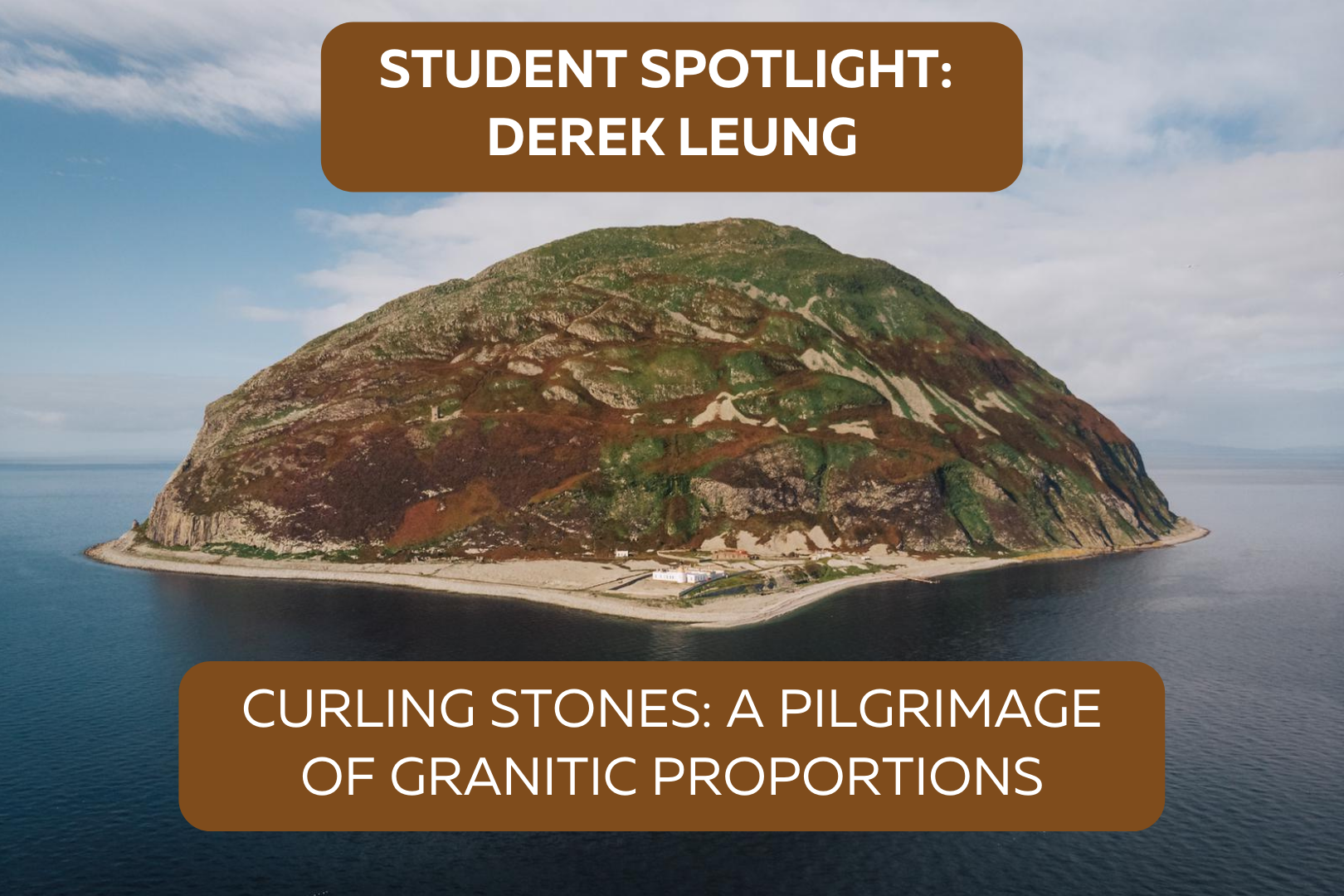
What do geology and curling have in common? Find out in this article about Derek Leung’s fascinating research and travels in Scotland.