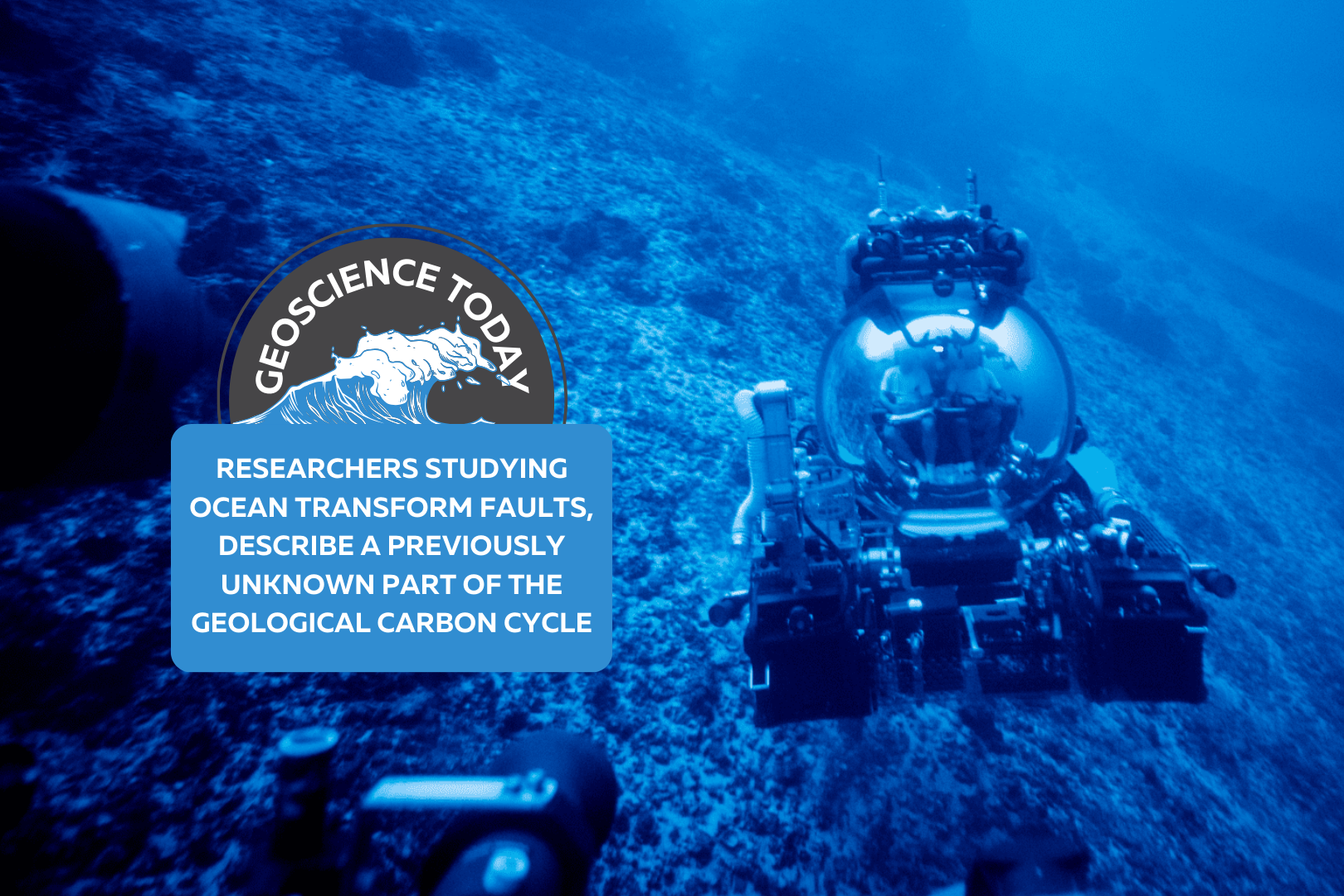
Submarine in the ocean. Text reads: "Geoscience Today: Researchers Studying Ocean Transform Faults, Describe a Previously Unknown Part of the Geological Carbon Cycle"

Researchers Studying Ocean Transform Faults, Describe a Previously Unknown Part of the Geological Carbon Cycle

Chief Scientist Frieder Klein and Deep Rover Pilot Alan Scot exploring a submerged carbonate platform. (Photo by: Novus Select) Woods Hole, Mass. Republished with permission. Original article here. Studying a rock is like reading a book. The rock has a story to tell, says Frieder Klein, an associate scientist in the Marine Chemistry & Geochemistry Department at the Woods Hole Oceanographic Institution (WHOI). The rocks that Klein and his colleagues analyzed from the submerged flanks of the St. Peter and St. Paul Archipelago in the St. Paul’s oceanic transform fault, about 500 km off the coast of Brazil, tells a fascinating and previously unknown story about parts of the geological carbon cycle. Transform faults, where tectonic plates move past each other, are one of three main plate boundaries on Earth and about 48,000 km in length globally, with the others being the global mid-ocean ridge system (about 65,000 km) and subduction zones (about 55,000 km). Carbon cycling at mid-ocean ridges and subduction zones has been studied for decades. In contrast, scientists have paid relatively scant attention to CO2 in oceanic transform faults. The transform faults were considered “somewhat boring” places for quite some time because of the low magmatic activity there, says Klein. “What we have now pieced together is that the mantle rocks that are exposed along these ocean transform faults represent a potentially vast sink for CO2,” he says. Partial melting of the mantle releases CO2 that becomes entrained in hydrothermal fluid, reacts with the mantle closer to the seafloor, and is captured there. This is a part of the geological carbon cycle that was not known before,” says Klein, lead author of a new journal study “Mineral Carbonation of Peridotite Fueled by Magmatic Degassing and Melt Impregnation in an Oceanic Transform Fault,” published in the Proceedings of the National Academy of Sciences (PNAS). Because transform faults have not been accounted for in previous estimates of global geological CO2 fluxes, the mass transfer of magmatic CO2 to the altered oceanic mantle and seawater may be larger than previously thought.” ”The amount of CO2 emitted at the transform faults is negligible compared to the amount of anthropogenic – or human driven – CO2,” says Klein. “However, on geological timescales and before humans emitted so much CO2, geological emissions from Earth’s mantle – including from transform faults – were a major driving force of Earth’s climate.” As the paper states, “global anthropogenic CO2 emissions are estimated to be on the order of 36 gigatons (Gt) per year, dwarfing estimates of average geological emissions (0.26 Gt per year) to the atmosphere and hydrosphere. Yet, over geological timescales, emissions of CO2 sourced from Earth’s mantle have been pivotal in regulating Earth’s climate and habitability, as well as the C [carbon]-concentration in surface reservoirs, including the oceans, atmosphere, and lithosphere.” Klein adds that “this is before anthropogenic combustion of fossil fuels, of course” “In order to fully understand modern human-caused climate change, we need to understand natural climate fluctuations in Earth’s deep past, which are tied to perturbations in Earth’s natural carbon cycle. Our work provides insights into long-timescale fluxes of carbon between Earth’s mantle and the ocean/atmosphere system,” says co-author Tim Schroeder, member of the faculty at Bennington College, Vermont. “Large changes in such carbon fluxes over millions of years have caused Earth’s climate to be much warmer or colder than it is today.” To better understand carbon cycling between Earth’s mantle and the ocean, Klein, Schroeder, and colleagues studied the formation of soapstone “and other magnesite-bearing assemblages during mineral carbonation of mantle peridotite” in the St. Paul’s transform fault, the paper notes. “Fueled by magmatism in or below the root zone of the transform fault and subsequent degassing, the fault constitutes a conduit for CO2-rich hydrothermal fluids, while carbonation of peridotite represents a potentially vast sink for the emitted CO2.” The researchers argue in the paper that “the combination of low extents of melting, which generates melts enriched in incompatible elements, volatiles and particularly CO2, and the presence of peridotite at oceanic transform faults creates conditions conducive to extensive mineral carbonation.” The rocks were collected using human-occupied vehicles during a 2017 cruise to the area. Finding and analyzing these rocks “was a dream come true. We had predicted the presence of carbonate-altered oceanic mantle rocks 12 years ago, but we couldn’t find them anywhere,” says Klein. “We went to the archipelago to explore for low-temperature hydrothermal activity, and we failed miserably in finding any such activity there. It was unbelievable that we were able to find these rocks in a transform fault, because we found them basically by chance while looking for something else.” Funding for this research was provided by the Dalio Ocean Initiative, the Independent Research & Development Program at WHOI, and the National Science Foundation. Authors: Frieder Klein*, Timothy Schroeder, Cédric M. John, Simon Davis3, Susan E. Humphris1, Jeffrey S. Seewald1, Susanna Sichel, Wolfgang Bach, and Daniele Brunelli,1 Affiliations: *Corresponding author About Woods Hole Oceanographic Institution: The Woods Hole Oceanographic Institution (WHOI) is a private, non-profit organization on Cape Cod, Massachusetts, dedicated to marine research, engineering, and higher education. Established in 1930, its primary mission is to understand the ocean and its interaction with the Earth as a whole, and to communicate an understanding of the ocean’s role in the changing global environment. WHOI’s pioneering discoveries stem from an ideal combination of science and engineering—one that has made it one of the most trusted and technically advanced leaders in basic and applied ocean research and exploration anywhere. WHOI is known for its multidisciplinary approach, superior ship operations, and unparalleled deep-sea robotics capabilities. We play a leading role in ocean observation and operate the most extensive suite of data-gathering platforms in the world. Top scientists, engineers, and students collaborate on more than 800 concurrent projects worldwide—both above and below the waves—pushing the boundaries of knowledge and possibility. For more information, please visit www.whoi.edu
Read More »
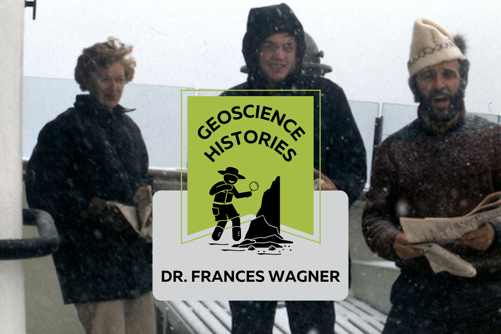
Three people standing on the deck of a boat with snow falling. Text on top of the photo reads: "Geoscience Histories, Frances Wagner"

Geoscience Histories: Dr. Frances Wagner

Frances Wagner was one of Canada’s first female geologists. Her studies in micropaleontology and mapping of Canada’s microscopic fossils were groundbreaking to our understanding of the geology of the continental shelves around Canada, especially the Arctic.  Frances was born in May of 1927 and grew up in Hamilton, Ontario, spending summers enjoying nature at her family’s cottage on Mary Lake. She and her brother would identify the lichens on the Canadian Shield rocks and go canoeing and exploring.  Wagner studied paleontology at the University of Toronto for her undergrad and went on to complete a Master’s degree in invertebrate paleontology at UofT. She researched Ordovician fossils near Ottawa under Dr. Alice Wilson (see our blog post on Dr. Wilson). The summer before she completed her Master’s degree she was hired by the Geological Survey of Canada (GSC) to catalogue fossil samples from the Victoria Museum in Ottawa. She was only the third woman to work at the GSC, in a time where women were considered too weak to do field work. Frances Wagner and her colleague Dr. Helen Belyea were some of the first women to work in the field at the GSC in the summer of 1950 with the support of Dr. Alice Wilson. Wagner went on to complete her PhD in micropaleontology at Stanford University in California. Her thesis was supervised by another groundbreaking female geoscientist Dr. Myra Keen. Her thesis was on marine Pleistocene deposits in southwestern British Columbia. She studied with a Geological Survey of Canada work party on the coast of British Columbia and shipped 350 pounds of samples from British Columbia to California to complete her studies. Her PhD allowed her to pioneer the study of marine micropaleontology. In 1954 Wagner returned to Ottawa to work full time at the GSC and complete her thesis at the same time. In order to complete her PhD she travelled three days by train to Stanford and three days back for her oral exam. In 1964, Wagner’s colleague Charlotte Keen was the first woman to travel on a research ship. The next summer, Dr. Wagner joined Keen and a few other women on the CSS Hudson to map the floor of Hudson’s Bay. The CSS Hudson was the first ship to circumnavigate North America. Wagner joined the ship as it traversed the dangerous Northwest Passage. This was a particularly perlious journey, and they concluded that the Northwest Passage was unsafe for travel. Chief Scientist Dr. Bernard Pelletier wrote in the ship report that at one point, “[the ship] rode up onto a particularly hard floe and slid off one side thereby heeling to port so abruptly and steeply that her guardrail almost touched the broken sea ice.” This is just a taste of the danger that Dr. Pelletier wrote in the report. While on the CSS Hudson, Dr. Wagner studied the ecological history of the Beaufort Sea and published groundbreaking work on the topic. In 1967, Dr. Wagner moved to Nova Scotia to work for the Bedford Institute of Oceanography. She used her experience in marine micropaleontology to study the microbiota of the Arctic and Atlantic continental shelves. In 1973 Dr. Wagner was elected as a Fellow of the Royal Canadian Geographical Society. In 1979 she co-authored a second paper on the Beaufort Shelf, this one focusing on the effects of disturbances, such as hydrocarbon drilling, on the marine ecology of the area. Outside of her career, Frances was an avid horsewoman. She owned two registered Morgan horses, Belle and Jay. She raised Jay from 5 months old and rode him for 24 years. She helped found the Nova Scotia Historical Riding Society and learned to ride sidesaddle in order to do demonstrations of traditional riding techniques at different Museum sites in Nova Scotia. She also researched and sewed traditional clothing for the Uniacke Heritage Society. Wagner was also a dog breeder. She had a kennel called Thicketwood where she bred Shetland Sheepdogs. She helped save the rare Norwegian Lundehund from extinction, importing them to Canada and breeding and showing them. Once she retired in 1984, she focused more of her time and attention on her dog breeding and horseback riding. She always had a love for the outdoors, and was an accomplished canoeist and long distance swimmer.  Wagner never married or had kids. When asked about it she said, “I was a career girl.” In Wagner’s day there was a lot of prejudice against women in the workplace getting married or having families. In Canada there was a law in place that allowed employers to fire female employees if they married. This legislation was only repealed in 1955, when Wagner was already 28 years old. Dr. Wagner had an immense influence on the field of micropaleontology in Canada. You can read one of Dr. Wagner’s publications, “Fossils of Ontario: Part 2: Macroinvertebrates and vertebrates of the Champlain Sea,” published by the Royal Ontario museum. Along with her female colleagues, she defied expectations and made major contributions to her field doing work that was previously considered improper or too difficult for women. Sources:  Science.ca Scientist Profile Frances Wagner Trowelblazers Frances Wagner NecroCanada Obituaries Frances Wagner Ada Lovelace Day Dr Frances Wagner Paleontology and stratigraphy of the marine Pleistocene deposits of Southwestern British Columbia. Fossils of Ontario: Part 2: Macroinvertebrates and vertebrates of the Champlain Sea Author Veronica Klassen is the Manager of the Foundation’s blog – Beneath Your Feet: A Geoscience Blog. She studied Arts and Science at McMaster University with a minor in Earth Science and has a masters in Science Communication from Laurentian University. She is passionate about making science accessible and engaging to the public.

Read More »
A geologic map showing different coloured rock units. Text over the map reads: "Geoscience Today. Introductory Resources for Exploring the Geology of Ontario."

Introductory Resources for Exploring the Geology of Ontario

A note from APGOEF:  Today we are publishing something a bit different than our regular blog posts! It is our primary goal at APGOEF to educate and spread awareness about geoscience, so when Ken Lyon presented us with this comprehensive list of resources, we couldn’t resist sharing it with our readers. We hope you will find this compilation useful to your exploration of earth science. APGOEF does not take responsibility for the content of the resources provided, and cannot vouch for their validity. Preface The following is written by: Ken Lyon, MSc, P.Geo, kenlyongeo@gmail.com, Peterborough, ON The impetus for this compilation of over 50 publications and internet resources came from Laura Mancini of the Ontario Geological Survey. Laura reached out to me in 2021 in my capacity as Newsletter Editor of the Kawartha Rock and Fossil Club. She had been contacted by someone who was looking to explore the geology of Ontario, and wondered if the Kawartha club might have something to help. Laura’s question fit in with a list of resources that I had started compiling for rockhounds, field naturalists and other people who like these kinds of things. Perhaps now more than ever with climate change and related issues front-and-centre, we are coming to appreciate that geoscience is hugely significant and fun to learn about and explore. In compiling this list, I have tried to offer some guidance by assigning levels to the resources ranging from Level 1 for those who know nothing or little about geology to Level 3 for those who feel comfortable with basic concepts. Resources marked with a * are particularly recommended. I have included some of my favourite books that cost money and also many good resources that are free of charge. Level 3 and beyond takes you into the worlds of serious mineral, rock and fossil collectors and people who have taken college and university courses. This is not to say that you need formal study. I am constantly learning from members of the Kawartha and other clubs who are self-taught and know more about some topics than I ever will. This compilation is a work-in-progress and I have made some minor revisions since 2021. Hopefully, you will find a few “nuggets” of information to help you get out and have some fun. Amethyst rock from Thunder Bay area, ON. Photo: Ken Lyon Amethyst is a purple variety of quartz and the official gemstone of Ontario. The reddish-brown crystals on the left are amethyst crystals coated with the iron mineral, hematite. The length of the rock shown is 40 cm. My wife bought this as a treasured addition to her rock garden. Acknowledgements While I take responsibility for selection of the resource list and comments, I would like to gratefully acknowledge review comments and encouragement provided by the following in alphabetical order: Andy Fyon, PhD, formerly of the Ontario Geological Survey; Kevin Kidd of the Kawartha Rock and Fossil Club and the Gem and Mineral Club of Scarborough; Laura Mancini, MSc, PGeo, of the Ontario Geological Survey; Bill Pearson, PhD, PGeo, and Deana Schwarz, PhD, PGeo, of the APGO Education Foundation; and Ashley Pollock of the London Gem, Mineral and Fossil Society, the Walker Mineralogical Club, and the Central Canadian Federation of Mineralogical Societies (CCFMS) Some Important Precautions and Disclaimers You are responsible for knowing where you can go, where you can park, what safety hazards may exist and what personal protective equipment you need, and what you can pick up and take back home. Parking rules change from road to road and place to place.  Respect all laws and rights governing private and Crown property, and obey all rules and regulations covering any access to and from any of locations. Bedrock outcrops and other locations can pose traffic, slip-trip-fall and other hazards. The use of hammers can be dangerous and in some cases destroys the outcrop for future observation. Rock, mineral and fossil samples cannot be removed from protected areas such as parks and conservation areas or from private property without permission. If you are rockhounding, please follow the CCFMS Code of Ethics for Rockhounds (https://ccfms.ca/Copied_Field_Trips.php) and Safety for Field Trippers (https://ccfms.ca/CCFMS-Safety-Rules.php). I have not personally visited most of the sites listed and cannot vouch for the accuracy of the content of the resources. And finally, I have to disclaim any liability in connection with the use of the information presented and my annotated comments and recommendations. Great Unconformity bedrock outcrop at Galesburg just northeast of Peterborough in The Land Between. Photo: Ken Lyon Paleozoic Ordovician limestone about 450 million years old overlying Precambrian granitic mountain core about 1 billion years old; incredible time spans. Annotated List Alphabetically by Author (or source when no author is available) Resources marked * are particularly recommended. Level 1 Resources Brachiopod and bryozoa fossils in limestone near Lindsay, ON. Photo: Don McLeod used with permission. Don maintains a good nature blog at https://www.donaldmcleod.com Fossiliferous Ordovician limestone about 450 million years old. At the time we were under a warm shallow sea south of the equator. The large fossil is about 3 cm across. Other Museums, Science Centres, Geo-Parks There are many museums and other facilities across southern Ontario that feature geology exhibits. Here are a few that were recommended by my reviewers: Arkona Lions Museum –  Arkona, ON Bancroft Mineral and Mining Museum, Bancroft, ON Canadian Museum of Nature, Ottawa, ON Hooper Virtual Natural History Museum – Carleton University, Ottawa, ON Metcalfe Geoheritage Park – Almonte  Miller Museum of Geology, Queens University, Kingston, ON Oil Museum of Canada, Oil Springs, ON Science North – Sudbury, ON Additional Fossil Resources Some additional fossil references recommended by my reviewers are listed below: Level 2 Resources Physiographic features of the Peterborough – Stoney Lake, ON area. Small portion of Physiography of the South Central Portion of Southern Ontario. Ont. Dept. of Mines and Northern Affairs, Map 2226. Scale 1:253,440. © Queen’s Printer for Ontario 1972. Reprinted 1984 with minor revisions. Features shown include till moraine (purple), sand plains

Read More »
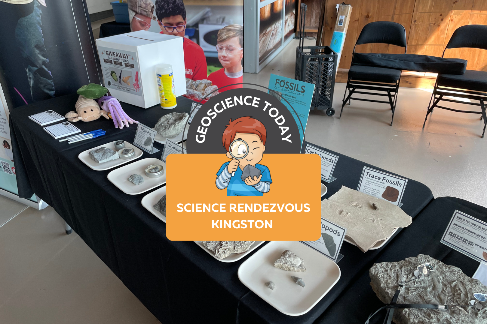
The APGOEF table at Science Rendezvous with fossils and stuffed animals. On top of the image text reads "Geoscience today: Science Rendezvous Kingston"

AGPOEF at Science Rendezvous Kingston

The APGO Education Foundation was excited to participate in Science Rendezvous in Kingston on May 13th, 2023! APGOEF has attended Science Rendezvous Kingston in previous years, and it has always been an incredible outreach event.  The day started with opening ceremonies where the official town crier announced the decision to make May 13th, 2023, the official “Science Rendezvous Day.” The town crier along with the mayor opened the doors at 10am to allow the crowd of families into the Leon’s Centre on the Tragically Hip Way by Kingston’s waterfront.  APGOEF collaborated with Mining Matters to create a fun table about the fossils of Kingston! Our booth was right next to the entrance to the Leon’s Centre and the crowd was instantly lining up to take a look at our fossils. We had an extensive fossil collection on display; some of which were donated to us by Bob O’Donnell.  We engaged kids by handing out stickers that said “I love fossils.” The kids loved them, putting them on their hands and t-shirts or tucking them away safely into their tote bags provided by Science Rendezvous. We also brought our signature colour-changing pencils, which are always a hit at any event we go to. We showed the children how, if you rub the pencil between your hands, it will change from black to pink or blue! Everyone was obsessed with the pencils and we handed out 500 or more.  We also had an interactive trace fossil activity with Play Doh. We provided an assortment of invertebrate fossils such as brachiopods, bryozoans, and corals, and encouraged people to press the fossils into the Play Doh and lift them out leaving behind a pattern. These patterns are similar to how trace fossils are made when the organism is alive, and sometimes all we have preserved of an organism is records of its behaviour in the sediment and not the animal itself! We also had some fun trace fossils on hand to surprise kids, such as footprints and coprolites (fossilized poop!) Once the kids were finished playing with the fossils and Play Doh, they moved further down the table to take a look at some cool fossil samples that could be found in the Kingston area. We explained how Kingston used to be under a massive shallow sea, and how all the sea creatures we see fossilized here used to live in the sea. We encouraged kids and parents to look around the limestones of Kingston to see some of the same fossils that were displayed here. At the end of the table we held a giveaway for three really cute fossil plushies as well as a copy of Four Billion Years and Counting, the beautifully illustrated geology textbook. We had families fill out a slip of paper answering questions about the fossils they interacted with in order to enter the giveaway. We picked three winners from the ballots the following day and mailed them their prizes. Approximately 1,300 people visited our booth during the 5 hour event. We really enjoyed talking to parents, kids, and individuals about the fossils of Kingston. A lot of the children expressed interest in fossils and some said that they had some fossils or rocks at home already. One child mentioned that he found a fossil on the way to school recently, and a few kids said that they loved dinosaurs. Although we didn’t have any dinosaurs at our table (you won’t find any dinosaur fossils in Kingston, or Ontario generally), we were still excited to connect with the kids about their passions.  The other organizations at Science Rendezvous all had incredible booths! We did not have much of a chance to walk around and see the other exhibits because we were so busy, but the whole event looked like a big success.  We would like to thank Science Rendezvous Kingston for having us again this year and for hosting such an incredible event. We also want to thank Bob O’Donnell for donating some of the beautiful fossils that really made our table a hit. We look forward to doing this again in the future!     Veronica Klassen is the Manager of the Foundation’s blog – Beneath Your Feet: A Geoscience Blog. She studied Arts and Science at McMaster University with a minor in Earth Science and has a Master’s in Science Communication from Laurentian University. She is passionate about making science accessible and engaging to the public.

Read More »
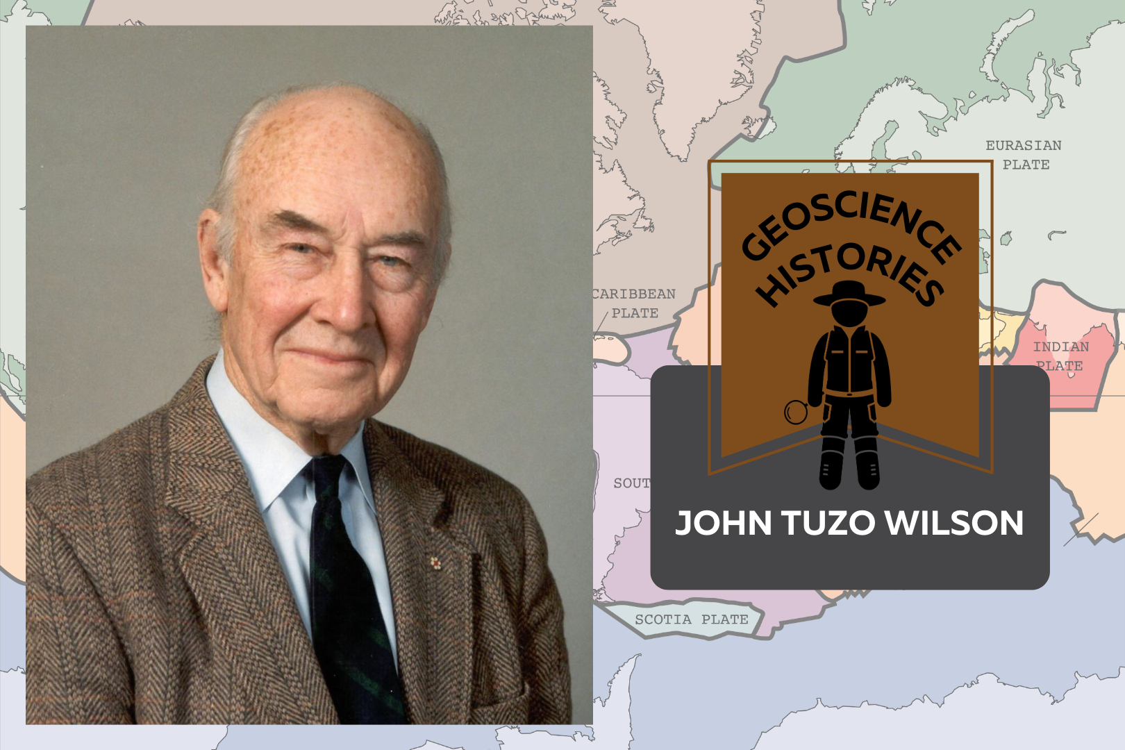
Headshot of John Tuzo Wilson beside text saying: Geoscience Histories: John Tuzo Wilson. In the background there is a colourful map of the world with the tectonic plates outlined

Geoscience Histories: John Tuzo Wilson

Canada’s history is full of geoscientists who have made important discoveries in the field of geoscience. Geoscientists work to help advance technology, solve problems, preserve the environment, and understand Earth’s processes. One important geologist in Canada’s history is John Tuzo Wilson, known for his contributions to the field of plate tectonics.  John was born in Ottawa, in 1908, to Robert Wilson and Annie Tuzo. His father worked for the Canadian government as an engineer and his mother was an adventurous mountain-climber. Annie had a mountain peak named after her, Mount Tuzo, after she and her guide, Christian Bohren, were the first people to ascend the peak. John’s interest in geology began when he was quite young, and he used to collect rocks and fossils on family trips growing up. John studied physics and geology in his undergrad at the University of Toronto (U of T), graduating in 1930. At the time there was no geophysics program at U of T, however, John found instruction wherever he could and did a joint degree instead. He then moved to England on a Massey Fellowship to study at Cambridge. John moved to Princeton for his Ph.D., completing field work on his own in the Beartooth Mountains in Montana.  After his studies, Tuzo Wilson worked for the Geological Survey of Canada as an Assistant Geologist. In 1938, John married Isabel Dickson in Ottawa. When World War II started, he joined the Royal Canadian Engineers, gaining rank to become a colonel. Isabel followed John to England to be closer to him during the war. They returned to Canada together in 1944 and he started a job as a Professor at the University of Toronto. It was here that John Wilson would spend the bulk of the rest of his career.  John Tuzo Wilson via Smorris123 at English Wikipedia, CC BY-SA 3.0, via Wikimedia Commons John’s research at U of T greatly influenced the field of plate tectonics. At the time, Alfred Wegener’s theory of continental drift was largely disputed. Wegener’s theory, published in the early 1900s, asserted that the continents move in relation to one another over long periods of time. But there were inconsistencies in his theory and a lack of evidence. John initially opposed the theory like most of his colleagues, but reconsidered his position later on. This reconsideration ultimately led to Wilson’s theory of plate tectonics.  One of John’s significant contributions to the theory of plate tectonics was the idea of “hot spots.” He drew inspiration from studying the Hawaiian Islands, theorizing that the islands were created as the Pacific tectonic plate moved northwest, over a magma plume in the mantle. This created the chain of volcanoes decreasing in size and intensity to the southwest. This theory resolved some of the contradictions in Wegener’s continental drift theory. Wegner’s theory asserted that volcanoes form solely as a result of movement at the edges of tectonic plates and so was highly disputed because of the lack of explanation for volcanoes located away from plate boundaries (such as Hawaii). Wilson’s new hot spot theory provided an explanation for why there are volcanoes in other places as well as at plate boundaries.  John’s second major discovery was that of transform faults. A transform fault occurs when two plates move past one another,  sometimes resulting in a build-up of stress (e.g., shear stress). Transform faults may cause landforms to break and move past each other, thereby looking offset from each other in aerial view. This new theory of faults explained the topography of mid-ocean ridges and greatly contributed to the larger theory of plate tectonics.  John continued to teach and research at U of T for many years, but even after he retired from the University, he continued to teach his theories, travelling to over 100 countries. He particularly loved travelling to China, and even wrote a book about his trip to China in 1958 entitled “One Chinese Moon.” He produced the tv series “Planet Earth,” and introduced many episodes, continuing his love for teaching. After Wilson retired, he became the director of the Ontario Science Centre, encouraging exploration and interest in science. He famously posted “please touch” signs on the exhibits. He wanted the centre to be a combination of artefacts and hands-on experiments, and often interacted with visitors and school groups. He also supported the introduction of travelling science exhibits in order to make science accessible to remote Ontario communities. The success of the travelling exhibits contributed to the creation of Science North in Sudbury, which Wilson supported.  John Tuzo Wilson’s many discoveries led to our current theory of plate tectonics. His willingness to test the boundaries of science is what gave him great success. His passion for teaching and love for student exploration has greatly impacted the effectiveness of science centres in Ontario.  Nick Eyles recently published a book about John Tuzo Wilson entitled “Tuzo: the unlikely revolutionary of plate tectonics.” It is an enlightening look at Tuzo’s life and career. APGOEF’s president Dr. Bill Pearson describes the book such: Nick has done a tremendous job pulling together a vast amount of historical information not just on the remarkable life and prodigious achievements of Tuzo Wilson but also documenting in fascinating detail the long and protracted battle between those that believed in a contracting earth versus those that believed in continental drift which eventually evolved into what we now know as plate tectonics…The book wonderfully documents the incredible technical revolution especially following WWII that revolutionized the science of geology and moved it rapidly forward…The account of his WWII service is outstanding, and Nick eloquently outlines how his experiences then gave Tuzo many lifelong skills in communication and leadership that would serve him well in future years…It is a fitting tribute to a remarkable man who is unquestionably Canada’s greatest geoscientist.  Dr. Bill Pearson Check out the book at the University of Toronto Press or Amazon. Sources: Brittanica: J. Tuzo Wilson The Canadian Encyclopedia: John Tuzo Wilson The Canadian Encyclopedia: John Tuzo Wilson’s Theory

Read More »
Grey and red stones. Text overlay reads "Geo Careers. Sisyphus Mountain, A career reflection by Melanie Siewert, President of PGO"

Sisyphus Mountain: A Career Reflection by Melanie Siewert, President of PGO

In ancient Greek mythology, Sisyphus is known as the guy destined to push a rock up a mountain for all of eternity, with the rock rolling back to the bottom of the hill each time. For those that do not know the rest of the story, King Sisyphus was a mortal man, known for his arrogance. He made demands of the gods, claiming that his feats as a mortal made him worthy of becoming a god. He claimed he deserved, even demanded, that the gods grant him immortality. The Greek gods were ever obliging but in their twisted way, their gifts were rarely without a price. It is thought that the gods responded to King Sisyphus’ arrogance by rewarding him with a lesson in humility. This story of incessant effort with no reward is often used as a metaphor for our daily slog –  wake up, go to work, put in your hours, come home, go to sleep and do it all over again tomorrow. If this is what you are doing, you are not living a fulfilling career. You are merely collecting a pay cheque. It shouldn’t be that way! After over twenty years practicing as a geoscientist, I often get questions about what I like about my profession and what keeps me engaged. Indefinitely, my answer revolves around lifelong learning. I’ve seen a lot of change in the industry over my time. When I started in the industry, I thought it was about soil, rocks, water and their interactions with contaminants. Since that time, I’ve learned that a career in environmental consulting is about much more than the physical matrices we assess. I’ve learned about various site characterization and remediation technologies, human health and ecological risk assessment, ecological considerations, environmental liability and legal considerations. I’ve seen regulation changes that made previously ‘clean’ sites contaminated once more. I’ve even seen the evolution of methods to deal with contaminants of concern that had not even been identified when I first started practicing. Over the years, I’ve learned invaluable lessons about health and safety, professional ethics, client satisfaction and staff motivation. Some lessons were not necessarily by choice, like experiencing the look of disdain on the face of a driller’s helper that I sent home because he showed up at the drill site in running shoes or experiencing the gut-wrenching feeling of shutting down a job site after hitting a buried line after the public utility locator rushed and missed a traffic line. Other lessons are earned, like the understanding of how different contaminant plumes migrate and the telling evidence to suggest a commingled plume. And some lessons come from investing 10,000 hours in listening to client needs and learning how to tailor the products we provide to satisfy project specific objectives.  One of the most fulfilling aspects of my profession is passing those lessons on to the next generation of professionals: explaining the importance of listening to clients and hearing what drives their decisions. Is it fear of a health and safety incident or fear of a financial audit? Or is their priority protecting site aesthetics like a showcased tulip garden at a public park or avoiding disruptions to site operations like a profitable coffee drive through at a gas station. Or teaching reporting staff that how we present results can be as important as the actual results. I had a tough lesson very early in my career that always stuck with me. A reporter from a small town newspaper took a sentence from my publicly accessible environmental report and presented it out of context. It left me keenly aware of the importance of making every sentence count. I am immensely proud to know that young professionals that I have mentored over my career are now found throughout our industry in regulatory positions.  In my career, I’ve been blessed with daily challenges and opportunities for problem solving. I once visited a job site to perform a safety observation on field staff. Instead, we spent most of our time troubleshooting our drilling location as site logistics wouldn’t allow us to place the borehole where we needed to characterize soil contamination. Sitting in the van after finding a workable solution, he asked me “Have you ever had a job run exactly as planned?” I searched my memory bank and came up with nothing. Consulting is an industry of thinking on our feet and managing change. That same individual from the van left me thoroughly impressed when he applied his determination to a monitoring site where we had “lost” a well for several monitoring events. Other monitoring teams had been to the site and reported back that they couldn’t find the well based on the measurements provided. I remember the look on that determined individual’s face when he said “I saw that well before. I know I can find it.”  And he did! It had incorrectly been recorded relative to two adjacent survey pins; when he shifted his search to the next set of pins, the well was at the exact measurements provided on the figure. I find I have met the most interesting people over the years because consulting attracts people that thrive in an environment of discovery and change. For my part, I have never shied away from accepting those opportunities.  I’ve learned that geoscience is more than geology. You need to be part historian and part detective to piece together a complete conceptual site model. You need to be part interpreter and part politician to bring the right group of technical experts to the table to collaborate on multidisciplinary projects. Any environmental consultant will tell you that there is never a dull moment. We are masters in logistics and contingency planning. If your day to day feels like you are merely punching a time clock, perhaps you are not listening to what the universe is offering.  So back to the guy with the rock. There is an alternate theory to explain the lesson the Greek gods had for King Sissyphus. In

Read More »
Aerial image of a turqoise river with white water. Surrounding the river is cliffs with greenery. Text on top of the photo reads "Geoscience Today. The Niagara Gorge Geotrail."

The Niagara Gorge Geotrail

The beautiful Niagara Gorge is made up of steep walls that rise on either side of the Niagara River, downstream of Niagara Falls, extending to Queenston, Ontario (and Lewiston, New York, depending which side of the river you’re standing on). The gorge itself is a geoscientist’s dream. The colourful rock units that lie one on top of the other may look like layers on a wedding cake but are in fact more like pages of a really good book (see image 1). Our book begins in the Late Ordovician Period, approximately 448 million years ago, at the bottom of the gorge, just above the river’s surface, with a long and juicy chapter called the Queenston Shale. The plot oscillates throughout the book as you read upwards through chapters of dolostone, limestone, sandstone, and shale. The book ends powerfully (note: spoilers ahead) in the Late Silurian Period (about 425 million years ago) with the limestones and dolostones of the Lockport Group, located at the very top of the gorge. The composition of each rock unit can tell us so much information about what the environment was like here, water depth, the types of organisms that lived at the time that the sediment was deposited, and much more. We don’t see giant 11-kilometre-long rock walls like this everywhere, so who or what do we have to thank for this geologic feature? Turns out, it’s just water being water. Southern Ontario has been through its fair share of glacial events. The most recent glacial event, called the Wisconsin Glaciation, lasted roughly 75,000 to 11,000 years ago. The amount of ice that was present in the area cannot be overstated; an ice sheet approximately 1-3 kilometres thick covered the Niagara region! As you can imagine, once this ice started to melt, it produced massive amounts of water. It was all this water that reshaped the water landscape of Ontario, creating new lakes, rivers, and streams, in addition to carving out land features that affect drainage patterns. The Niagara River was formed from this glacial meltwater, as it flowed from early Lake Erie to what is now Lake Ontario (but was the ancient Lake Iroquois at the time). When the Niagara River first started to flow, it would fall over the Niagara Escarpment at its original location, flush with the rest of the escarpment in the Queenston area. It didn’t take long, however, for the water to start eroding away at the escarpment in the river channel (see image 2). The rock units of the escarpment vary in their resistance to erosion. Shale, for example, is more easily eroded by fast-flowing water than limestone. As such, these rock units would erode away first beneath the top Lockport Group layer of dolostone and limestone (we call this top erosion-resistant layer a “caprock”), which would eventually lead to the dolostone/limestone caprock breaking off due to a lack of underlying support. Over the last 12,000 years, Niagara Falls has moved upstream (due to erosion) approximately 11 km! This makes it one of the fastest moving waterfalls in the world (see video below)! Even though Niagara Falls gets all the glory, no trip to the area would be complete without visiting the Whirlpool. Located downstream from the falls, it has a maximum depth of 83 metres and produces such powerful currents that the resulting change in water levels resembles marine tides (see image 3)! When the falls eroded from the rest of the Niagara Escarpment to the location of the Whirlpool, it began to erode through the ancient glacial sediments that had filled in the St. David’s Buried Gorge. These glacial sediments were less resistant to erosion than the surrounding Paleozoic sediments, so more erosion occurred here, forming a wider section of the gorge. This also caused the Niagara River to change direction; this direction change is responsible for the turbulent waters in the Whirlpool (see image 4). The Niagara Whirlpool area has some fantastic geology that can be visited in person, but you have to know where to look. The Niagara Gorge Geotrail, available through GeoscienceINFO.com is a great resource that not only provides exact map-based GPS locations, but it also tells you what geological features you are looking at and how they formed. The Niagara Gorge Geotrail begins by setting the scene beside the Niagara Glen Nature Centre. At this stop you are standing directly on the Wintergreen Flats, which at this location form a promontory – a point of high land that extends out as a headland. Stop #2 provides a fantastic view of the magnificent rock units of the escarpment on the American side. This is best viewed in the early afternoon, as the sun lights up the different coloured layers of shales, sandstones, dolostones, and limestones. When you look at this horizontal rainbow of rocks, think about the different environments that were present at the time they were deposited. From the deeper seas that deposited the shales, to the shallower seas of the sandstones, to the often-busy metropolises of marine organisms that led to the limestone deposits. If fossils are your thing (which I know they are), stops three and five have just what you need. A giant fossilized coral reef allows you to play detective and search for all kinds of little critters from bryozoans to little now-disarticulated crinoid ossicles that once stood tall one on top of each other, holding up the fleshy part of the animal in its calyx at the top. A fallen block of dolostone contains a fossilized trilobite, a class of invertebrates that went completely extinct just before the dinosaurs came on the scene, approximately 250 million years ago (see image 5). The Geotrail wraps up with a large rock block with a strange-looking tunnel in it. It looks like this tunnel was man-made, as it’s exceptionally round and extends right through the rock. This tunnel, actually called a “pothole”, was naturally made through the abrasive action of rocks and water. Potholes form through the repetitive circular movement of

Read More »
Pukaskwa National Park: a river flows away from the camera with some boulders on the right side. On either side cliffs go up from the river and there are trees on top of the cliffs. Text on the photo reads: "Geo Q & A: Victoria Stinson"

Q and A with Victoria Stinson, Inaugural Parks Canada Geologist-In-Residence

What is the Geologist-In-Residence Program? The Geologist-In-Residence Program provides an opportunity for the public to learn about the geological history of the natural landscapes in Canadian National Parks, in this case at Pukaskwa National Park. What were you doing at Pukaskwa National Park? Throughout my stay as Geologist-In-Residence I provided tours along Lake Superior describing the ancient geological processes that created these natural phenomena. Drop-in sessions with the public were also offered where visitors could come by to the campsite to discuss the geological features they encountered during their stay and learn how they were created. Children’s activities in these drop-in sessions involved creating artwork that displayed the geological processes that formed the unique features throughout Pukaskwa National Park. I also created a Rock Collection for the Visitors Centre so that everyone has an opportunity to learn more about the exceptional geology at the park! What geological formations did you teach about? I taught about all of the geological formations at the park but one of the most important contributions was a collaboration with the Interpretation Officer and her team. I identified a carbonate mineral, and other minerals rich in calcium, in a metamorphic rock that provides nutrients to unique arctic plants in the region. The Parks Canada team also put me in touch with a fellow geologist who visited the park earlier that summer that had hypothesized the presence of these minerals! This is an excellent example of the Scientific Method and the importance of collaboration between different types of sciences. What’s a fun story from your time at Pukaskwa? During the Geologist-In-Residence tour for the public a young boy whispered in my ear that I forgot to explain that sedimentary rocks start as sediments. What a great catch! I had forgotten to explain that important part of the Rock Cycle and it shows how important science communication and education are – even with experts! Victoria Stinson is from Fort Frances, Ontario and specializes in ancient tectonic processes on Earth and how they control gold mineralization throughout northern Ontario and globally. Victoria started her geology studies (HBSc. and MSc.) at Lakehead University in Thunder Bay and completed them at the University of Saskatchewan (PhD.). She loves teaching and mentoring, especially in the field, and is open to new collaborative opportunities! The honour of being the inaugural Parks Canada Geologist-In-Residence is a highlight in her life and believes that it is a great first step in improving scientific literacy and appreciation for the natural world in Canada.

Read More »
A old map with text on top of it: "Geoscience Today. The Pendulum, Familial Geoscience and Hobbits."

The Pendulum, Familial Geoscience and Hobbits

By Paul J. Hubley, P.Geo. Part I – Introduction I write this from the floors of ancient seas, drinking connate groundwater filtered through Ordovician limestones of the Iapetus Ocean mixed with proglacial Champlain Sea water. In all things and over vast expanses of time we are connected. – Paul Hubley, inspired by a passage in Geo-Logic (Frodeman 2003). Part II – Bilbo Baggins, Foucault, and Donald Rumsfeld  “It’s a dangerous business Frodo, going out your front door, you step onto the road and if you don’t keep your feet there’s no knowing where you might be swept off to” – Bilbo Baggins, The Hobbit. J.R.R.Tolkien. Bilbo Baggins was speaking from his hard-earned wisdom, entitling his book “There And Back Again, A Hobbit’s Tale”. On the surface it is an episodic tale involving the mysteries of earth and perhaps an early awareness of risk management. But really it’s about relationships. From the title we can relate something of the adventure to our own lives – these days we fill time with our “to’ing” and “fro’ing”, physically and emotionally – going here, coming back, going there, and coming back, often with subtle changes, hopefully mainly positive changes. Stand in one place for long enough and you will observe the back and forth of your life and that of your environment. Losing wallets, finding wallets, losing pens, finding pencils, losing faith in one, restoring faith through another. Birds migrating south, birds migrating north, water heaping onto shore, water receding, daylight coming and going. Back and forth. Repeated. Someone unfortunate enough to experience a hurricane feels the strong winds from one direction followed by calm followed by strong winds from the other direction – back and forth, possibly without ever having the perspective of seeing its regional rotation. At particular scales, circularity may be invisible, linearity is unclear – life can appear as a pendulum.  But what appears to be a There and Back Again pendulum effect on a narrow perspective is typically “corrected” by geoscientists that have come to understand that processes occur on broad cycles, often repetitive, over many millennia and over vast areas. But here we’re going to ignore all of that and do the dangerous business of going out the front door for a moment, exploring the pendulum from another perspective.  “A pendulum is a tool that is used to connect to your higher self and ‘source’ by asking questions to help guide, clarify, and raise your awareness.” reiki healer Kelsey Patel After cleansing the pendulum and preparing questions relative to your life, Patel instructs us to (i) learn how the pendulum moves; (ii) start with what you know; and (iii) remain open (that’s a tough one for us..). In the mid 19th century it was already widely established in science circles that the Earth was round and rotating, but definitive proof was lacking. Jean Bernard Léon Foucault’s pendulum (Foucault’s Pendulum) provided a simple and visual connection between theory and demonstration that was repeatable by anyone. Its key contribution was the insight it provided to a vast audience, especially those from other entry points to the idea: non-scientist, child, believer and skeptic alike. For the first time this was demonstrable proof of theory that could now be seen and felt and readily repeated – it provided needed perspective to the public. These are now found in learning institutions throughout the world. Foucault’s Pendulum exploits the differential between the faster velocity of rotation near the equator and the slower velocity closer to the poles. One of these pendulums activated far enough from the equator will reveal a slow but easily measurable rotation (about 270 degrees over a day of operation in Paris, for example). This doesn’t work at the equator, as there is no speed differential.  Reiki healer Patel asks us to go with what we know. One thing I know is that I don’t know reiki healing. But when I read the following nugget I always feel better about struggling with the vastness of the unknown: Reports that say that something hasn’t happened are always interesting to me, because as we know, there are known knowns; there are things we know we know. We also know there are known unknowns; that is to say we know there are some things we do not know. But there are also unknown unknowns—the ones we don’t know we don’t know. And if one looks throughout the history of our country and other free countries, it is the latter category that tends to be the difficult ones. Donald Rumsfeld Geoscientists know a lot about technical things and are particularly good at knowing known knowns – either within geoscience or connecting to other technical sciency and engineery things. Also, we are slowly and collectively developing an awareness that we (most of us, me included) don’t know as much about the people sciences (humanities and philosophy, etc.) but that we should – a growing awareness of the known unknowns, if you will.  Geo-Logic (Frodeman, 2003) attempts to connect geoscience to philosophy, which is about as unknown unknown as some of us with sciency backgrounds can get. He postulates that “Geologic” seeing is poetic vision constrained by the sobriety of science, a series of daring imaginative leaps disciplined by examination and measurement.  I don’t know about daring but let’s move slightly in that direction for a short time. Part III – Familial Geoscience If you look up this term in an online dictionary you find all sorts of things, like familiar geology, family as it relates to geologic formations, etc., but no Familial Geology or Familial Geoscience. I did not see a definition so I propose one here. How about this: Familial Geology is the relationality of members of a familiar group with the landscape – how relationships are fostered, change and develop related to specific geological processes, geological events or areas of geological significance, etc. There are probably plenty of modern examples of families that episodically go rock collecting together, strengthening bonds between each other

Read More »