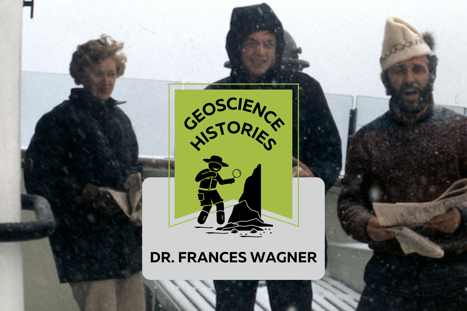
Three people standing on the deck of a boat with snow falling. Text on top of the photo reads: "Geoscience Histories, Frances Wagner"

Geoscience Histories: Dr. Frances Wagner

Frances Wagner was one of Canada’s first female geologists. Her studies in micropaleontology and mapping of Canada’s microscopic fossils were groundbreaking to our understanding of the geology of the continental shelves around Canada, especially the Arctic.  Frances was born in May of 1927 and grew up in Hamilton, Ontario, spending summers enjoying nature at her family’s cottage on Mary Lake. She and her brother would identify the lichens on the Canadian Shield rocks and go canoeing and exploring.  Wagner studied paleontology at the University of Toronto for her undergrad and went on to complete a Master’s degree in invertebrate paleontology at UofT. She researched Ordovician fossils near Ottawa under Dr. Alice Wilson (see our blog post on Dr. Wilson). The summer before she completed her Master’s degree she was hired by the Geological Survey of Canada (GSC) to catalogue fossil samples from the Victoria Museum in Ottawa. She was only the third woman to work at the GSC, in a time where women were considered too weak to do field work. Frances Wagner and her colleague Dr. Helen Belyea were some of the first women to work in the field at the GSC in the summer of 1950 with the support of Dr. Alice Wilson. Wagner went on to complete her PhD in micropaleontology at Stanford University in California. Her thesis was supervised by another groundbreaking female geoscientist Dr. Myra Keen. Her thesis was on marine Pleistocene deposits in southwestern British Columbia. She studied with a Geological Survey of Canada work party on the coast of British Columbia and shipped 350 pounds of samples from British Columbia to California to complete her studies. Her PhD allowed her to pioneer the study of marine micropaleontology. In 1954 Wagner returned to Ottawa to work full time at the GSC and complete her thesis at the same time. In order to complete her PhD she travelled three days by train to Stanford and three days back for her oral exam. In 1964, Wagner’s colleague Charlotte Keen was the first woman to travel on a research ship. The next summer, Dr. Wagner joined Keen and a few other women on the CSS Hudson to map the floor of Hudson’s Bay. The CSS Hudson was the first ship to circumnavigate North America. Wagner joined the ship as it traversed the dangerous Northwest Passage. This was a particularly perlious journey, and they concluded that the Northwest Passage was unsafe for travel. Chief Scientist Dr. Bernard Pelletier wrote in the ship report that at one point, “[the ship] rode up onto a particularly hard floe and slid off one side thereby heeling to port so abruptly and steeply that her guardrail almost touched the broken sea ice.” This is just a taste of the danger that Dr. Pelletier wrote in the report. While on the CSS Hudson, Dr. Wagner studied the ecological history of the Beaufort Sea and published groundbreaking work on the topic. In 1967, Dr. Wagner moved to Nova Scotia to work for the Bedford Institute of Oceanography. She used her experience in marine micropaleontology to study the microbiota of the Arctic and Atlantic continental shelves. In 1973 Dr. Wagner was elected as a Fellow of the Royal Canadian Geographical Society. In 1979 she co-authored a second paper on the Beaufort Shelf, this one focusing on the effects of disturbances, such as hydrocarbon drilling, on the marine ecology of the area. Outside of her career, Frances was an avid horsewoman. She owned two registered Morgan horses, Belle and Jay. She raised Jay from 5 months old and rode him for 24 years. She helped found the Nova Scotia Historical Riding Society and learned to ride sidesaddle in order to do demonstrations of traditional riding techniques at different Museum sites in Nova Scotia. She also researched and sewed traditional clothing for the Uniacke Heritage Society. Wagner was also a dog breeder. She had a kennel called Thicketwood where she bred Shetland Sheepdogs. She helped save the rare Norwegian Lundehund from extinction, importing them to Canada and breeding and showing them. Once she retired in 1984, she focused more of her time and attention on her dog breeding and horseback riding. She always had a love for the outdoors, and was an accomplished canoeist and long distance swimmer.  Wagner never married or had kids. When asked about it she said, “I was a career girl.” In Wagner’s day there was a lot of prejudice against women in the workplace getting married or having families. In Canada there was a law in place that allowed employers to fire female employees if they married. This legislation was only repealed in 1955, when Wagner was already 28 years old. Dr. Wagner had an immense influence on the field of micropaleontology in Canada. You can read one of Dr. Wagner’s publications, “Fossils of Ontario: Part 2: Macroinvertebrates and vertebrates of the Champlain Sea,” published by the Royal Ontario museum. Along with her female colleagues, she defied expectations and made major contributions to her field doing work that was previously considered improper or too difficult for women. Sources:  Science.ca Scientist Profile Frances Wagner Trowelblazers Frances Wagner NecroCanada Obituaries Frances Wagner Ada Lovelace Day Dr Frances Wagner Paleontology and stratigraphy of the marine Pleistocene deposits of Southwestern British Columbia. Fossils of Ontario: Part 2: Macroinvertebrates and vertebrates of the Champlain Sea Author Veronica Klassen is the Manager of the Foundation’s blog – Beneath Your Feet: A Geoscience Blog. She studied Arts and Science at McMaster University with a minor in Earth Science and has a masters in Science Communication from Laurentian University. She is passionate about making science accessible and engaging to the public.
Read More »
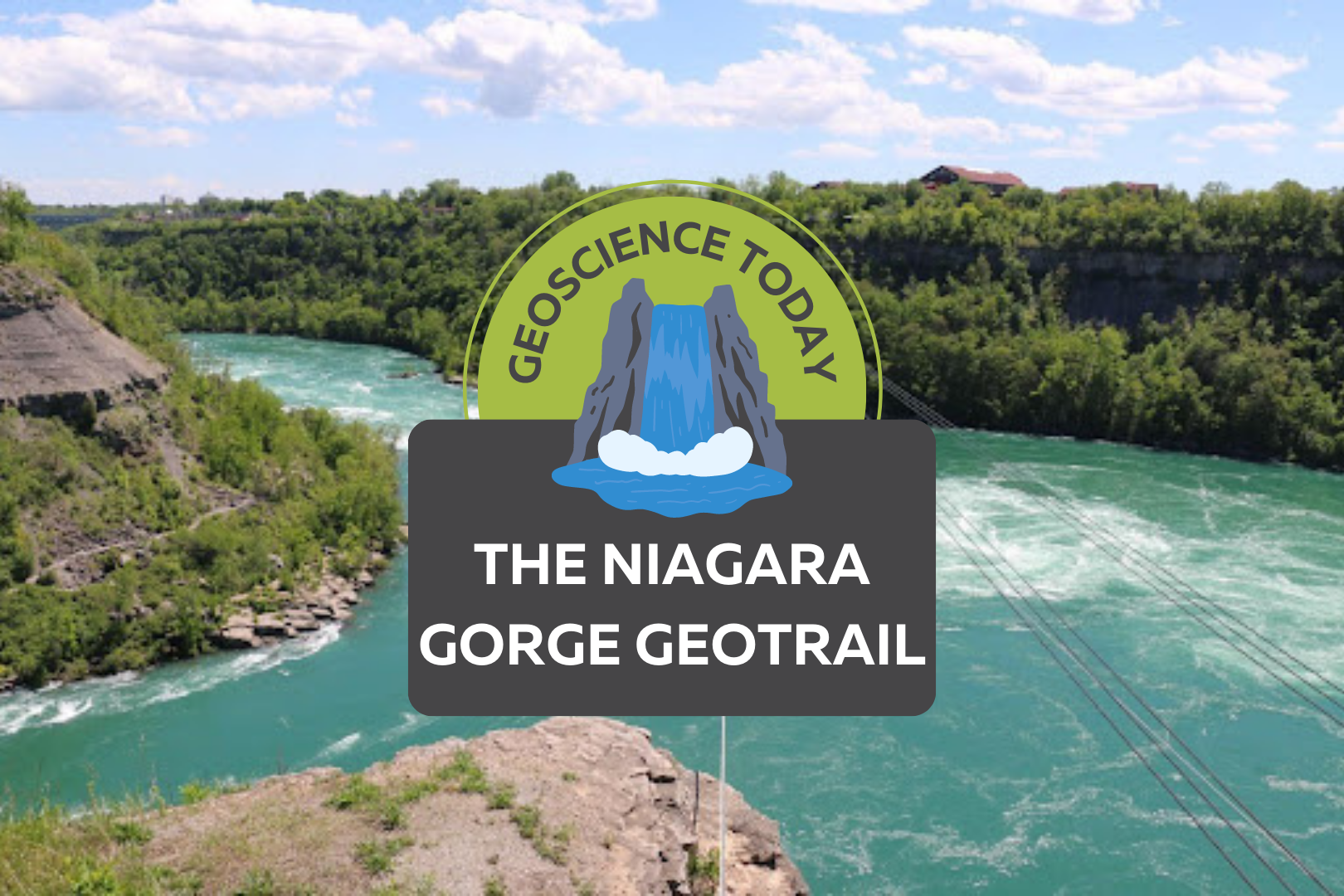
Aerial image of a turqoise river with white water. Surrounding the river is cliffs with greenery. Text on top of the photo reads "Geoscience Today. The Niagara Gorge Geotrail."

The Niagara Gorge Geotrail

The beautiful Niagara Gorge is made up of steep walls that rise on either side of the Niagara River, downstream of Niagara Falls, extending to Queenston, Ontario (and Lewiston, New York, depending which side of the river you’re standing on). The gorge itself is a geoscientist’s dream. The colourful rock units that lie one on top of the other may look like layers on a wedding cake but are in fact more like pages of a really good book (see image 1). Our book begins in the Late Ordovician Period, approximately 448 million years ago, at the bottom of the gorge, just above the river’s surface, with a long and juicy chapter called the Queenston Shale. The plot oscillates throughout the book as you read upwards through chapters of dolostone, limestone, sandstone, and shale. The book ends powerfully (note: spoilers ahead) in the Late Silurian Period (about 425 million years ago) with the limestones and dolostones of the Lockport Group, located at the very top of the gorge. The composition of each rock unit can tell us so much information about what the environment was like here, water depth, the types of organisms that lived at the time that the sediment was deposited, and much more. We don’t see giant 11-kilometre-long rock walls like this everywhere, so who or what do we have to thank for this geologic feature? Turns out, it’s just water being water. Southern Ontario has been through its fair share of glacial events. The most recent glacial event, called the Wisconsin Glaciation, lasted roughly 75,000 to 11,000 years ago. The amount of ice that was present in the area cannot be overstated; an ice sheet approximately 1-3 kilometres thick covered the Niagara region! As you can imagine, once this ice started to melt, it produced massive amounts of water. It was all this water that reshaped the water landscape of Ontario, creating new lakes, rivers, and streams, in addition to carving out land features that affect drainage patterns. The Niagara River was formed from this glacial meltwater, as it flowed from early Lake Erie to what is now Lake Ontario (but was the ancient Lake Iroquois at the time). When the Niagara River first started to flow, it would fall over the Niagara Escarpment at its original location, flush with the rest of the escarpment in the Queenston area. It didn’t take long, however, for the water to start eroding away at the escarpment in the river channel (see image 2). The rock units of the escarpment vary in their resistance to erosion. Shale, for example, is more easily eroded by fast-flowing water than limestone. As such, these rock units would erode away first beneath the top Lockport Group layer of dolostone and limestone (we call this top erosion-resistant layer a “caprock”), which would eventually lead to the dolostone/limestone caprock breaking off due to a lack of underlying support. Over the last 12,000 years, Niagara Falls has moved upstream (due to erosion) approximately 11 km! This makes it one of the fastest moving waterfalls in the world (see video below)! Even though Niagara Falls gets all the glory, no trip to the area would be complete without visiting the Whirlpool. Located downstream from the falls, it has a maximum depth of 83 metres and produces such powerful currents that the resulting change in water levels resembles marine tides (see image 3)! When the falls eroded from the rest of the Niagara Escarpment to the location of the Whirlpool, it began to erode through the ancient glacial sediments that had filled in the St. David’s Buried Gorge. These glacial sediments were less resistant to erosion than the surrounding Paleozoic sediments, so more erosion occurred here, forming a wider section of the gorge. This also caused the Niagara River to change direction; this direction change is responsible for the turbulent waters in the Whirlpool (see image 4). The Niagara Whirlpool area has some fantastic geology that can be visited in person, but you have to know where to look. The Niagara Gorge Geotrail, available through GeoscienceINFO.com is a great resource that not only provides exact map-based GPS locations, but it also tells you what geological features you are looking at and how they formed. The Niagara Gorge Geotrail begins by setting the scene beside the Niagara Glen Nature Centre. At this stop you are standing directly on the Wintergreen Flats, which at this location form a promontory – a point of high land that extends out as a headland. Stop #2 provides a fantastic view of the magnificent rock units of the escarpment on the American side. This is best viewed in the early afternoon, as the sun lights up the different coloured layers of shales, sandstones, dolostones, and limestones. When you look at this horizontal rainbow of rocks, think about the different environments that were present at the time they were deposited. From the deeper seas that deposited the shales, to the shallower seas of the sandstones, to the often-busy metropolises of marine organisms that led to the limestone deposits. If fossils are your thing (which I know they are), stops three and five have just what you need. A giant fossilized coral reef allows you to play detective and search for all kinds of little critters from bryozoans to little now-disarticulated crinoid ossicles that once stood tall one on top of each other, holding up the fleshy part of the animal in its calyx at the top. A fallen block of dolostone contains a fossilized trilobite, a class of invertebrates that went completely extinct just before the dinosaurs came on the scene, approximately 250 million years ago (see image 5). The Geotrail wraps up with a large rock block with a strange-looking tunnel in it. It looks like this tunnel was man-made, as it’s exceptionally round and extends right through the rock. This tunnel, actually called a “pothole”, was naturally made through the abrasive action of rocks and water. Potholes form through the repetitive circular movement of

Read More »
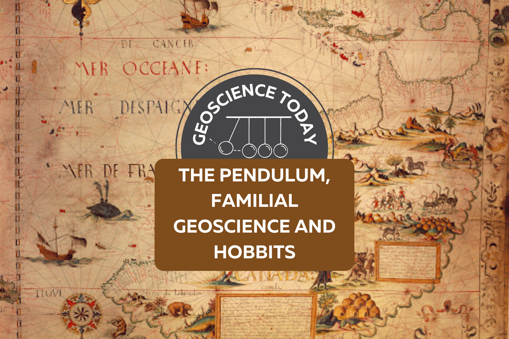
A old map with text on top of it: "Geoscience Today. The Pendulum, Familial Geoscience and Hobbits."

The Pendulum, Familial Geoscience and Hobbits

By Paul J. Hubley, P.Geo. Part I – Introduction I write this from the floors of ancient seas, drinking connate groundwater filtered through Ordovician limestones of the Iapetus Ocean mixed with proglacial Champlain Sea water. In all things and over vast expanses of time we are connected. – Paul Hubley, inspired by a passage in Geo-Logic (Frodeman 2003). Part II – Bilbo Baggins, Foucault, and Donald Rumsfeld  “It’s a dangerous business Frodo, going out your front door, you step onto the road and if you don’t keep your feet there’s no knowing where you might be swept off to” – Bilbo Baggins, The Hobbit. J.R.R.Tolkien. Bilbo Baggins was speaking from his hard-earned wisdom, entitling his book “There And Back Again, A Hobbit’s Tale”. On the surface it is an episodic tale involving the mysteries of earth and perhaps an early awareness of risk management. But really it’s about relationships. From the title we can relate something of the adventure to our own lives – these days we fill time with our “to’ing” and “fro’ing”, physically and emotionally – going here, coming back, going there, and coming back, often with subtle changes, hopefully mainly positive changes. Stand in one place for long enough and you will observe the back and forth of your life and that of your environment. Losing wallets, finding wallets, losing pens, finding pencils, losing faith in one, restoring faith through another. Birds migrating south, birds migrating north, water heaping onto shore, water receding, daylight coming and going. Back and forth. Repeated. Someone unfortunate enough to experience a hurricane feels the strong winds from one direction followed by calm followed by strong winds from the other direction – back and forth, possibly without ever having the perspective of seeing its regional rotation. At particular scales, circularity may be invisible, linearity is unclear – life can appear as a pendulum.  But what appears to be a There and Back Again pendulum effect on a narrow perspective is typically “corrected” by geoscientists that have come to understand that processes occur on broad cycles, often repetitive, over many millennia and over vast areas. But here we’re going to ignore all of that and do the dangerous business of going out the front door for a moment, exploring the pendulum from another perspective.  “A pendulum is a tool that is used to connect to your higher self and ‘source’ by asking questions to help guide, clarify, and raise your awareness.” reiki healer Kelsey Patel After cleansing the pendulum and preparing questions relative to your life, Patel instructs us to (i) learn how the pendulum moves; (ii) start with what you know; and (iii) remain open (that’s a tough one for us..). In the mid 19th century it was already widely established in science circles that the Earth was round and rotating, but definitive proof was lacking. Jean Bernard Léon Foucault’s pendulum (Foucault’s Pendulum) provided a simple and visual connection between theory and demonstration that was repeatable by anyone. Its key contribution was the insight it provided to a vast audience, especially those from other entry points to the idea: non-scientist, child, believer and skeptic alike. For the first time this was demonstrable proof of theory that could now be seen and felt and readily repeated – it provided needed perspective to the public. These are now found in learning institutions throughout the world. Foucault’s Pendulum exploits the differential between the faster velocity of rotation near the equator and the slower velocity closer to the poles. One of these pendulums activated far enough from the equator will reveal a slow but easily measurable rotation (about 270 degrees over a day of operation in Paris, for example). This doesn’t work at the equator, as there is no speed differential.  Reiki healer Patel asks us to go with what we know. One thing I know is that I don’t know reiki healing. But when I read the following nugget I always feel better about struggling with the vastness of the unknown: Reports that say that something hasn’t happened are always interesting to me, because as we know, there are known knowns; there are things we know we know. We also know there are known unknowns; that is to say we know there are some things we do not know. But there are also unknown unknowns—the ones we don’t know we don’t know. And if one looks throughout the history of our country and other free countries, it is the latter category that tends to be the difficult ones. Donald Rumsfeld Geoscientists know a lot about technical things and are particularly good at knowing known knowns – either within geoscience or connecting to other technical sciency and engineery things. Also, we are slowly and collectively developing an awareness that we (most of us, me included) don’t know as much about the people sciences (humanities and philosophy, etc.) but that we should – a growing awareness of the known unknowns, if you will.  Geo-Logic (Frodeman, 2003) attempts to connect geoscience to philosophy, which is about as unknown unknown as some of us with sciency backgrounds can get. He postulates that “Geologic” seeing is poetic vision constrained by the sobriety of science, a series of daring imaginative leaps disciplined by examination and measurement.  I don’t know about daring but let’s move slightly in that direction for a short time. Part III – Familial Geoscience If you look up this term in an online dictionary you find all sorts of things, like familiar geology, family as it relates to geologic formations, etc., but no Familial Geology or Familial Geoscience. I did not see a definition so I propose one here. How about this: Familial Geology is the relationality of members of a familiar group with the landscape – how relationships are fostered, change and develop related to specific geological processes, geological events or areas of geological significance, etc. There are probably plenty of modern examples of families that episodically go rock collecting together, strengthening bonds between each other

Read More »
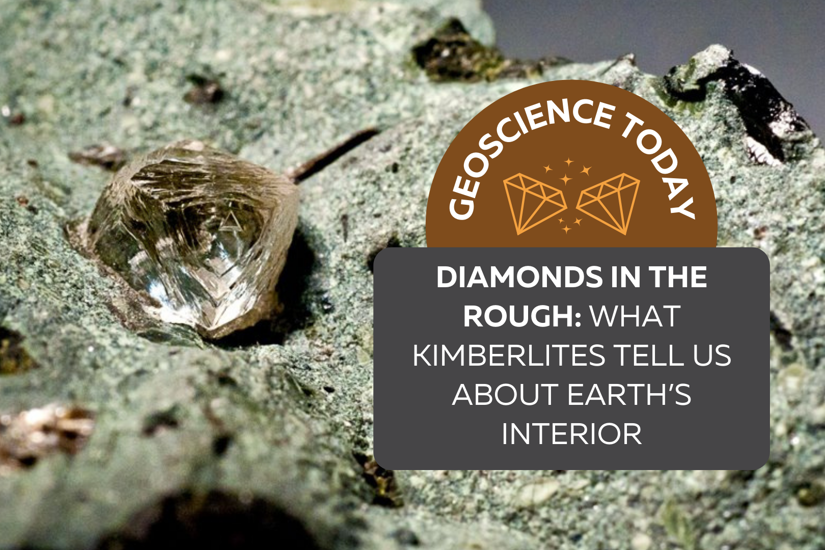
Uncut natural diamond crystal embedded in a rock. On top of the photo text reads "Geoscience Today. Diamonds in the rough: what kimberlites tell us about Earth's interior"

Diamonds in the Rough: What Kimberlites Tell Us About Earth’s Interior

Everyone recognizes a diamond when they see one. Mounted on a ring or embedded in a necklace, these gemstones are prized for their use in jewelry around the world. What many people don’t realize, however, is that diamonds offer much more than commercial value. While the use of diamonds has been traced back to ancient times, large-scale modern diamond mining began in the late 1860s with the discovery of diamonds in Kimberly, South Africa. The rock from which the diamonds were extracted was creatively named kimberlite, after the town. Today, kimberlite is by far the most important source of naturally occurring diamonds, and deposits are found around the world. Diamonds originate from deep in the mantle, hundreds of kilometres beneath Earth’s surface. A common misconception is that diamonds are formed through the metamorphism of coal. This is not the case – although they are both composed of carbon, coal deposits are a result of the burial of plants, whereas diamonds are much older than the first plants on Earth! The journey of a diamond from the mantle to the surface is fascinating, and to properly set the stage, we need to first learn about plate tectonics. Large, rigid continental plates move slowly on Earth’s surface, repeatedly reshaping our continents over millions of years. In some parts of the continental lithosphere, there are massive and ancient blocks that haven’t been a part of subduction or continental rifting processes in billions of years. These are called cratons, and they form the geologically stable interiors of present-day continents. Cratons are found on all continents, including North America; for example, the Superior Province extends across Ontario and Manitoba and forms the core of the Canadian Shield. Typically, cratons are older than 2.5 billion years, meaning they come from a geological eon called the Archean. These cratons are thick enough to reach into the mantle, creating the perfect environment for diamonds to grow – anywhere else, and the pressures and temperatures are not suitable for the crystallization of carbon atoms in diamond form. It’s on the surface of these ancient cratons that diamond-rich kimberlites are found, but the kimberlites themselves are significantly younger than their Archean hosts; most are younger than 150 million years old. So how did they get there? Transporting a diamond from beneath an Archean craton to the surface of Earth is no easy feat, not least of all because the conditions of Earth’s surface are far below a diamond’s “comfort zone”, so to speak. If you were to bring a diamond to the surface at normal geological speeds, it would convert to graphite, the physical arrangement of carbon atoms that is stable at normal pressure and temperature conditions. To keep its diamond passengers happy, the magma must follow a few rules. Kimberlite magmas are full of volatiles, like water and carbon dioxide, and are more magnesium-rich than typical magmas. This type of chemistry produces low-density, low-viscosity magma that wants to separate from the mantle and rise to the surface in a truly remarkable way. Geological models show that kimberlitic magma begins to move upward at speeds ranging from 4–20 metres per second, propelled to even faster speeds by decreasing pressures towards an eventual 200 m/s explosive eruption on the surface. Assuming a starting depth of about 300 kilometres below the surface, a kimberlite could complete its diamond delivery within 15 hours! Considering that many geological features occur over millions of years, kimberlites move from the mantle to the surface relatively instantaneously. The combination of the unique volatile-rich magma chemistry and rapid ascent help to keep the diamonds stable, so they don’t convert to graphite or dissolve into the magma. This eruptive transport gives kimberlite pipes their characteristic “carrot” shape that is sometimes accompanied by a fallback of ejected pyroclastic material, like ash and rock fragments. Since diamonds do not crystallize within the original kimberlite magma and are instead picked up from the mantle as the magma ascends, they’re called xenocrysts, or foreign crystals. But while diamonds tend to get most of the attention, kimberlites can also carry other mantle rock fragments (xenoliths) to the surface. In fact, diamonds themselves often contain mineral inclusions, and while these are heartlessly referred to as flaws by a jeweller, they can be immensely important for understanding the pressure and temperature conditions of diamond growth. So, not only are kimberlites an important source of economic geology, but they can also provide geologists with information about the chemistry and conditions of the deep mantle that we would otherwise be unable to observe. Sadly, there hasn’t been much kimberlite activity in the last 50 million years, which means that the diamonds on our surface today are likely the only ones we’ll ever find on Earth. Even though kimberlite deposits occur on all continents, they can be somewhat difficult to track down. Rocks from the mantle tend to be unstable on the surface of Earth, so even though kimberlites are much younger than their surrounding rock, their composition makes them more vulnerable to weathering and erosion processes. However, specific minerals in kimberlites, like garnet and ilmenite, can survive weathering and in the case of many deposits in Canada, glacial transport. When the kimberlite deposit is hit by an advancing glacier, resistant minerals from the kimberlite are carried along by the ice and exploration geologists can follow the path of these minerals against the direction of glacier transport to find the source kimberlite pipe. Indicator minerals are abundant in kimberlites and relatively rare in other igneous rocks, making them a very useful tool for finding a kimberlite pipe that today might be a crater filled by water or vegetation. This method, also known as drift prospecting, is widely used across Ontario and the northern territories to search for diamond deposits because of Canada’s extensive glacial history.  While diamonds are relatively rare and difficult to find on Earth, they’re actually exceedingly common in space. However, at a billionth of a meter in diameter, they’re nowhere near big enough for an

Read More »
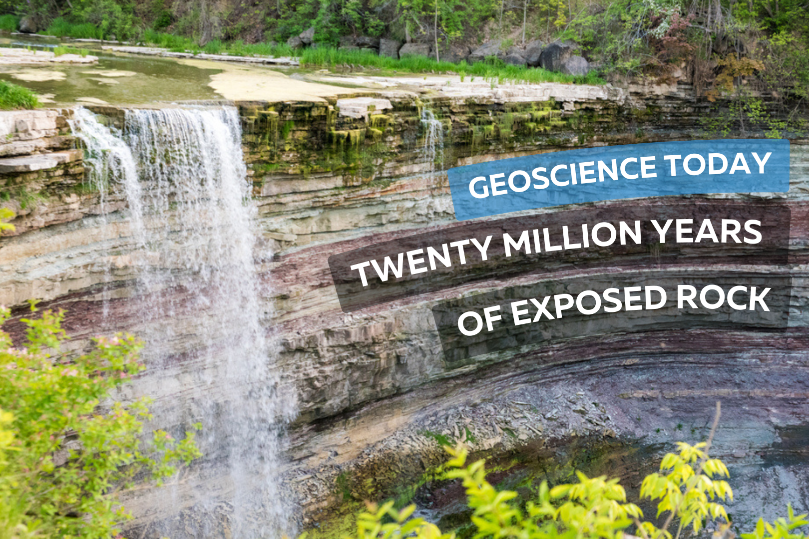
Photo of balls falls showing the water flowing over rock layers. Text on top of the rock reads "Geoscience Today. Twenty million years of exposed rock"

Twenty Million Years of Exposed Rock

This article has been republished with permission from the Niagara Peninsula Aspiring Geopark website. Read the original article here. The Balls Falls Conservation Area, located prominently on the edge of the Niagara Escarpment, beautifully exposes a succession of Upper Ordovician and Lower Silurian rocks along a length of over 2.5km and a vertical dimension of about 65m. This excellent exposure is the result of river and slope erosion dominated by the northward flow of Twenty Mile Creek, over the Upper and Lower Falls, and ultimately into Lake Ontario. Paleozoic Geology Aside from the Niagara Gorge, Balls Falls is one of the few locations in the Geopark where bedrock formations are so well exposed to reveal the geologic history of the region. As shown on this geologic cross section, rock seen along the length of the valley spans a time of roughly 20 million years from the Upper Ordovician Queenston Shale to the Lower Silurian Lockport Formation Limestone. Many of the rock layers can be seen at the Lower Falls located next to the grist mill. It is astounding to realize that from this single vantage point, one can witness so much of the earth’s history. The oldest visible rock formation, the Power Glen Shale (438 my), lies at the base of the falls and the youngest, Reynales Formation Limestone and Shale, is seen at the top. Formations both younger and older are exposed along the valley. Overlying Rochester Shale and Lockport Dolostone form the structure of the Upper Falls while older rocks are exposed below the Lower Falls – buff coloured Whirlpool Sandstone is seen within the gorge walls and river bed and the Queenston Shale Formation, the oldest rock exposed in the Geopark, outcrops further downstream in the prominent cliff just north of King St. The Waterfalls The Upper and Lower Falls are located at two different levels in the stratigraphy. These two levels were created by a combination of scouring glacial action, ending as the last glacier retreated about 12,000 years ago, and by the erosive power of flowing water – most significantly as torrential glacial melt runoff at various periods in history, and later in a more subdued manner as drainage along Twenty Mile Creek. The Upper Falls at 11m high is classified as a curtain falls since the width is greater than its height. About 1.5km downstream, the main Lower Falls at 27m high is considered a classical falls because the height and width are almost equal. Further downstream there is a collapsed waterfall that formed over the course of the past 10,000 to 12,000 years, as the rock layers receded due to erosion. The Gorges The erosional history of the Gorges at Ball’s Falls is complex. Today, you see two active gorges – one below each of the two waterfalls. They have been excavated by two, and possibly more periods of erosion, separated by phases in which the entire area was covered by glacial ice. When the ice last retreated (which was at its peak was at least 1km thick) it left the area covered with glacial till, clay and silt thereby plugging these previously excavated sections of the gorge. As the glacier retreated and water flowed again in the gorge, the weak and loosely consolidated glacial remains were washed out and the “buried gorge” was revealed again. There are also two abandoned gorges – one on the west side of each of the two waterfalls.  These abandoned gorges were active over 25,000 years ago.  The Valley Slopes Weathering on the steep slopes of the gorges gives rise to two main types of slope movement: individual rock falls and rock slides. Individual rock falls take place unnoticed most of the time and is very common on open exposed cliff faces. Large rockslides take place less often – once every six to ten years – but produce a much more obvious result. In 1981, a slide on the east side of the valley occurred as rock at the top of the slope failed, slid down the slope towards the gorge floor and forced the closure of the road. This occurrence was an excellent example of how the gorge evolves – the gorge enlarges and rock is delivered to the river channel to be gradually eroded and carried downstream. The River and Water Flow Twenty Mile Creek is named for the location of its mouth, twenty miles (32 km) west of the Niagara River along the Lake Ontario shoreline. The Indigenous name for the Twenty Mile Creek is the Kenachdaw, which translates to Lead River. It is 50 km in length and drains an area of roughly 290 sq km. River flow in the river normally dries up in the late summer and early fall, although there can be considerable variation in the timing. The largest flood events are usually between January and April as rainfall and melting show pack on saturated ground with little vegetation cover often combine to produce dramatic floods. At the Upper Falls, water flows underground and re-emerges at the cliff on the east side of the falls. Contributor: Niagara Peninsula Conservation Authority Author (photo on left): Perry Hartwick, P.Geo, Niagara Peninsula Aspiring Global Geopark Director and Resident Geologist, Co-founder and President of Upper Canada Stone Company, Ltd., which successfully operates a dozen quarries in Ontario under the Aggregate Resources Act.

Read More »